The best road cycling routes in Vilnios Hidrografinis Draustinis
4.3
(16)
621
riders
13
rides
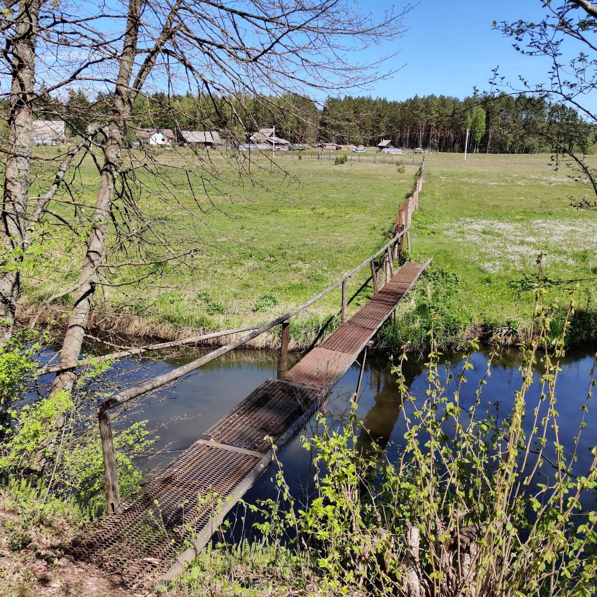
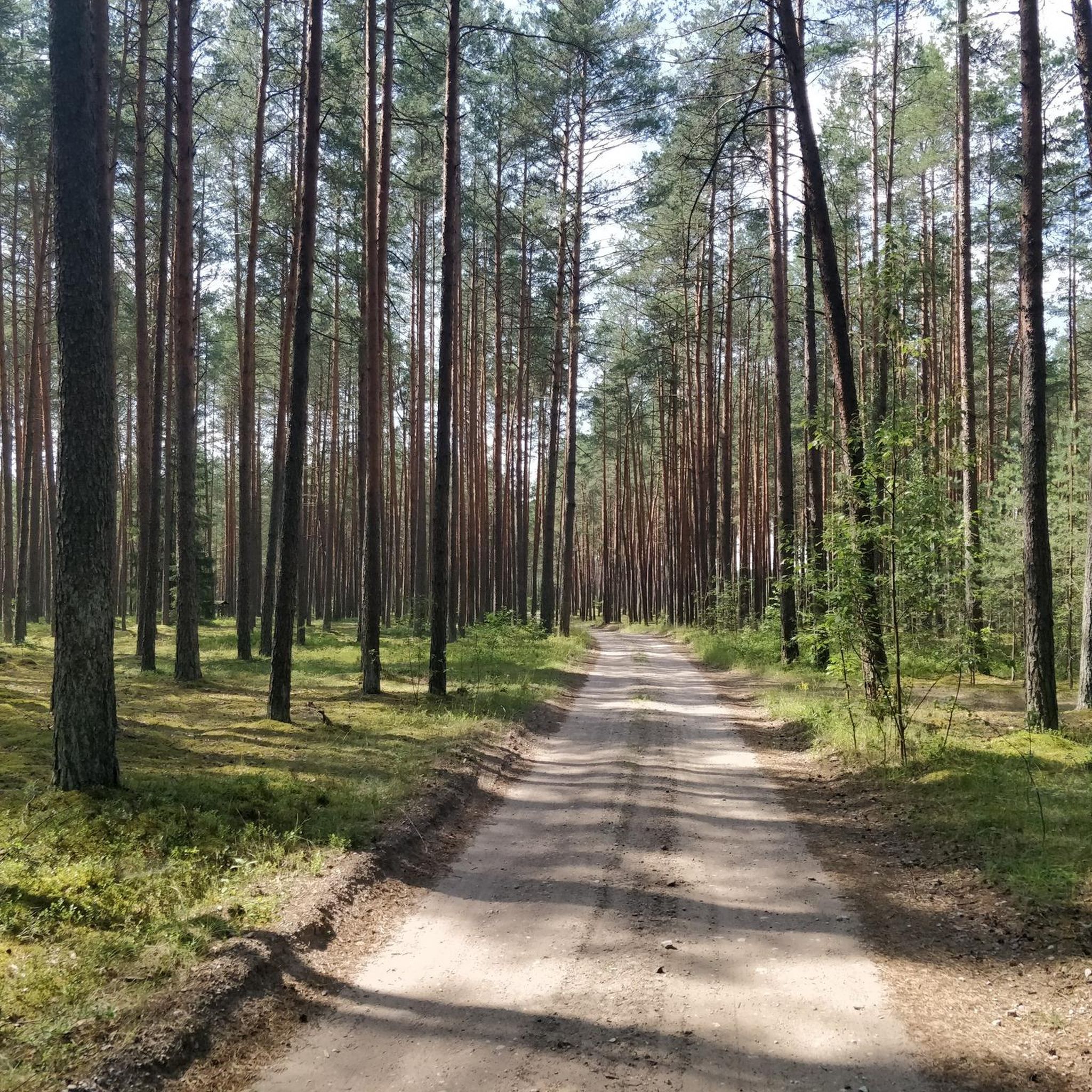
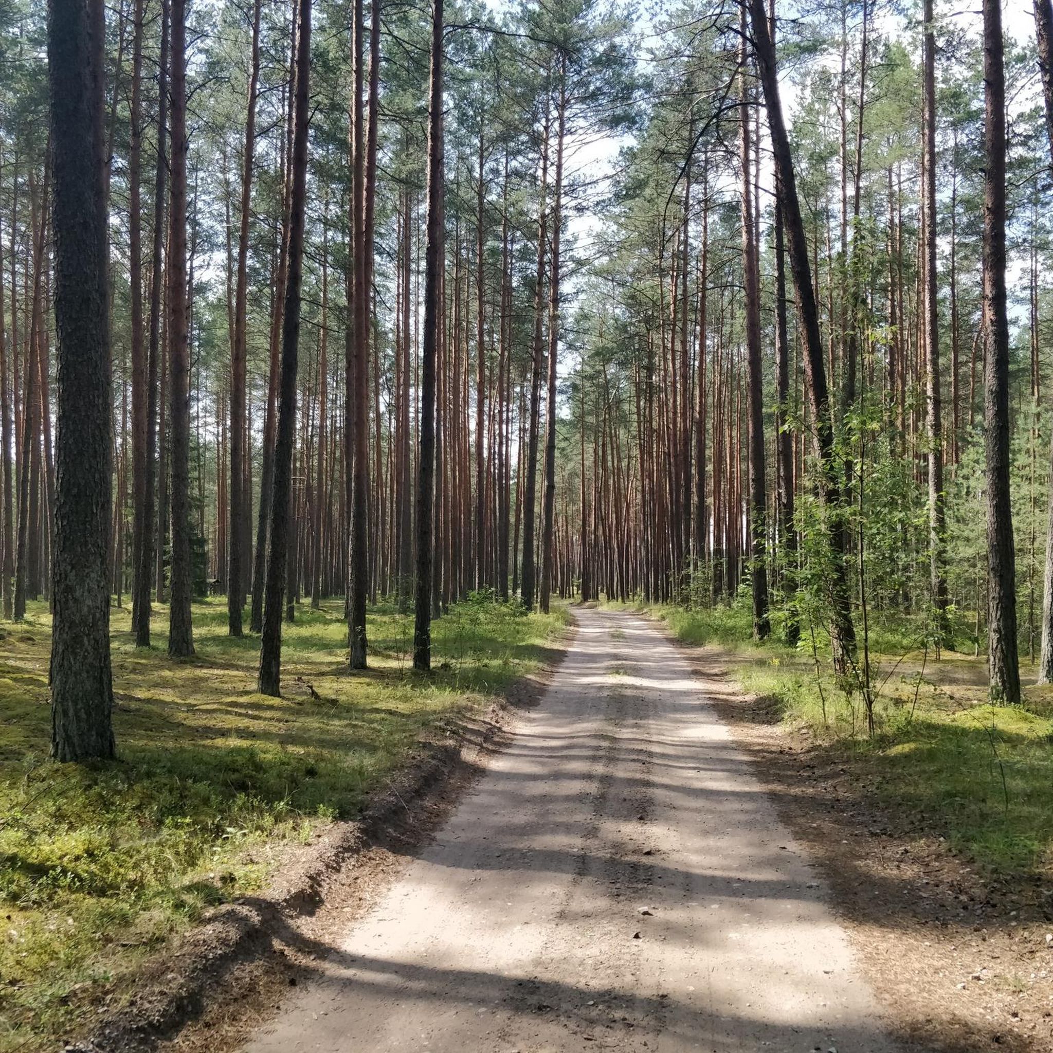
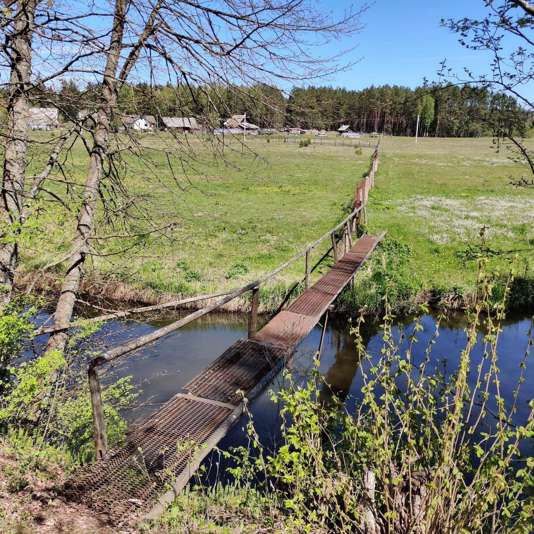
Road cycling in Vilnios Hidrografinis Draustinis offers routes through a diverse natural landscape centered around the moderately winding Vilnia River. The region features a shallow floodplain valley, diverse forestland with spruce, birch, and pine trees, and open forest-edge meadows. Terrain can vary, with some routes including unpaved segments. This hydrographic reserve provides a dynamic environment for road cyclists.
Best road cycling routes in Vilnios Hidrografinis Draustinis
- The most popular road cycling route is Metal Bridge – Road to Tapeliai Lake…
Last updated: July 11, 2026
20
riders
133km
05:43
820m
820m
Hard road ride. Very good fitness required. Some segments of this route may be unpaved and difficult to ride.
17
riders
Moderate road ride. Good fitness required. Some segments of this route may be unpaved and difficult to ride.

Sign up for free
4
riders
28.4km
01:21
280m
280m
Easy road ride. Great for any fitness level. Mostly well-paved surfaces and easy to ride.
3.0
(1)
70
riders
Easy road ride. Great for any fitness level. Mostly well-paved surfaces and easy to ride.
5.0
(1)
77
riders
Moderate road ride. Good fitness required. Mostly well-paved surfaces and easy to ride.
Get access to more routes and recommendations from other explorers.
Sign up for free
Already have an account?
Our route recommendations are based on thousands of hikes, rides, and runs completed by other people on komoot.
Start today with a free account
Your next adventure awaits.
Login or Signup
Popular around Vilnios Hidrografinis Draustinis
Tips from the Community

St. Anna is only original on the outside. Inside, Napoleon destroyed a lot. Nothing is original anymore.
2
0

The Church of Saint Anne is a masterpiece of the late Gothic period. It is surrounded by many legends. The most famous one says that Napoleon Bonaparte, after seeing this beauty, would have liked to carry the Church of Saint Anne on his palm to Paris.
1
0

A must when you are there
0
0

Beautiful Gothic church from 1500. Right next door is the Church of St. Francis of Assisi.
1
0
Vilnius Cathedral was built in 1779.
1
1


The Cathedral Basilica of St Stanislaus and St Ladislaus of Vilnius (EN) Cathedral of Vilnius (IT) Vilnius Archcathedral (LT) La cattedra metropolitana dei Santi Stanislao e Ladislao (in Lithuanian Vilnius St. Stanislaus and St. Vladislaus Archcathedral Basilica) is the principal place of culto cattolico di Vilnius, in Lithuania, and cattedrale dell'archidiocesi di Vilnius. taken from Wikipedia
0
1

The Church of St. Francis of Assisi belongs to the St. Bernard Monastery and impresses with its simple wooden altars.
1
0
Frequently Asked Questions
How many road cycling routes are available in Vilnios Hidrografinis Draustinis?
There are over 10 road cycling routes documented in Vilnios Hidrografinis Draustinis, offering a variety of experiences for different skill levels. These routes are highly rated by the komoot community, with an average score of 4.6 stars from over 15 reviews.
What kind of terrain can I expect when road cycling in Vilnios Hidrografinis Draustinis?
Road cycling in Vilnios Hidrografinis Draustinis features a diverse natural landscape centered around the moderately winding Vilnia River. You'll encounter a shallow floodplain valley, varied forestland with spruce, birch, and pine trees, and open forest-edge meadows. While primarily road cycling, some routes may include unpaved segments, adding to the adventurous feel.
Are there routes suitable for beginners or less experienced road cyclists?
Yes, Vilnios Hidrografinis Draustinis offers several routes suitable for beginners. For example, the Loop – S. Batoro Street Bike Path loop from Elektrinių traukinių depas-2 is an easy 17.5-mile (28.2 km) trail that can be completed in about 1 hour 22 minutes. Another easy option is the Road to Tapeliai Lake – Wooden Bridge Over Stream loop from Bezdoniai Eldership, which covers 47 km with moderate elevation gain.
Are there challenging road cycling routes for experienced riders?
Experienced road cyclists will find challenging options in Vilnios Hidrografinis Draustinis. The Metal Bridge – Road to Tapeliai Lake loop from Mickūnai is a difficult 82.4-mile (132.5 km) trail with significant elevation gain, typically taking over 5 hours to complete. Another moderate yet challenging ride is the Bonobo Outdoor Bouldering Wall loop from Elektrinių traukinių depas-2, which features substantial elevation over 30.4 miles (48.9 km).
What natural features or landmarks can I see along the road cycling routes?
The routes in Vilnios Hidrografinis Draustinis showcase the scenic Vilnia River valley, which forms the core of the reserve. You'll cycle through diverse forestland, including spruce, birch, and pine trees, interspersed with sunny forest-edge meadows. The area also features charming small villages like Pečiulinė, Žagariškės, and Taurija, offering glimpses of local life.
Are there circular road cycling routes in Vilnios Hidrografinis Draustinis?
Yes, many of the road cycling routes in Vilnios Hidrografinis Draustinis are designed as loops, allowing you to start and end at the same point. Examples include the Loop – S. Batoro Street Bike Path loop from Elektrinių traukinių depas-2 and the Bonobo Outdoor Bouldering Wall loop from Naujoji Vilnia, providing convenient options for exploration.
What is the best time of year to go road cycling in Vilnios Hidrografinis Draustinis?
The best time for road cycling in Vilnios Hidrografinis Draustinis is generally from spring through autumn. During these seasons, the weather is more favorable, and the natural landscapes of the Vilnia River valley, forests, and meadows are at their most vibrant. Summer offers lush greenery, while spring and autumn provide pleasant temperatures and beautiful foliage.
Is parking available for road cyclists in Vilnios Hidrografinis Draustinis?
While specific parking areas are not detailed for every route, as a popular outdoor destination, you can typically find parking options near the starting points of many routes, especially in or near the small villages and access points to the reserve. It's advisable to check local maps or route descriptions for designated parking spots.
Can I reach the road cycling routes by public transport?
Access to Vilnios Hidrografinis Draustinis by public transport may vary depending on your starting location and the specific route. Some routes, like those starting from Elektrinių traukinių depas-2, might be more accessible via local public transport networks. It's recommended to research local bus or train schedules to nearby towns or villages that border the reserve.
Are the road cycling routes in Vilnios Hidrografinis Draustinis family-friendly?
Many of the easier and moderate routes in Vilnios Hidrografinis Draustinis can be suitable for families, especially those with some cycling experience. The diverse and scenic environment, with its forests and meadows, offers an enjoyable backdrop for family outings. Always check the route's distance and elevation profile to ensure it matches your family's abilities.
What do other road cyclists enjoy most about road cycling in Vilnios Hidrografinis Draustinis?
The komoot community highly rates road cycling in Vilnios Hidrografinis Draustinis, with an average score of 4.6 stars. Reviewers often praise the diverse natural landscape, the scenic Vilnia River valley, and the variety of routes that cater to different skill levels. The mix of forest paths and open meadows provides a dynamic and engaging cycling experience.
Most popular routes in Vilnios Hidrografinis Draustinis

Get inspired with the komoot mobile app


Explore more
Browse the best Road cycling routes in other regions.
