The best MTB trails in Bråvikenbranten
5.0
(1)
24
riders
3
rides
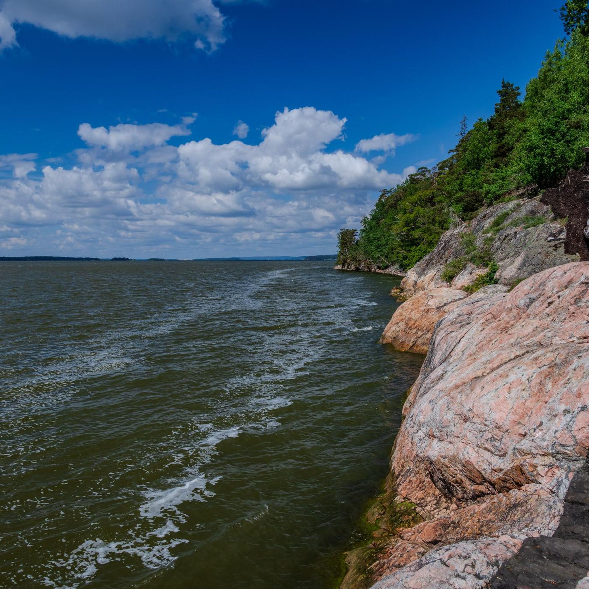
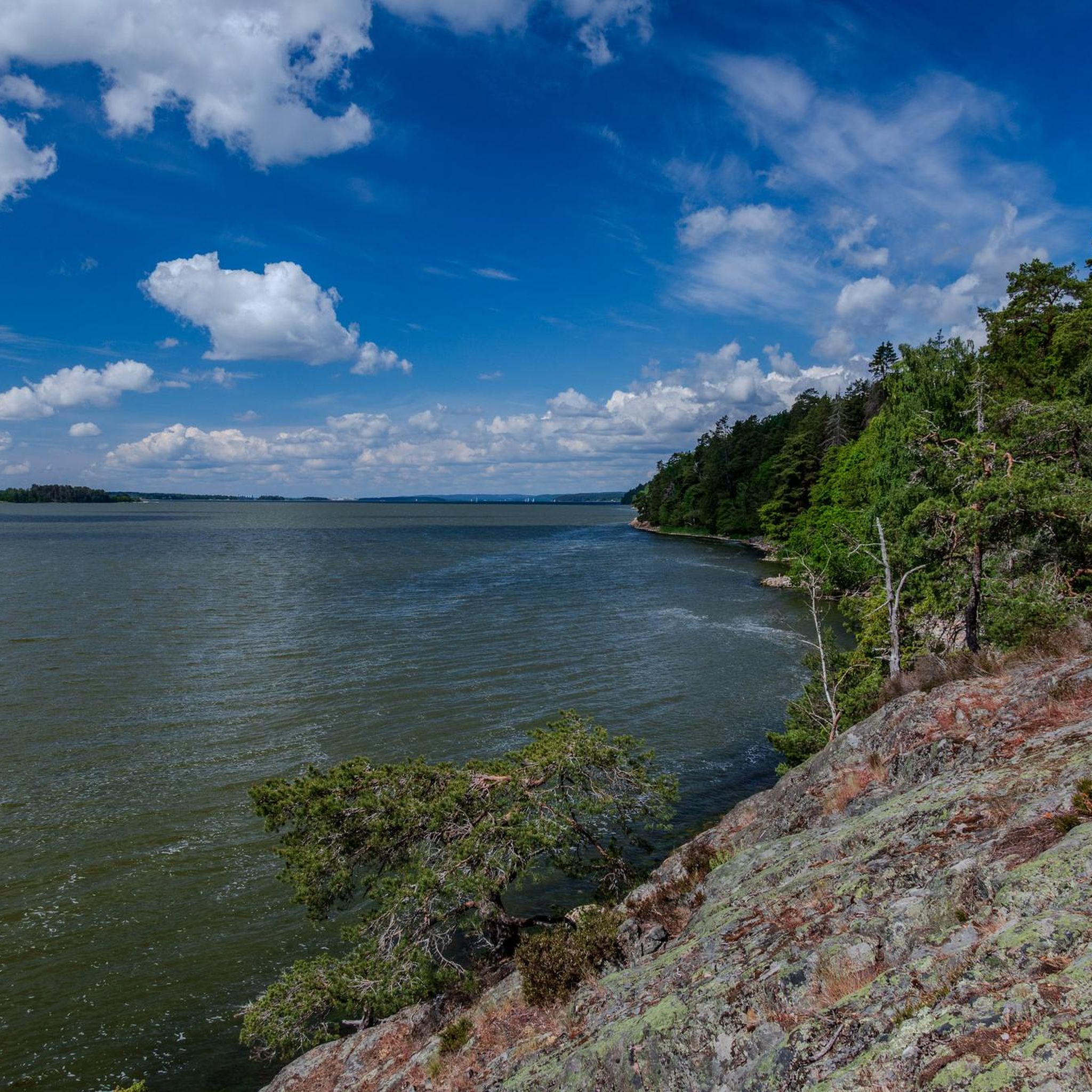
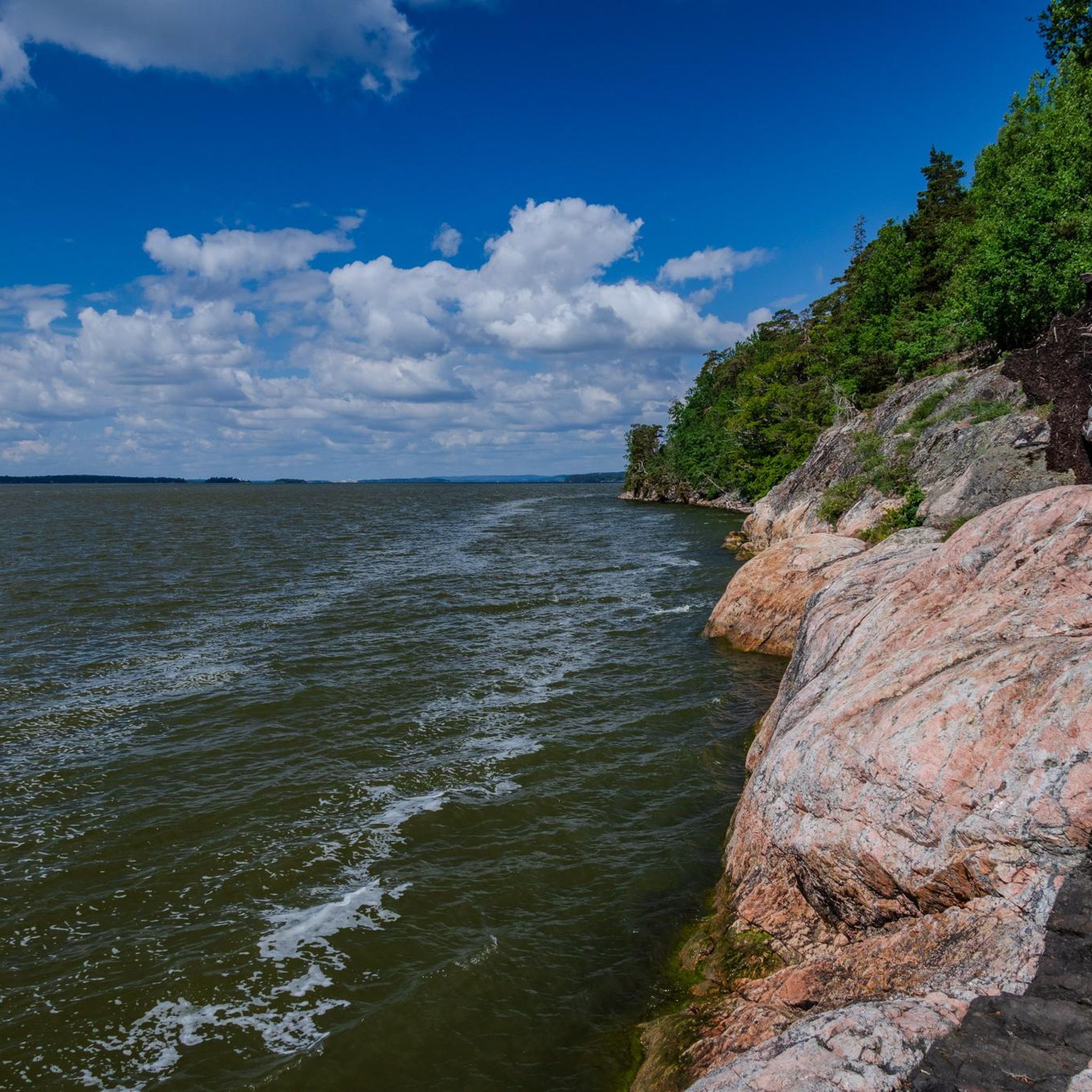
Mountain bike trails in Bråvikenbranten traverse a diverse and dramatic natural landscape. The region is characterized by a mighty fault scarp offering views over Bråviken, featuring rough pines and lush stream valleys. Mountain bikers encounter a blend of rocky hillsides, dense woodlands, and open fields. This varied terrain provides conditions suitable for different skill levels.
Best mountain bike trails in Bråvikenbranten
- The most popular mountain bike trail is Scenic Forest Trail loop from Krokek, a 3.8 miles (6.0 km)…
Last updated: October 15, 2026
3
riders
26.4km
02:32
200m
200m
Hard mountain bike ride. Good fitness required. Advanced riding skills necessary. Some portions of the route may require you to push your bike.
5
riders
Hard mountain bike ride. Good fitness required. Advanced riding skills necessary. Some portions of the route may require you to push your bike.

9
riders
16.9km
01:48
90m
90m
Hard mountain bike ride. Great for any fitness level. Advanced riding skills necessary. Some portions of the route may require you to push your bike.
5.0
(1)
7
riders
6.04km
00:31
90m
90m
Moderate mountain bike ride. Great for any fitness level. Advanced riding skills necessary.
Our route recommendations are based on thousands of hikes, rides, and runs completed by other people on komoot.
Start today with a free account
Your next adventure awaits.
Popular around Bråvikenbranten
Tips from the Community

We came here with our bikes because we thought the path through the forest would be rideable, but that was a misjudgment. The location of the shelter is great, but the access is absolutely not suitable for bikes.
0
0

The well-known hiking trail passes here.
0
0

Follow the orange signs, it is 200 meter away from the viewpoint “Spiran”. Very nice shelter with a nice view and fireplace. No toilet.
0
0
Just wondering where it may have been? Luckily there is geotagging! There are probably a lot of paths here that are suitable for cycling
0
0
Frequently Asked Questions
How many mountain bike trails are available in Bråvikenbranten?
There are several mountain bike trails in Bråvikenbranten. This guide features 4 highly-rated routes, offering a range of experiences from moderate to difficult.
What kind of terrain can I expect on the mountain bike trails in Bråvikenbranten?
The terrain in Bråvikenbranten is diverse, characterized by a mighty fault scarp with magnificent views. You'll encounter a blend of rocky hillsides, dense woodlands, and open fields. Trails can range from smooth forest paths to rugged tracks with steep inclines, offering varied conditions for different skill levels.
Are there mountain bike trails suitable for beginners or families in Bråvikenbranten?
While many trails offer challenging conditions, there is a moderate option suitable for those looking for a less strenuous ride. The Scenic Forest Trail loop from Krokek is a 6.0 km route that winds through dense woodlands with varied, but manageable, conditions.
When is the best time of year to go mountain biking in Bråvikenbranten?
The best seasons for mountain biking in Bråvikenbranten are typically spring (April-June) and autumn (September-November). During these times, temperatures are mild, rainfall is generally lower, and the natural scenery is vibrant with blooming wildflowers or colorful fall foliage.
What natural features or viewpoints can I discover along the mountain bike trails?
The region is known for its dramatic fault scarp, offering magnificent views over Bråviken and the Vikbolandet region. You'll also find lush stream valleys, sometimes with small waterfalls in spring, and fragrant cliff meadows. The Skvättsjön – Hagberget loop from Bråviken, for example, features challenging rocky hillsides and offers expansive views over the landscape.
Are there any challenging mountain bike routes for experienced riders?
Yes, Bråvikenbranten offers several challenging routes. The Skvättsjön – Hagberget loop from Bråviken is a difficult 26.4 km path featuring challenging rocky hillsides. Another demanding option is the Marmorbruket Museum – Spiran Shelter with Lake View loop from Krokeks kyrka, a 25.9 km trail through varied terrain.
Are the mountain bike trails in Bråvikenbranten typically circular routes?
Yes, many of the mountain bike trails in Bråvikenbranten are designed as loops, allowing you to start and finish at the same point. Examples include the Scenic Forest Trail loop from Krokek and the Dammkärret – Skiren loop from Stavsjö.
What attractions or points of interest are near the mountain bike trails?
The area offers several attractions. The Marmorbruket Museum is a notable point of interest, and the Lilla Göljan lake in Fjällmossen nature reserve provides shelters and picnic areas. Other historical and natural sites include Rövargrottan (Robbers Cave) and Kopparbogrottorna, which offer adventurous exploration opportunities.
What makes Bråvikenbranten unique for mountain biking?
Bråvikenbranten's unique appeal for mountain biking stems from its dramatic natural landscape, featuring a mighty fault scarp with stunning views over Bråviken. The combination of rocky hillsides, dense woodlands, and open fields, alongside a rich biodiversity and mild climate, creates a varied and scenic riding experience.
Are there any facilities like shelters or picnic spots along the trails?
Yes, the Lilla Göljan lake in Fjällmossen nature reserve provides shelters, a fireplace, picnic tables, and a drinking water source, making it suitable for resting. Additionally, Skyttholmens Brygga features a shelter beautifully situated by Bråviken's shore.
What is the average elevation gain on the mountain bike trails in Bråvikenbranten?
The elevation gain varies significantly depending on the trail's difficulty. For instance, the moderate Scenic Forest Trail loop from Krokek has an elevation gain of about 85 meters, while the difficult Marmorbruket Museum – Spiran Shelter with Lake View loop from Krokeks kyrka features an elevation gain of approximately 277 meters.

Get inspired with the komoot mobile app


Explore more
Browse the best MTB trails in other regions.
