The best walks and hikes in Bråvikenbranten
4.5
(78)
391
hikers
18
hikes
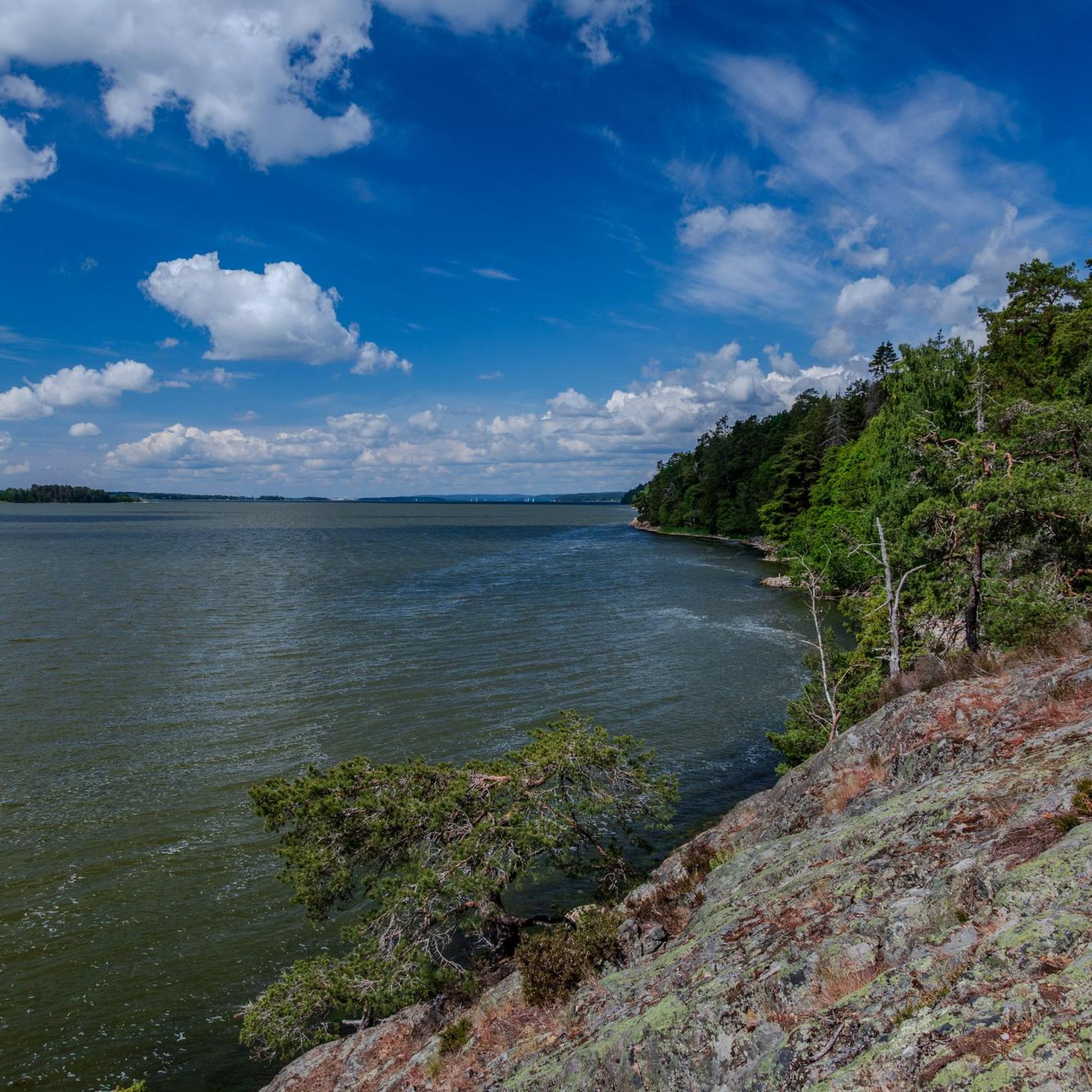
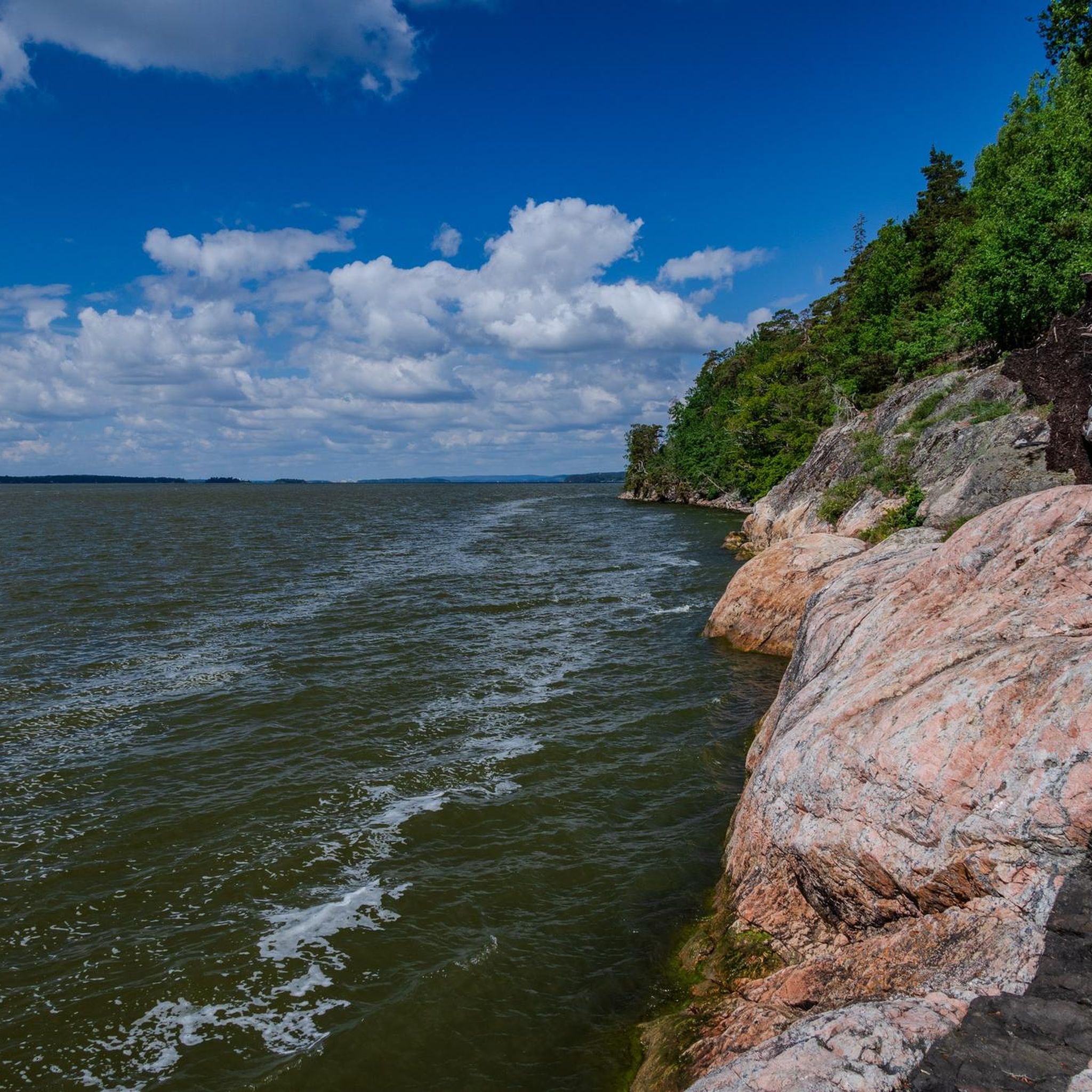
Hiking in Bråvikenbranten is characterized by its impressive fault scarp, offering expansive views over Bråviken and Vikbolandet. The region features ancient, old-growth forests with robust pines, lush stream valleys, and rocky meadows. South-facing cliffs and the sea's influence create a unique microclimate, supporting diverse plant life. This varied terrain provides a compelling environment for outdoor activities.
Best hiking trails in Bråvikenbranten
- The most popular hiking route is Rövargrottan (Robbers Cave) – Skyttholmens Brygga shelter loop from Kvarsebo kyrka, a…
Last updated: October 10, 2026
1.0
(1)
10
hikers
8.64km
02:24
160m
160m
Moderate hike. Good fitness required. Easily-accessible paths. Suitable for all skill levels.
4.0
(3)
10
hikers
13.4km
03:36
170m
160m
Moderate hike. Good fitness required. Mostly accessible paths. Sure-footedness required.

3
hikers
7.65km
02:06
130m
130m
Moderate hike. Good fitness required. Easily-accessible paths. Suitable for all skill levels.
4.5
(4)
25
hikers
7.45km
02:04
140m
140m
Hike the Marmorbruksleden, a moderate 4.6-mile (7.4 km) trail with 460 feet (140 metres) of elevation gain, offering diverse scenery and lak
15
hikers
Easy hike. Great for any fitness level. Easily-accessible paths. Suitable for all skill levels.
Get access to more routes and recommendations from other explorers.
Already have an account?
Our route recommendations are based on thousands of hikes, rides, and runs completed by other people on komoot.
Start today with a free account
Your next adventure awaits.
Popular around Bråvikenbranten
Tips from the Community

Great view of the Vikbolandet strait with the ferry connection
1
0

We came here with our bikes because we thought the path through the forest would be rideable, but that was a misjudgment. The location of the shelter is great, but the access is absolutely not suitable for bikes.
0
0

There is a small shelter here with several firepits, picnic tables, a privy/outhouse and a well stocked supply of firewood. The shelter is located at an elevated spot on the cliffs with a nice view. Going back down the path takes you down to the water level and another fireplace and picnic table. This also serves as a parking spot for visitors by car.
0
0
There is a bench here right at the edge of the cliffs, overlooking th ebay in several directions.
1
0
Great view from the top of the cliffs overlooking Bråviken bay.
0
0
A hole in the ground with a rope attached if you dare climb into it. There is a story posted next to the hole about the robber who used the hole to keep his captive emprisoned back in the day.
0
0

Beautifully designed entrance portal with reference to the main attractions
0
0

Here you can learn everything about the quarrying and processing of marble.
0
0
Frequently Asked Questions
How many hiking trails are available in Bråvikenbranten?
Bråvikenbranten offers a diverse selection of over 15 hiking trails. These routes cater to various preferences, ranging from easy strolls to more challenging excursions through the region's unique landscape.
What makes hiking in Bråvikenbranten unique?
Hiking in Bråvikenbranten is defined by its impressive fault scarp, which provides magnificent vistas over Bråviken and Vikbolandet. The area features ancient, old-growth-like forests, lush stream valleys with occasional waterfalls, and rocky meadows. A unique microclimate, influenced by south-facing cliffs and the sea, supports a rich biodiversity, including rare plants and insects.
What is the best time of year to go hiking in Bråvikenbranten?
Thanks to its unique microclimate, Bråvikenbranten experiences milder winters and an extended growing season, making it suitable for hiking for much of the year. Spring and summer are ideal for enjoying the fragrant plants and butterflies in the rocky meadows, while autumn offers beautiful foliage. Even winter can be pleasant due to the moderated temperatures.
Are there easy hiking options suitable for beginners in Bråvikenbranten?
Yes, Bråvikenbranten has several easy hiking options. Approximately half of the trails are rated as easy, making them perfect for beginners or those looking for a leisurely walk. An example of an easy route is the loop trail from Kvarsebo kyrka leading to Kvarseboklint, which offers accessible paths.
Can I find challenging hikes in Bråvikenbranten?
While many trails are moderate or easy, there is at least one route classified as difficult for those seeking a more strenuous experience. These trails often involve greater elevation changes and longer distances, providing a good challenge for experienced hikers.
Are there any circular hiking routes in Bråvikenbranten?
Yes, many of the trails in Bråvikenbranten are designed as circular routes, allowing you to start and end at the same point. For example, the Rövargrottan (Robbers Cave) – Skyttholmens Brygga shelter loop from Kvarsebo kyrka is a popular circular trail that explores historical sites.
What kind of natural features or landmarks can I expect to see while hiking?
Hikers can explore a variety of natural features and landmarks. You might encounter the historical Rövargrottan (Robbers Cave), the Marble Mill Trail, or the Kopparbogrottorna (Copperbo Caves) near Kopparbo. The Fjällmossen Nature Reserve features Lilla Göljan lake with amenities for breaks, and you'll often find ancient forests, rocky meadows, and stream valleys with small waterfalls.
Are there any trails that offer panoramic views?
Absolutely. Bråvikenbranten is renowned for its breathtaking views. Trails like the View of the Baltic Sea – View of the Archipelago loop from Hyttan offer expansive vistas of the Baltic Sea and the surrounding archipelago. The fault scarp itself provides numerous points with magnificent outlooks.
Are the hiking trails in Bråvikenbranten suitable for families with children?
Many trails in Bråvikenbranten are suitable for families, especially the easier and moderate loops. The diverse landscape, including caves like Rövargrottan and the natural features of Fjällmossen Nature Reserve, can make for an engaging adventure for children. Always check the specific trail's length and difficulty to ensure it matches your family's capabilities.
What do other hikers enjoy the most about hiking in Bråvikenbranten?
The area is highly rated by the komoot community, with an average score of 4.8 stars from over 60 reviews. Hikers frequently praise the dramatic fault scarp views, the ancient and diverse forests, and the well-maintained coastal paths overlooking the Baltic Sea. The unique microclimate and rich biodiversity are also often highlighted as key attractions.
Are there any specific geological features to look out for?
Bråvikenbranten is defined by its impressive fault scarp, a significant geological feature offering dramatic elevation changes and views. The presence of limestone in the soil also contributes to the area's ecological richness, supporting unique plant life in the rocky meadows and crack valleys.
Can I find trails near the Kolmården Zoo?
Yes, there are hiking opportunities near Kolmården Zoo. For instance, the Kolmården Zoo Entrance – View of the Archipelago loop from Hyttan is a moderate trail that leads through varied terrain in the vicinity of the zoo, often completed in about two hours.
Are there facilities like shelters or picnic areas along the trails?
Yes, some areas are equipped with facilities for hikers. The Fjällmossen Nature Reserve, for example, features Lilla Göljan lake with interconnected shelters, a fireplace, picnic tables, an outhouse, a drinking water source, and readily available firewood, making it an ideal spot for breaks or even overnight stays.

Get inspired with the komoot mobile app


Explore more
Browse the best Hikes in other regions.
