The best walks and hikes in Romeriksåsene
4.5
(195)
2,232
hikers
186
hikes
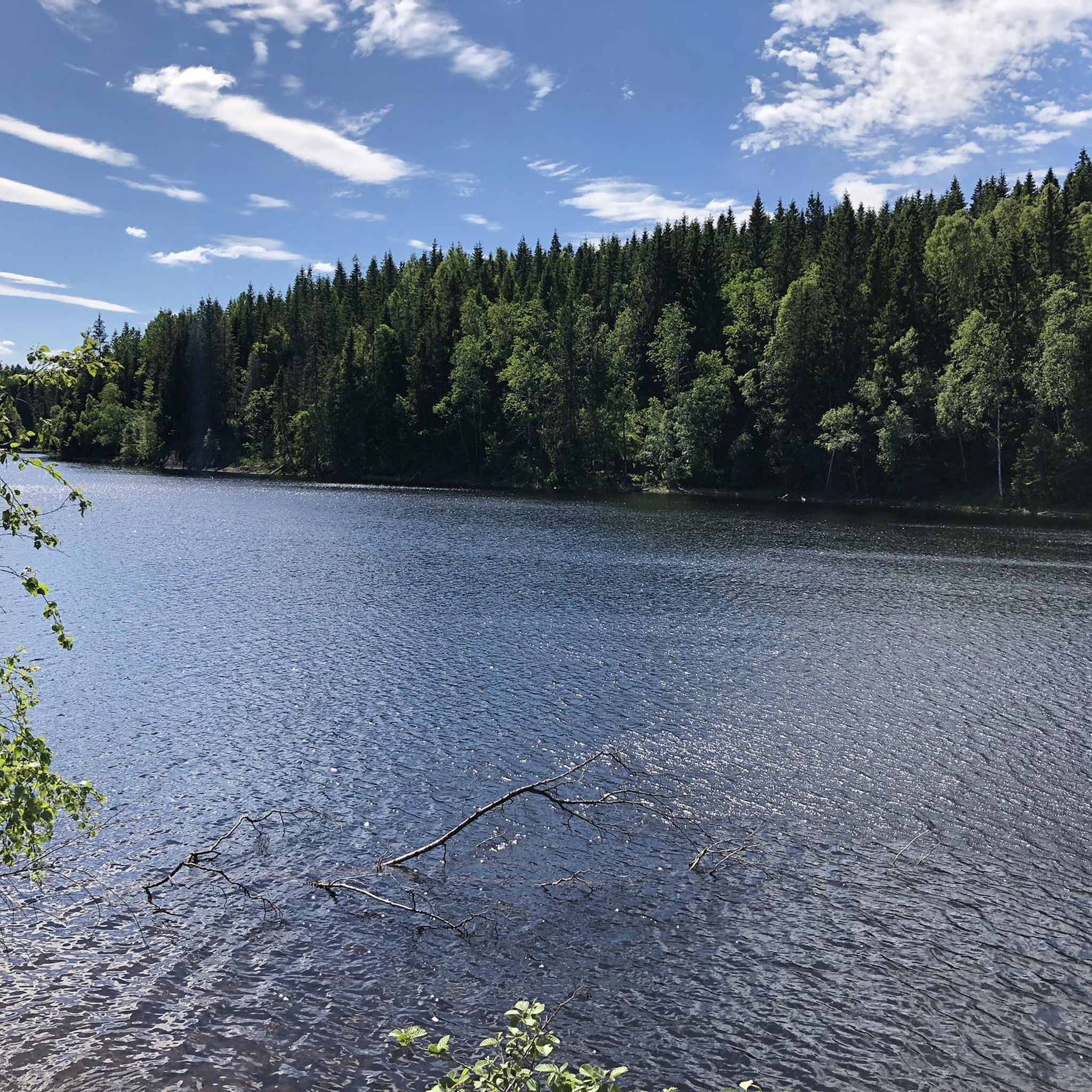
Hiking in Romeriksåsene offers an expansive natural landscape characterized by diverse terrain. The region features a network of trails traversing pine forests, soft marshlands, and dry ridges. Notable natural features include numerous lakes and Paradiskollen, the highest point at 670 meters above sea level, providing panoramic views.
Best hiking trails in Romeriksåsene
- The most popular hiking route is Tour Tærud-Ringdalskoia-Ulvedalen-Tærud, a 6.0 miles (9.6 km) trail that takes about 2 hours 35 minutes to complete. This moderate route leads…
Last updated: October 7, 2026
4.5
(2)
38
hikers
9.58km
02:34
110m
110m
Moderate hike. Good fitness required. Easily-accessible paths. Suitable for all skill levels.
4
hikers
13.2km
03:46
340m
190m
Moderate hike. Good fitness required. Mostly accessible paths. Sure-footedness required.

2
hikers
13.5km
03:39
180m
180m
Moderate hike. Good fitness required. Easily-accessible paths. Suitable for all skill levels.
5.0
(1)
29
hikers
5.88km
01:37
100m
100m
Easy hike. Great for any fitness level. Easily-accessible paths. Suitable for all skill levels.
5.0
(1)
16
hikers
6.08km
02:11
380m
380m
Moderate hike. Good fitness required. Easily-accessible paths. Suitable for all skill levels.
Get access to more routes and recommendations from other explorers.
Already have an account?
Our route recommendations are based on thousands of hikes, rides, and runs completed by other people on komoot.
Start today with a free account
Your next adventure awaits.
Tips from the Community

Øyungshytta is a modern, self-service mountain cabin managed by The Norwegian Trekking Association, or Den Norske Turistforening (DNT). It was opened in 2018, and sits at 900 metres above sea level on Hedmarksvidda. Right next door is the Hemmeldalen Nature Reserve. It is set in a truly beautiful setting.
0
0
The Rondane Trail stretches 460 kilometres from Bjørvika in Oslo to Hjerkinn on Dovrefjell. It offers a superlative long-distance hike through high alpine hills flanked by forested hills and lush green valleys of the Rondane National Park. If you complete the entire hike, you can be awarded the Rondane Badge.
0
0

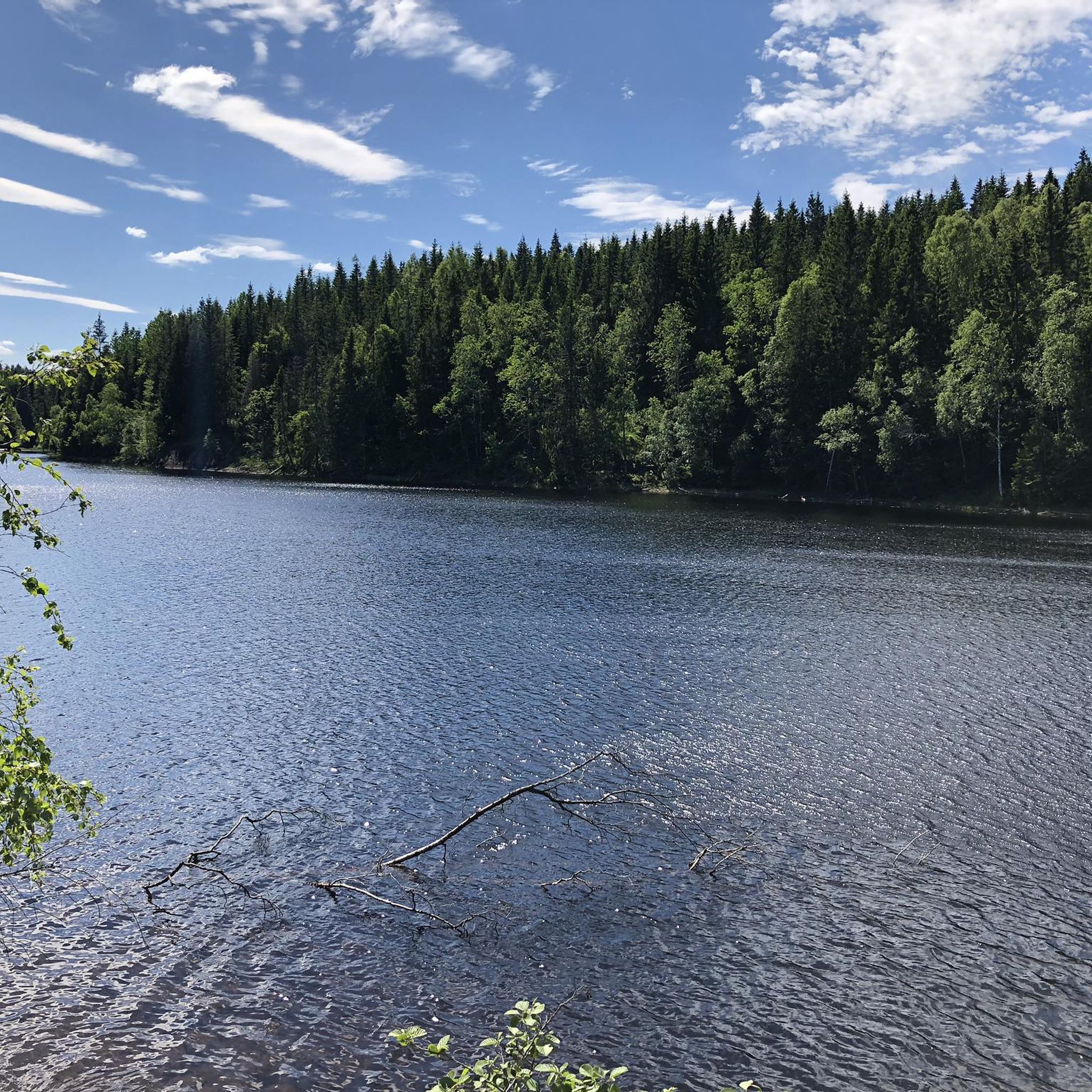
A gravel path runs close to the western shore of Lake Bjertnessjoen. This offers beautiful views across the water while hiking or biking.
0
0
The history of this large estate dates back about 300 years. In the past, “Raasjøskog” was royal common land and an independent, small municipality that relied primarily on forestry for its livelihood. Until 1947, the tree trunks were processed into lumber. Today, the estate is used as a lodging facility.
0
0

This peaceful woodland rest area features a simple shelter, a fire ring, and informative signs about local wildlife, including roe deer, common in this part of Norway. Kids and nature lovers will enjoy learning about how these shy animals live and survive through the harsh Nordic winters. A great stop for both a break and a bit of forest education.
0
0
A charming self-service cabin tucked into the forest, perfect for a peaceful break or overnight stay. Located at a trail crossroads, it's a popular rest stop for hikers and skiers alike. Picnic tables, route signs, and a rustic vibe make it a cozy waypoint deep in the woods.
0
0
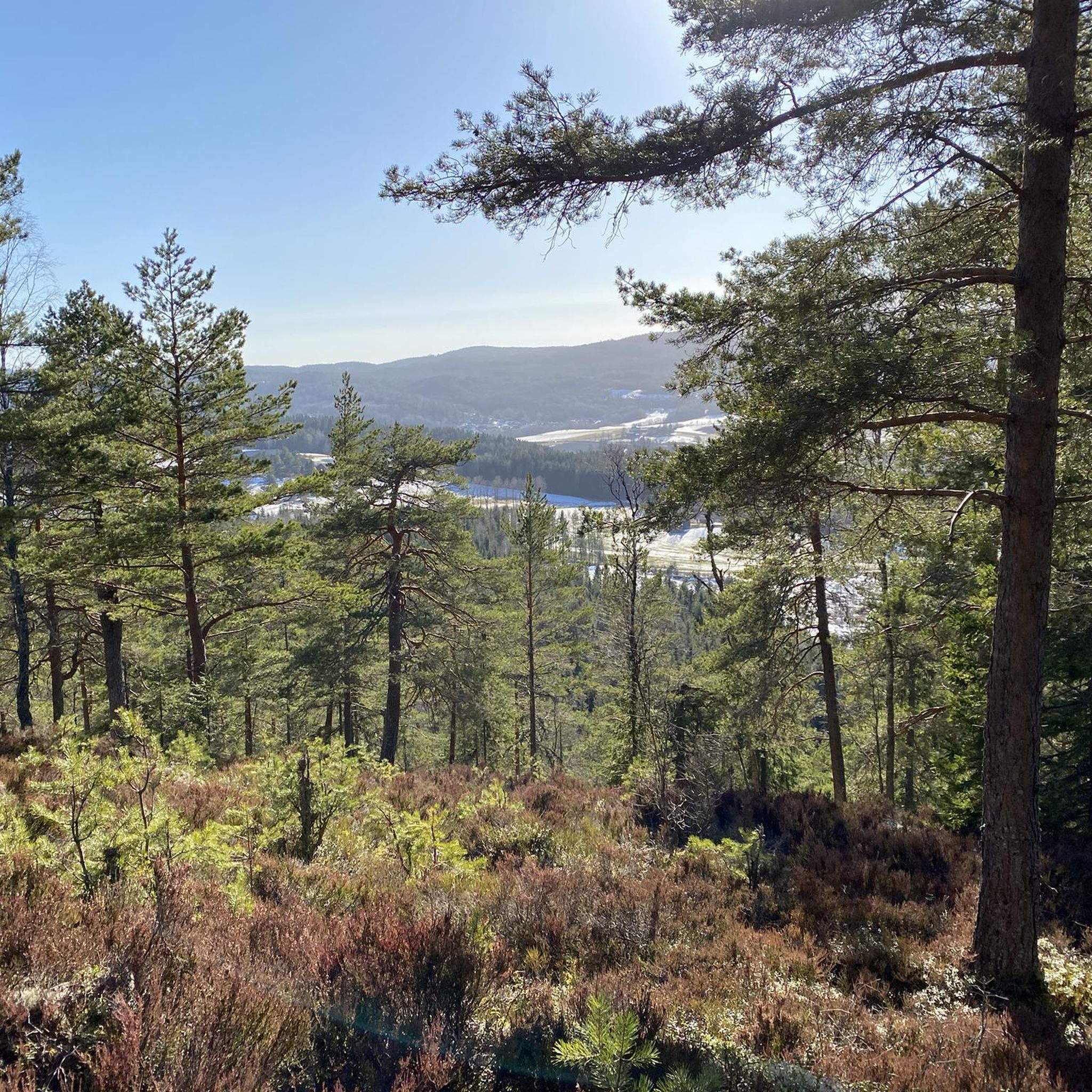
A fun and varied trail through pine forest and soft marshland, with narrow boardwalks winding over the boggiest sections. Expect dry ridges, muddy stretches, and that classic Norwegian feeling of being deep in the wild.
1
0
Frequently Asked Questions
How many hiking trails are available in Romeriksåsene?
Romeriksåsene offers an extensive network of over 180 hiking trails. These routes cater to various skill levels, including 70 easy, 108 moderate, and 6 difficult options, ensuring there's a suitable path for every hiker.
What kind of terrain can I expect when hiking in Romeriksåsene?
You can expect a diverse natural landscape in Romeriksåsene. Trails traverse pine forests, soft marshlands (sometimes with narrow boardwalks), and dry ridges. The region is also characterized by numerous lakes and varying elevations.
What do other hikers say about Romeriksåsene?
The komoot community highly rates Romeriksåsene, with an average score of 4.6 stars from over 140 reviews. Hikers often praise the varied terrain, the opportunity for immersion in nature, and the well-maintained trails.
Are there easy hiking trails suitable for beginners in Romeriksåsene?
Yes, Romeriksåsene has 70 easy hiking routes perfect for beginners or those looking for a relaxed stroll. An example is the Geitåsen loop from Kroken, an easy 3.7-mile path offering views of the surrounding landscape.
Can I find circular hiking routes in Romeriksåsene?
Yes, Romeriksåsene features several excellent circular hiking routes. Popular options include the Tour Tærud-Ringdalskoia-Ulvedalen-Tærud, the Geitåsen loop from Kroken, and the Hiking loop from Nittedal Jordstasjon.
Are there any notable viewpoints or landmarks in Romeriksåsene?
Absolutely. One of the main attractions is Paradiskollen, the highest point at 670 meters above sea level, offering fantastic panoramic views. Other trails, like the one to Festvågtinden Peak, also provide breathtaking vistas.
Are there lakes or water features to see along the trails?
Romeriksåsene is home to numerous lakes. Råbjørn lake is notable for the Råbjørnhytta cabin directly on its shores, providing a pleasant resting spot. Store Skillingen sør is another significant lake, accessible via hiking trails from Harestua station.
Are there cabins available for overnight stays or breaks?
Yes, Romeriksåsene features several unstaffed DNT (Norwegian Trekking Association) cabins, such as Ringdalshytta. These cabins are strategically located along trails, making the area well-suited for multi-day hut-to-hut hiking adventures or comfortable breaks.
Is Romeriksåsene suitable for family hikes?
Romeriksåsene is very suitable for families, offering a variety of easy trails and opportunities for wildlife observation. The Tæruddalen Forest Shelter and Educational Rest Area, for instance, provides informative signs that engage children and nature lovers alike.
Are dogs allowed on the hiking trails in Romeriksåsene?
Generally, dogs are welcome on hiking trails in Romeriksåsene. However, it's important to keep them on a leash, especially during nesting seasons for birds and when near livestock, to protect wildlife and ensure a pleasant experience for all hikers.
How can I get to the hiking areas in Romeriksåsene by public transport?
Public transport options are available to reach various trailheads in Romeriksåsene. For example, Store Skillingen sør is accessible via hiking trails from Harestua station. It's advisable to check local bus and train schedules for specific trailhead access points like Tærud, Kroken, Nittedal Jordstasjon, and Fiskeløysa.
Where can I park my car when hiking in Romeriksåsene?
Designated parking areas are available at several trailheads throughout Romeriksåsene. Popular starting points like Tærud, Kroken, Nittedal Jordstasjon, Harestua, and Fiskeløysa typically offer parking facilities. Look for marked parking lots at the beginning of trails.
What is the best time of year to go hiking in Romeriksåsene?
The best time for hiking in Romeriksåsene is typically from spring through autumn, when the trails are clear of snow and the weather is mild. Summer offers lush greenery, while autumn brings vibrant fall colors. Winter hiking is also possible, often requiring snowshoes or skis.
Most popular routes in Romeriksåsene
Most popular attractions in Romeriksåsene

Get inspired with the komoot mobile app


Explore more
Browse the best Hikes in other regions.
