The best road cycling routes in Mellomkollen Naturreservat
3.5
(2)
170
riders
6
rides
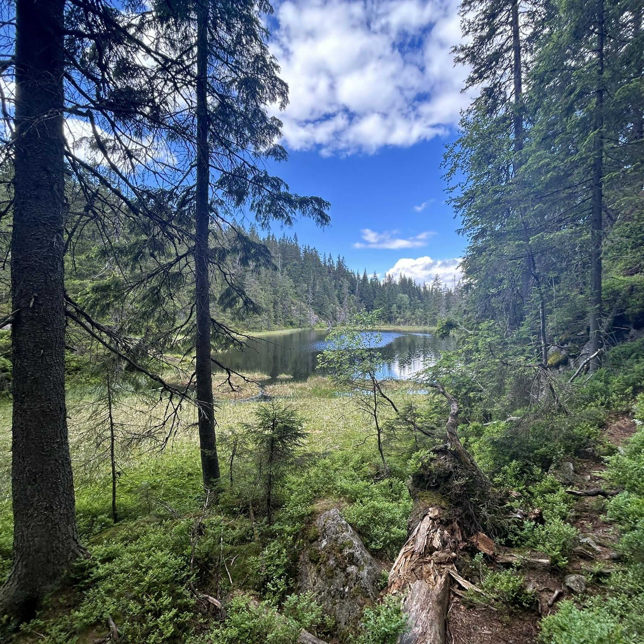
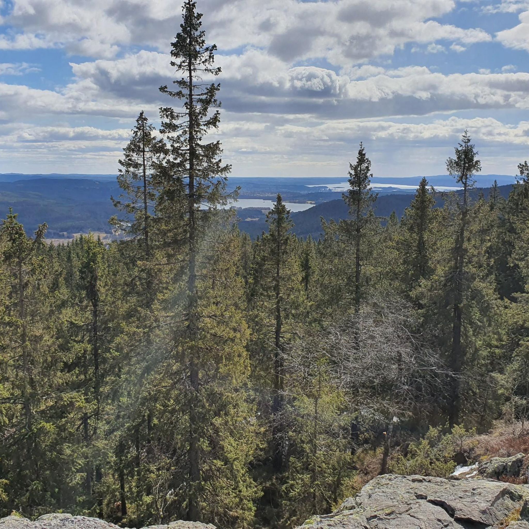
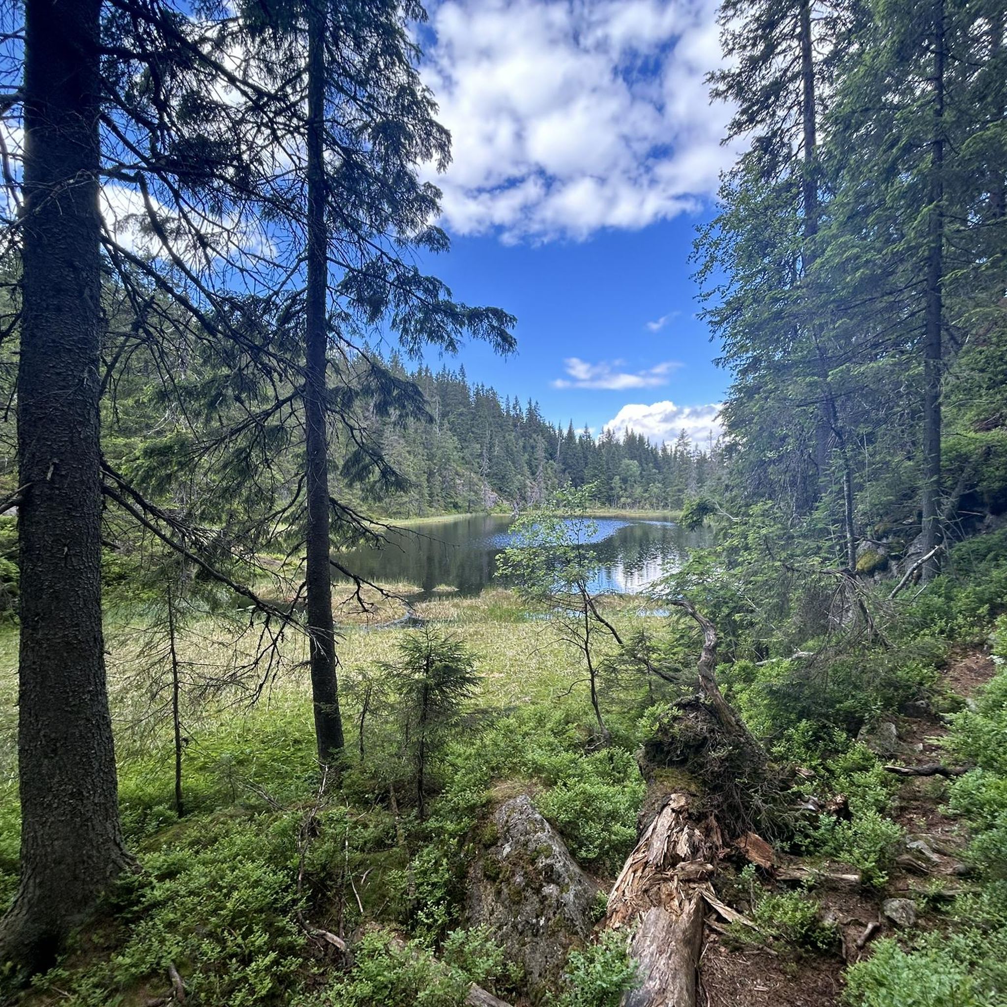
Road cycling routes in Mellomkollen Naturreservat offer varied terrain within a natural park setting near Oslo. The region features rolling hills and forested landscapes, providing a mix of gradients suitable for road cyclists. Roads often wind through river valleys and past natural features, with elevations generally under 600 meters.
Best road cycling routes in Mellomkollen Naturreservat
- The most popular road cycling route is Hakadal Verk Hydropower Dam – Scenic Country Road loop from Åneby, a 27.3 miles (43.9 km)…
Last updated: July 5, 2026
3.5
(2)
64
riders
43.9km
02:06
510m
510m
Moderate road ride. Good fitness required. Mostly well-paved surfaces and easy to ride.
20
riders
25.7km
01:14
290m
290m
Easy road ride. Great for any fitness level. Mostly well-paved surfaces and easy to ride.

Sign up for free
15
riders
20.8km
00:59
200m
200m
Easy road ride. Great for any fitness level. Mostly well-paved surfaces and easy to ride.
12
riders
23.3km
01:07
200m
200m
Easy road ride. Great for any fitness level. Mostly well-paved surfaces and easy to ride.
9
riders
35.0km
01:34
340m
340m
Moderate road ride. Good fitness required. Mostly well-paved surfaces and easy to ride.
Our route recommendations are based on thousands of hikes, rides, and runs completed by other people on komoot.
Start today with a free account
Your next adventure awaits.
Login or Signup
Frequently Asked Questions
How many road cycling routes are available in Mellomkollen Naturreservat?
There are 6 road cycling routes in Mellomkollen Naturreservat, offering a variety of experiences for cyclists. These routes cater to different skill levels, from easy to moderate.
Are there easy road cycling routes suitable for beginners or families?
Yes, Mellomkollen Naturreservat offers several easy road cycling routes. For instance, the Hakadal Verk Hydropower Dam loop from Nittedal is an easy 25.7 km path, and the Hakadalselva loop from Hakadal is another accessible option at 23.3 km.
What is the longest road cycling route in Mellomkollen Naturreservat?
The longest road cycling route in the area is the Hakadal Verk Hydropower Dam – Scenic Country Road loop from Åneby, which spans 43.9 km and is classified as moderate difficulty.
Are there any challenging road cycling routes for experienced cyclists?
While there are no routes classified as 'difficult' in this guide, experienced cyclists will find moderate challenges. The Hakadal Verk Hydropower Dam – Scenic Country Road loop from Åneby (43.9 km with 513m elevation gain) and the Scenic Country Road – Lovers' Bridge loop from Haugeråsen (35.0 km with 339m elevation gain) offer more significant climbs and distances.
What is the best time of year for road biking in Mellomkollen Naturreservat?
The best time for road biking in Mellomkollen Naturreservat is typically from late spring to early autumn (May to September). During these months, the weather is generally milder, and the roads are clear of snow and ice, offering pleasant conditions for cycling through the forested landscapes.
Are there circular road bike routes available?
Yes, all the routes listed in this guide are circular, allowing you to start and end at the same point. Examples include the Hakadal Verk Hydropower Dam loop from Varingskollen and the Hakadal Verk Hydropower Dam loop from Nittedal.
What kind of terrain can I expect on the road cycling routes?
The road cycling routes in Mellomkollen Naturreservat feature varied terrain, including rolling hills and forested landscapes. You'll often find roads winding through river valleys and past natural features, with elevations generally under 600 meters, providing a mix of gradients.
What do other road cyclists enjoy most about road cycling in Mellomkollen Naturreservat?
Road cyclists frequently praise the region for its scenic country roads, forested hills, and river valleys. The varied terrain offers a good mix of challenges and leisurely sections, making it appealing to a wide range of cyclists.
Are there any viewpoints or scenic spots along the road cycling routes?
The routes in Mellomkollen Naturreservat are known for their scenic country roads that traverse forested areas and river valleys. While specific named viewpoints are not highlighted, the natural beauty of the reserve itself provides numerous picturesque spots, especially along routes like the Hakadal Verk Hydropower Dam – Scenic Country Road loop from Åneby.
Is there parking available near the road cycling routes?
Parking is generally available at common starting points for these routes, such as near Åneby, Nittedal, or Varingskollen. It's advisable to check local parking regulations and availability for your chosen starting location.
Can I reach the road cycling routes using public transport?
Yes, several starting points for these routes are accessible by public transport. For example, Varingskollen and Nittedal have train stations, making it convenient to reach the area without a car. Always check current public transport schedules for the most up-to-date information.
Are there cafes or places to stop for refreshments along the routes?
While the routes primarily pass through natural and forested areas, you may find small shops or cafes in the villages and towns near the starting and ending points, such as Nittedal or Hakadal. It's recommended to carry sufficient water and snacks, especially on longer rides.
Most popular routes in Mellomkollen Naturreservat

Get inspired with the komoot mobile app


Explore more
Browse the best Road cycling routes in other regions.
