The best walks and hikes in Mellomkollen Naturreservat
4.5
(706)
6,222
hikers
175
hikes
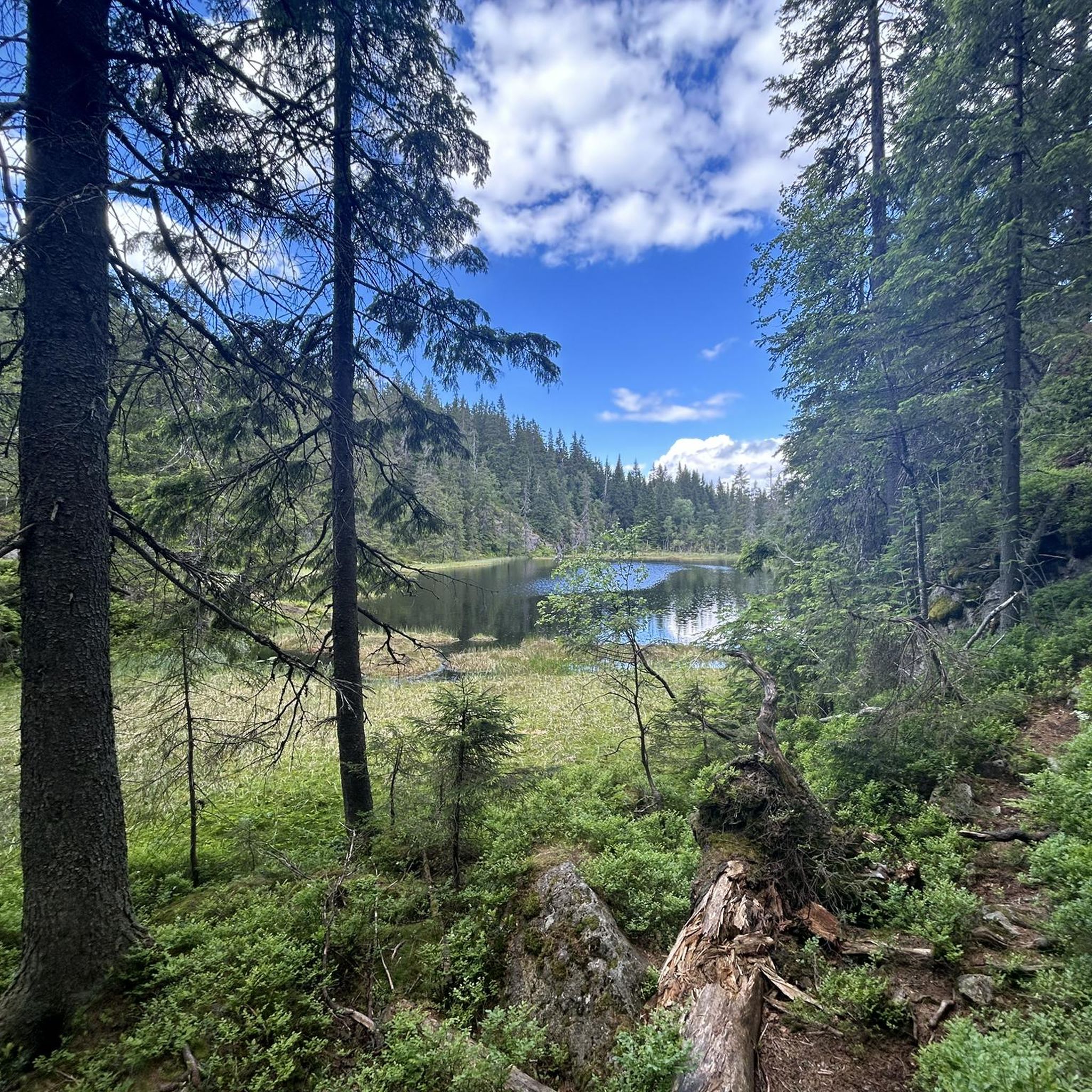
Hiking in Mellomkollen Naturreservat offers a diverse landscape characterized by rugged terrain, steep hillsides, and deep ravines. The reserve features extensive old-growth spruce forests, creating a lush environment, alongside areas with varied flora including ash, maple, and elm. Mellomkollen itself stands at 537 meters, providing panoramic viewpoints over Maridalen and Maridalsvannet. The geological makeup includes lava sequences and complex fault patterns, contributing to its unique features.
Best hiking trails in Mellomkollen Naturreservat
- The most popular hiking route is Maridal Alps, a 7.9 miles (12.7 km) trail that takes 3 hours 50 minutes to complete. This moderate route is known for its varied experiences across the "Maridal Alps" landscape.
- Another top favourite among local hikers is Tour around Helgeren from Skar, a difficult 15.2 miles (24.4 km) path. This challenging trek offers expansive views and demands good fitness.
- Local hikers also love the View of Maridalsvannet – Picnic Spot by Lake Øyungen loop from Vaggesteinbrua, a 3.8 miles (6.2 km) trail leading through tranquil spots by lakes, often completed in about 1 hour 44 minutes.
- Hiking in Mellomkollen Naturreservat is defined by steep hillsides, old-growth spruce forests, and panoramic viewpoints. The network offers options for different ability levels, from easy loops to challenging treks.
- The routes in Mellomkollen Naturreservat are highly rated by the komoot community with an average score of 4.5 stars from over 600 reviews. More than 5000 hikers have used komoot to explore Mellomkollen Naturreservat's varied terrain.
Last updated: July 10, 2026
4.7
(35)
119
hikers
12.7km
03:51
400m
400m
Moderate hike. Good fitness required. Easily-accessible paths. Suitable for all skill levels.
4.3
(3)
5
hikers
24.4km
07:01
570m
570m
Hard hike. Very good fitness required. Easily-accessible paths. Suitable for all skill levels.

Sign up for free
3.9
(7)
72
hikers
Easy hike. Great for any fitness level. Easily-accessible paths. Suitable for all skill levels.
4.3
(4)
65
hikers
5.45km
01:33
130m
130m
Easy hike. Great for any fitness level. Easily-accessible paths. Suitable for all skill levels.
4.8
(4)
23
hikers
10.3km
03:15
400m
400m
Moderate hike. Good fitness required. Easily-accessible paths. Suitable for all skill levels.
Get access to more routes and recommendations from other explorers.
Sign up for free
Already have an account?
Our route recommendations are based on thousands of hikes, rides, and runs completed by other people on komoot.
Start today with a free account
Your next adventure awaits.
Login or Signup
Tips from the Community

Hidden in the forest and just a stone’s throw from the lake, this cozy red kiosk is a welcome surprise for hungry hikers and cyclists. Coffee, waffles, ice cream or a warm cinnamon bun, everything tastes better after a few kilometers in the woods. Picnic tables nearby invite you to sit, relax, and soak in the peaceful surroundings.
0
0
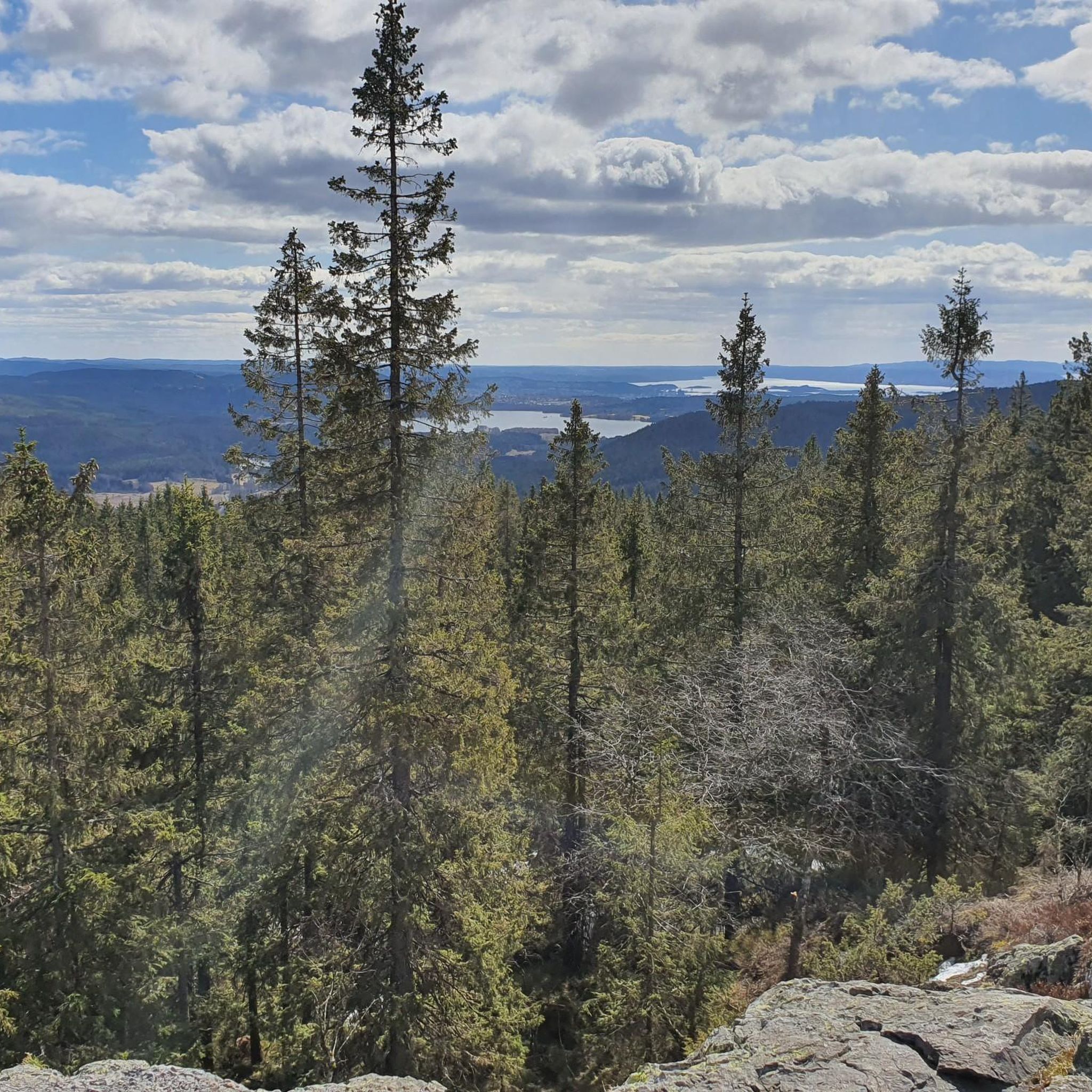
Panoramic viewpoint over Nordmarka and the lakes below. From Mellomkollen, you get a wide-angle view stretching across forests, valleys, and water, especially striking in the golden light of early morning or late afternoon. A perfect spot to pause, breathe, and take it all in.
0
0
A peaceful clearing by the water’s edge, perfect for a lunch break or a slow coffee with a view. Surrounded by forest and framed by smooth rocks, this spot has a fire ring and a raw, natural charm. On a calm day, the lake turns into a mirror making it hard to leave.
0
0
A short but dramatic crossing above the roaring Helvetesfossen. Surrounded by dense forest and the sound of rushing water, it’s a spot well worth pausing at to soak in the raw energy of the place before continuing your ride or hike.
0
0
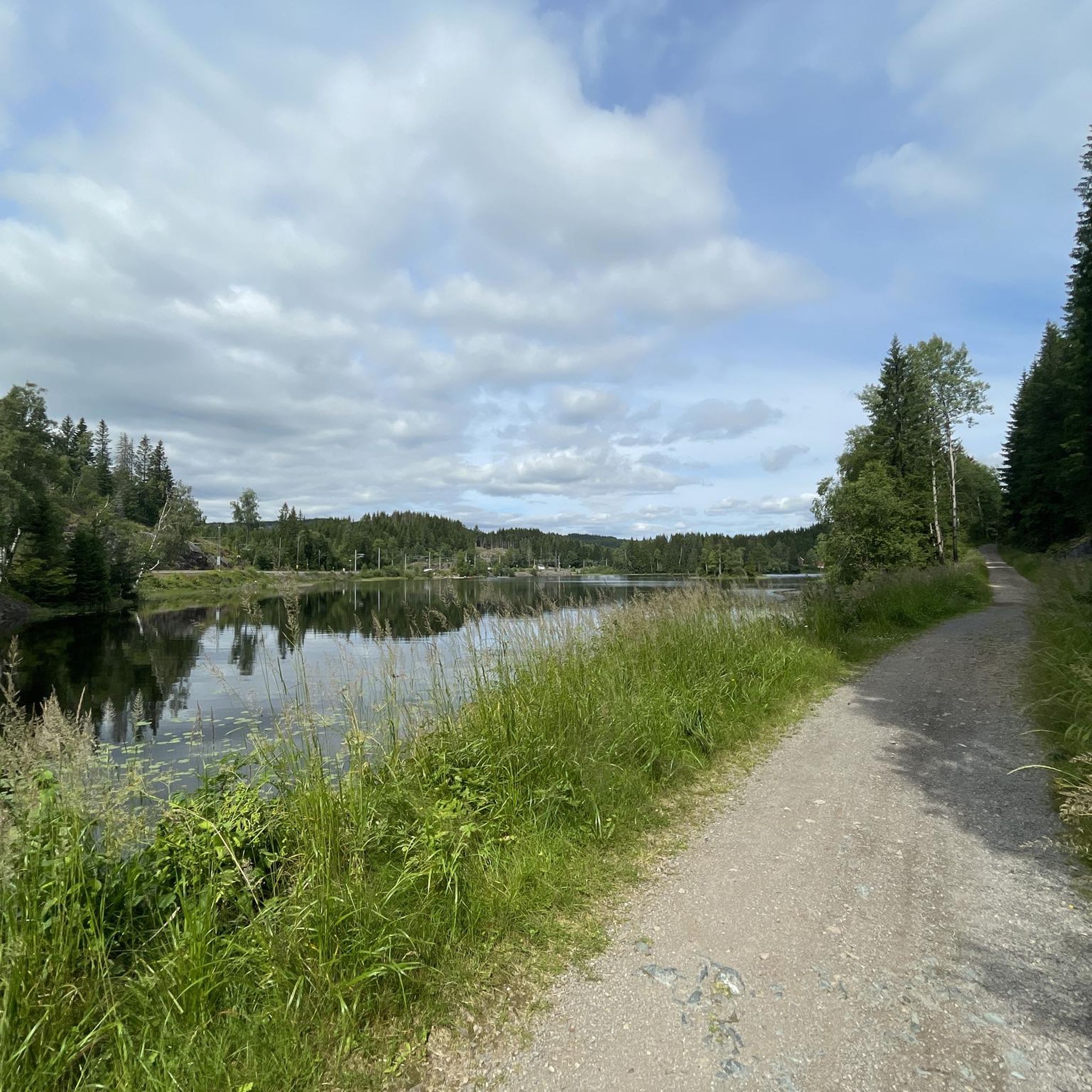
Tucked between tall pines and with roots underfoot, this quiet picnic spot offers a front-row seat to Øyungen’s calm waters. It's perfect for a lunch with a view, a break after hiking, or simply soaking up the peaceful forest atmosphere.
1
0

Great place for a picnic with a view of Oslo
0
0
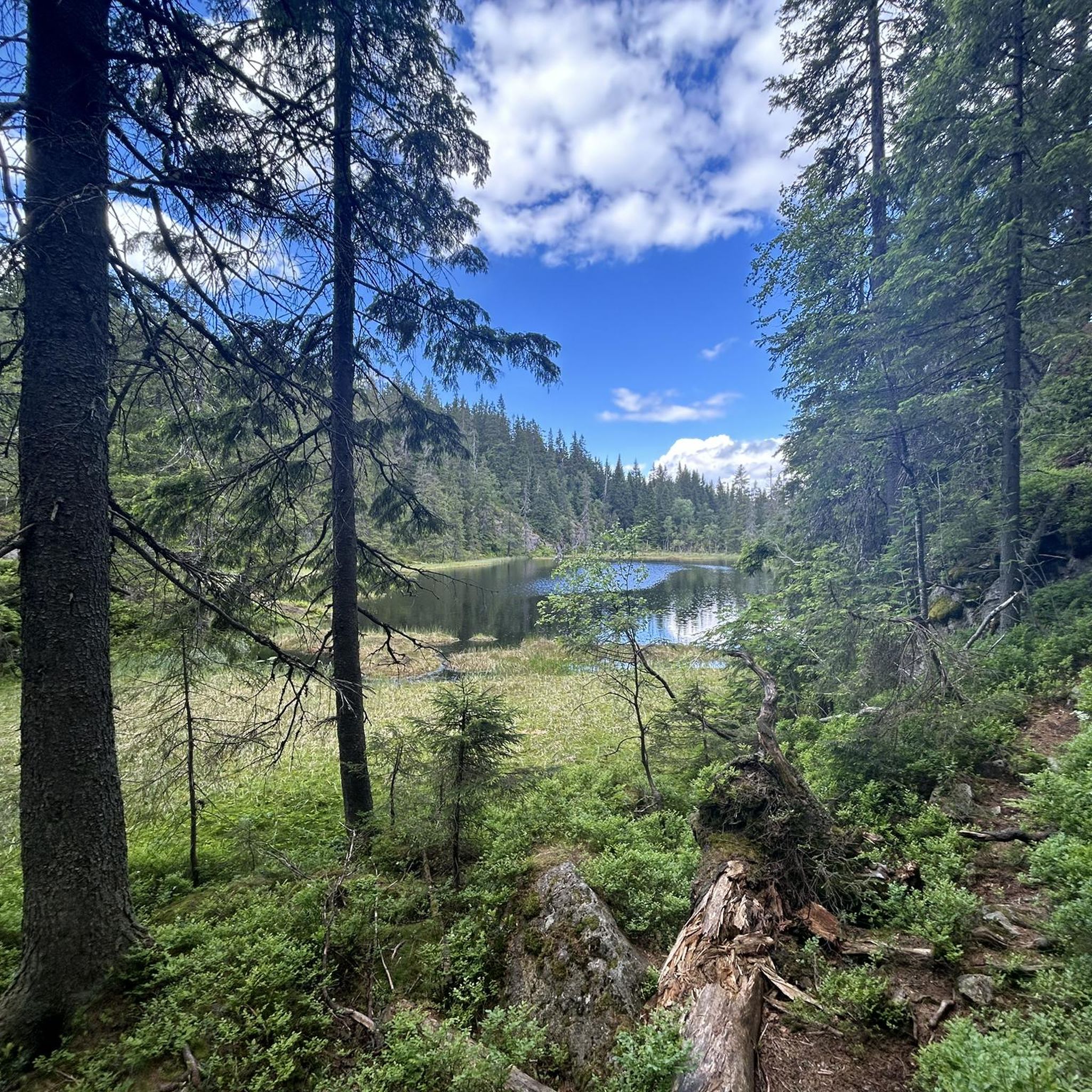
🌱💧A beautiful wetland area surrounding various ponds. Caution: Even in spring, there may still be snow there, as it's much colder in the hollows. Plank paths lead through some of the area, but they can be difficult to find in the snow. So, it's easy to break through the snow and plunge straight into the cool water. 🥶
2
0

Two cozy DNT cabins. One with several bedrooms and the other with five beds in one room.
0
0
Frequently Asked Questions
What kind of terrain can I expect when hiking in Mellomkollen Naturreservat?
Mellomkollen Naturreservat is known for its dramatic and varied topography. You'll encounter steep hillsides, deep ravines, and lush old-growth spruce forests. The geological makeup, with lava sequences and complex fault patterns, contributes to its unique and rugged character, often referred to as the 'Maridal Alps'.
Are there any easy hiking trails suitable for beginners or families in Mellomkollen Naturreservat?
Yes, the reserve offers a good selection of easier trails. There are over 50 easy routes available, including loops that take under two hours. A great option for a tranquil experience is the View of Maridalsvannet – Picnic Spot by Lake Øyungen loop from Vaggesteinbrua, which is 6.2 km long and leads through peaceful spots by the lakes.
What are the best viewpoints in Mellomkollen Naturreservat?
For expansive views, head to Mellomkollen itself, which stands at 537 meters above sea level, or to Gaupekollen. From these points, you can enjoy panoramic vistas over Maridalen, the surrounding forested hills, Maridalsvannet, and even the distant Oslofjord. Consider the View from Gaupekollen – View of Oslo from Mellomkollen loop from Vaggesteinbrua for a route that takes in these sights.
Are there any waterfalls or lakes to see in the reserve?
Yes, the reserve features beautiful natural water elements. You can visit the dramatic Helvetesfossen waterfall, which is a worthy spot to pause during a hike. Additionally, the reserve encompasses serene lakes like Maridalsvannet and Øyungen, offering tranquil spots for picnics or simply enjoying the peaceful atmosphere.
How accessible is Mellomkollen Naturreservat by public transport?
Mellomkollen Naturreservat is quite accessible, especially given its proximity to Oslo. You can reach various trailheads via public transport, with routes available from Snippen and Movatn stations. This makes it a convenient destination for outdoor enthusiasts without a car.
Are there any circular hiking routes in Mellomkollen Naturreservat?
Yes, the reserve offers several circular routes. You can find loops around Lake Øyungen or routes that take you to prominent viewpoints like Mellomkollen and Gaupekollen. These loops provide varied experiences without needing to retrace your steps.
What do other hikers say about their experience in Mellomkollen Naturreservat?
The hiking routes in Mellomkollen Naturreservat are highly rated by the komoot community, with an average score of 4.5 stars from over 600 reviews. Hikers often praise the diverse landscape, the well-maintained paths, and the rewarding panoramic views from various peaks.
Can I find drinking water or places to rest along the trails?
Yes, locations like Tømte Gård serve as points of interest and potential rest stops. Tømte Gård specifically offers a water pump where you can get cold drinking water, which can be very welcome during a hike.
Are there any historical or cultural points of interest in the reserve?
Beyond its natural beauty, the reserve holds some cultural and historical significance. You can discover a small memorial plaque for the poet Bernhard Herre and a memorial plate commemorating the Home Front's efforts during World War II, alongside remnants of a German bomber that crashed in the area.
What is the best time of year to hike in Mellomkollen Naturreservat?
While the reserve offers hiking opportunities year-round, spring is particularly beautiful with a vibrant display of wildflowers like blue anemones, spring pea, and lily of the valley. Summer provides lush greenery and pleasant temperatures, while autumn brings colorful foliage. Winter hiking is also possible, though conditions may vary.
Are dogs allowed on the hiking trails in Mellomkollen Naturreservat?
Generally, dogs are welcome on trails in Norwegian nature areas, but they must be kept on a leash, especially during certain times of the year to protect wildlife. Always ensure your dog is under control and follow local regulations regarding leash laws and waste disposal.
Are there any longer, more challenging hikes available?
Absolutely. For those seeking a more demanding adventure, the reserve offers challenging treks requiring good fitness. An example is the Tour around Helgeren from Skar, a difficult 24.4 km path that offers expansive views and demands very good fitness and sure-footedness.
Most popular routes in Mellomkollen Naturreservat

Get inspired with the komoot mobile app


Explore more
Browse the best Hikes in other regions.
