The best walks and hikes in Veteren Naturreservat
4.8
(17)
150
hikers
8
hikes
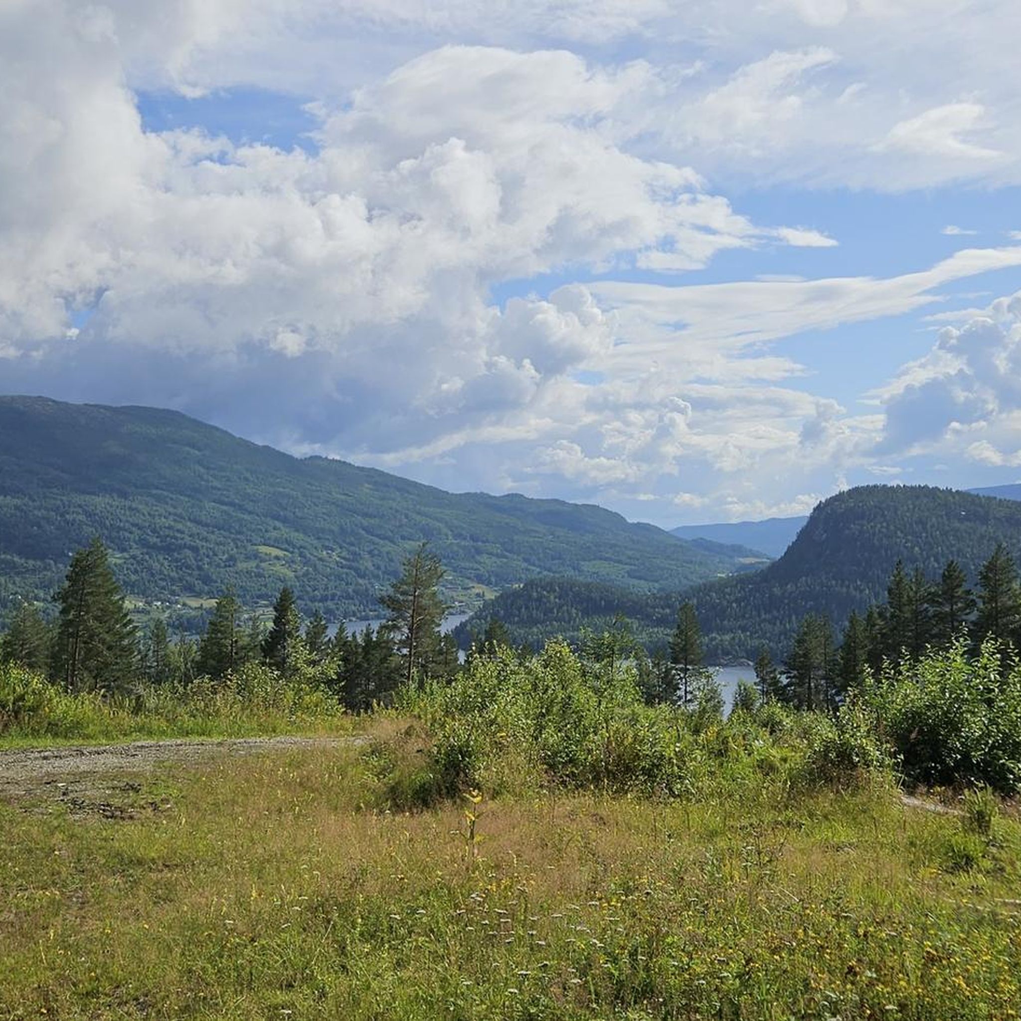
Hiking in Veteren Naturreservat, located in Flå kommune, Viken fylke, Norway, offers varied terrain for outdoor activities. The region is characterized by mountain and forest landscapes, including high plateaus and valleys. These physical features provide diverse hiking opportunities with notable elevation changes. The reserve contains a network of marked paths and tractor roads, offering access to its natural environment.
Best hiking trails in Veteren Naturreservat
- The most popular hiking route is Sauvallnattan loop from Sauvallnattan, a 4.7 miles (7.5…
Last updated: October 16, 2026
5.0
(4)
17
hikers
6.58km
02:18
250m
250m
Moderate hike. Good fitness required. Mostly accessible paths. Sure-footedness required.
4.0
(1)
5
hikers
7.46km
02:41
230m
230m
Moderate hike. Good fitness required. Mostly accessible paths. Sure-footedness required.

5.0
(1)
13
hikers
22.0km
08:52
1,090m
1,090m
Hard hike. Very good fitness required. Mostly accessible paths. Sure-footedness required.
12
hikers
7.60km
02:29
230m
230m
Moderate hike. Good fitness required. Mostly accessible paths. Sure-footedness required.
5.0
(1)
14
hikers
9.87km
02:47
210m
210m
Moderate hike. Good fitness required. Easily-accessible paths. Suitable for all skill levels.
Get access to more routes and recommendations from other explorers.
Already have an account?
Our route recommendations are based on thousands of hikes, rides, and runs completed by other people on komoot.
Start today with a free account
Your next adventure awaits.
Popular around Veteren Naturreservat
Tips from the Community

This is the start (or end point) of the trail. A perfect spot to take a short break and soak in the surroundings.
0
0
An absolutely stunning trail through the wetlands of Sauvallsvingen. The route is hilly but never really steep, and the surroundings are out of this world.
0
0

DNT Drammen is arranging coffee, waffles and the like between 10 AM-4 PM this summer! Delicious!
0
0

At 1,052 metres, Sauvallnattan gives you nice views out over the nearby lakes and over towards Hesteleinnattan. The access to here is also quite easy.
0
0
At 1,183 metres, Hesteleinnattan is a pretty accessible peak. It is also known locally as "Hesteleinan". It makes for a good peak to do in winter or summer, and you have great views all round from the top. It is possible to see Store Knutsholstinden (2,341 metres) to the north on a good clear day.
1
0

Vardefjell is a 1,121-metre peak; from the summit, you get expansive views of the surrounding Hallingdal landscape, including the nearby Fyrisjøen lake and the Krøderen area.
0
0

Høgevarde is an impressive mountain summit with wide views over vast plateaus, lakes, and distant mountain ridges. The route to the top follows rocky mountain trails and open terrain, with every step bringing you closer to the panoramic views.
0
0

Wonderful tour with a chance to see wild reindeer!
0
0
Frequently Asked Questions
How many hiking trails are available in Veteren Naturreservat?
There are 8 hiking trails recorded in Veteren Naturreservat on komoot. These routes offer a range of experiences, from moderate to difficult, exploring the diverse mountain and forest landscapes of the area.
What kind of terrain can I expect on hikes in Veteren Naturreservat?
Hikes in Veteren Naturreservat feature varied terrain, characteristic of the Flå region. You can expect a mix of high mountain peaks, forested valleys, and high plateaus. The trails often include significant elevation changes, providing a true Norwegian mountain experience.
Are there any easy hiking trails in Veteren Naturreservat?
Currently, all recorded routes in Veteren Naturreservat are rated as moderate or difficult. There are no easy trails listed, so hikers should be prepared for some challenging ascents and varied terrain.
Are there any circular hiking routes in Veteren Naturreservat?
Yes, several popular routes in Veteren Naturreservat are circular. For example, the Sauvallnattan loop from Sauvallnattan is a moderate 7.5 km (4.7 miles) trail, and the Høgevard DNT Hut – Høgevarde Summit loop from Utsikten offers a longer 10.6 km (6.6 miles) moderate challenge.
What are some notable landmarks or features to look out for in Veteren Naturreservat?
The reserve is home to various natural features. While hiking, you might encounter areas like Ranten, Hallingtjernpika, Svarteputt, and Storviksanden. There's also a 'Veterhytta' (Veter Cabin) which could serve as a resting point. The broader region also offers panoramic views from Mount Høgevarde.
What do other hikers enjoy the most about hiking in Veteren Naturreservat?
The area is highly rated by the komoot community, with an average score of 5.0 stars from 10 reviews. Hikers often praise the varied terrain, the challenging ascents, and the opportunity to explore mountain and forest landscapes.
Are the trails in Veteren Naturreservat suitable for families with children?
Given that all recorded routes are rated moderate to difficult, trails in Veteren Naturreservat may be more suitable for families with older children or those accustomed to more challenging hikes. There are no easy trails specifically listed for young children.
Can I bring my dog on the hiking trails in Veteren Naturreservat?
While the region is generally dog-friendly, specific rules for dogs within Veteren Naturreservat can vary. It's always recommended to check local regulations regarding leash requirements and protected areas before bringing your dog, especially in nature reserves.
What is the best time of year to visit Veteren Naturreservat for hiking?
The best time to visit for hiking is typically during the warmer months, from late spring to early autumn, when trails are free of snow and ice. This allows for safe access to the varied mountain and forest terrain. Winter offers opportunities for skiing, but hiking conditions will be different.
Are there any particularly challenging hikes in the reserve?
Yes, Veteren Naturreservat offers several difficult routes for experienced hikers. A notable challenging option is the Ranten Summit (1,419 m) – Høgevarde Summit loop from Gulsvikelvi, which covers 22 km (13.7 miles) with over 1000 meters of elevation gain.
Is there public transport or parking available near the trailheads?
While the guide doesn't specify public transport options directly to the trailheads within the reserve, the Flå municipality is accessible. Parking availability near specific trail starting points like Gulsvikelvi or Utsikten would typically be found on local maps or by checking with local tourist information. For broader travel information to the region, you can visit Visit Norway's Flå page.
Are there any amenities or cabins available along the hiking routes?
The region research mentions a 'Veterhytta' (Veter Cabin) within the reserve, which could serve as a resting point or destination. For other amenities like cafes or accommodation, these would typically be found in nearby towns or villages within the Flå municipality.
Most popular routes in Veteren Naturreservat

Get inspired with the komoot mobile app


Explore more
Browse the best Hikes in other regions.
