The best running trails in Bastøy Landskapsvernområde
4.9
(5)
806
runners
66
runs
Jogging routes in Bastøy Landskapsvernområde traverse a diverse landscape featuring varied forests, open agricultural fields, and coastal stretches. The island, approximately 3 km long and 1.4 km wide, offers a mix of terrain including old carriage roads through spruce forests and areas with unique geological formations like stone fields. This landscape protection area provides a tranquil environment for outdoor exercise, blending cultivated land with natural areas and coastal views.
Best jogging routes in Bastøy Landskapsvernområde
- The most popular jogging route…
Last updated: June 28, 2026
18
runners
5.16km
00:35
20m
20m
Moderate run. Good fitness required. Mostly paved surfaces. Suitable for all skill levels.
4.7
(3)
101
runners
7.37km
00:48
30m
30m
Moderate run. Good fitness required. Mostly paved surfaces. Suitable for all skill levels.

Sign up for free
35
runners
8.31km
00:55
50m
50m
Moderate run. Good fitness required. Mostly paved surfaces. Suitable for all skill levels.
21
runners
Moderate run. Good fitness required. Mostly paved surfaces. Suitable for all skill levels.
7
runners
6.97km
00:44
70m
70m
Moderate run. Good fitness required. Mostly paved surfaces. Suitable for all skill levels.
Get access to more routes and recommendations from other explorers.
Sign up for free
Already have an account?
Our route recommendations are based on thousands of hikes, rides, and runs completed by other people on komoot.
Start today with a free account
Your next adventure awaits.
Login or Signup
Popular around Bastøy Landskapsvernområde
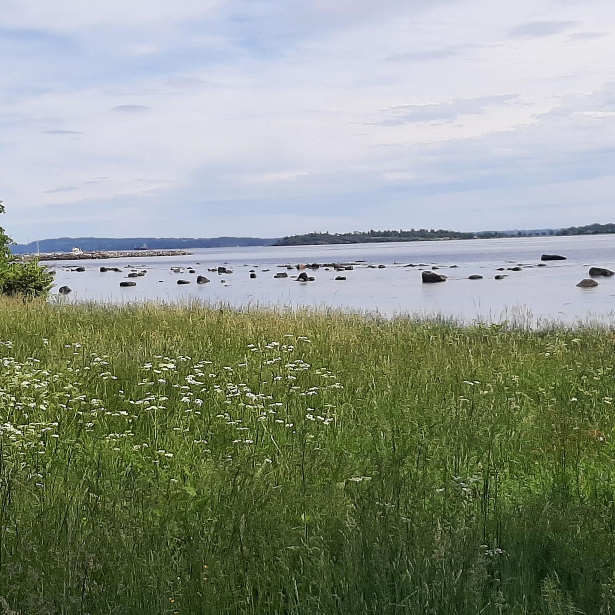
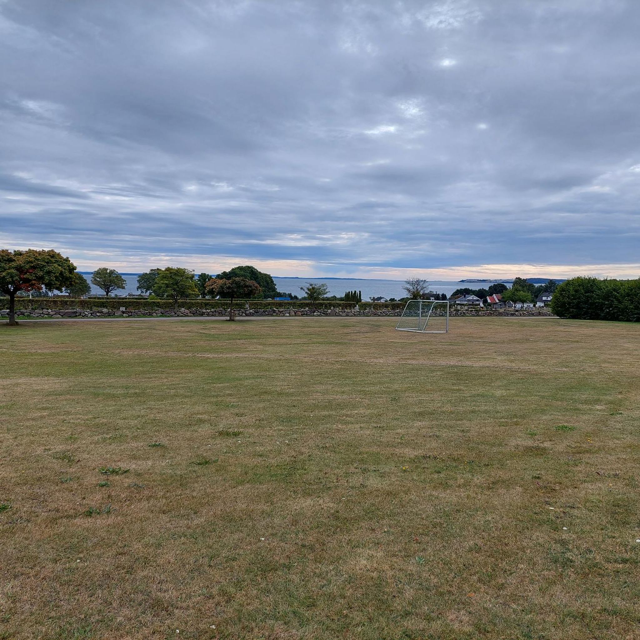
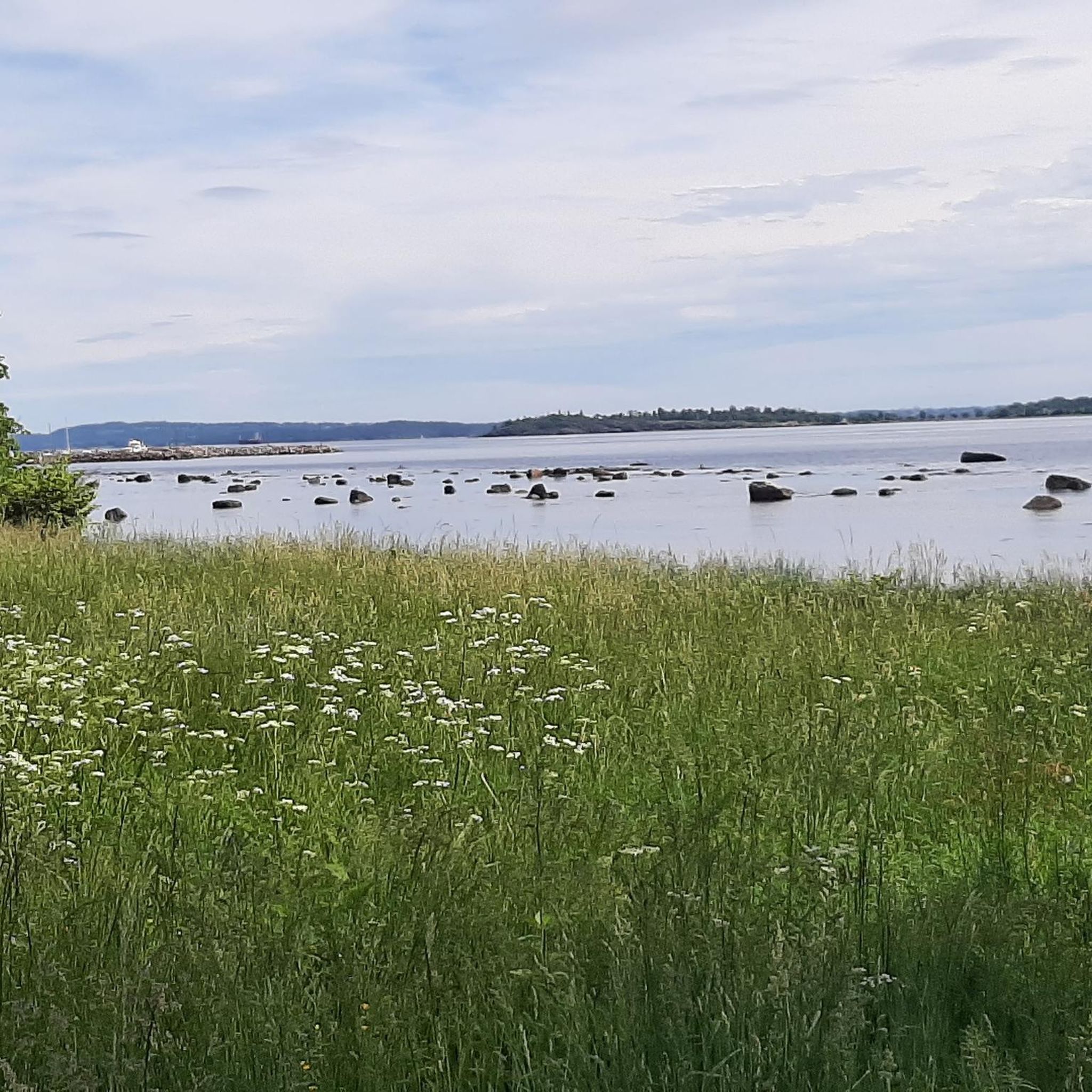
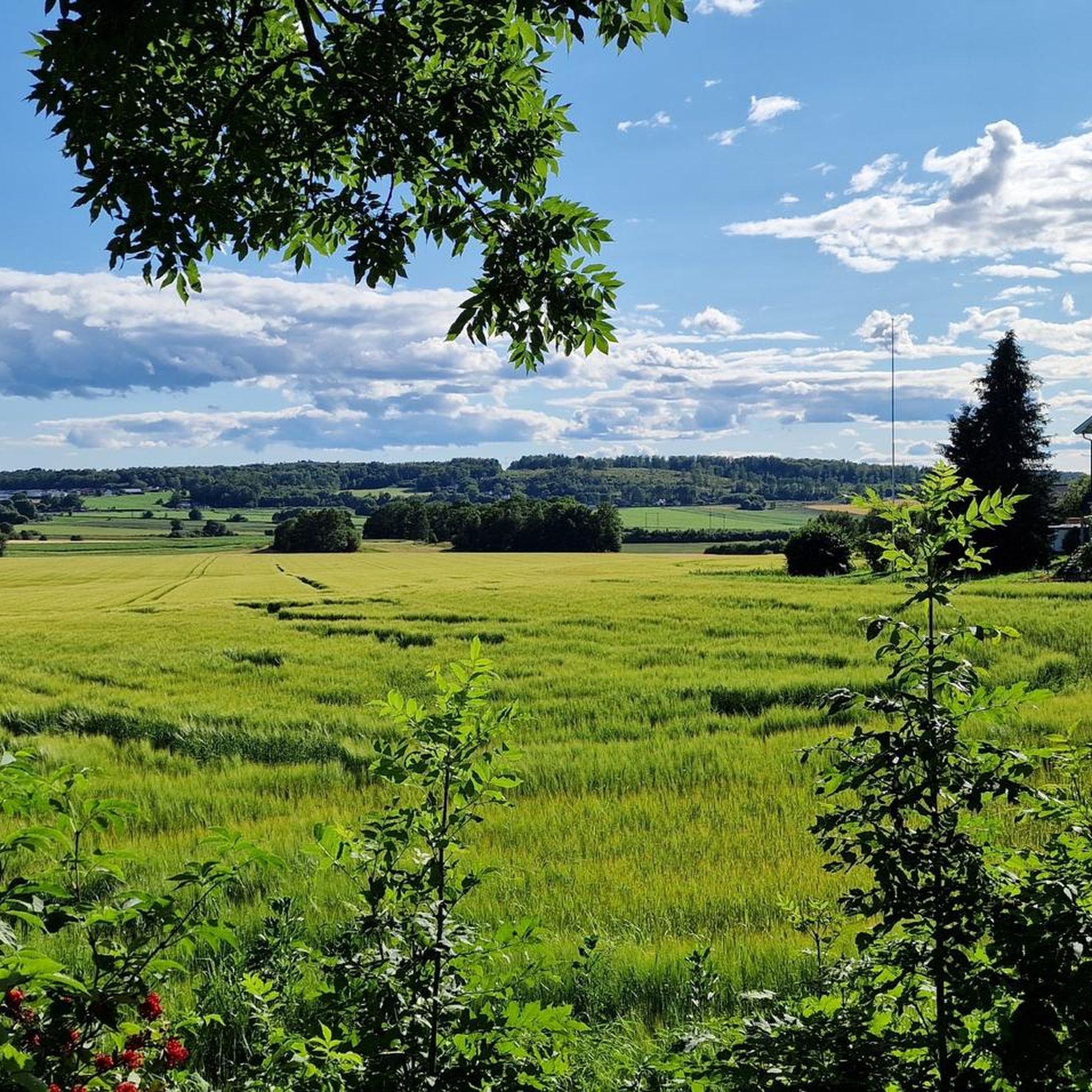
Tips from the Community


This trail will get you close to the sea!
0
0

Entering Åsgårdsstrand from the South, the world renowned painter Edward Munch´s home town. Beautiful white wooden houses, great seascapes, beaches and cafes for travellers.
0
0

Komoot is planning you to pass near the Main Street. This way is much nicer, especially as it is always on sea level.
0
0

Just before the harbor of Åsgårdstrand, the route follows the waterfront. From here you can see all the way to the other shore of Oslofjord and observe numerous boats and ships.
0
0
Frequently Asked Questions
How many running routes are available in Bastøy Landskapsvernområde?
Komoot features over 60 running routes in Bastøy Landskapsvernområde. These routes cater to various fitness levels, with options ranging from easy to more challenging trails.
Is Bastøy Island accessible to the public for running?
Yes, Bastøy Island, including Bastøy Landskapsvernområde, is generally open to the public for recreation. It's known for its tranquil environment, making it ideal for outdoor activities like running. However, it's important to be aware that the island also houses an open prison, so visitors should respect privacy and follow any posted guidelines.
How can I get to Bastøy Island for a run?
Access to Bastøy Island is primarily via ferry from Horten. While the island is known for its prison, there is public access for visitors. You'll need to check the ferry schedule from Horten to plan your trip. For more detailed information on public transport and ferry schedules, it's best to consult local transport authorities.
Are there any family-friendly running trails on Bastøy Island?
Bastøy Landskapsvernområde offers a mix of terrain, including old carriage roads and open agricultural fields, which can be suitable for families. While specific 'family-friendly' designations aren't always explicit, the island's manageable size (approximately 3 km long) and varied landscapes provide pleasant options for runs with children. Many routes are considered easy or moderate, making them accessible.
Can I bring my dog on the running trails in Bastøy Landskapsvernområde?
Generally, dogs are permitted in Norwegian landscape protection areas, but specific rules may apply, especially concerning livestock or protected wildlife. Given Bastøy's active agricultural landscape with livestock and rich birdlife, it's crucial to keep dogs on a leash and ensure they do not disturb animals or nature. Always check local signage for any specific restrictions.
What natural features or landmarks can I see while running on Bastøy Island?
While running on Bastøy Island, you can experience diverse natural features. The island boasts varied forests, unique geological formations like stone fields, and an intact agricultural landscape with livestock. You might also spot the historic Bastøy Lighthouse, established in 1840, or the geologically unusual 'Bastøykongen' stone on the eastern side. Coastal areas like Bastøybukta and Bastøykalven offer scenic sea views and rich birdlife.
Are there circular running routes available on Bastøy Island?
Yes, many of the running routes in Bastøy Landskapsvernområde are designed as loops, offering a complete circular experience. For example, the Running loop from Borrehaugene is a popular 3.2-mile (5.2 km) circular trail. Another option is the Gravel Trail at Karljohansvern loop from Horten, which provides a moderate 4.6-mile (7.4 km) loop with scenic views.
What is the best time of year for running on Bastøy Island?
The best time to visit Bastøy Landskapsvernområde for running depends on your preferences. Spring offers extensive carpets of bluebells and other rare flora. Summer provides pleasant coastal views and warmer weather. The island's diverse forests and agricultural landscapes make it appealing throughout the warmer months. Always check local weather conditions before your run.
Are there easy running routes suitable for beginners?
Yes, Bastøy Landskapsvernområde offers several easy running routes. The terrain is generally manageable, with minimal elevation gain on many trails. The island's old carriage roads through spruce forests provide accessible paths. Look for routes described as 'easy' or those with shorter distances and flatter profiles for a comfortable beginner experience.
What do other runners enjoy most about running in Bastøy Landskapsvernområde?
The running routes in Bastøy Landskapsvernområde are highly rated by the komoot community, with an average score of 4.8 stars. Runners often praise the tranquil environment, the blend of diverse natural landscapes—from forests and open fields to coastal stretches—and the well-maintained paths. The unique geological features and historical elements also add an interesting dimension to the running experience.
Are there any cafes or restaurants near the running routes on Bastøy Island?
Bastøy Island itself is primarily a landscape protection area and an open prison, so direct access to cafes or restaurants on the island is limited. However, the ferry to Bastøy departs from Horten, which is a town with various amenities, including cafes and restaurants. You can find options for refreshments before or after your run in Horten.
Where can I park my car when taking the ferry to Bastøy Island?
If you are traveling to Bastøy Island by ferry from Horten, you will need to find parking in Horten near the ferry terminal. Horten offers various parking options, including public parking lots, where you can leave your car while you visit the island. It's advisable to check local parking regulations and availability in Horten before your trip.
Most popular routes in Bastøy Landskapsvernområde

Get inspired with the komoot mobile app


Explore more
Browse the best Running Trails & Routes in other regions.
