The best road cycling routes in Bastøy Landskapsvernområde
4.4
(16)
1,255
riders
56
rides
Road cycling in Bastøy Landskapsvernområde offers exploration of a natural and cultural landscape within the Oslofjord, characterized by diverse flora and unique geological formations. The island, approximately 1.9 miles (3 km) long and 0.9 miles (1.4 km) wide, features a mix of spruce and deciduous forests, dry meadows, and an active agricultural landscape. While the terrain is generally suitable for leisurely road cycling, routes may include varied surfaces, reflecting the island's protected natural environment. Geological features such as stone fields and the lava stone "Bastøykongen" contribute to the distinctive scenery.
Best road cycling routes in Bastøy Landskapsvernområde
- The most popular road cycling route is Midgard Vikingsenter – Ferry from Horten to Moss loop from Horten, a 15.5 miles (24.9 km) trail that takes 1 hour 5 minutes to complete. This route offers a blend of cultural interest and coastal views.
- Another top favourite among local road cyclists is Munch Museum in Åsgårdstrand – By the Oslofjord loop from Horten, an easy 19.9 miles (32.1 km) path. This path traverses varied landscapes along the Oslofjord.
- Local road cyclists also love the Nykirke church – Sande loop from Horten, a 38.8 miles (62.4 km) trail leading through varied terrain with a moderate difficulty, often completed in about 2 hours 45 minutes.
- Road cycling in Bastøy Landskapsvernområde is defined by diverse forest types, valuable geological formations, and coastal access points. The network offers options for easy, moderate, and difficult ability levels.
- The routes in Bastøy Landskapsvernområde are highly rated by the komoot community with an average score of 4.375 stars from over 10 reviews. More than 1000 road cyclists have used komoot to explore Bastøy Landskapsvernområde's varied terrain.
Last updated: July 12, 2026
4.8
(4)
24
riders
24.9km
01:05
190m
190m
Easy road ride. Great for any fitness level. Mostly well-paved surfaces and easy to ride.
9
riders
32.2km
01:25
270m
270m
Easy road ride. Great for any fitness level. Mostly well-paved surfaces and easy to ride.

Sign up for free
12
riders
65.1km
02:54
640m
640m
Moderate road ride. Good fitness required. Mostly well-paved surfaces and easy to ride.
8
riders
39.9km
01:41
260m
260m
Moderate road ride. Great for any fitness level. Some segments of this route may be unpaved and difficult to ride.
4
riders
54.9km
02:27
470m
470m
Moderate road ride. Good fitness required. Mostly well-paved surfaces and easy to ride.
Get access to more routes and recommendations from other explorers.
Sign up for free
Already have an account?
Our route recommendations are based on thousands of hikes, rides, and runs completed by other people on komoot.
Start today with a free account
Your next adventure awaits.
Login or Signup
Popular around Bastøy Landskapsvernområde
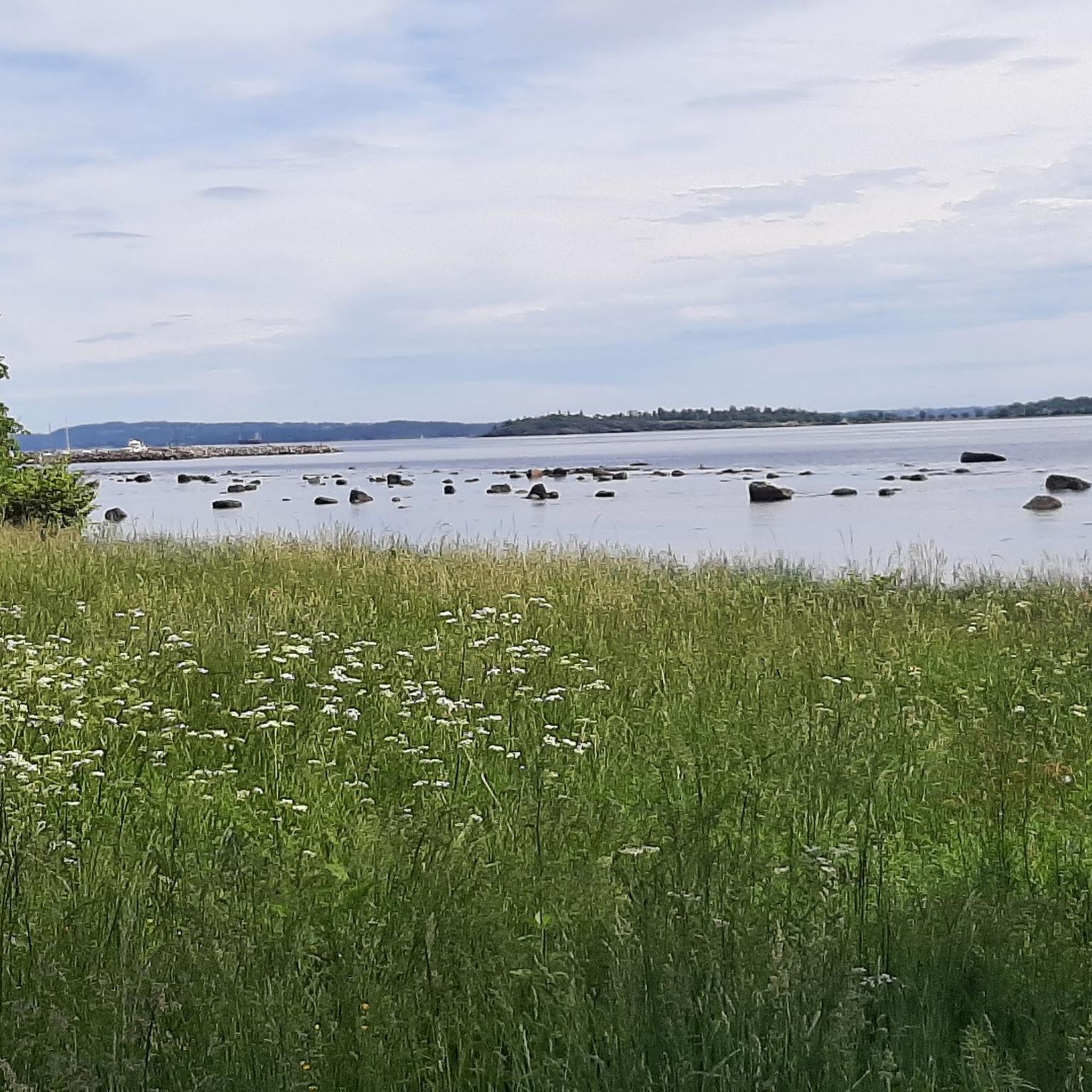
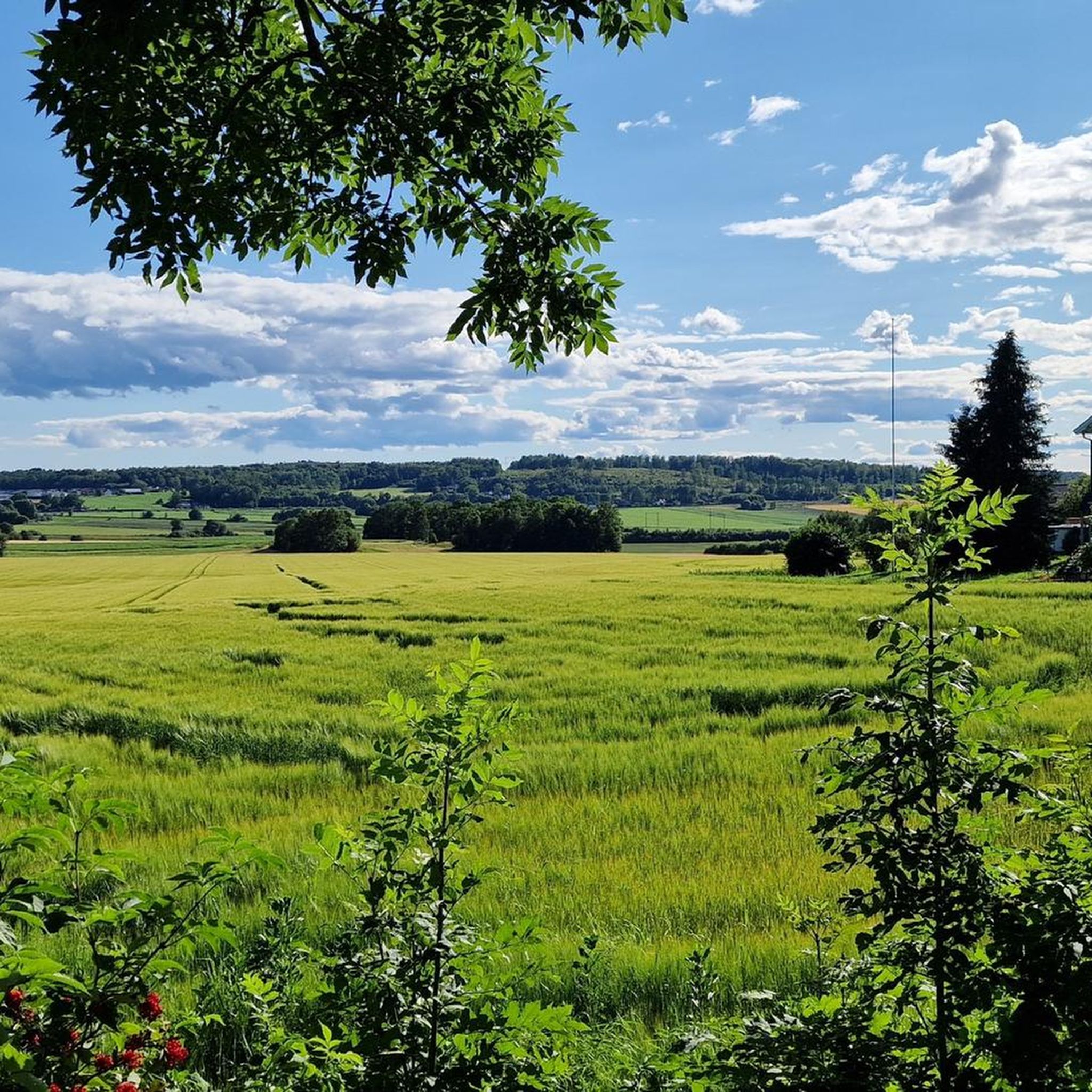
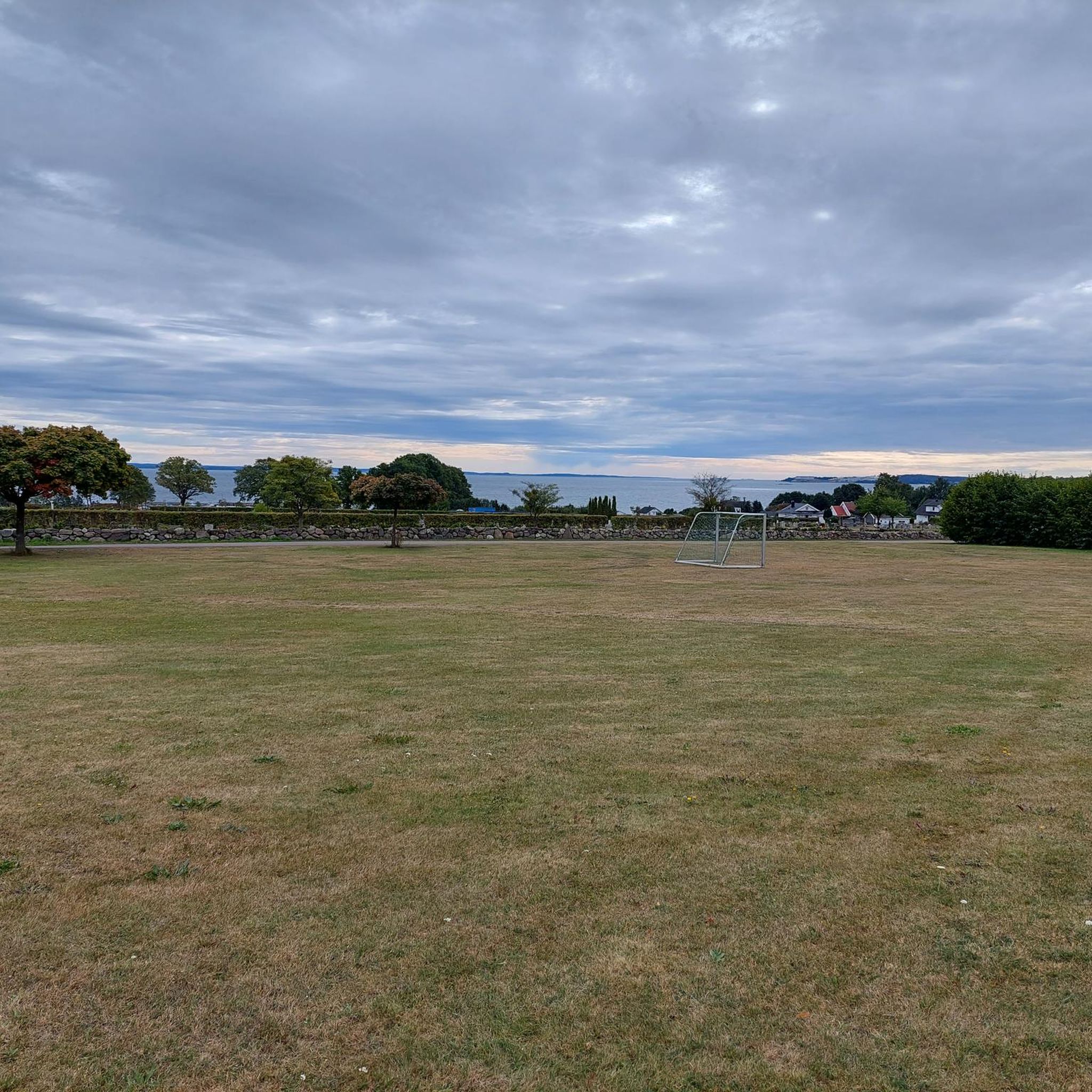
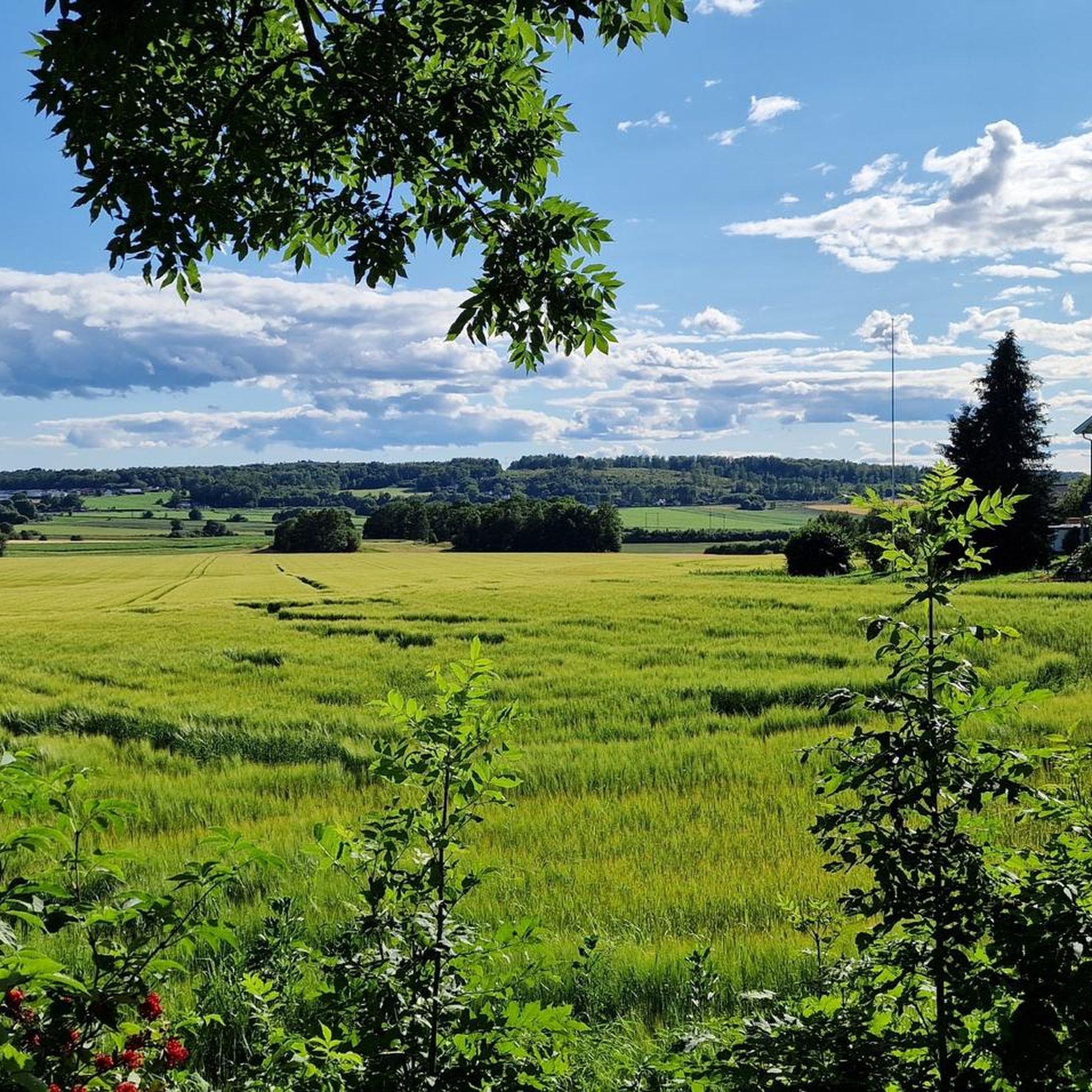
Tips from the Community

This path enables walkers and cyclists to follow the Hortensveien in and out of Tønsberg. From this path you can enjoy the Bergstein loop, a pleasant 3-kilometer (2-mi) amble featuring woodland and fields.
0
0

Tønsberg has a large woodland that stretches northwards from the edge of the town centre. Its trails are perfect for hours of walking.
0
0
Tufta is a small neighbourhood set in pleasant surroundings. You can choose to go for a walk in the fields, in the woods or along the water’s edge.
0
0


Free for pedestrians and cyclists. Just climb up.
1
0

You cycle almost entirely along a gravel path through the forest and along the water
0
1

Sande is a town situated on the western side of the Drammensfjord, part of the larger Oslofjord. The town centre offers shops and services, making it a practical stop for supplies or a break. There is a railway station which can be used as a useful connection point for bike rides.
0
0
Frequently Asked Questions
How many road cycling routes are available in Bastøy Landskapsvernområde?
There are over 60 road cycling routes available in Bastøy Landskapsvernområde. These routes cater to various skill levels, with 14 easy, 41 moderate, and 5 difficult options to explore the island's unique landscape.
What do other road cyclists say about the routes in Bastøy Landskapsvernområde?
The road cycling routes in Bastøy Landskapsvernområde are highly rated by the komoot community, with an average score of 4.2 stars from more than 15 reviews. Cyclists often praise the serene environment and the blend of natural and cultural landscapes.
How can I get to Bastøy island for road cycling?
Access to Bastøy island is primarily via ferry. One popular route, the Midgard Vikingsenter – Ferry from Horten to Moss loop from Horten, incorporates a ferry journey, suggesting this is a common way to reach and explore the area. You would typically take a ferry from Horten to Moss, which services the island.
Are there parking facilities for road cyclists near Bastøy Landskapsvernområde?
While Bastøy island itself is small and access is primarily via ferry, parking would generally be available at the ferry terminals on the mainland, such as in Horten or Moss, before you embark for the island. Specific parking on the island is limited due to its protected status and size.
Can I cycle on Bastøy island itself?
Yes, cycling is a viable way to explore Bastøy island. Despite its small size (3 km long and 1.4 km wide), the island features roads suitable for leisurely road cycling, allowing you to experience its beautiful natural and cultural landscape, diverse forests, and coastal areas.
What kind of landscapes can I expect to see while road cycling on Bastøy island?
While road cycling on Bastøy island, you can expect to encounter a beautiful natural and cultural landscape. The island boasts diverse flora, including extensive deciduous trees and large linden trees, as well as dry meadows with rare species like pasqueflower and wild garlic. You'll also see valuable geological formations and enjoy coastal views, particularly around Bastøy bay and Bastøykalven.
Are there any loop road cycling routes in Bastøy Landskapsvernområde?
Yes, several loop routes are available. For example, the Midgard Vikingsenter – Åsgårdstrand loop from Strandparken is an easy 20.4-mile (32.8 km) path, and the Undrumsdal church – Midgard Vikingsenter loop from Strandparken offers a longer 51.0-mile (82.1 km) moderate ride through the island's interior and cultural sites.
What wildlife might I encounter while road cycling in Bastøy Landskapsvernområde?
Bastøy Landskapsvernområde is a protected area, meaning all animal and plant life within it is safeguarded. While cycling, you might observe various bird species, especially around the Buvika/Rødskjær wetland area, which is a nature reserve. The island's diverse flora also supports a rich insect life.
Are there family-friendly road cycling options in Bastøy Landskapsvernområde?
Given the island's small size and generally leisurely cycling potential, many of the easier routes are suitable for families. The terrain is not typically challenging, allowing for pleasant rides through diverse forest types and along the coast, making it an enjoyable experience for various ages.
What is the best time of year for road biking in Bastøy Landskapsvernområde?
The best time for road biking in Bastøy Landskapsvernområde is typically during the warmer months, from late spring to early autumn. This period offers the most pleasant weather conditions to enjoy the island's natural beauty, diverse flora, and coastal access points.
Are there any cafes or places to rest along the road cycling routes?
Due to the island's small size and protected status, dedicated cafes directly on the cycling routes might be limited. It is advisable to carry your own refreshments. However, the coastal access points like Bastøy bay and Bastøykalven offer public open spaces ideal for resting and enjoying the views.
Are there any viewpoints or scenic spots along the road cycling routes?
Yes, the entire island offers scenic beauty. You'll find pleasant views through diverse forest types, particularly areas with extensive deciduous trees and large linden trees on the western side. The coastal areas, such as Bastøy bay and Bastøykalven in the north, provide public open spaces with picturesque views of the water.
Most popular routes in Bastøy Landskapsvernområde

Get inspired with the komoot mobile app


Explore more
Browse the best Road cycling routes in other regions.
