The best road cycling routes in Kviljo Plantefredningsområde
57
riders
5
rides
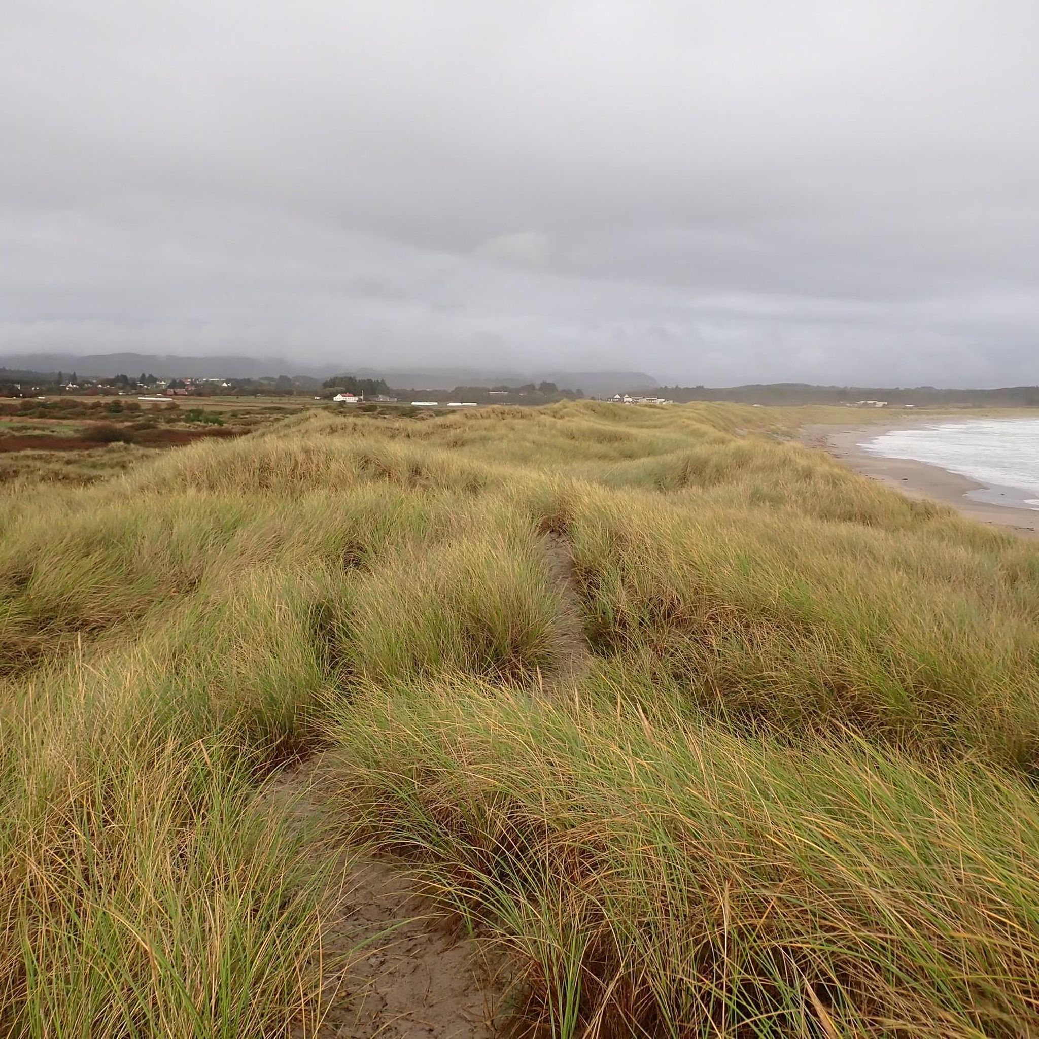
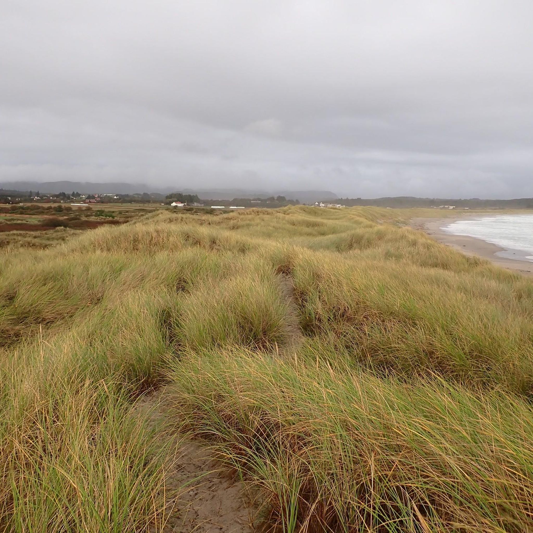
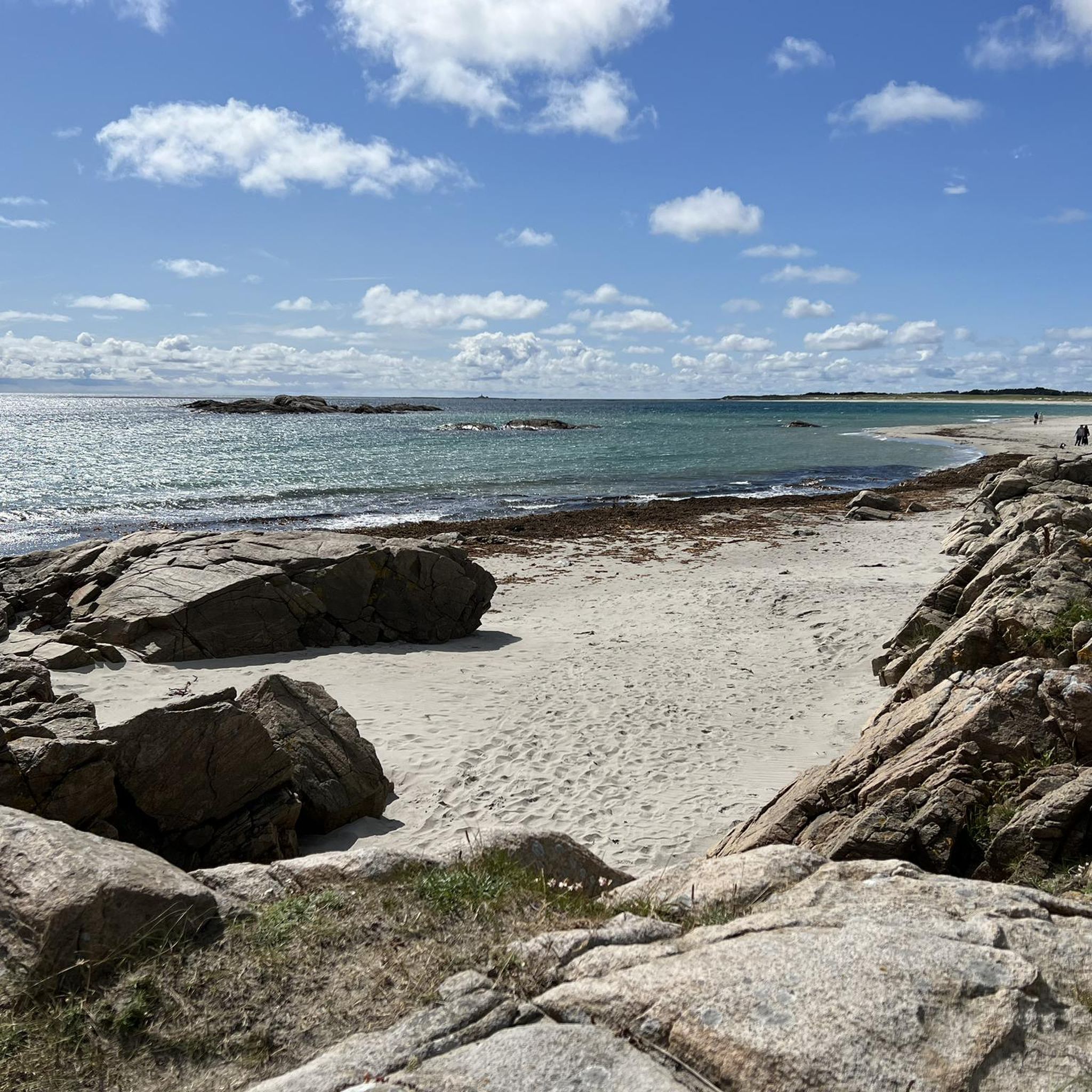
Road cycling in Kviljo Plantefredningsområde and the surrounding Lista region offers routes through a distinctive coastal landscape. The area is characterized by Norway's longest continuous sand dune system, with some dunes reaching over 5 meters in height, creating a dramatic visual backdrop. While the plant conservation area itself is protected, routes traverse "over Kviljo" and along the Lista beaches, featuring a mix of gravel and asphalt roads. The Farsund municipality provides a network of cycling paths, often with low traffic…
Last updated: July 9, 2026
17
riders
57.2km
03:01
840m
840m
Moderate road ride. Good fitness required. Some segments of this route may be unpaved and difficult to ride.
16
riders
101km
05:29
1,770m
1,770m
Hard road ride. Very good fitness required. Some segments of this route may be unpaved and difficult to ride.

Sign up for free
5
riders
20.5km
00:57
160m
160m
Moderate road ride. Great for any fitness level. Some segments of this route may be unpaved and difficult to ride.
15
riders
Moderate road ride. Good fitness required. Some segments of this route may be unpaved and difficult to ride.
4
riders
Hard road ride. Very good fitness required. Some segments of this route may be unpaved and difficult to ride.
Our route recommendations are based on thousands of hikes, rides, and runs completed by other people on komoot.
Start today with a free account
Your next adventure awaits.
Login or Signup
Popular around Kviljo Plantefredningsområde
Tips from the Community

A nice view as you cross the land bridge on the way to Lindesnes Fyr. One of the finest roads in all of Norway!
0
0

Nice place to enjoy a cozy break 🥰
2
0


Perfect place for a cup of coffee
1
0
Good high-speed track
0
0

Vanse obviously lives and loves Route 8 🇺🇸. This is quickly apparent in the small town centers… they even have a “little Brooklyn Bridge.”
0
0

Suitable for all bikes, including racing bikes
1
0
Frequently Asked Questions
How many road cycling routes are available in Kviljo Plantefredningsområde?
There are currently over 5 road cycling routes available in and around Kviljo Plantefredningsområde, offering a range of distances and difficulties to explore the distinctive coastal landscape.
What is the best time of year for road cycling in the Kviljo Plantefredningsområde region?
The most pleasant conditions for road cycling in the Farsund and Lista area, including Kviljo Plantefredningsområde, are generally between April and September. During this period, you can expect favorable weather to enjoy the coastal rides and flat terrain.
Are there any family-friendly road cycling routes in the area?
Yes, the region offers routes suitable for various fitness levels. Many sections, particularly along the Lista beaches, are relatively flat with low car traffic, making them accessible. For a moderate option, consider the Farsund Harbor loop from Solhougtoppen, which is 12.6 miles (20.3 km) and often completed in under an hour.
What kind of terrain can I expect on road cycling routes near Kviljo Plantefredningsområde?
The routes in this region feature a mix of gravel and asphalt roads. While the Lista beaches offer flat terrain, some initial sections can be steep and hilly. The area is known for its dramatic coastal landscape, including Norway's longest continuous sand dune system.
Are there any challenging road cycling routes for experienced riders?
Absolutely. For experienced riders seeking a challenge, the Access to Sandy Beach at Listastrendene – Farsund Harbor loop from Sundsodden is a difficult 63.3 miles (101.9 km) path with significant elevation gain. Another demanding option is the Farsund Harbor – Access to Sandy Beach at Listastrendene loop from Kvinesdal kirke, covering 113 km.
What scenic viewpoints or natural features can I see while cycling?
The region is characterized by its impressive sand dunes, some over 5 meters high, and the extensive Lista beaches. Kviljoodden, a prominent headland, is a vital resting point for migratory birds. Cycling routes often traverse 'over Kviljo,' offering direct access to this scenic beauty and coastal views.
Are there any circular road cycling routes available?
Yes, many routes in the area are designed as loops. For example, the Åseglova – Kjørvikskaret loop from Farsund is a popular moderate 36.2 miles (58.2 km) trail that offers varied terrain and returns to its starting point.
What are the regulations for cycling within Kviljo Plantefredningsområde itself?
Kviljo Plantefredningsområde is a protected plant conservation area. While routes may traverse 'over Kviljo,' it's important to respect conservation efforts. Generally, cycling is permitted on designated roads and paths. For specific regulations regarding protected areas in Norway, it's advisable to consult local signage or official sources like Wikipedia's entry on Kviljo Plantefredningsområde for general context.
Where can I find parking for road biking in the Kviljo Plantefredningsområde region?
While specific parking areas for Kviljo Plantefredningsområde are not detailed, the broader Farsund municipality, which encompasses the area, offers various starting points for cycling routes. You can typically find parking in towns like Farsund or near popular beach access points along the Lista peninsula, which serve as good trailheads for many routes.
Are there less crowded road bike routes near Kviljo Plantefredningsområde?
Many of the cycling paths in the Farsund and Lista area are known for having low car traffic, especially those that flatten out along the beautiful Lista beaches. This makes them generally less crowded and more enjoyable for cyclists seeking a peaceful ride. The route traversing 'over Kviljo' is specifically mentioned as having low traffic.
What do other road cyclists enjoy most about the Kviljo Plantefredningsområde region?
Road cyclists frequently praise the region's distinctive coastal landscape, characterized by Norway's longest continuous sand dune system and the scenic Lista beaches. The mix of terrain, from flat coastal paths to some hilly sections, and the generally low traffic conditions are also highly appreciated.
Can I combine road cycling with other activities in the area?
Yes, the Kviljo Plantefredningsområde is also significant for birdwatching, particularly at Kviljoodden, a resting point for migratory birds. The area's natural beauty makes it ideal for nature observation, and the Lista beaches are popular for various outdoor activities, allowing you to combine your ride with other interests.
Most popular routes in Kviljo Plantefredningsområde

Get inspired with the komoot mobile app


Explore more
Browse the best Road cycling routes in other regions.
