The best road cycling routes around Bolsterlang
4.5
(1226)
33,712
riders
216
rides
Road cycling around Bolsterlang is characterized by its location within the Allgäu Alps and the Hörner Group, offering diverse landscapes and varied elevation profiles. The region features green mountain meadows, hilly pre-Alps, and high mountains, providing a range of terrain for cyclists. Routes often traverse romantic river valleys and wind through eastern uplands, ensuring a mix of flatter sections and rolling hills. Bolsterlang is also situated within the Nagelfluhkette Nature Park, which contributes to a natural and picturesque cycling environment.
…Last updated: September 25, 2026
4.7
(108)
2,802
riders
63.1km
02:57
730m
730m
Moderate road ride. Good fitness required. Mostly well-paved surfaces and easy to ride.
4.7
(26)
724
riders
61.0km
03:01
860m
860m
Moderate road ride. Good fitness required. Mostly well-paved surfaces and easy to ride.

4.0
(4)
162
riders
44.3km
02:39
670m
670m
Moderate road ride. Good fitness required. Some segments of this route may be unpaved and difficult to ride.
3.8
(5)
80
riders
Moderate road ride. Good fitness required. Mostly well-paved surfaces and easy to ride.
1.0
(1)
110
riders
14.6km
00:38
100m
100m
Easy road ride. Great for any fitness level. Mostly well-paved surfaces and easy to ride.
Get access to more routes and recommendations from other explorers.
Already have an account?
Our route recommendations are based on thousands of hikes, rides, and runs completed by other people on komoot.
Start today with a free account
Your next adventure awaits.
Popular around Bolsterlang

The Best of Allgäu – Tour around Oberallgäu
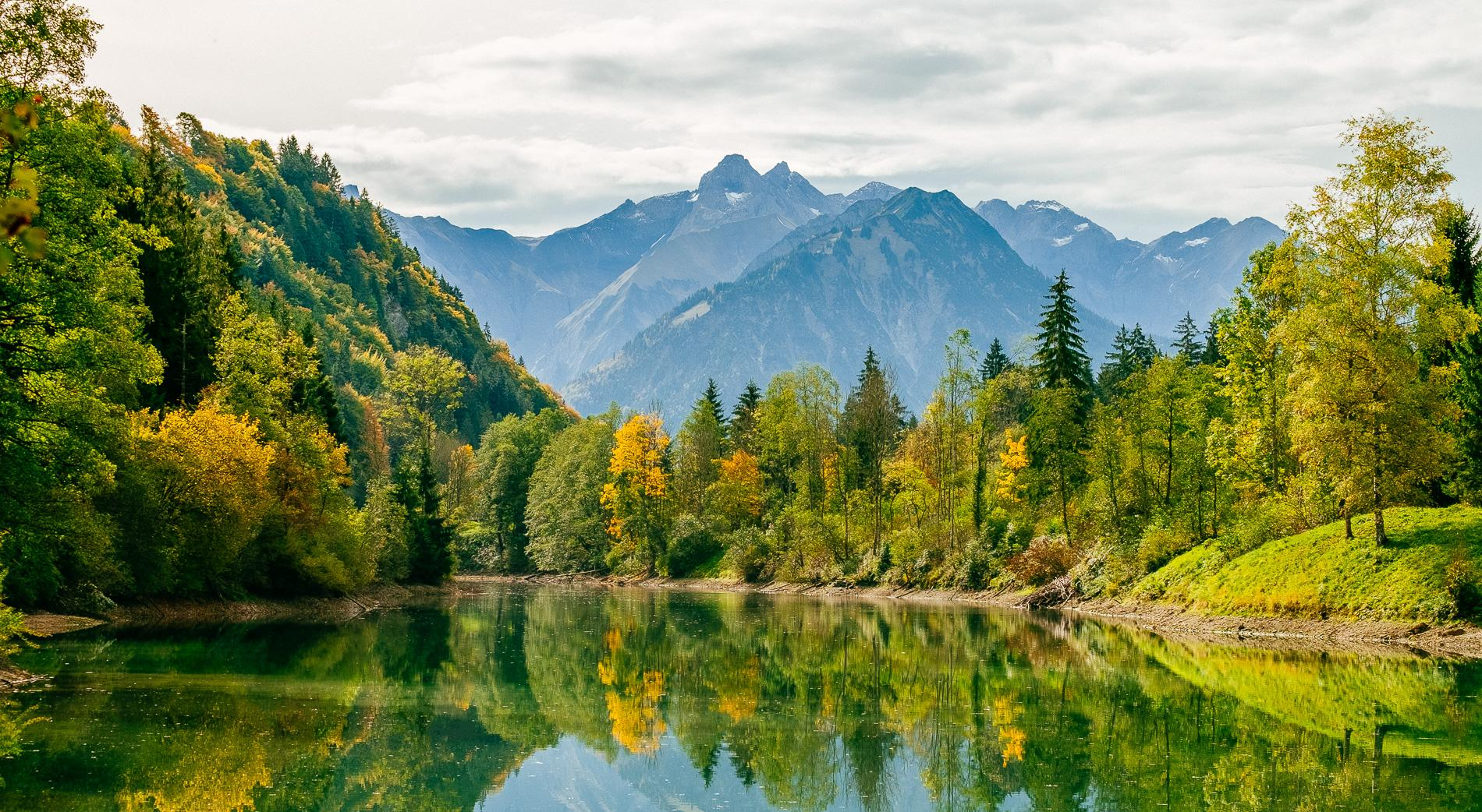
Golden Allgäu – autumn hiking in the Hörner villages

Hiking through Bavaria's cultural landscapes

Climbing Alpine peaks on the Route to the Top – Allgäu hiking trilogy
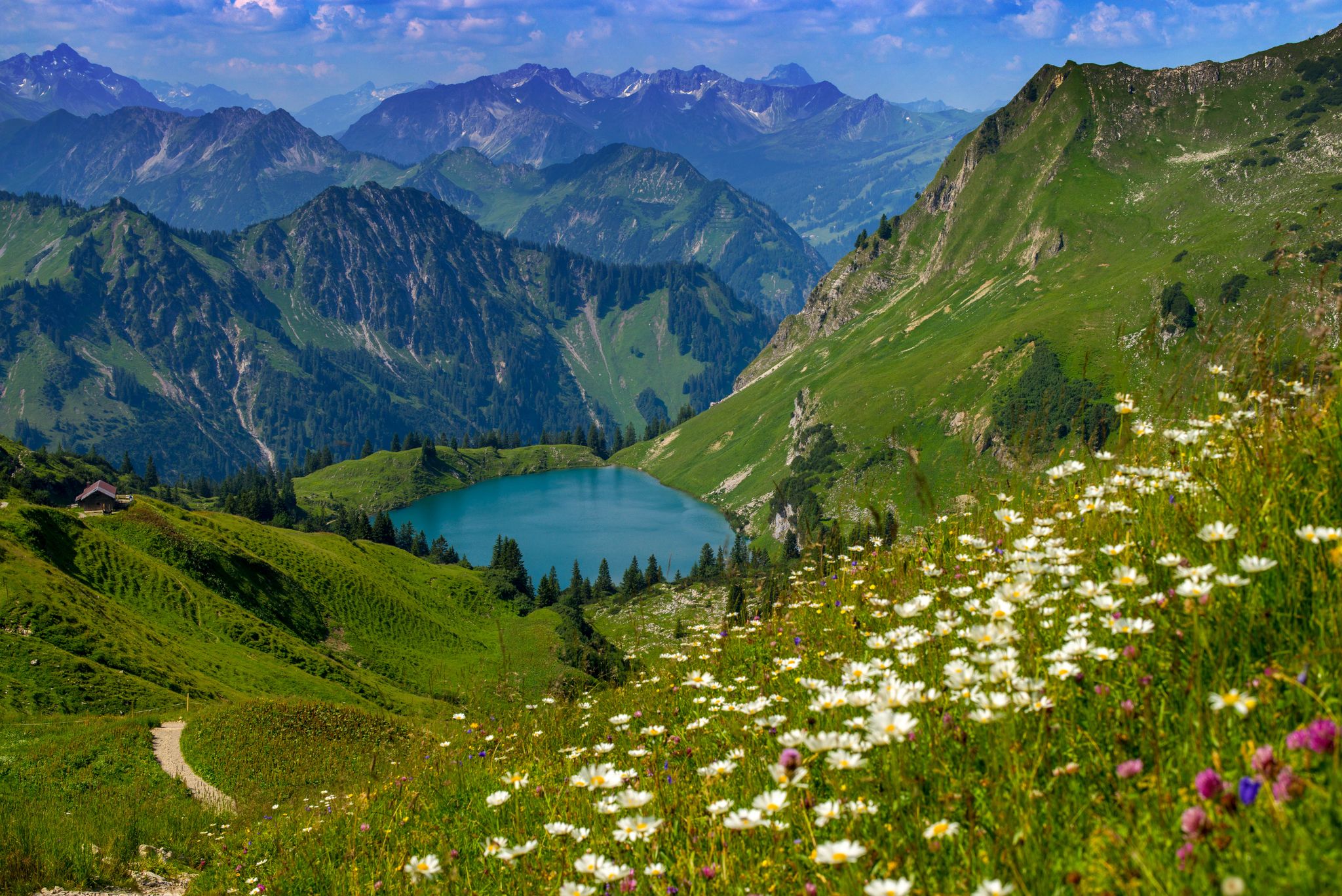
Bergwiesen im Allgäu – 8 Wanderungen über blühende Alpen
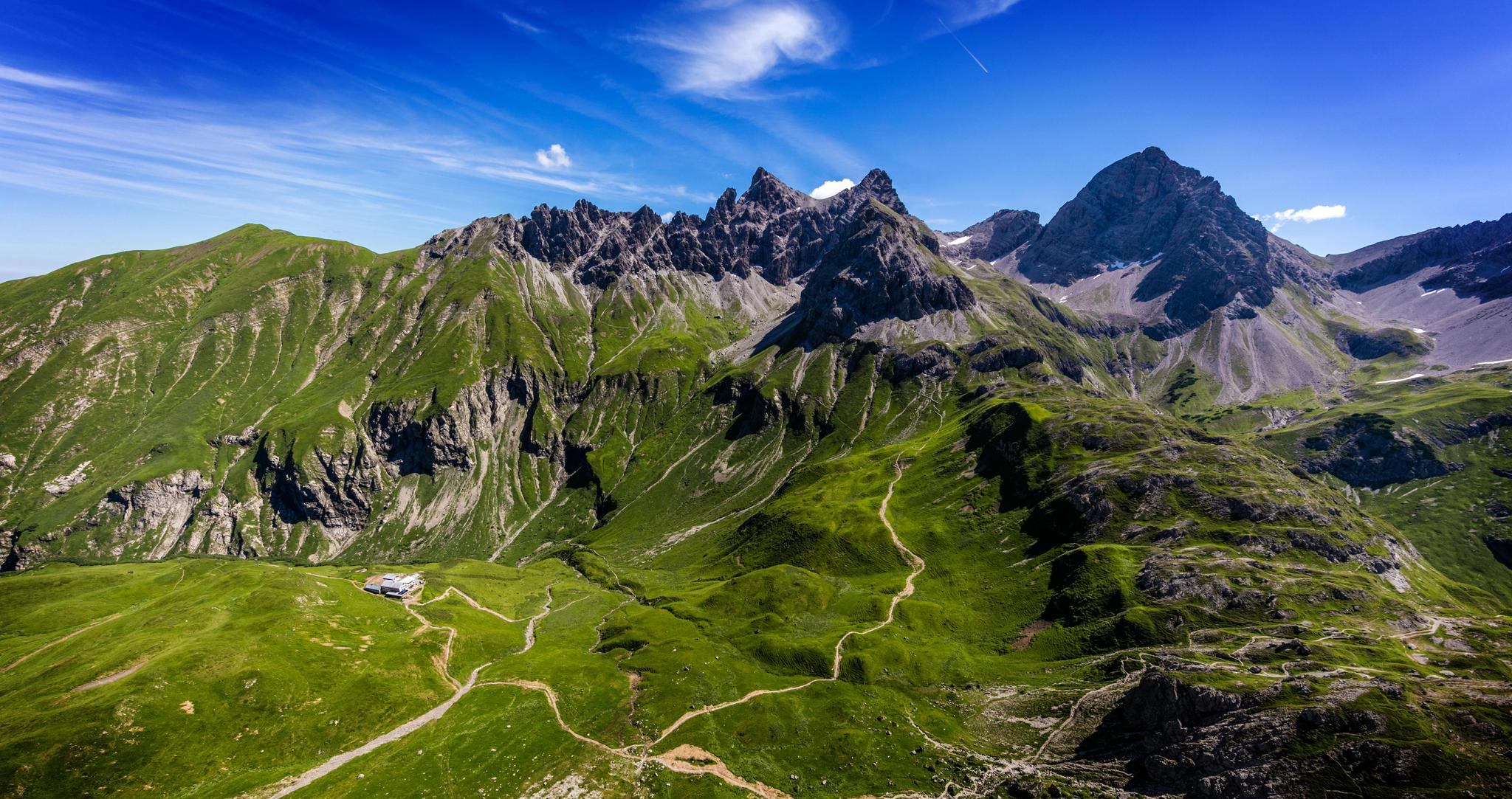
Alpenblick im Allgäu – 8 Wanderungen mit Bergpanorama
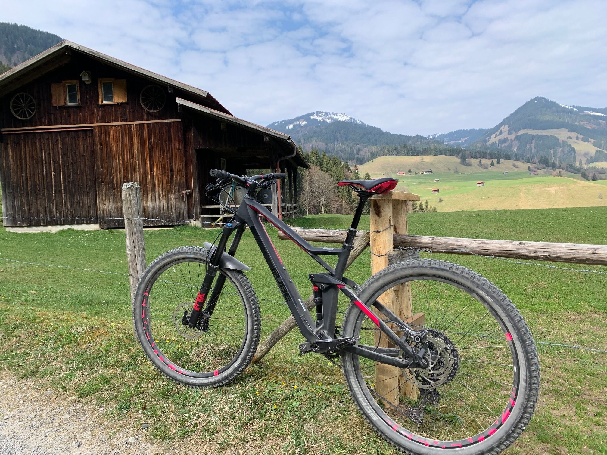
Hörnerdörfer - Radtouren
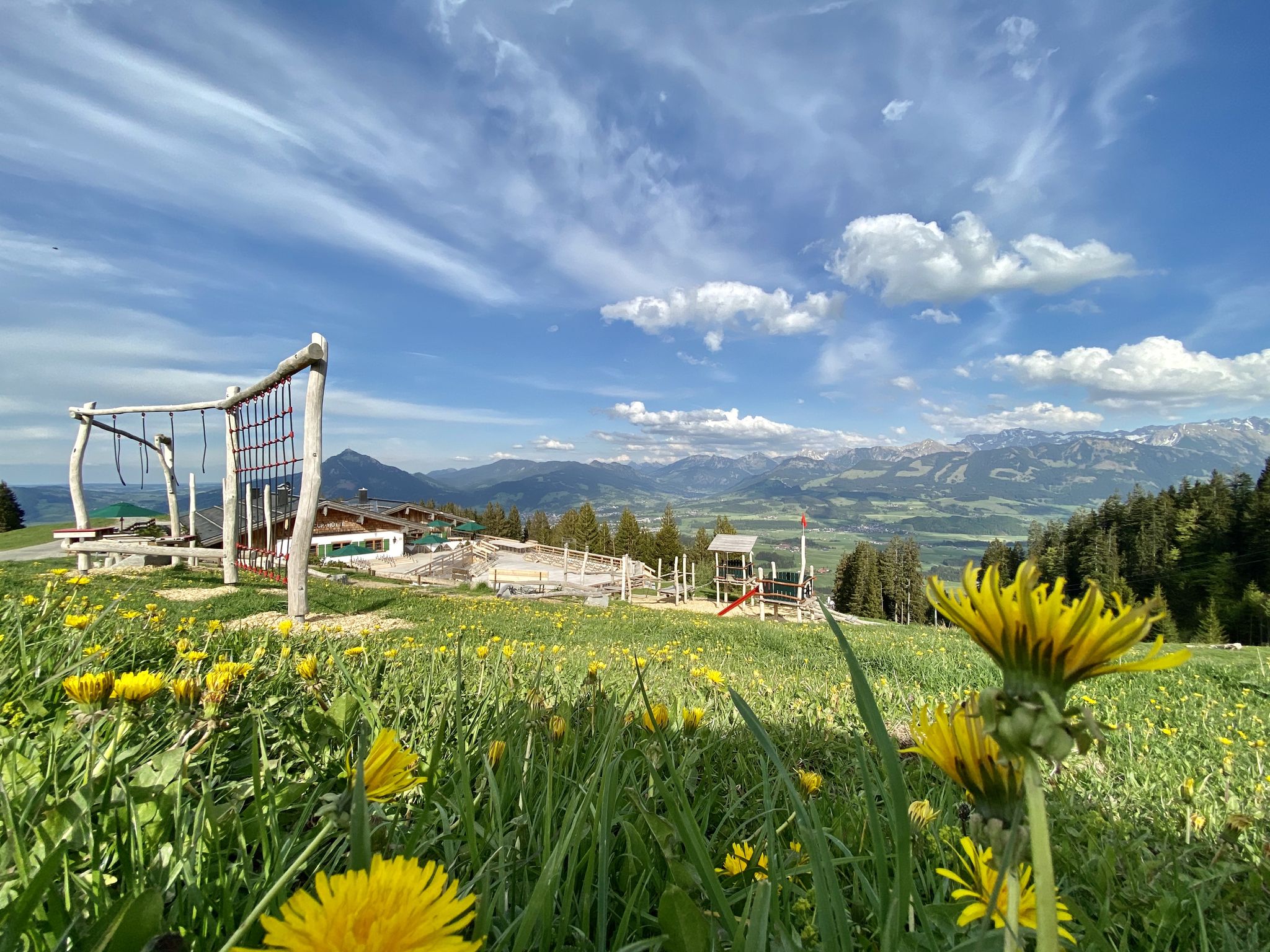
Hörnerdörfer - Themenwege
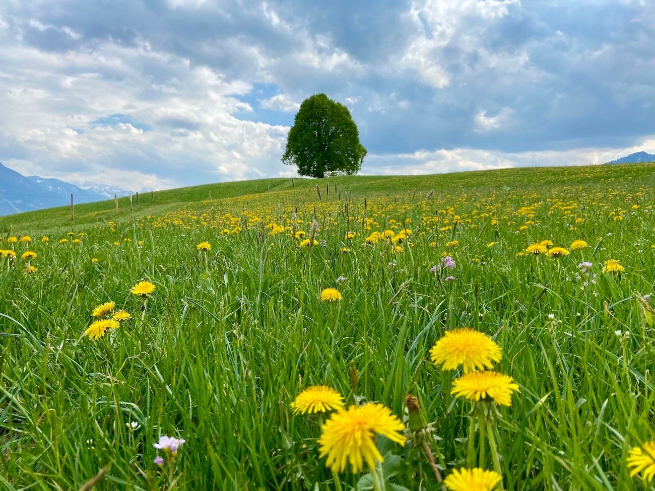
Hörnerdörfer - Idyllische Talwanderungen
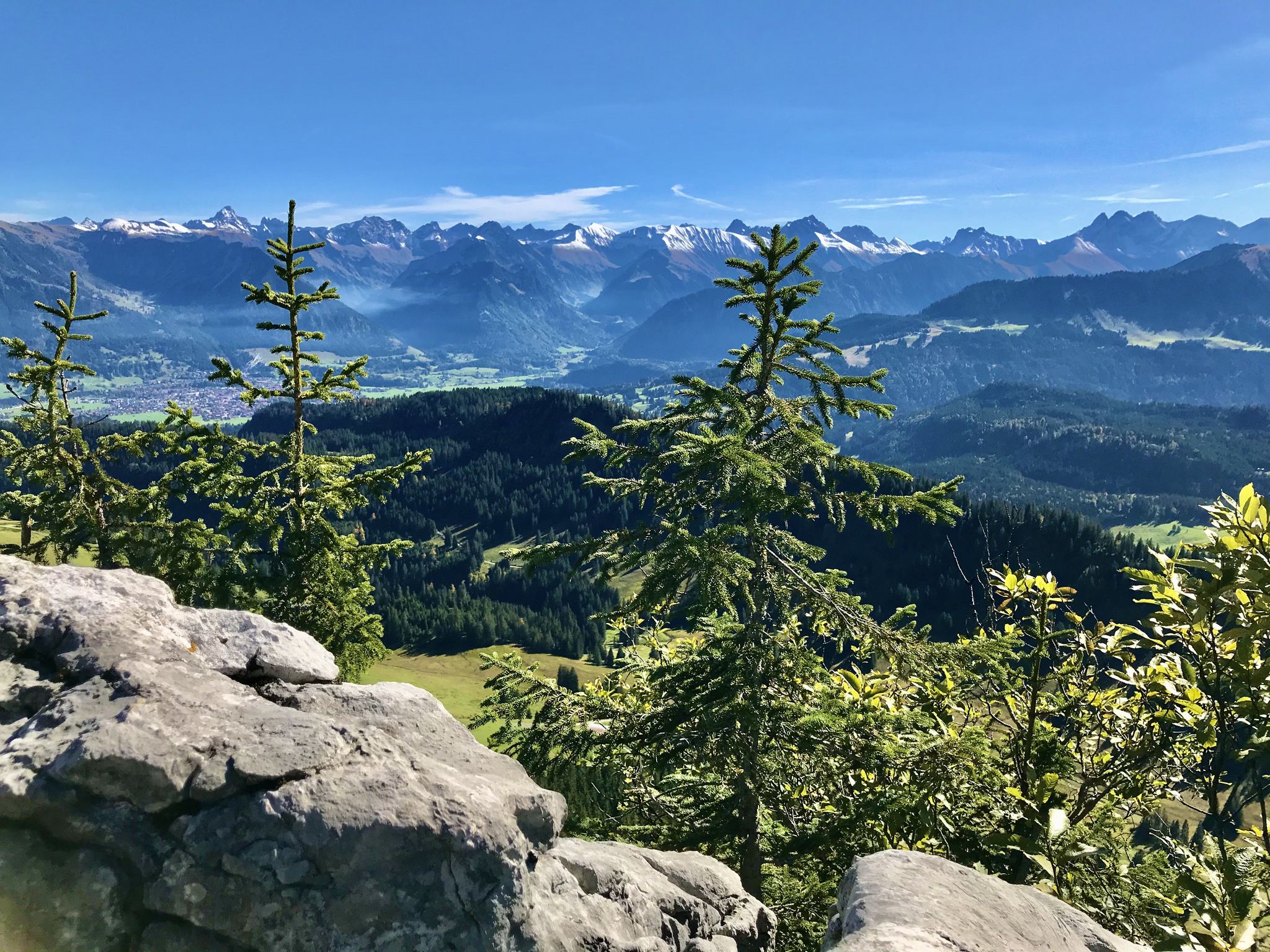
Hörnerdörfer - Aussichtsreiche Gipfelwanderungen
Other adventures around Bolsterlang


Tips from the Community

Beautiful view of the mountains from here.
0
0

a beautiful place in the middle of the Allgäu Alps
0
0

Oberjoch lettering on the roundabout
0
0

Despite the traffic, a beautiful and strenuous climb
0
0

Beautiful crossing over the Haldenwanger Bach. Two options: a) Use the bridge or, like a pensioner, speed through the ford -> resulting in wet feet. You'll be cursed.
1
0

The surface is very good and therefore very pleasant to ride. Along the way, you'll pass several huts where you can stop for refreshments. However, most of them don't open until late May/early June.
0
0

Beautiful city. The surrounding area is great for cycling.
1
0

Thanks to the flat valley floor, you can enjoy a good view of Oberstdorf. Behind it, the Himmelschrofen and many other peaks of the Allgäu Alps rise up.
1
0
Frequently Asked Questions
What kind of terrain can I expect when road cycling in Bolsterlang?
Bolsterlang, nestled in the Allgäu Alps, offers a diverse road cycling landscape. You'll find everything from green mountain meadows and hilly pre-Alps to challenging high mountains. Routes often traverse romantic river valleys, providing flatter sections, and wind through eastern uplands with rolling hills. Expect a mix of short, steep ramps, steady climbs, and scenic flat stretches.
Are there challenging mountain passes for experienced road cyclists in Bolsterlang?
Yes, for experienced road cyclists, the region offers demanding climbs. A significant highlight is the opportunity to cross the Riedberg Pass (1407 m), which is Germany's highest mountain pass road. This provides a demanding yet rewarding experience with breathtaking mountain panoramas after an exhaustive climb. You can experience a part of this challenge on the Riedberg Pass Summit – Riedberg Pass loop from Obermaiselstein.
What are some scenic highlights or natural features along the road cycling routes?
The region is rich in natural beauty. You'll cycle through the picturesque Nagelfluhkette Nature Park, offering blossoming landscapes and stunning vistas of the surrounding Alps. Routes often feature views of the Illertal and the Allgäu Alps. While not directly on road cycling routes, nearby natural features include the mystical water of the Breitach Gorge and the beautiful Freibergsee, the largest high mountain lake in the Allgäu.
How many road cycling routes are available around Bolsterlang?
There are over 200 road cycling routes around Bolsterlang, catering to a wide range of fitness levels and preferences. This includes 52 easy routes, 102 moderate routes, and 63 difficult routes, ensuring options for everyone from beginners to advanced riders.
What do other road cyclists enjoy the most about road cycling in Bolsterlang?
The road cycling routes in Bolsterlang are highly rated by the komoot community, with an average score of 4.6 stars from over 850 reviews. Cyclists often praise the diverse terrain, from scenic valley rides to challenging mountain passes, and the well-maintained, lightly trafficked side streets that make for serene rides.
Are there any easy road cycling routes suitable for beginners or a relaxed ride?
Yes, Bolsterlang offers several easy road cycling routes. These routes typically feature mostly well-paved surfaces and up to 1,000 ft of elevation gain, making them suitable for any fitness level. An example of a shorter, easier route is the Fischen im Allgäu – View of Grünten loop from Fischen.
Can I find circular road cycling routes or loops in Bolsterlang?
Yes, many of the road cycling routes around Bolsterlang are designed as loops, allowing you to start and end in the same location. Popular examples include the View of Grünten – Oberjoch Pass loop from Fischen and the Breitengehren Alp – Stillach Valley loop from Fischen.
What is the best time of year for road cycling in Bolsterlang?
The most popular months for road cycling in Bolsterlang are July and August, when the weather is generally warm and stable. However, the season typically extends from late spring to early autumn, offering pleasant conditions for exploring the diverse landscapes.
Are there any interesting landmarks or attractions near the cycling routes?
Beyond the natural beauty, you can find historical landmarks. For example, the Burgberg Castle Ruins and Fluhenstein Castle Ruins are nearby, offering glimpses into the region's past. Many routes also provide stunning viewpoints, such as the View of the Gaisalpsee waterfall.
Are there options for family-friendly road cycling in Bolsterlang?
While many routes involve significant elevation, there are options suitable for families or those seeking less strenuous rides. Look for routes categorized as 'easy' which often feature mostly well-paved surfaces and lower elevation gains, ideal for a relaxed family outing. The region's romantic river valleys often provide gentler terrain.
Is there parking available for road cyclists in Bolsterlang?
Yes, Bolsterlang and the surrounding towns like Fischen, which serve as common starting points for many routes, offer various parking facilities. It's advisable to check local signage for specific parking regulations and availability, especially during peak season.
Can I access higher altitudes or mountain trails with a cable car in Bolsterlang?
While road cycling routes primarily stick to roads, the Hörnerbahn Bolsterlang cable car is available to transport visitors to higher altitudes. This can provide access to mountain trails for other activities like hiking, offering stunning views and a different perspective of the Alpine landscape.
Most popular routes around Bolsterlang
Most popular attractions around Bolsterlang

Get inspired with the komoot mobile app


Explore more
Browse the best Road cycling routes in other regions.
