The best walks and hikes around Bolsterlang
4.5
(5316)
21,848
hikers
100
hikes
Hiking around Bolsterlang offers diverse landscapes within the Allgäu Alps and Nagelfluhkette Nature Park. Situated at approximately 900 meters above sea level, the region features rugged mountain peaks, green mountain lakes, shaded forests, and open meadows. The terrain varies from easily accessible paths to challenging alpine routes, providing options for all skill levels.
Best hiking trails around Bolsterlang
- The most popular hiking route is View of the Allgäu Main Ridge – Riedberger Horn summit cross loop from Riedbergpass, a…
Last updated: September 29, 2026
4.8
(314)
1,190
hikers
6.10km
02:23
190m
410m
Moderate hike. Good fitness required. Mostly accessible paths. Sure-footedness required.
4.9
(102)
401
hikers
16.9km
06:26
910m
910m
Hard hike. Very good fitness required. Mostly accessible paths. Sure-footedness required.

4.8
(426)
1,689
hikers
Moderate hike. Good fitness required. Mostly accessible paths. Sure-footedness required.
5.0
(7)
20
hikers
10.9km
04:27
870m
400m
Moderate hike. Good fitness required. Mostly accessible paths. Sure-footedness required.
4.9
(10)
23
hikers
11.2km
04:35
890m
420m
Moderate hike. Good fitness required. Mostly accessible paths. Sure-footedness required.
Get access to more routes and recommendations from other explorers.
Already have an account?
Our route recommendations are based on thousands of hikes, rides, and runs completed by other people on komoot.
Start today with a free account
Your next adventure awaits.
Popular around Bolsterlang

The Best of Allgäu – Tour around Oberallgäu
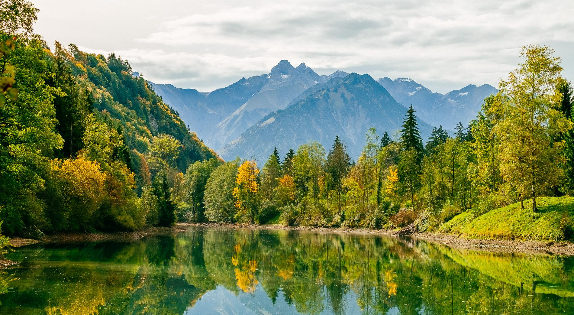
Golden Allgäu – autumn hiking in the Hörner villages

Hiking through Bavaria's cultural landscapes

Climbing Alpine peaks on the Route to the Top – Allgäu hiking trilogy
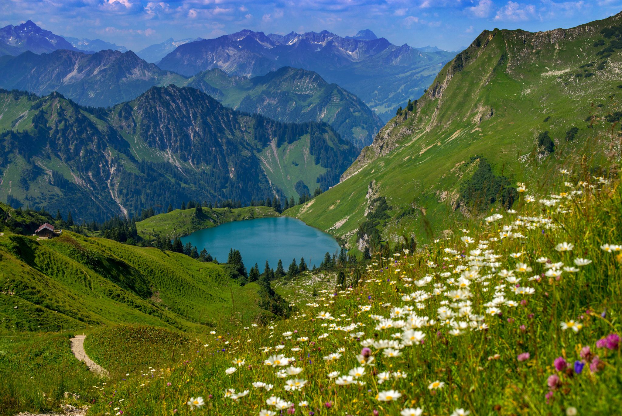
Bergwiesen im Allgäu – 8 Wanderungen über blühende Alpen
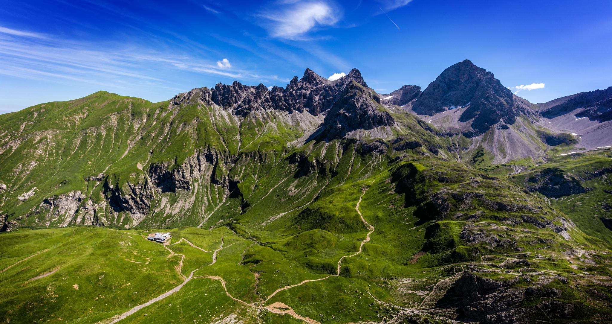
Alpenblick im Allgäu – 8 Wanderungen mit Bergpanorama
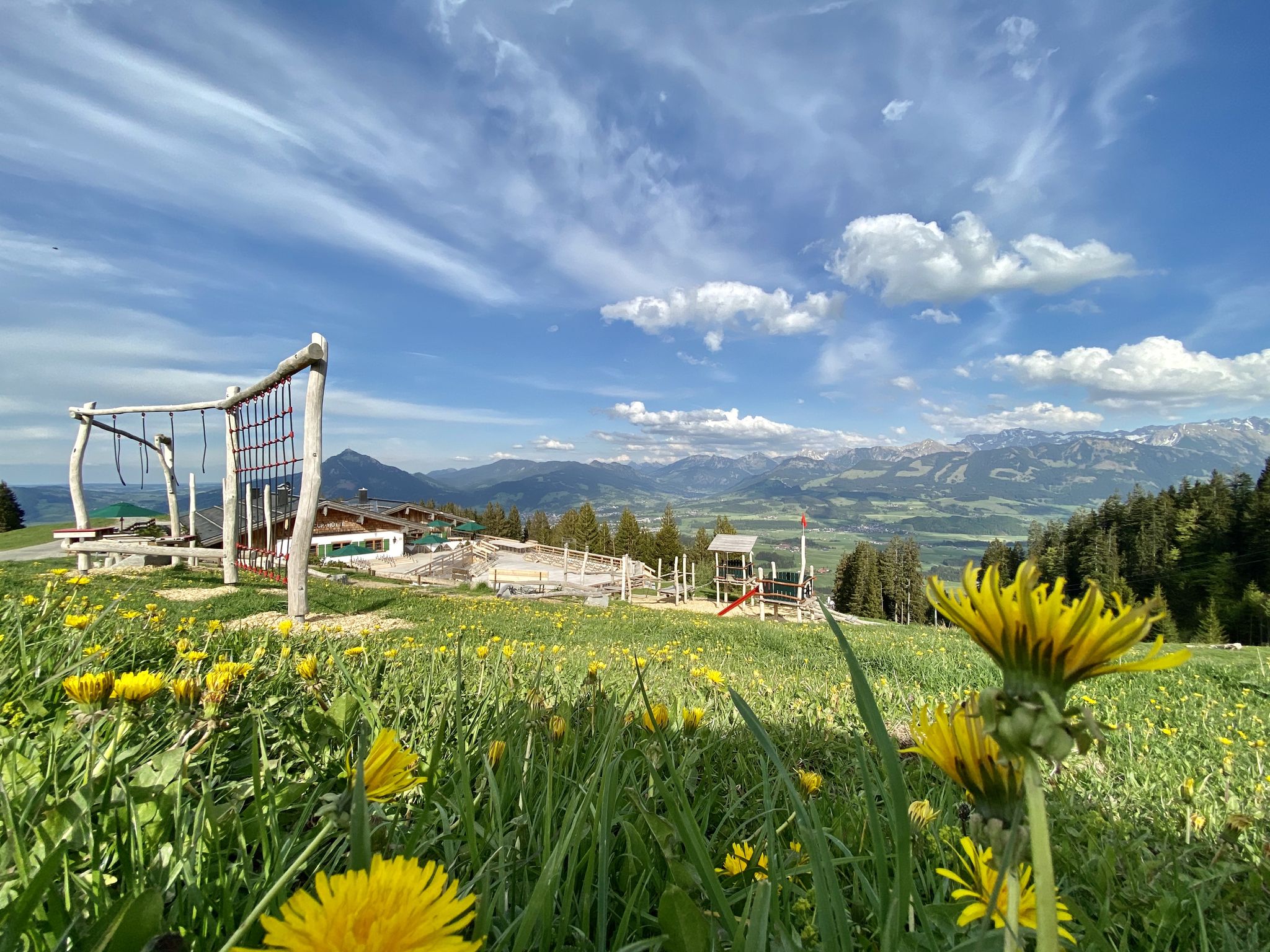
Hörnerdörfer - Themenwege
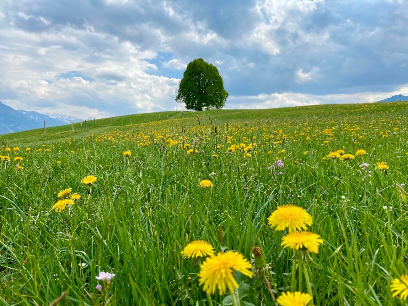
Hörnerdörfer - Idyllische Talwanderungen
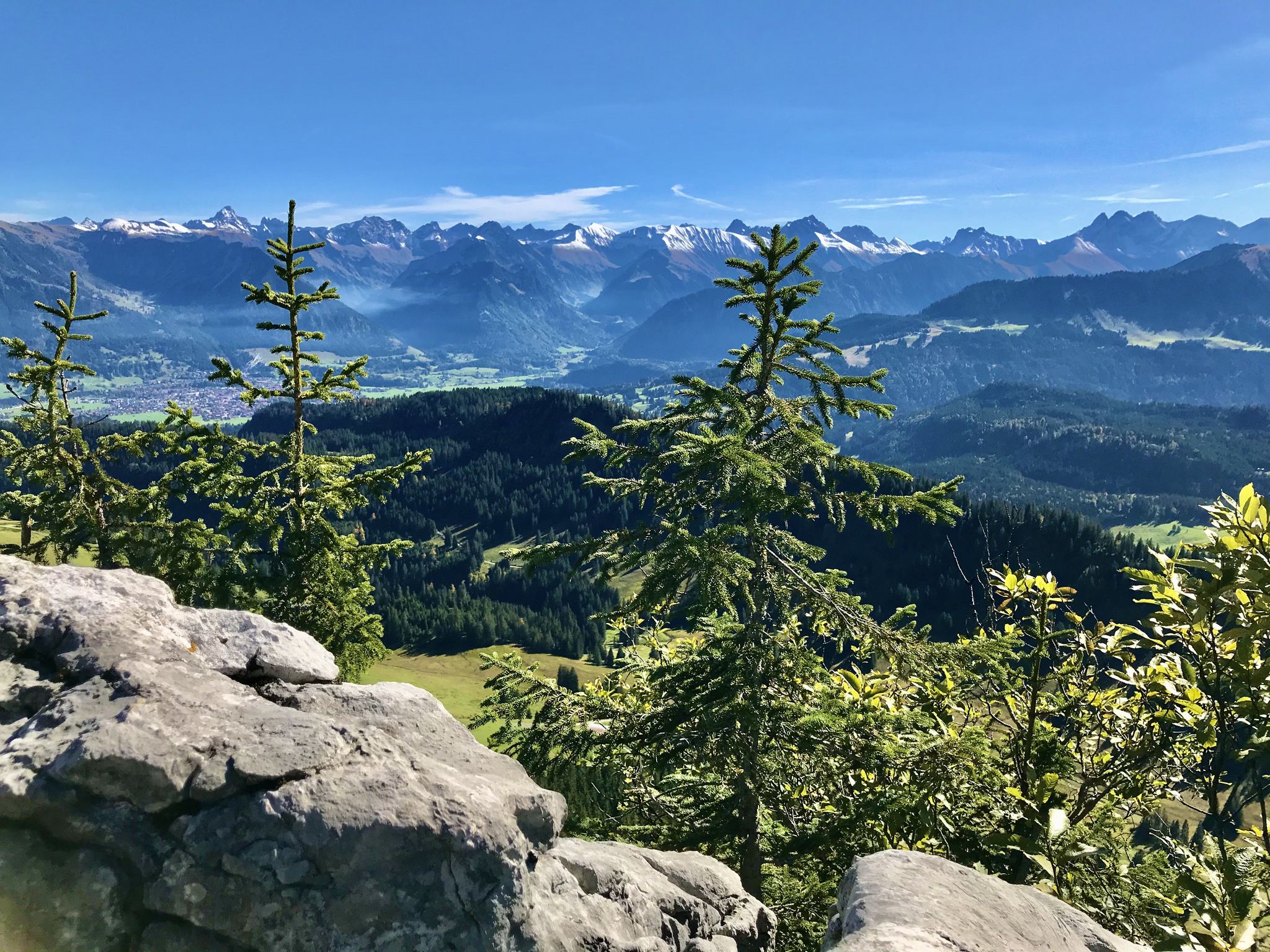
Hörnerdörfer - Aussichtsreiche Gipfelwanderungen
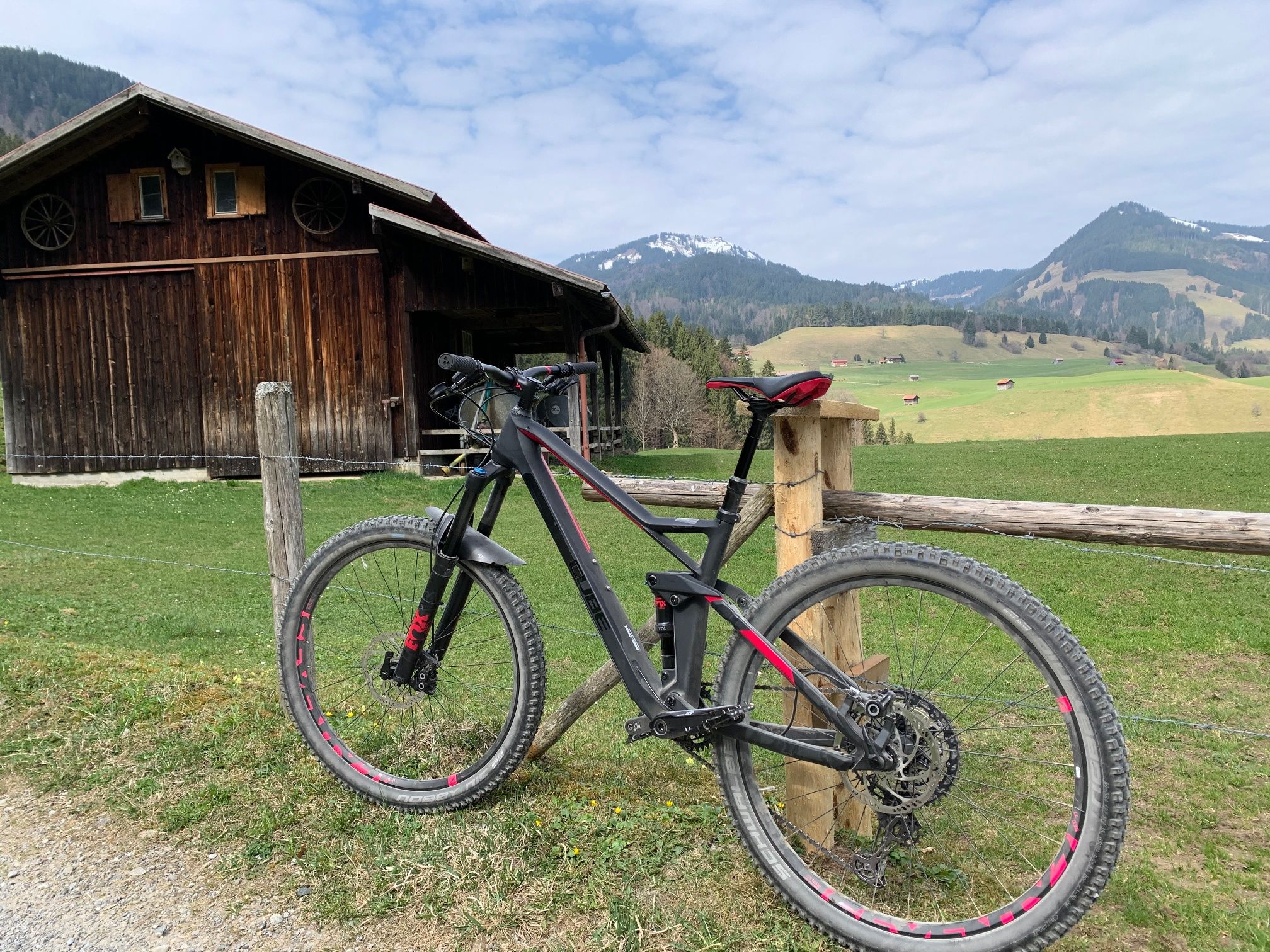
Hörnerdörfer - Radtouren
Other adventures around Bolsterlang


Tips from the Community

Hochvogel is visible in the distance.
0
0

From here you can enjoy a sweeping view of the Allgäu main ridge, whose peaks and ridges stand out like a jagged line on the horizon. On clear days, you can easily distinguish the distinctive mountains from one another and trace their course across the valley. An ideal panoramic stop to breathe in the fresh air, take photos, and marvel at the Allgäu Alps.
4
0
At the summit of the Riedberger Horn, you can enjoy a wide panoramic view over the Nagelfluhkette, the Allgäu Alps and down to Grasgehren. With clear visibility, the panorama extends to the Ifen and far into the Alpine foothills. A perfect place for a longer break, a summit photo and a few minutes of summit bliss.
3
0

After the final short climb, you can now enjoy the view from the summit cross. Three benches and tables invite you to enjoy a snack on the mountain. If the weather is nice, you can also take a break directly on the meadow.
4
0

Very nice mountain inn with a great beer garden and delicious food
3
0

A great highlight on this hiking trail: climbing over a hanging root!
0
0

Beautiful raised bog with viewing platform and walkways, but it can still get very wet after rainy days.
0
0

At 1,520 meters, between Weiherkopf and Riedbergerhorn, with magnificent views. A mountain restaurant (home-style cooking and hearty snacks) and accommodations are available in the Bolgental Valley near Bolsterlang.
2
0
Frequently Asked Questions
How many hiking trails are available around Bolsterlang?
There are nearly 100 hiking trails around Bolsterlang, offering a wide range of experiences from easy strolls to challenging alpine ascents. The region provides diverse terrain suitable for various fitness levels.
Are there family-friendly hiking options in Bolsterlang?
Yes, Bolsterlang offers many easily accessible paths suitable for families. These trails often traverse meadows and forests, providing gentle gradients and scenic views without extensive ascents. Look for routes categorized as 'easy' for the most family-friendly experiences.
Can I bring my dog on the hiking trails in Bolsterlang?
Many trails in Bolsterlang are dog-friendly, allowing you to explore the beautiful Allgäu Alps with your canine companion. However, it's always recommended to keep dogs on a leash, especially in nature protection areas or near grazing livestock, and to check specific trail regulations before you go.
What kind of natural attractions can I see while hiking in Bolsterlang?
Bolsterlang is surrounded by stunning natural attractions. You can explore unique geological formations like the Breitach Gorge, one of Europe's deepest rocky gorges, or visit serene lakes such as Freibergsee. There are also beautiful waterfalls like the Hinanger Waterfall, offering picturesque spots along your hike.
Are there any circular hiking routes in Bolsterlang?
Yes, Bolsterlang features several excellent circular hiking routes. For example, the challenging Riedberger Horn loop from Bolgengrat Südseite offers a rewarding circuit with significant elevation changes and panoramic views. Many other trails also provide loop options to bring you back to your starting point.
What is the best time of year to go hiking in Bolsterlang?
The best time for hiking in Bolsterlang is typically from late spring to early autumn (May to October). During these months, the weather is generally pleasant, and trails are clear of snow. Summer offers lush green landscapes, while autumn brings vibrant foliage. Winter also offers opportunities for snowshoeing and winter hiking.
Where can I find parking for hiking trails in Bolsterlang?
Parking is generally available at key trailheads and popular starting points around Bolsterlang. Specific parking information can often be found on individual route descriptions or local tourist information sites. Many routes, like those starting from Riedbergpass, have designated parking areas.
Are there challenging hikes for experienced hikers in Bolsterlang?
Absolutely. Bolsterlang, situated in the Allgäu Alps, offers challenging alpine routes that require sure-footedness and alpine experience. Trails like the Riedberger Horn loop from Bolgengrat Südseite or the Ochsenkopf summit cross loop from Hörnergruppe provide significant elevation gains and demanding terrain, rewarding hikers with spectacular panoramic views.
What do other hikers enjoy most about hiking in Bolsterlang?
The hiking experience in Bolsterlang is highly rated by the komoot community, with an average score of 4.6 stars from over 4,200 reviews. Hikers often praise the diverse landscapes, from rugged mountain peaks to green meadows, and the stunning panoramic views across the Nagelfluhkette and Allgäu Alps.
Are there places to eat or drink along the hiking routes?
Yes, many hiking routes in Bolsterlang pass by cozy restaurants and rustic huts where you can take a break and enjoy traditional cuisine or hearty snacks. Popular spots include Alpe Ornach, Berghaus Schwaben, and Talhütte Bolsterlang, often offering magnificent mountain views alongside your meal.
Can I use public transport to reach hiking trailheads in Bolsterlang?
Public transport options are available to reach Bolsterlang and some trailheads. Local bus services connect Bolsterlang with surrounding areas. It's advisable to check the current bus schedules and routes to plan your journey to specific starting points for your hike.
Are there any easy hikes suitable for beginners in Bolsterlang?
Yes, Bolsterlang offers a good selection of easy hikes perfect for beginners or those looking for a relaxed stroll. These trails typically feature well-maintained paths through forests and meadows with minimal elevation changes, allowing you to enjoy the natural beauty without strenuous effort.
Most popular routes around Bolsterlang
Most popular attractions around Bolsterlang

Get inspired with the komoot mobile app


Explore more
Browse the best Hikes in other regions.
