The best road cycling routes in Bidjigal Reserve
4.7
(57)
3,120
riders
75
rides
Road cycling routes near Bidjigal Reserve traverse the surrounding areas of this natural park, which is characterized by forested valleys, rugged sandstone cliffs, and towering eucalyptus trees. While the reserve itself features unpaved bush tracks and fire trails more suited for mountain biking, road cycling routes in the vicinity utilize paved roads that offer diverse terrain. These routes often include sections with varied elevation, providing a mix of climbs and descents. The landscape transitions from dense bushland to more open…
Last updated: October 19, 2026
36
riders
62.0km
03:05
410m
410m
Moderate road ride. Good fitness required. Mostly well-paved surfaces and easy to ride.
4.0
(1)
29
riders
56.1km
02:53
780m
780m
Moderate road ride. Good fitness required. Mostly well-paved surfaces and easy to ride.

12
riders
48.5km
02:42
470m
470m
Moderate road ride. Good fitness required. Mostly well-paved surfaces and easy to ride.
6
riders
82.2km
04:08
640m
640m
Moderate road ride. Good fitness required. Mostly well-paved surfaces and easy to ride.
36
riders
21.2km
01:07
170m
170m
Easy road ride. Great for any fitness level. Mostly well-paved surfaces and easy to ride.
Get access to more routes and recommendations from other explorers.
Already have an account?
Our route recommendations are based on thousands of hikes, rides, and runs completed by other people on komoot.
Start today with a free account
Your next adventure awaits.
Popular around Bidjigal Reserve
Tips from the Community

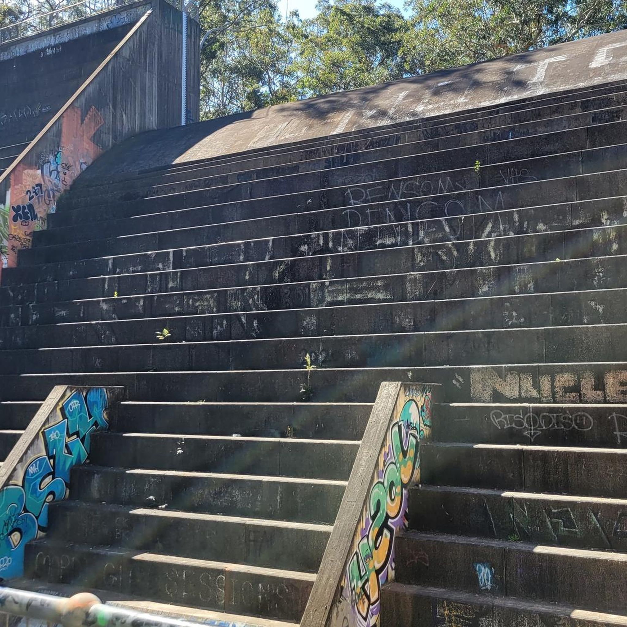
Samuel King Oval gets its name from an Irish-born orchardist who settled the area in the 1850s and became a notable supporter of the community. Today, it's a local hub for recreation, with a synthetic cricket wicket, a soccer pitch, floodlights, and a playground, sitting right at the edge of the bushland trails that follow Lovers Jump Creek, Cowan Creek and beyond.
0
0
Empire Marina Bobbin Head sits within Ku-ring-gai Chase National Park and is the gateway to the waterways of Cowan Creek, Broken Bay, and the Hawkesbury River. It’s also the site of the historic Halvorsen boatshed, once home to the family’s famous hire fleet from the 1950s. Today it offers berths, moorings, and boat hire, and is a popular stop for boaties, walkers, and cyclists. Right on the water is Waterside Bistro, which serves casual breakfast and lunch fare seven days a week, making this a relaxed spot to stop in whether on foot or by bike.
0
0

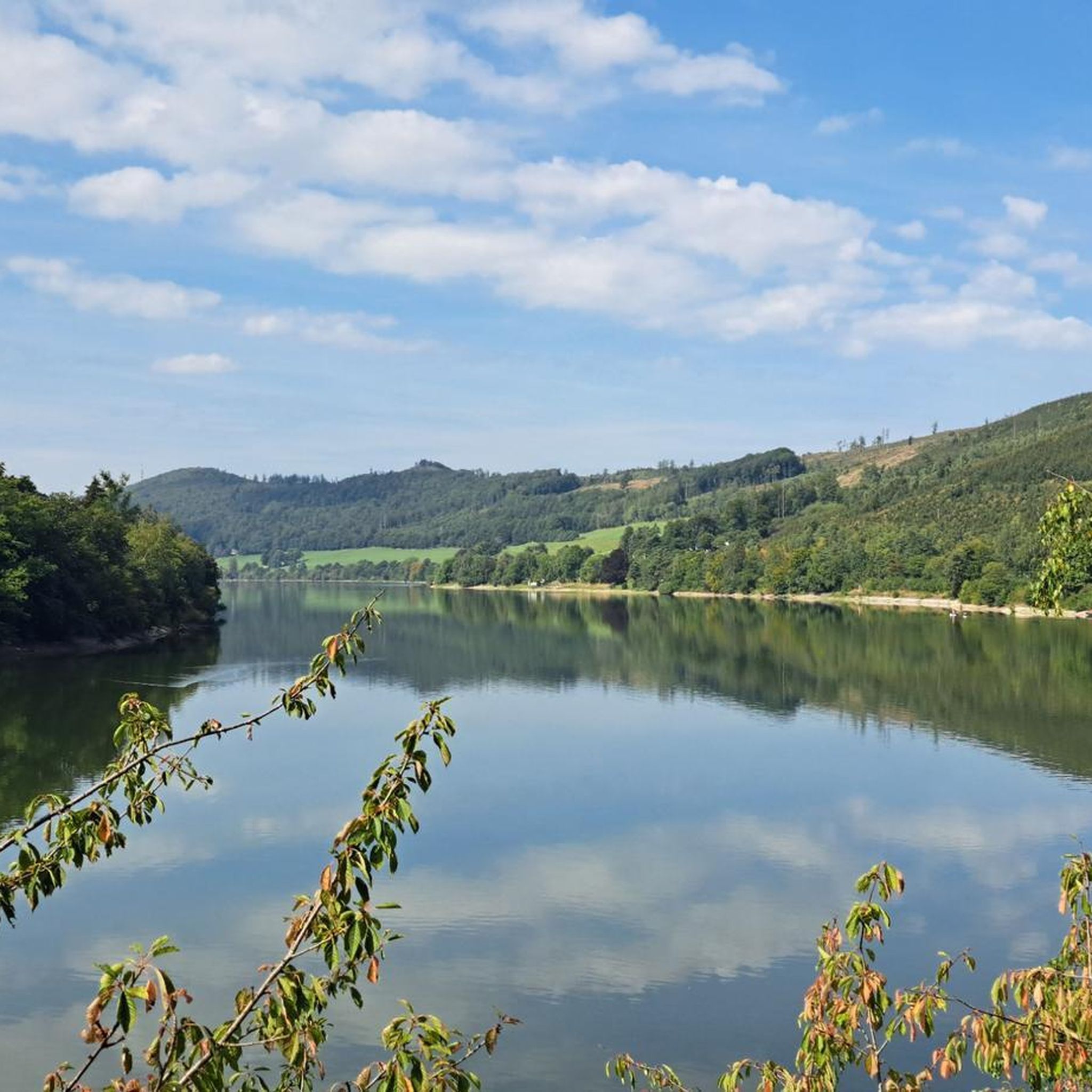
Bobbin Head is a large recreation area offering tons of attractions and facilities. It is a popular area to bushwalk, paddle, picnic, or go fishing, as well as dine, with educational opportunities. The public facilities here include barbecues, picnic tables, a children's playground, toilets, shelters and plenty of green space for a frisbee session or a cricket game. If you're hungry, there's a range of places to buy food like the Bobbin Head Inn Café, Waterside Bistro, and Empire Marina Bobbin Head. Head to the Bobbin Head Visitor Centre and learn through displays and video stories about local Aboriginal cultural heritage and the importance of the natural environment in Ku-ring-gai Chase National Park.
1
0

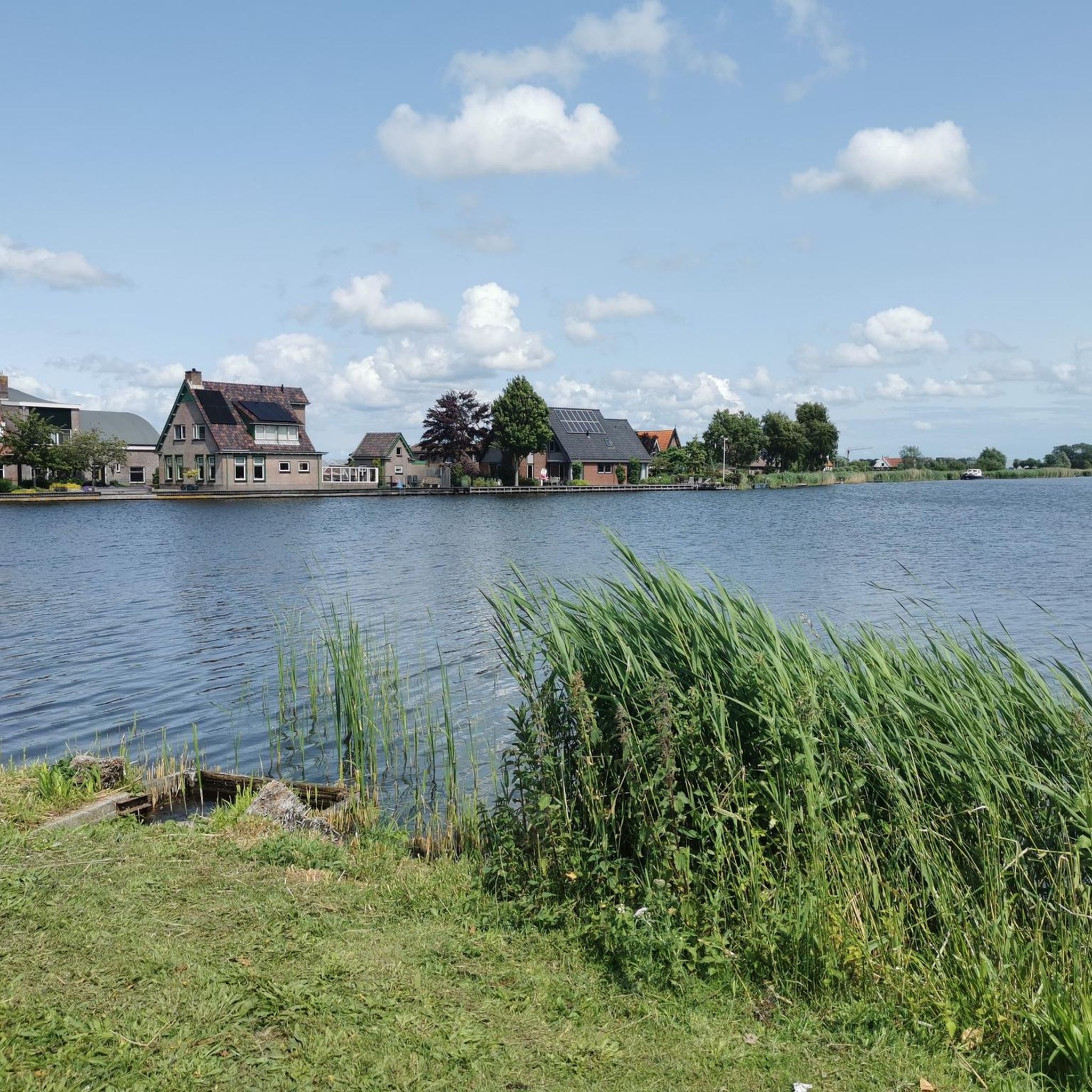
This shared-use path connects Richmond to the Hawkesbury Showground, passing facilities such as a tennis centre and playground along the way. The flat, paved surface makes this an ideal choice for just about anyone. It's an out and back path you feel free to go as far as you like and turn around when you're ready.
0
0
Located between an RAAF base and the Hawkesbury Racecourse, this livestock showground has more to offer than one might think. Of course there are facilities for showing cattle and other livestock but there's also a campground, exhibitor pavilions, and room to host a wide array of events throughout the year.
0
0
Parramatta Valley Cycleway is a mostly flat shared walking and cycling route that follows the Parramatta River through western Sydney, connecting Parramatta Park with several riverside reserves, wetlands, and Sydney Olympic Park. The route is a lovely combination of dedicated paths, boardwalks, and quiet foreshore sections, with plenty of views across the river and surrounding parklands. The riverside scenery, native vegetation, and mix of urban and natural landscapes make it a picturesque and accessible way to explore the Parramatta region by bike or on foot.
0
0
Tunks Creek Bridge is a historic truss road bridge spanning its namesake creek in Galston Gorge. The bridge was built between 1893-94 and spans 20 metres across the creek. It was added to the on the New South Wales State Heritage Register in June of 2000.
0
0

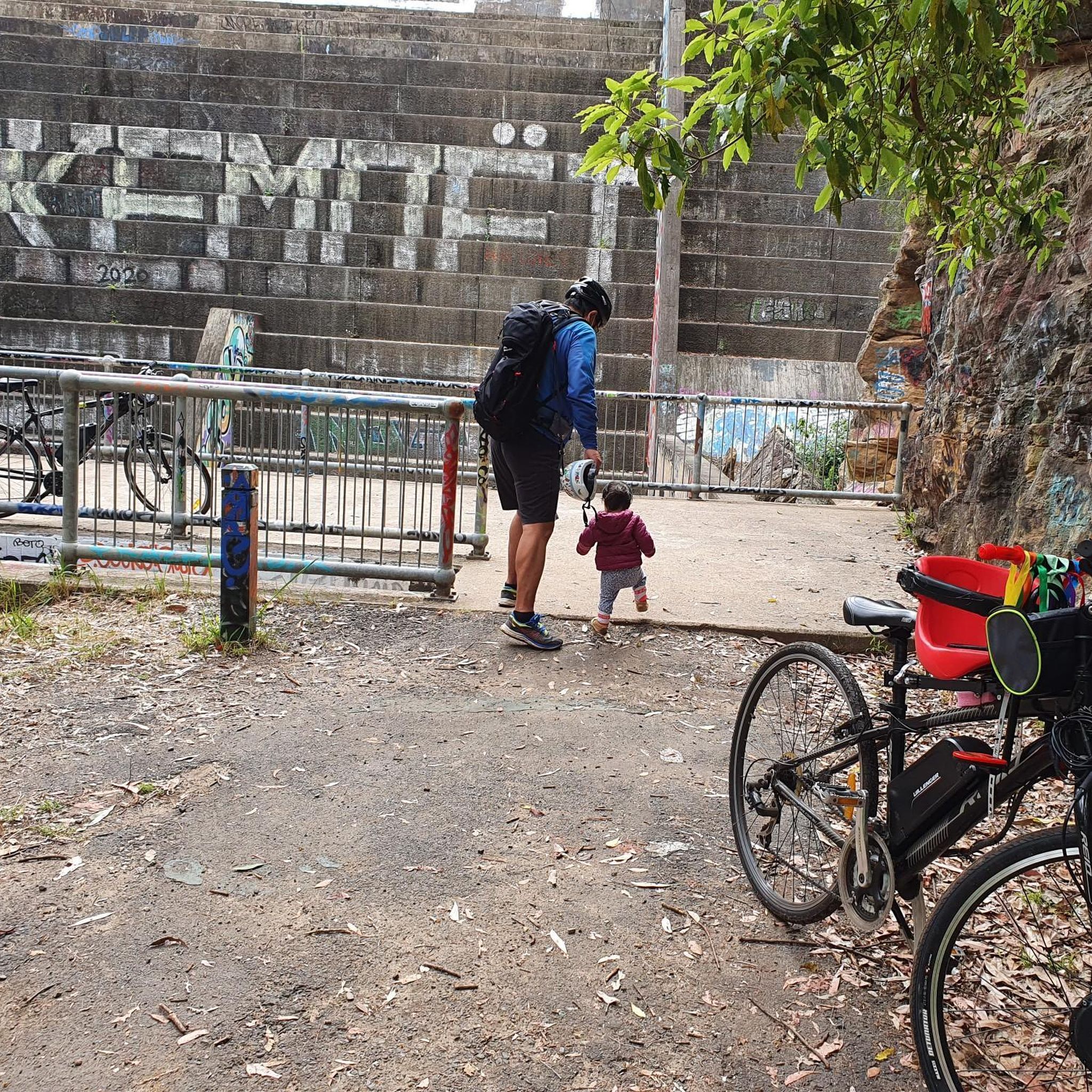
I love riding along the Cycleway, especially the sections where they have separate the pedestrians from the cyclists
0
0
Frequently Asked Questions
How many road cycling routes are available in the Bidjigal Reserve area?
There are over 85 road cycling routes in the vicinity of Bidjigal Reserve, offering a wide range of options for different skill levels. These routes primarily utilize paved roads surrounding the reserve, as the reserve itself is characterized by unpaved bush tracks.
What kind of terrain can I expect on road cycling routes near Bidjigal Reserve?
Road cycling routes near Bidjigal Reserve traverse varied terrain, including surrounding forested areas, past sandstone formations, and along local roads. You can expect a mix of climbs and descents, with routes ranging from easy to difficult. The landscape transitions from dense bushland to more open suburban roads, providing diverse scenic experiences.
Are there routes suitable for beginners or families?
Yes, there are routes suitable for beginners and families. Approximately 29 of the routes in the Bidjigal Reserve area are classified as easy, offering gentler gradients and less demanding distances. These routes are perfect for those looking for a relaxed ride.
Are there challenging routes for experienced road cyclists?
Experienced road cyclists will find challenging options in the Bidjigal Reserve area. There are 11 routes classified as difficult, featuring significant elevation gains and longer distances. For example, the Hawkins Lookout – Norwest Lake loop from Castle Hill is a demanding 126 km route with over 1200 meters of elevation gain.
What do other road cyclists say about the routes in the Bidjigal Reserve area?
The road cycling routes in the Bidjigal Reserve area are highly rated by the komoot community, with an average score of 4.8 stars from over 50 reviews. More than 3,400 road cyclists have used komoot to explore the varied terrain, often praising the scenic views and diverse cycling experiences.
Are there any notable landmarks or natural features along the road cycling routes?
While the road cycling routes primarily skirt the reserve, they offer views of the surrounding natural beauty. Bidjigal Reserve itself is known for its rugged sandstone cliffs, towering eucalyptus trees, and shady rainforest patches. Routes like The Convicts Vista loop from Cherrybrook provide various viewpoints of the area's landscape.
Can I access the road cycling routes near Bidjigal Reserve by public transport?
Access to the general Bidjigal Reserve area is possible via public transport, though specific access points for road cycling routes may vary. It's advisable to plan your route and check local bus or train services that connect to the towns and suburbs bordering the reserve, such as Cherrybrook or Castle Hill, where many routes originate.
Where can I find parking for road cycling near Bidjigal Reserve?
Parking for road cycling is generally available in the suburban areas surrounding Bidjigal Reserve, particularly near the starting points of many routes in towns like Cherrybrook or Castle Hill. Look for public parking facilities or street parking in these residential areas, ensuring you adhere to local parking regulations.
Do I need a permit to road cycle in the Bidjigal Reserve area?
No, you do not typically need a permit for road cycling on the public roads surrounding Bidjigal Reserve. The permit requirements usually apply to activities within the reserve's unpaved bush tracks and fire trails, which are primarily for bushwalking and mountain biking.
What is the best time of year to go road cycling near Bidjigal Reserve?
The best time for road cycling near Bidjigal Reserve is generally during the cooler months of autumn and spring, when temperatures are mild and comfortable. Summer can be quite hot, while winter mornings can be chilly but often lead to pleasant daytime riding conditions.
Are there any loop routes available for road cycling?
Yes, many of the road cycling routes in the Bidjigal Reserve area are designed as loops, allowing you to start and finish at the same point. Examples include the popular Bobbin Head Picnic Area – Bobbin Head loop from Cherrybrook and the Windsor Cakes – Hawkesbury River Bridge loop from Cherrybrook.
How long do road cycling routes in this area typically take to complete?
The duration of road cycling routes varies significantly based on distance and difficulty. Shorter, easier routes might take an hour or two, while longer, more challenging routes can take several hours. For instance, the Bobbin Head Picnic Area – Bobbin Head loop typically takes around 2 hours 52 minutes, while the Windsor Cakes – Hawkesbury River Bridge loop often takes about 4 hours 4 minutes.
Most popular routes in Bidjigal Reserve

Get inspired with the komoot mobile app


Explore more
Browse the best Road cycling routes in other regions.
