The best road cycling routes in Bullen Range Nature Reserve
4.4
(41)
1,760
riders
74
rides
Road cycling routes in Bullen Range Nature Reserve traverse a landscape characterized by rolling hills, open woodlands, and proximity to the Murrumbidgee River corridor in the Australian Capital Territory. The terrain offers a mix of gentle gradients and more challenging climbs, suitable for various fitness levels. Road cyclists can expect to encounter varied natural environments, from riverine plains to elevated areas providing expansive views. The region's road network provides access to both natural areas and points of interest.
Best road…
Last updated: July 16, 2026
14
riders
Moderate road ride. Good fitness required. Mostly well-paved surfaces and easy to ride.
11
riders
105km
05:39
1,740m
1,740m
Hard road ride. Very good fitness required. Some segments of this route may be unpaved and difficult to ride.

Sign up for free
14
riders
67.0km
03:31
870m
870m
Moderate road ride. Good fitness required. Some segments of this route may be unpaved and difficult to ride.
10
riders
Moderate road ride. Good fitness required. Mostly well-paved surfaces and easy to ride.
5.0
(2)
59
riders
36.8km
01:36
270m
270m
Easy road ride. Great for any fitness level. Mostly well-paved surfaces and easy to ride.
Get access to more routes and recommendations from other explorers.
Sign up for free
Already have an account?
Our route recommendations are based on thousands of hikes, rides, and runs completed by other people on komoot.
Start today with a free account
Your next adventure awaits.
Login or Signup

Tips from the Community

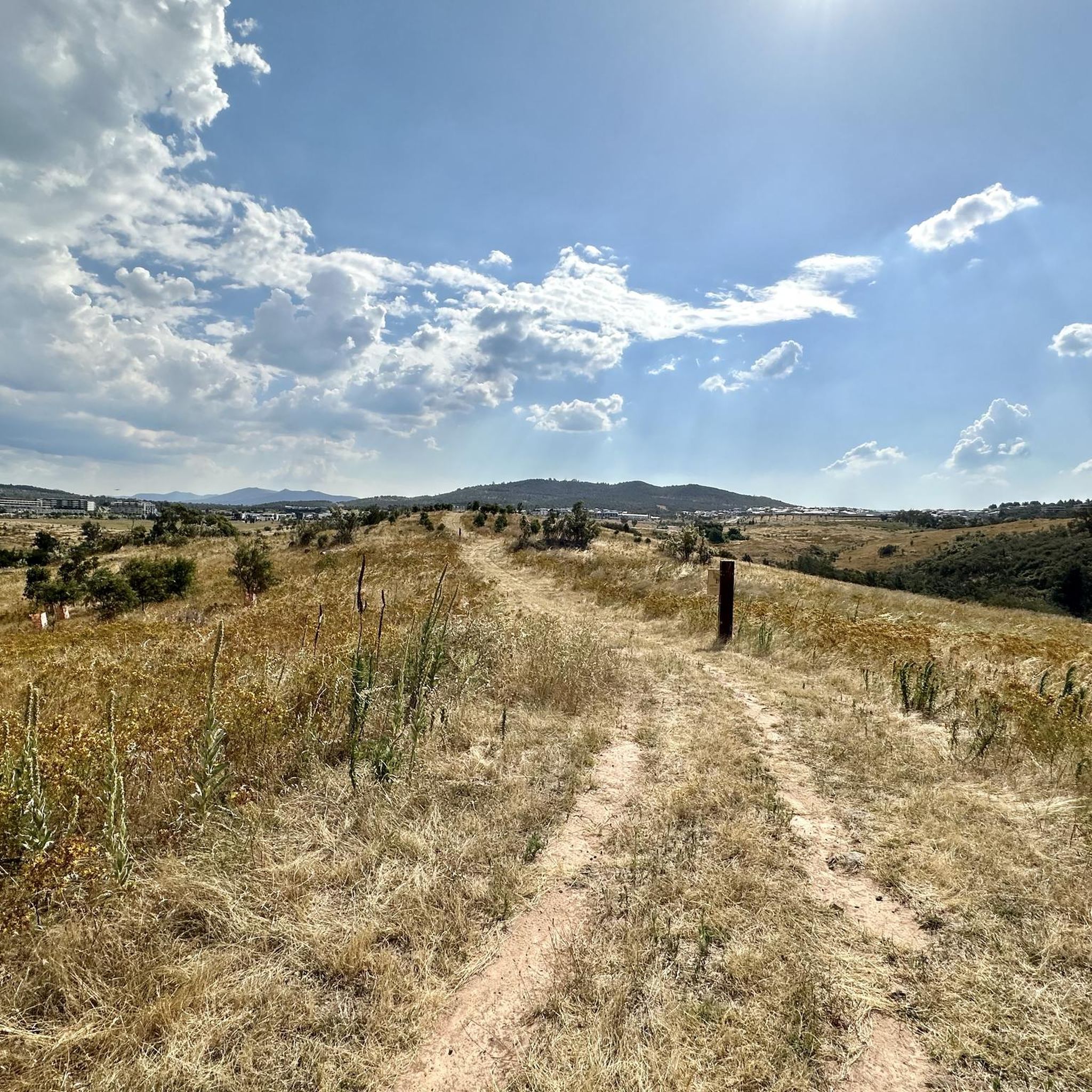
Mount Ainslie Nature Reserve covers 637 hectares of native bushland on Canberra's northeast edge, adjacent to Mount Majura Nature Reserve. There is a network of shared trails that wind through eucalypt forest, leading to beautiful views of Lake Burley Griffin and the city from the summit. Aside from the popular trails, the reserve also protects critically endangered grassy woodlands and diverse habitats that support threatened birds, rare plants, and native wildlife.
0
0

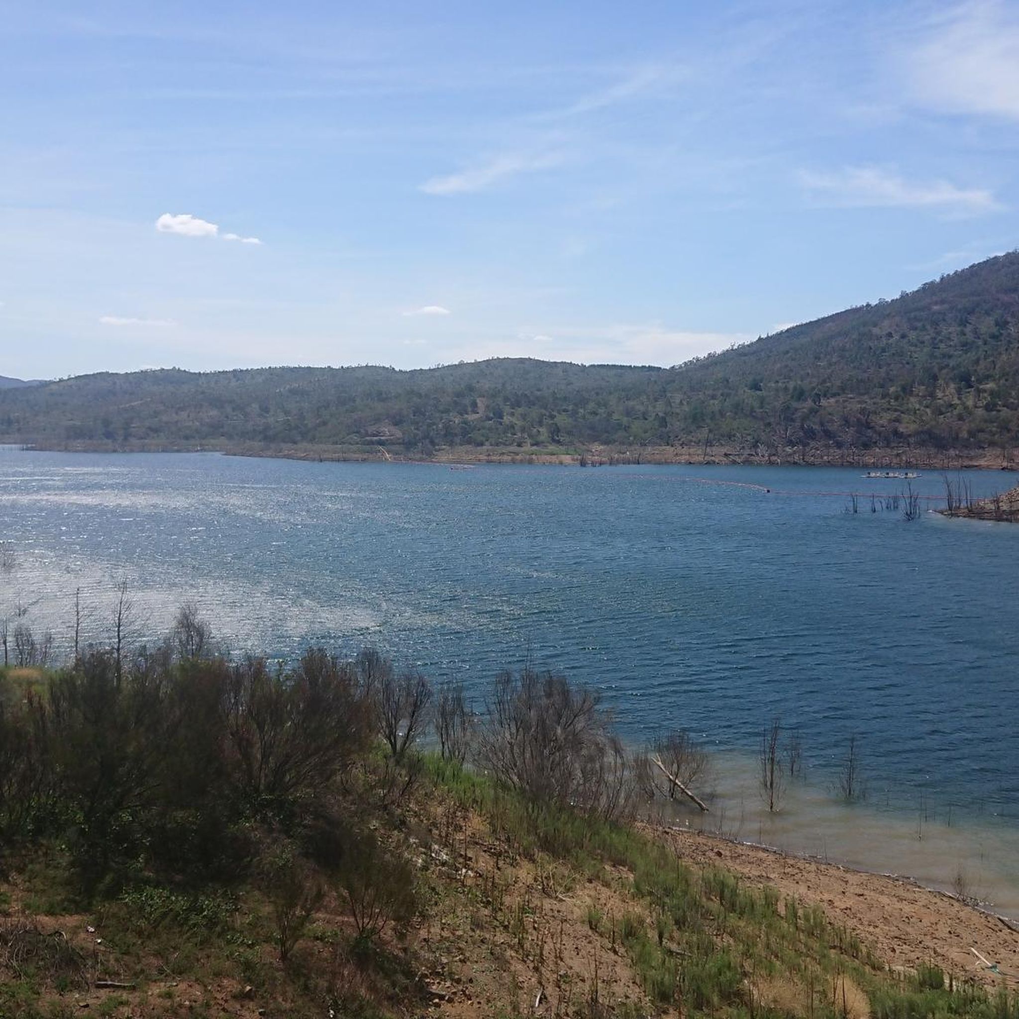
Scrivener Dam is a concrete gravity dam on the Molonglo River, completed in 1963, and is responsible for creating Lake Burley Griffin as a recreational and ornamental body of water. Named after surveyor Charles Scrivener, the dam is about 33 metres high and 319 metres long, with hydraulically operated fish‑belly flap gates that precisely control the lake levels and provide flood management capability. The dam also carries a roadway and the walking/cycling path, and helps form the backdrop to one of Canberra’s key engineering landmarks.
0
0

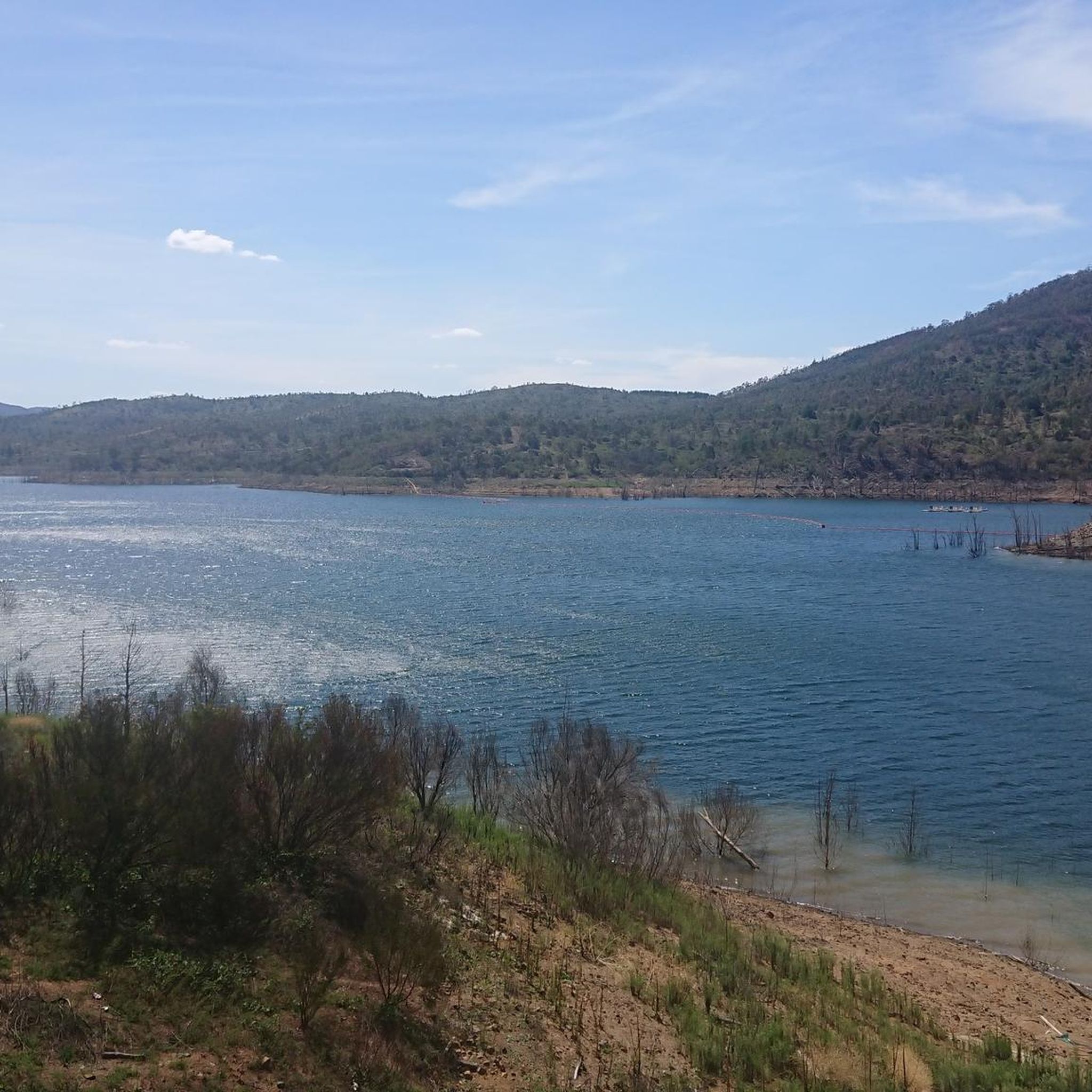
In 1964, the Molonglo River was dammed, creating this wetland. Today, these 260 hectares of land, forest, and waterways are protected. Within this park are the Kells Swamp Loop, Woodland Walk, and Billabong Walk. Keep your eyes peeled for platypuses, rakali, and micro-bats, and from the bird blind, you may see a few of the 200 bird species that visit this wetland every year.
0
0
Lake Tuggeranong is a beautiful artificial lake in Canberra’s Tuggeranong district, created in the 1980s as part of the suburb’s town centre development. There is a shared walking and cycling path that circles the lake, passing parks, wetlands, and recreation areas along the shoreline. The lake is a popular local spot ideal for walking, cycling, kayaking, and birdwatching.
0
0
Tuggeranong Town Park Beach is a small sandy lakeside area within Tuggeranong Town Park on the northern shore of Lake Tuggeranong. The beach sits along open lawns and playgrounds, making it a popular place for families to relax by the water. Nearby facilities include picnic tables, barbecues, public toilets, playgrounds, and plenty of walking paths around the lake.
0
0

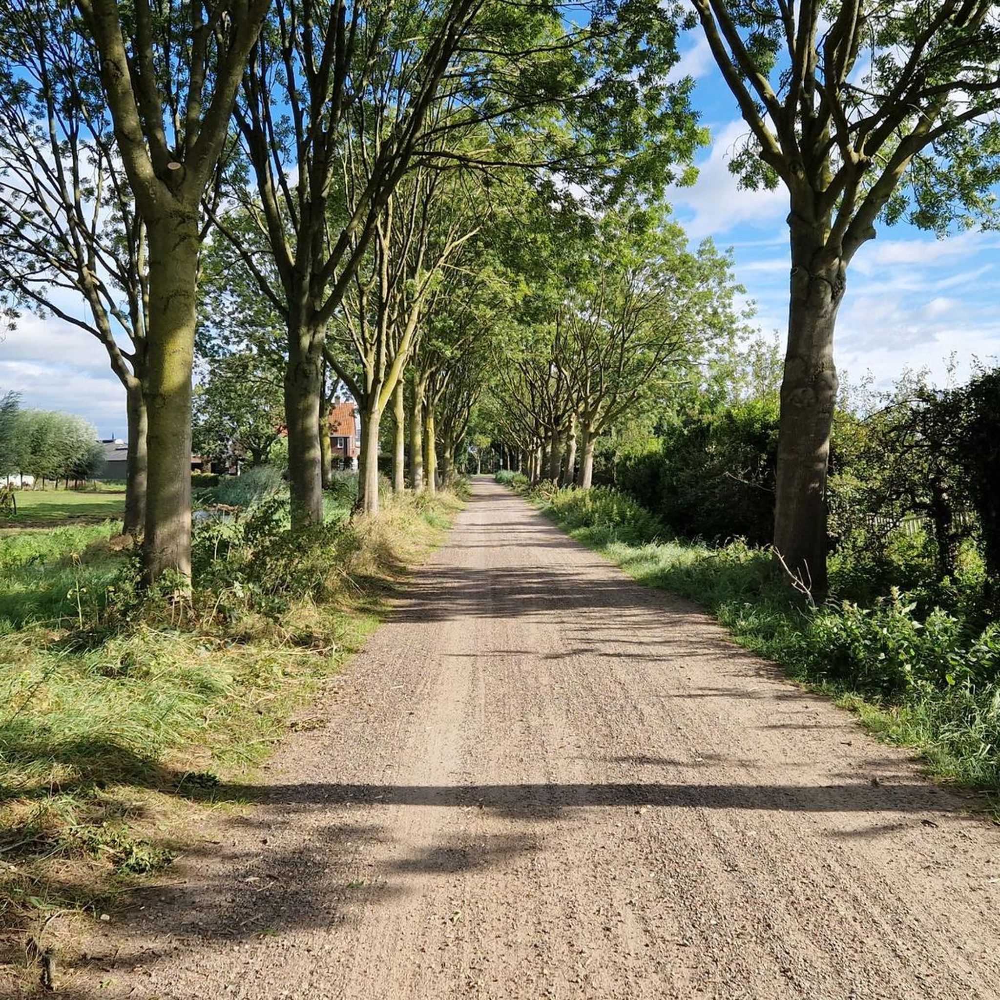
The National Arboretum in Canberra has beautiful cycling tracks that run across the whole place. It’s perfect for mountain or gravel bikes. The natural scenery combined with the zen of flowing tracks and change in elevation means you could simply ride forever.
0
0
The National Arboretum in Canberra has beautiful cycling tracks that run across the whole place. It’s perfect for mountain or gravel bikes. The natural scenery combined with the zen of flowing tracks and changes in elevation means you could ride forever.
0
0
Frequently Asked Questions
What kind of terrain can I expect when road cycling in Bullen Range Nature Reserve?
The Bullen Range Nature Reserve offers a diverse landscape for road cycling, characterized by rolling hills, open woodlands, and proximity to the Murrumbidgee River corridor. You'll find a mix of gentle gradients and more challenging climbs, providing varied natural environments from riverine plains to elevated areas with expansive views.
How many road cycling routes are available in Bullen Range Nature Reserve?
There are over 75 road cycling routes available in Bullen Range Nature Reserve, catering to various skill levels and preferences. The komoot community has explored these routes extensively, with over 1,600 road cyclists using komoot to navigate the area.
Are there road cycling routes suitable for beginners in Bullen Range Nature Reserve?
Yes, Bullen Range Nature Reserve offers several beginner-friendly road cycling routes. For example, the Mimi's Pit Stop – Lake Tuggeranong loop from Southern Cross Stadium is an easy 7.9 km route with minimal elevation gain, perfect for those new to road cycling or looking for a relaxed ride.
What are some challenging road cycling routes for advanced riders in the reserve?
Advanced road cyclists will find plenty of challenges. The Uriarra Village – Cotter Dam Spillway loop from Casuarina Sands is a difficult 94.4 km path with substantial elevation gain, exploring the broader region including the Cotter Dam area. Another demanding option is the Scrivener Dam – Canberra National Arboretum loop from Kambah, a 75.3 km trail with significant climbs.
What do other road cyclists enjoy most about the routes in Bullen Range Nature Reserve?
The area is highly rated by the komoot community, with an average score of 4.3 stars from more than 30 reviews. Reviewers often praise the varied terrain, from open woodlands to river valleys, and the options available for both leisurely rides and challenging ascents.
Are there any long-distance road cycling routes in Bullen Range Nature Reserve?
For those seeking longer rides, Bullen Range Nature Reserve and its surroundings offer extensive options. The Scrivener Dam – National Carillon loop from Viking Park is a substantial 106 km route, providing a comprehensive tour through varied landscapes.
Are there road cycling routes that include significant climbs or viewpoints?
Yes, many routes feature notable climbs and offer rewarding views. The Mount Stromlo Observatory – Mt Stromlo Summit Climb loop from Casuarina Sands is a popular 24.4 km route specifically known for its significant climb to Mount Stromlo Observatory, providing expansive vistas from the summit.
What is the best time of year to go road cycling in Bullen Range Nature Reserve?
Given the region's climate, spring and autumn generally offer the most pleasant conditions for road cycling in Bullen Range Nature Reserve, with milder temperatures and less extreme weather. Summer can be hot, while winter mornings can be quite cool, so checking the forecast is always recommended.
Are there loop trails available for road cyclists in Bullen Range Nature Reserve?
Many of the road cycling routes in Bullen Range Nature Reserve are designed as loops, allowing you to start and finish at the same point. This includes popular options like the Mount Stromlo Observatory – Mt Stromlo Summit Climb loop from Casuarina Sands and the Uriarra Village – Cotter Dam Spillway loop from Casuarina Sands.
What kind of wildlife might I encounter while road cycling in the reserve?
As a nature reserve, Bullen Range is home to various native Australian wildlife. While cycling, you might spot kangaroos, wallabies, and a diverse range of bird species in the open woodlands and along the river corridors. Maintaining a respectful distance and observing from afar is encouraged.
Is public transport available to access road cycling routes in Bullen Range Nature Reserve?
While direct public transport into the heart of the nature reserve might be limited, some routes start or pass near areas that are more accessible by public transport in the broader Canberra region. It's advisable to check local bus routes and schedules for connections to starting points like Kambah or areas near Lake Tuggeranong.
Most popular routes in Bullen Range Nature Reserve

Get inspired with the komoot mobile app


Explore more
Browse the best Road cycling routes in other regions.
