The best walks and hikes in Bullen Range Nature Reserve
4.5
(39)
991
hikers
71
hikes
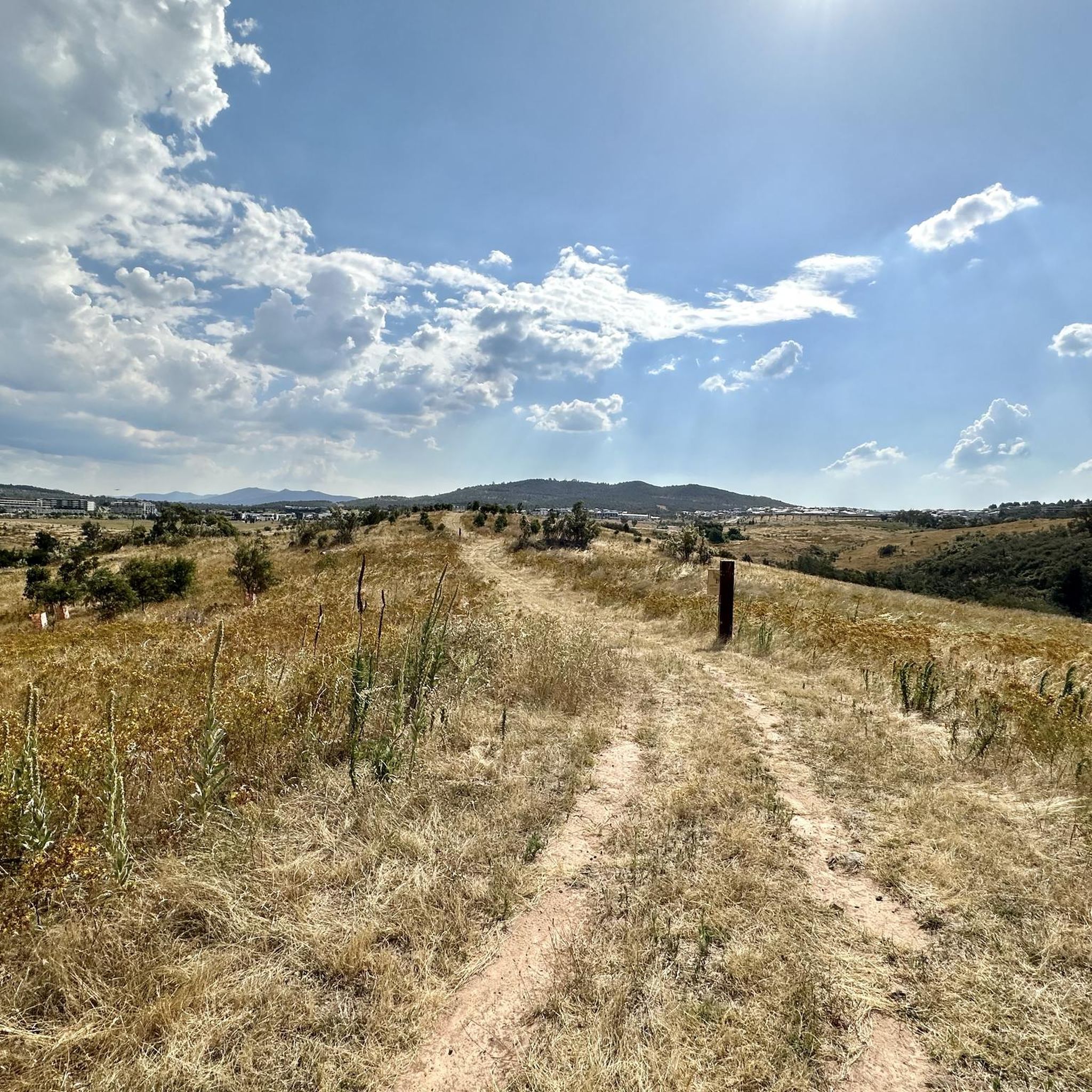
Hiking in Bullen Range Nature Reserve offers diverse landscapes, including the Murrumbidgee River Corridor, open grasslands, and dense forests along the Bullen Range. The terrain features river convergences, sandy beaches, and significant cliff formations like Red Rocks. Elevations can reach over 910 meters in some areas, providing varied experiences for hikers.
Best hiking trails in Bullen Range Nature Reserve
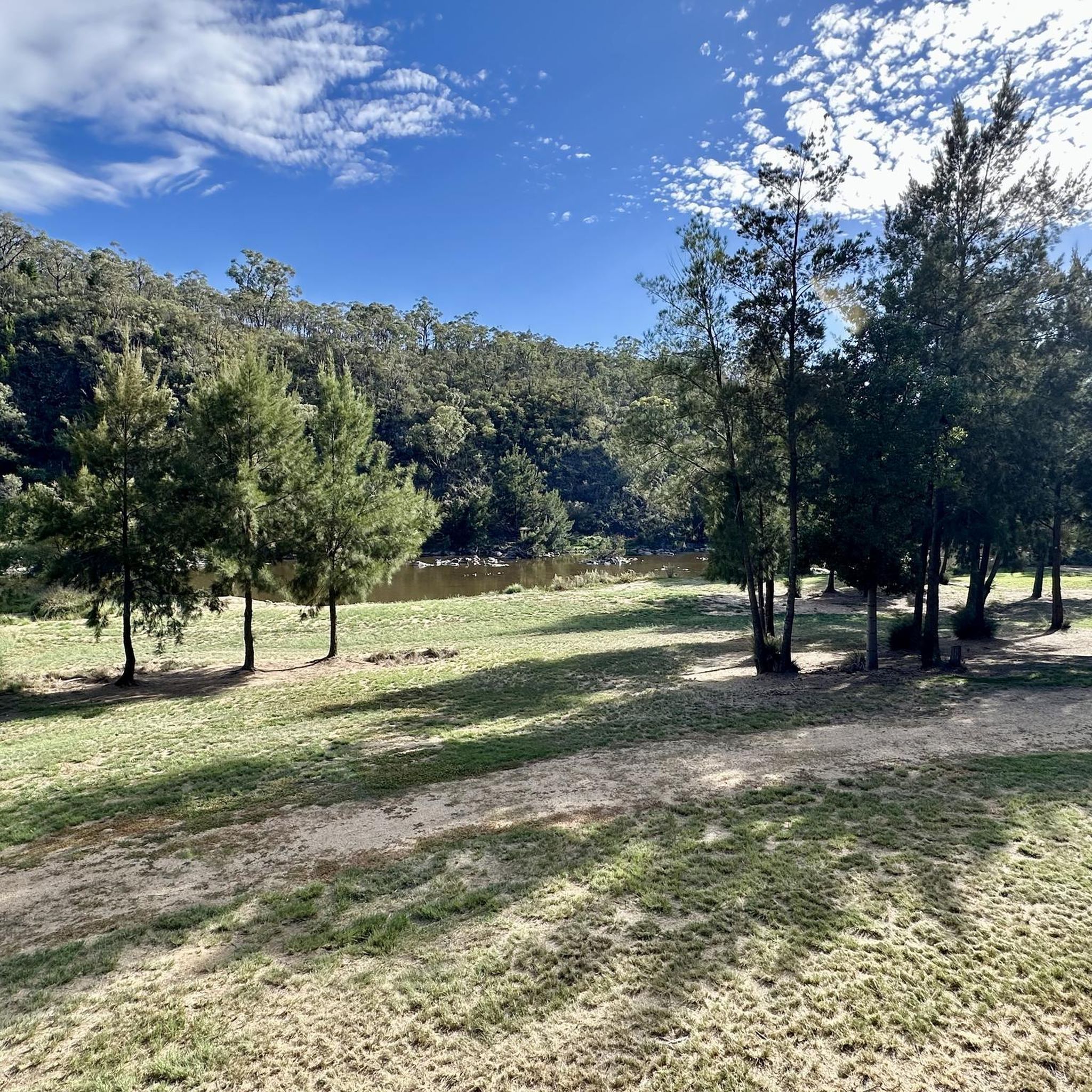
- The most popular hiking route is Red Rocks Gorge Lookout loop from Kambah Pool Recreation Area, a 2.8 miles (4.6 km) trail that takes 1 hour 14 minutes to complete. This easy loop offers views of the Red Rocks Gorge.
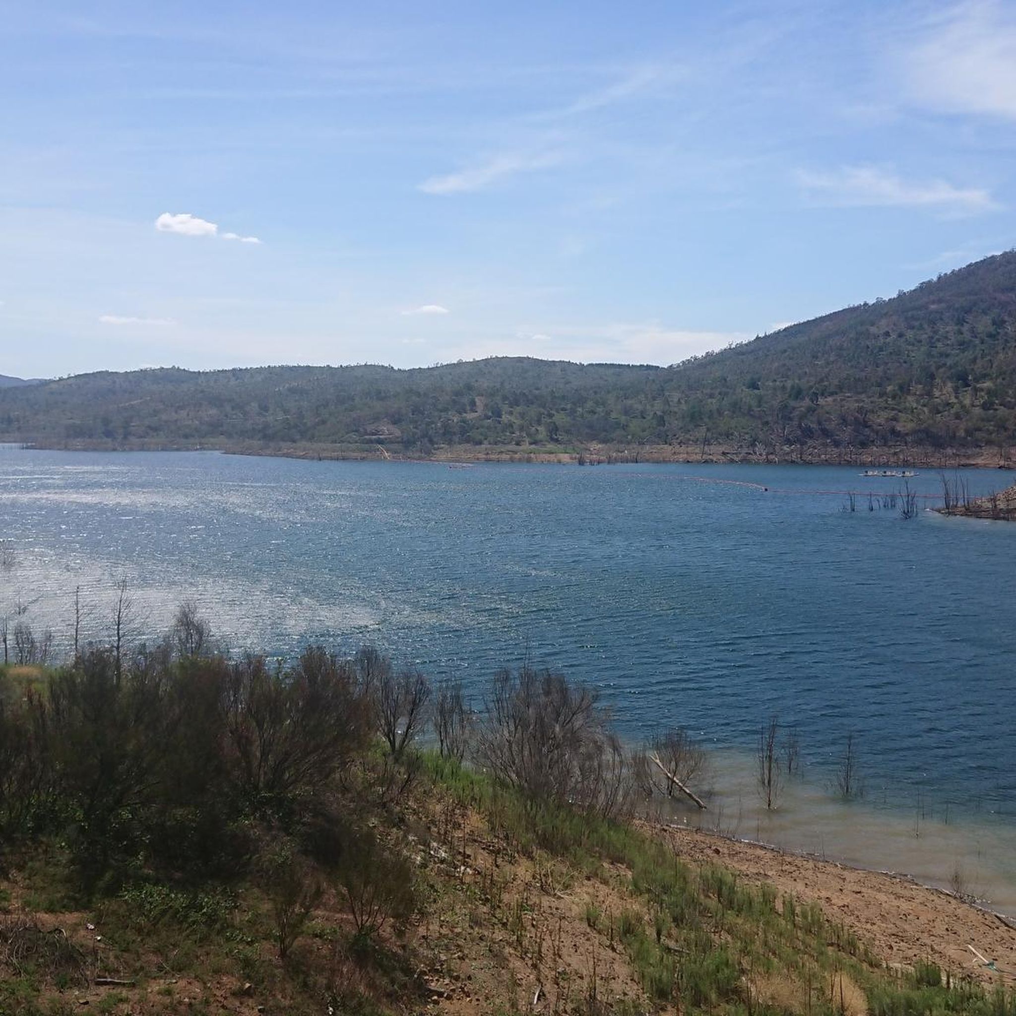
- Another top favourite among local hikers is Cotter Dam Lookout – Lake View loop from Cotter Reserve, a moderate 9.1 miles (14.7 km) path. This route features significant elevation gain and scenic lake views from the Cotter Dam Lookout.
- Local hikers also love the Dam Viewing Area loop from Cotter Reserve, a 2.2 miles (3.6 km) trail leading through the Cotter Recreation Area, often completed in about 1 hour.
- Hiking in Bullen Range Nature Reserve is defined by the Murrumbidgee River, varied forests, and open grasslands, with options ranging from easy riverside paths to more challenging routes with elevation. The network offers options for different ability levels.
- The routes in Bullen Range Nature Reserve are highly rated by the komoot community with an average score of 4.6 stars from over 40 reviews. More than 1000 hikers have used komoot to explore Bullen Range Nature Reserve's varied terrain.
Last updated: July 4, 2026
4.3
(4)
35
hikers
4.57km
01:14
60m
60m
Easy hike. Great for any fitness level. Easily-accessible paths. Suitable for all skill levels.
5.0
(1)
9
hikers
14.3km
04:15
440m
440m
Moderate hike. Good fitness required. Easily-accessible paths. Suitable for all skill levels.

Sign up for free
8
hikers
3.59km
01:00
70m
70m
Easy hike. Great for any fitness level. Easily-accessible paths. Suitable for all skill levels.
5.0
(2)
83
hikers
7.25km
01:51
20m
20m
Easy hike. Great for any fitness level. Easily-accessible paths. Suitable for all skill levels.
10
hikers
6.66km
01:55
170m
170m
Easy hike. Great for any fitness level. Easily-accessible paths. Suitable for all skill levels.
Get access to more routes and recommendations from other explorers.
Sign up for free
Already have an account?
Our route recommendations are based on thousands of hikes, rides, and runs completed by other people on komoot.
Start today with a free account
Your next adventure awaits.
Login or Signup

Tips from the Community

Ngadyung Beach is a small, sandy, quiet lakeside area nestled along Lake Tuggeranong. The beach sits along open grass and the shared path that forms part of the Lake Tuggeranong Circuit. It's a peaceful place to stop along the lake for views across the water and a short break during a walk or cycle.
0
0
Lake Tuggeranong is a beautiful artificial lake in Canberra’s Tuggeranong district, created in the 1980s as part of the suburb’s town centre development. There is a shared walking and cycling path that circles the lake, passing parks, wetlands, and recreation areas along the shoreline. The lake is a popular local spot ideal for walking, cycling, kayaking, and birdwatching.
0
0
Tuggeranong Town Park Beach is a small sandy lakeside area within Tuggeranong Town Park on the northern shore of Lake Tuggeranong. The beach sits along open lawns and playgrounds, making it a popular place for families to relax by the water. Nearby facilities include picnic tables, barbecues, public toilets, playgrounds, and plenty of walking paths around the lake.
0
0

Frequently Asked Questions
What kind of terrain can I expect when hiking in Bullen Range Nature Reserve?
Bullen Range Nature Reserve offers a diverse landscape. You'll find trails winding through open grasslands, dense forests along the Bullen Range, and along the scenic Murrumbidgee River Corridor. The terrain also features river convergences, sandy beaches, and significant cliff formations like Red Rocks.
Are there any challenging hikes with significant elevation gain in the reserve?
Yes, for those seeking a challenge, some routes in Bullen Range Nature Reserve feature significant elevation gain. For example, the Cotter Dam Lookout – Lake View loop from Cotter Reserve is a moderate 14.7 km path with over 440 meters of elevation gain, offering rewarding scenic lake views.
What natural features or landmarks can I see while hiking in Bullen Range Nature Reserve?
Hikers can enjoy stunning vistas of the Murrumbidgee River, especially along the Murrumbidgee Discovery Track. Other notable features include the Red Rocks cliff, the scenic convergence of the Cotter River and Paddys River at the Cotter Recreation Area, and the historic Cotter Cave (though it's closed to the public, it's visible along The Bullen Track).
Are there any easy, family-friendly hikes suitable for beginners?
Yes, Bullen Range Nature Reserve has several easy trails perfect for families or beginners. The Red Rocks Gorge Lookout loop from Kambah Pool Recreation Area is an easy 4.6 km loop that takes just over an hour, offering views of the gorge. Another option is the Dam Viewing Area loop from Cotter Reserve, a 3.6 km trail through the Cotter Recreation Area.
Can I bring my dog on the hiking trails in Bullen Range Nature Reserve?
Generally, dogs are not permitted on trails within Bullen Range Nature Reserve to protect native wildlife. However, some adjacent areas or specific trails might have different regulations. It's always best to check local signage or the official ACT Parks and Conservation Service website for the most current information regarding dog access.
Are there any circular walking routes available?
Yes, many of the popular routes in Bullen Range Nature Reserve are designed as loops. Examples include the Red Rocks Gorge Lookout loop from Kambah Pool Recreation Area and the Cotter Dam Lookout – Lake View loop from Cotter Reserve, providing convenient options for hikers.
What is the best time of year to go hiking in Bullen Range Nature Reserve?
The reserve can be enjoyed year-round, but spring and autumn generally offer the most pleasant hiking conditions with milder temperatures and vibrant natural scenery. Summer can be hot, making early morning or late afternoon hikes preferable, while winter offers crisp air and unique views, though some river crossings might be more challenging.
What do other hikers enjoy most about hiking in Bullen Range Nature Reserve?
The area is highly rated by the komoot community, with an average score of 4.6 stars from over 40 reviews. Reviewers often praise the diverse landscapes, from riverside paths to forest trails, and the impressive views of the Murrumbidgee River. The variety of routes catering to different ability levels is also frequently highlighted.
Is there parking available at the trailheads in Bullen Range Nature Reserve?
Yes, parking is generally available at key access points and recreation areas within or near Bullen Range Nature Reserve, such as Kambah Pool Recreation Area and Cotter Reserve, which serve as starting points for many popular trails.
Can I reach Bullen Range Nature Reserve using public transport?
While public transport options directly into the heart of Bullen Range Nature Reserve are limited, some bus routes may service areas close to the reserve's boundaries, such as near Kambah Pool. However, accessing specific trailheads often requires private vehicle transport. It's advisable to check local bus schedules for routes to the nearest accessible points.
Are there opportunities for wildlife spotting in the reserve?
Bullen Range Nature Reserve is a sanctuary for native Australian wildlife and provides important habitat connectivity. Hikers often have opportunities to spot abundant birdlife and other native animals, especially in the quieter sections of the reserve and along the Murrumbidgee River Corridor.
How many hiking trails are there in Bullen Range Nature Reserve?
There are over 70 hiking routes available in Bullen Range Nature Reserve, ranging from easy strolls to more challenging treks. This variety ensures options for all experience levels, with 47 easy, 24 moderate, and 3 difficult trails recorded.
Most popular routes in Bullen Range Nature Reserve

Get inspired with the komoot mobile app


Explore more
Browse the best Hikes in other regions.
