The best road cycling routes in Murramarang National Park
4.0
(1)
86
riders
4
rides
Road cycling in Murramarang National Park offers routes through a diverse landscape along the New South Wales South Coast. The region features a 44-kilometer coastline with beaches and varied terrain, including areas with ancient Burrawang palms and tall eucalypt trees. While some roads within the park are unsealed, there are accessible routes for road cycling, including paved segments and scenic roads in the southern part of the park. These routes often present moderate elevation gains, providing a mix of coastal…
Last updated: July 3, 2026
29
riders
69.0km
02:58
480m
480m
Moderate road ride. Good fitness required. Mostly well-paved surfaces and easy to ride.
4.0
(1)
35
riders
52.7km
02:26
480m
480m
Moderate road ride. Good fitness required. Mostly well-paved surfaces and easy to ride.

Sign up for free
6
riders
Moderate road ride. Good fitness required. Mostly well-paved surfaces and easy to ride.
5
riders
45.7km
02:06
540m
540m
Moderate road ride. Good fitness required. Mostly well-paved surfaces and easy to ride.
5
riders
Easy road ride. Great for any fitness level. Mostly well-paved surfaces and easy to ride.
Our route recommendations are based on thousands of hikes, rides, and runs completed by other people on komoot.
Start today with a free account
Your next adventure awaits.
Login or Signup
Popular around Murramarang National Park

Tips from the Community

Short little climb off the main road up to the Dog Trap Road that offers a nice return descent along the Ridge Road with views over sunshine beach.
0
0

Frequently Asked Questions
What kind of terrain can I expect when road cycling in Murramarang National Park?
Road cycling in Murramarang National Park offers a mix of coastal and forested environments. While some roads within the park are unsealed, many routes feature well-paved surfaces. You'll encounter varied terrain, including scenic roads with steep slopes in the southern part of the park, and moderate elevation gains throughout, providing a good challenge for road cyclists.
Are there any specific road cycling routes that are particularly scenic or challenging?
Yes, the park offers routes with diverse scenery. For expansive coastal views, consider the Sunset View of Batemans Bay – Tomakin Cove loop. This route covers 75.3 km and includes significant elevation. Another popular option is the Dog Trap Road Detour – Tomakin Cove loop, which is 69.0 km and offers varied terrain and coastal views.
What are the best times of year to go road cycling in Murramarang National Park?
The Murramarang National Park area generally offers pleasant cycling conditions for much of the year. Spring (September-November) and Autumn (March-May) are often ideal, with milder temperatures and less extreme weather. Summer can be warm, especially inland, while winter offers cooler, crisp days, though some coastal winds might be present.
What natural attractions or viewpoints can I see along the road cycling routes?
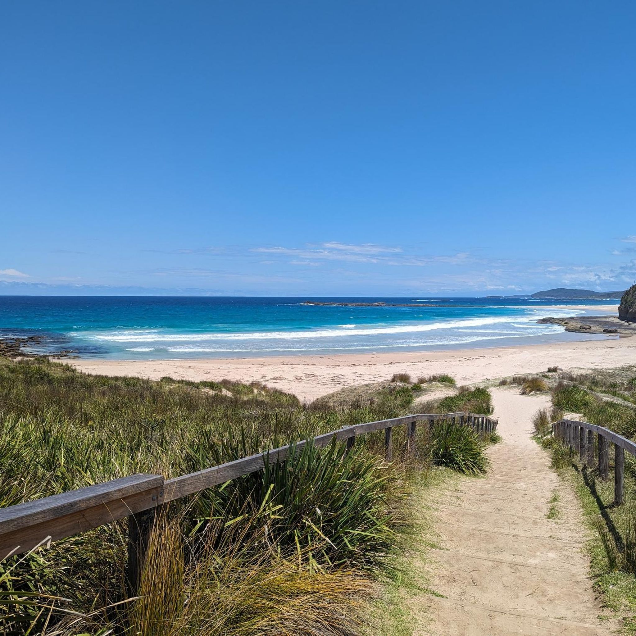
The park is renowned for its stunning coastline, so you'll often find yourself cycling near pristine beaches like Pebbly Beach, Depot Beach, and Pretty Beach. Keep an eye out for kangaroos grazing near the sand, especially at Pebbly Beach. Many routes offer glimpses of the diverse forests, including ancient Burrawang palms and towering eucalypt trees. Coastal viewpoints, such as those near North Head, provide panoramic ocean vistas.
Are there any family-friendly road cycling options in Murramarang National Park?
While many routes in the park are rated moderate due to varied terrain and elevation, some shorter, easier rides can be suitable for families with older children or those comfortable with road cycling. For example, the Malua Bay Beach – View of Surf Beach loop is an easier 21.7 km route that could be a good option. Always check the route details for distance and elevation to ensure it matches your family's ability.
What is the policy for dogs on road cycling trails and within Murramarang National Park?
Murramarang National Park is a protected area, and generally, dogs are not permitted on walking tracks, cycling trails, or in park accommodation, even on a leash. This is to protect native wildlife. There are some exceptions for assistance animals. For detailed and up-to-date information on dog policies, it's best to consult the official NSW National Parks website: nationalparks.nsw.gov.au.
Where can I find parking or access points for road cycling routes in Murramarang National Park?
Cyclists can access various paths by turning off the Princes Highway. Villages like Depot Beach, Durras, or Kioloa often serve as convenient starting points and may offer parking facilities. For specific routes, such as the Sunset View of Batemans Bay – Tomakin Cove loop or the Malua Bay Beach – Tomakin Cove loop, starting points like Bligh St at Eric Fenning Dr are indicated.
Are there any loop road cycling routes available in the park?
Yes, many of the road cycling routes in Murramarang National Park are designed as loops, allowing you to start and finish at the same point. Examples include the Dog Trap Road Detour – Tomakin Cove loop (69.0 km) and the Sunset View of Batemans Bay – Malua Bay Beach loop (52.7 km). These loops offer a comprehensive way to experience the region's diverse landscapes.
What do other road cyclists enjoy most about cycling in Murramarang National Park?
The area is highly rated by the komoot community, with an average score of 4.0 stars. Road cyclists often praise the stunning coastline, the diverse forests, and the varied terrain that provides both scenic beauty and a good workout. The opportunity to spot wildlife like kangaroos and various bird species while cycling is also a highlight for many.
Are there cafes or places to eat near the road cycling routes in Murramarang National Park?
While the national park itself is primarily natural, the surrounding villages and towns offer amenities. Villages like Depot Beach, Durras, and Kioloa, which serve as access points, may have small cafes or general stores. Larger towns such as Batemans Bay and Ulladulla, located near the park, provide a wider range of cafes, pubs, and accommodation options for pre- or post-ride refreshments.
How many road cycling routes are available in Murramarang National Park on komoot?
There are several road cycling routes available in Murramarang National Park on komoot, with a total of 4 routes listed in this guide. These routes range in distance and elevation, catering to different preferences, though all are currently rated as moderate or easy.
Can I expect to see wildlife while road cycling in Murramarang National Park?
Yes, Murramarang National Park is rich in wildlife. As you cycle, you have a good chance of spotting eastern grey kangaroos, especially in open grassy areas and near beaches like Pebbly Beach. The park is also home to over 200 species of birds, including peregrine falcons, sea eagles, and satin bowerbirds, making it an excellent area for birdwatching from your bike.
Most popular routes in Murramarang National Park

Get inspired with the komoot mobile app


Explore more
Browse the best Road cycling routes in other regions.
