The best running trails in Wanniassa Hills Nature Reserve
4.3
(15)
1,712
runners
100
runs
Jogging in Wanniassa Hills Nature Reserve offers a diverse landscape for runners. The region is characterized by undulating hills, providing varied elevation changes suitable for different fitness levels. Trails often traverse natural bushland, offering a mix of shaded and open sections. These routes provide opportunities to explore the natural environment of the reserve.
Best jogging routes in Wanniassa Hills Nature Reserve
- The most popular jogging route is Farrer Trig – Mount Wanniassa loop from Chisholm, a 12.6 miles (20.2…
Last updated: October 20, 2026
4.0
(1)
20
runners
19.9km
02:23
510m
510m
Hard run. Very good fitness required. Mostly paved surfaces. Suitable for all skill levels.
11
runners
16.0km
01:39
80m
80m
Hard run. Very good fitness required. Mostly paved surfaces. Suitable for all skill levels.

4
runners
11.1km
01:13
140m
140m
Moderate run. Good fitness required. Mostly paved surfaces. Suitable for all skill levels.
3
runners
12.8km
01:21
120m
120m
Moderate run. Good fitness required. Mostly paved surfaces. Suitable for all skill levels.
8
runners
7.94km
00:50
70m
70m
Moderate run. Good fitness required. Mostly paved surfaces. Suitable for all skill levels.
Get access to more routes and recommendations from other explorers.
Already have an account?
Our route recommendations are based on thousands of hikes, rides, and runs completed by other people on komoot.
Start today with a free account
Your next adventure awaits.
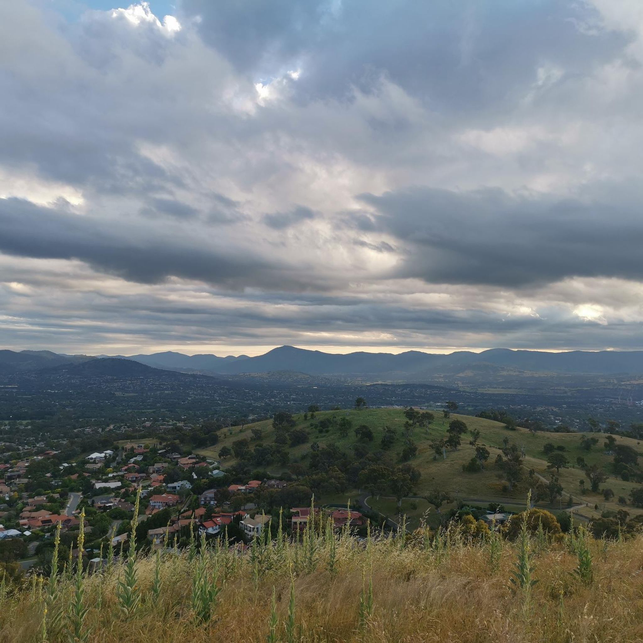
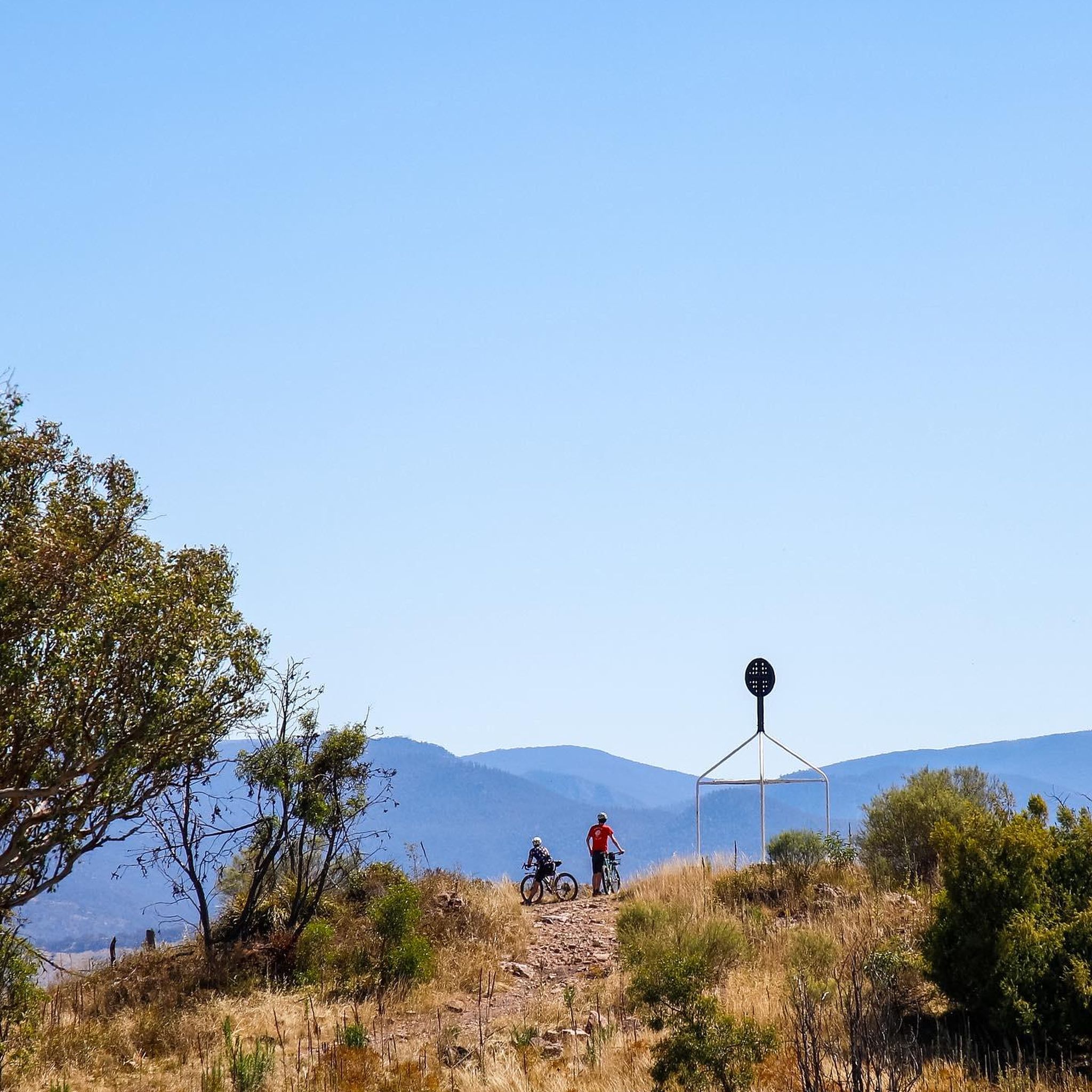
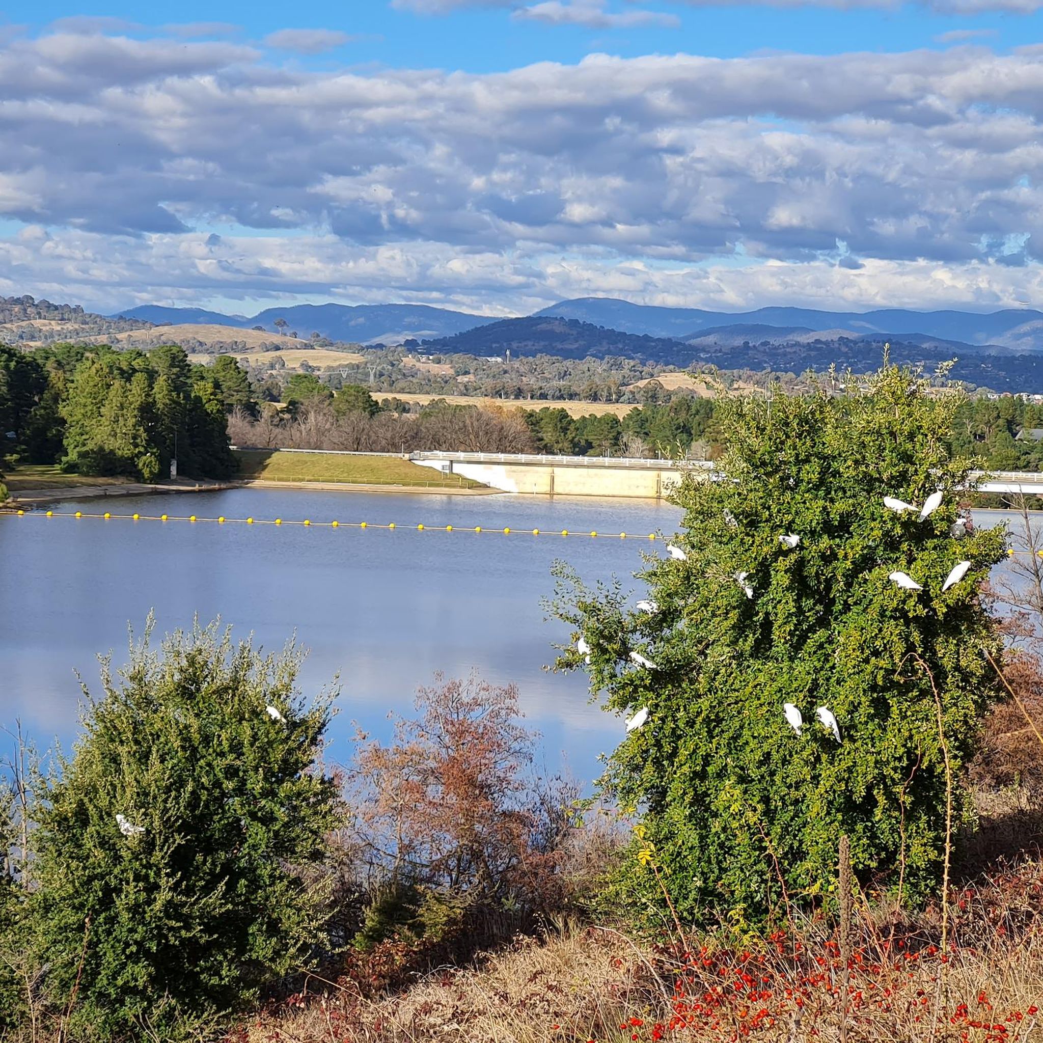
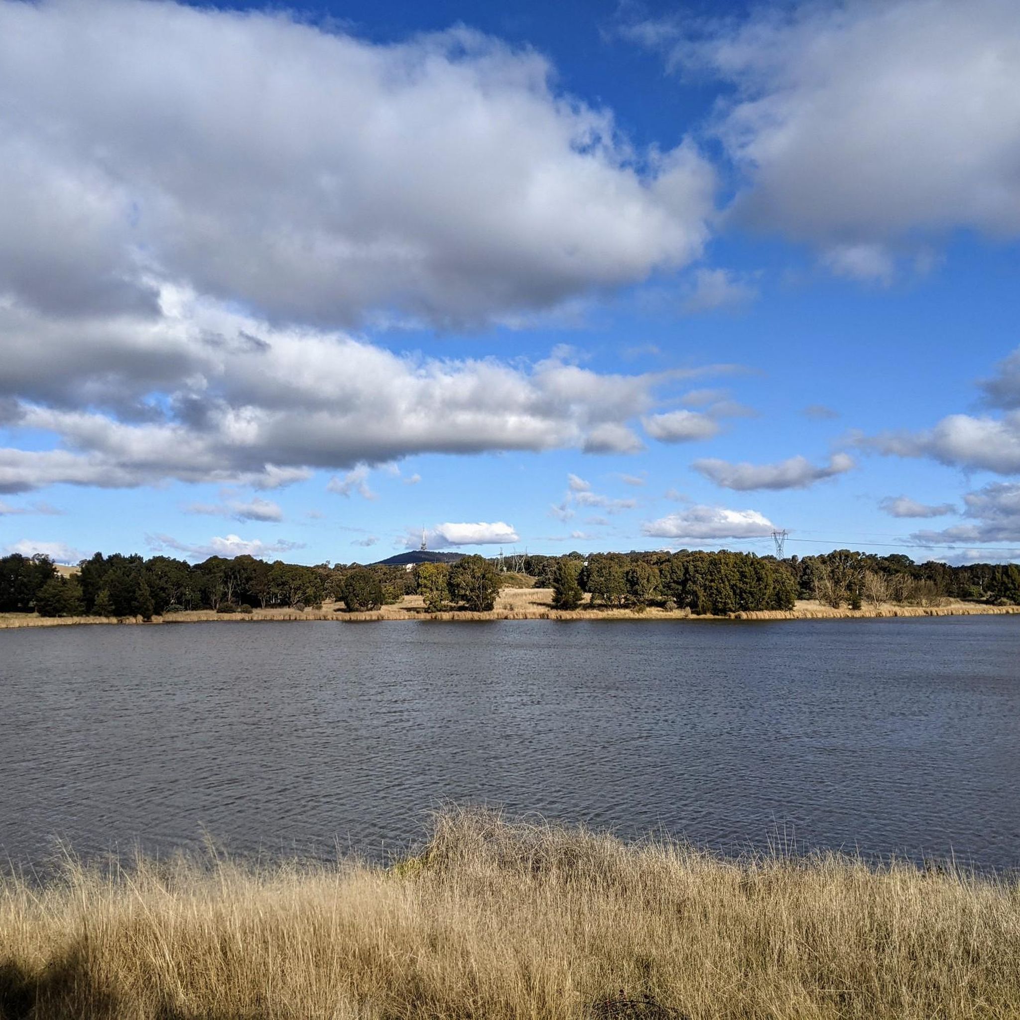

Tips from the Community

The Spine winds gradually uphill through Isaacs Pines, following a narrower line beneath the trees instead of the wider management roads nearby. It’s designed as a shared trail for walking, running and cross-country riding, with a gentler gradient than the steeper routes higher on the ridge. As you climb, gaps in the pines start opening towards Woden Valley and the Brindabella Ranges.
0
0
Isaacs Ridge Nature Reserve climbs above Woden Valley through open eucalypt woodland, with broad views across Canberra appearing as you gain height. The reserve protects one of the ACT’s larger connected areas of endangered Yellow Box–Blakely’s Red Gum grassy woodland, so stick to the existing tracks as you explore. Dogs are allowed on lead, and the more open ridgeline sections can feel quite exposed on hot or windy days.
0
0
There’s informal roadside parking along Long Gully Road, giving you quick access to Isaacs Pines and the ridge tracks. Pull well off the road where possible and take extra care getting in and out, as traffic can move quickly along this stretch. If the roadside spots are full, Shepherdson Place is the better overflow option, with a small informal parking area.
0
0


Will need decent rubber and low psi but this fairly flat, flowing singletrack is good fun. No large gaps, drops or descents. Watch for jagged rocks and exposed tree roots.
0
0
Suitable for gravel or mtb setups as long as you’re running decent rubber and low psi. Nice flowing singletrack without many ascents, drops or gaps. Track does have many exposed rocks and roots.
0
0
Frequently Asked Questions
How many running routes are available in Wanniassa Hills Nature Reserve?
Wanniassa Hills Nature Reserve offers a wide selection of running paths, with over 110 routes available for exploration. These range from easy strolls to challenging runs, catering to various fitness levels.
Are there any easy or beginner-friendly jogging routes in Wanniassa Hills Nature Reserve?
Yes, the reserve features several easier running options. There are 11 routes specifically rated as easy, and many of the 71 moderate routes can also be suitable for beginners looking to gradually increase their challenge. Look for routes with less elevation gain for a gentler experience.
What are some challenging running paths in Wanniassa Hills Nature Reserve?
For those seeking a challenge, Wanniassa Hills Nature Reserve has 29 difficult running paths. A notable option is the Farrer Trig – Mount Wanniassa loop from Chisholm, which covers 12.6 miles (20.2 km) with significant elevation gain. Another demanding route is the Mount Wanniassa – Farrer Trig loop from Macarthur, offering hilly terrain over 10.6 miles (17.0 km).
Are there any loop jogging trails in Wanniassa Hills Nature Reserve?
Many of the running routes in Wanniassa Hills Nature Reserve are designed as loops, allowing you to start and finish at the same point. Examples include the Running loop from Macarthur and the Running loop from Chisholm, both offering convenient circular paths through the natural bushland.
What kind of terrain can I expect on the running trails?
The running trails in Wanniassa Hills Nature Reserve are characterized by undulating hills and natural bushland. You'll encounter varied elevation changes, from gentle slopes to steeper climbs, and a mix of shaded and open sections. The paths often traverse natural surfaces, providing an authentic outdoor running experience.
What do other runners enjoy most about jogging in Wanniassa Hills Nature Reserve?
The area is highly rated by the komoot community, with an average score of 4.5 stars from over 20 reviews. Runners often praise the diverse landscape, the challenge of the undulating hills, and the opportunity to explore natural bushland. The variety of routes suitable for different abilities is also frequently highlighted.
Are there any viewpoints or interesting landmarks along the running trails?
Yes, several routes offer scenic views and pass by notable points. The trails often lead to elevated areas like Farrer Trig and Mount Wanniassa, providing panoramic vistas of the surrounding region. Routes like the Isabella Pond – Lake Tuggeranong loop from Chisholm offer scenic views around water bodies.
Is Wanniassa Hills Nature Reserve suitable for wildlife spotting while jogging?
As a nature reserve, Wanniassa Hills offers opportunities for wildlife spotting. While jogging, you might encounter various native birds and other local fauna in their natural habitat. Maintaining a quiet pace and being observant will increase your chances of seeing wildlife.
What is the best time of day or year to go running in Wanniassa Hills Nature Reserve?
The best time to run often depends on personal preference and weather conditions. Mornings and late afternoons are generally pleasant, especially in warmer months, to avoid the midday heat. Spring and autumn offer mild temperatures and vibrant scenery. Winter running is also possible, but trails might be cooler and potentially damp after rain.
Are there any running routes that include water features like ponds or lakes?
Yes, the Isabella Pond – Lake Tuggeranong loop from Chisholm is a popular route that takes you around these significant water bodies, offering a different scenic experience compared to the bushland trails. This route provides beautiful views and a flatter section along the water's edge.
What are the typical distances and durations for running routes in the reserve?
Running routes in Wanniassa Hills Nature Reserve vary significantly. You can find shorter runs, but many popular routes range from 6 to 12 miles (10 to 20 km). Durations can range from just over an hour for moderate routes to over two hours for more challenging and longer trails, depending on your pace and the elevation.
Most popular routes in Wanniassa Hills Nature Reserve

Get inspired with the komoot mobile app


Explore more
Browse the best Running Trails & Routes in other regions.
