The best MTB trails in Wanniassa Hills Nature Reserve
4.7
(16)
641
riders
44
rides
Mountain bike trails in Wanniassa Hills Nature Reserve offer a diverse network for riders of various skill levels. The reserve features varied landscapes, including open forests and woodlands, with ridgetop views of southern Canberra and the Brindabella Mountains from elevated points like Mount Wanniassa. The terrain includes designated management trails and sections of the Centenary Trail, providing opportunities for both challenging climbs and more accessible paths. Varying gradients are present, catering to different riding preferences.
Best mountain bike trails in…
Last updated: October 20, 2026
23
riders
107km
08:29
1,370m
1,370m
Hard mountain bike ride. Very good fitness required. Advanced riding skills necessary.
8
riders
16.7km
01:30
240m
240m
Easy mountain bike ride. Great for any fitness level. Suitable for all skill levels.

4.0
(1)
3
riders
27.1km
01:54
310m
310m
Moderate mountain bike ride. Good fitness required. Suitable for all skill levels.
5
riders
65.5km
04:13
870m
860m
Moderate mountain bike ride. Good fitness required. Suitable for all skill levels.
19
riders
33.1km
02:21
260m
260m
Moderate mountain bike ride. Good fitness required. Advanced riding skills necessary.
Get access to more routes and recommendations from other explorers.
Already have an account?
Our route recommendations are based on thousands of hikes, rides, and runs completed by other people on komoot.
Start today with a free account
Your next adventure awaits.

Tips from the Community

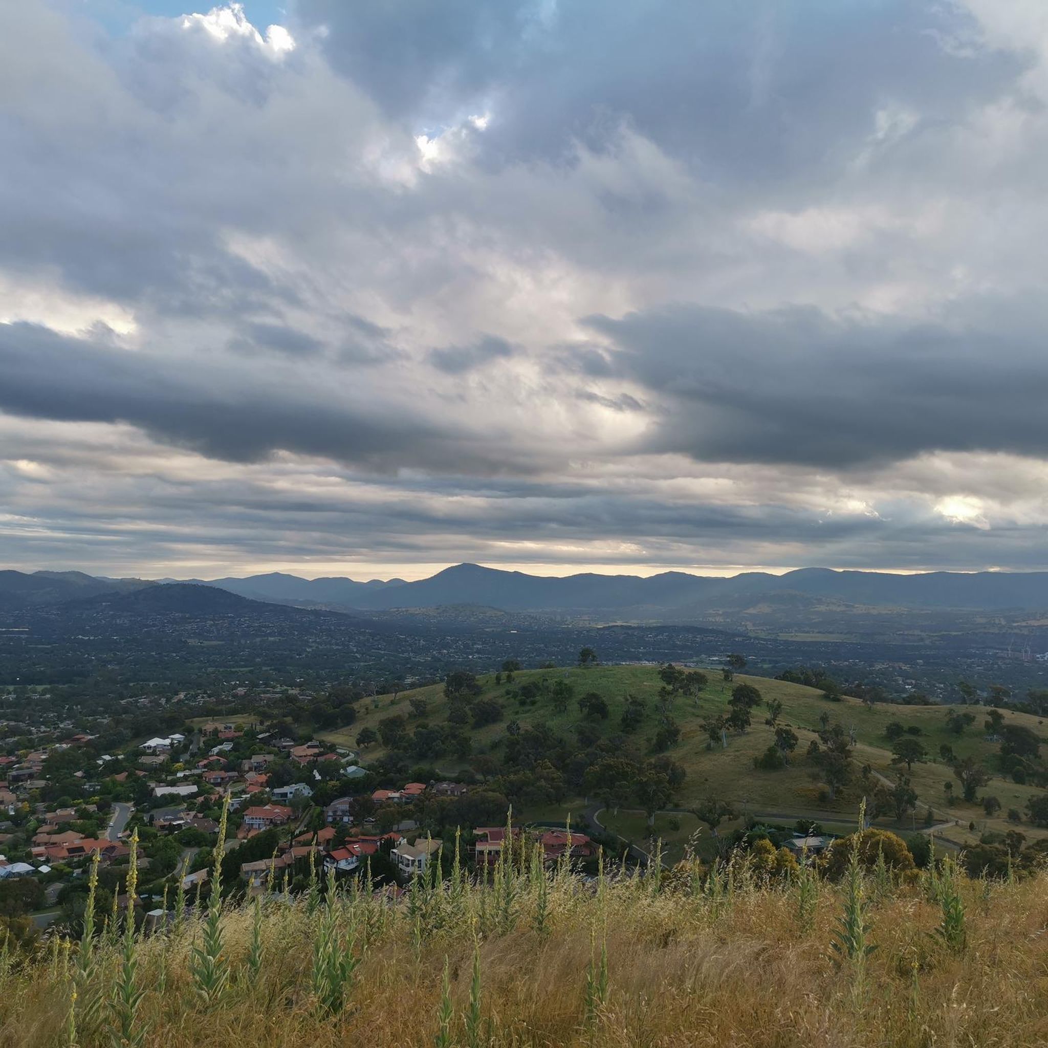
Mount Taylor Nature Reserve covers 300 hectares in Canberra’s south, with a network of walking tracks winding through one of the ACT’s largest remaining areas of grassy woodland. Popular for bushwalking, trail running, birdwatching, and nature photography, it’s an easy place to escape the city without travelling far. The reserve is home to a wide variety of native wildlife, including colourful parrots, honeyeaters, and, in spring, beautiful displays of wildflowers that dot the landscape.
0
0
Mount Ainslie Nature Reserve covers 637 hectares of native bushland on Canberra's northeast edge, adjacent to Mount Majura Nature Reserve. There is a network of shared trails that wind through eucalypt forest, leading to beautiful views of Lake Burley Griffin and the city from the summit. Aside from the popular trails, the reserve also protects critically endangered grassy woodlands and diverse habitats that support threatened birds, rare plants, and native wildlife.
0
0
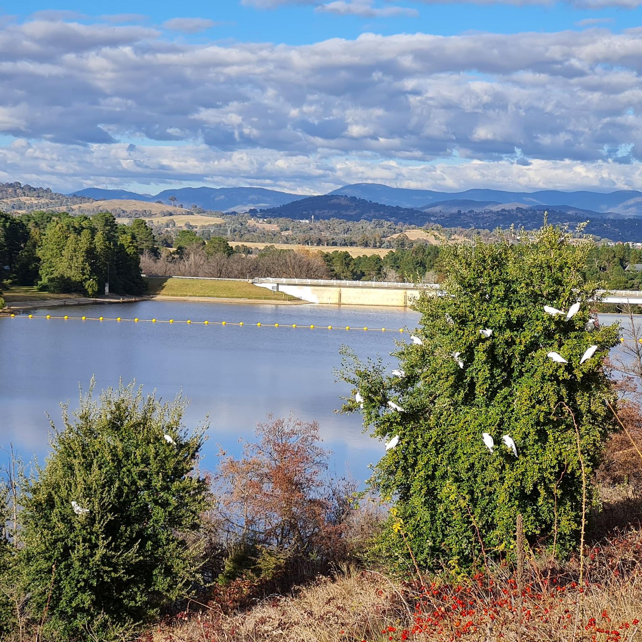
Point Hut Pond is an urban reservoir designed to improve stormwater quality before it flows into the Murrumbidgee River. It’s a picturesque centrepiece for recreation in the park, with calm water surrounded by open green space and a walking path around the shoreline. It’s a peaceful spot to enjoy the views, watch waterbirds, or cast a line from the bank.
0
0
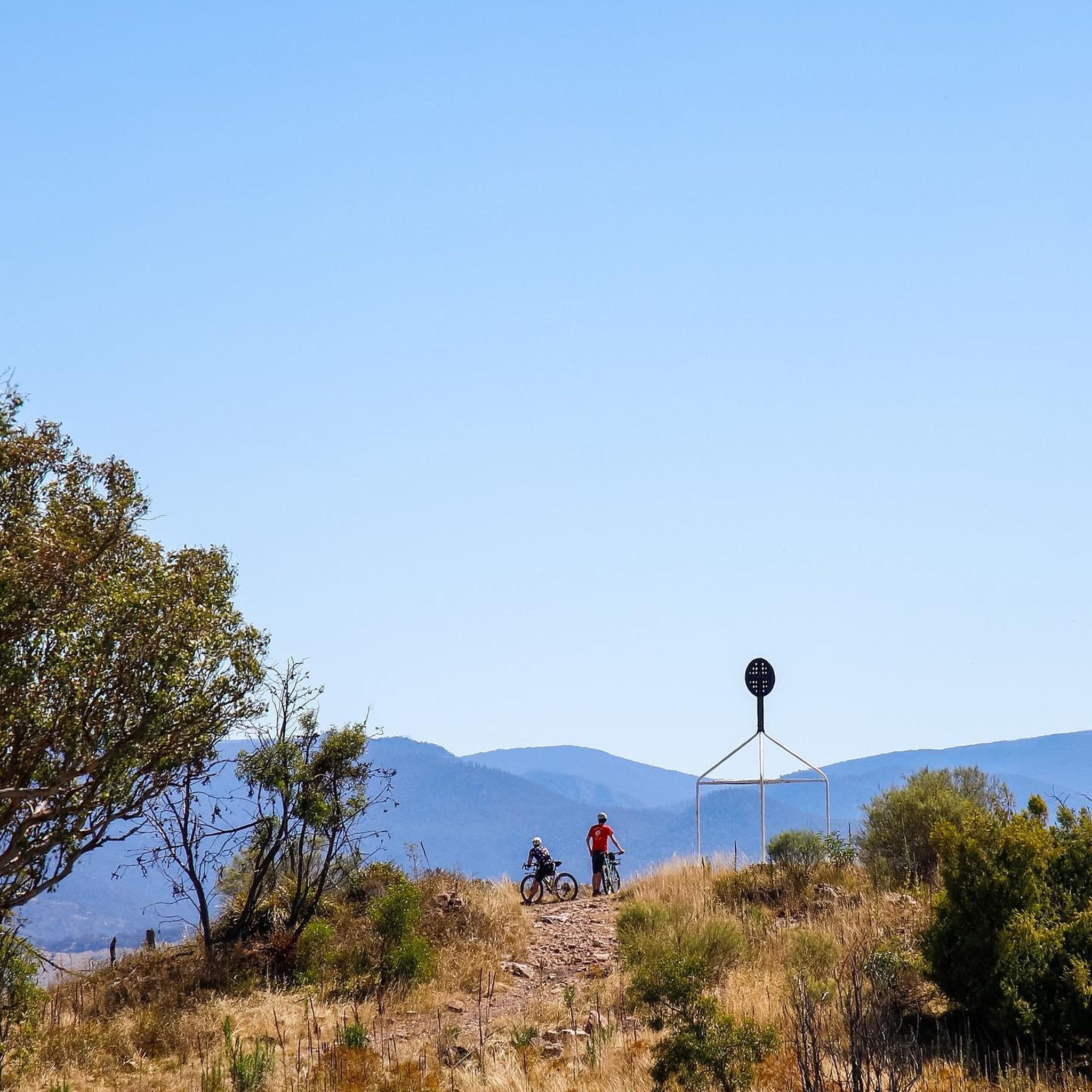
Canberra Centenary Trail is a long-distance walking and cycling route that forms a 145-kilometre loop around the Australian Capital Territory. In this rural section near Hall, the trail follows easy farm paths and grassy hills as it approaches the climb to One Tree Hill. This quieter part of the route offers expansive views of farmland and distant ranges, giving the walk a remote feel despite being close to Canberra.
0
0
Hall is a small historic village on the northern edge of the ACT and a common starting point for the route to One Tree Hill. The path from the village quickly leaves the streets behind and climbs through open farmland toward the ridge. Its quiet rural setting is a charming gateway to the surrounding countryside and nearby tracks.
0
0
Lake Ginninderra is a beautiful artificial lake, created in 1974 by damming Ginninderra Creek. There are several parklands, walking and cycling paths, and popular recreation areas near the Belconnen Town Centre and the University of Canberra that surround the lake. Its open shoreline and wetlands attract a variety of waterbirds, making it a well-known spot for walking, picnicking, and enjoying the lakeside views.
0
0
Ngadyung Beach is a small, sandy, quiet lakeside area nestled along Lake Tuggeranong. The beach sits along open grass and the shared path that forms part of the Lake Tuggeranong Circuit. It's a peaceful place to stop along the lake for views across the water and a short break during a walk or cycle.
0
0
Lake Tuggeranong is a beautiful artificial lake in Canberra’s Tuggeranong district, created in the 1980s as part of the suburb’s town centre development. There is a shared walking and cycling path that circles the lake, passing parks, wetlands, and recreation areas along the shoreline. The lake is a popular local spot ideal for walking, cycling, kayaking, and birdwatching.
0
0
Frequently Asked Questions
How many mountain bike trails are available in Wanniassa Hills Nature Reserve?
Wanniassa Hills Nature Reserve offers over 50 mountain bike trails, catering to a range of skill levels. You'll find a good mix of easy, moderate, and difficult routes to explore.
Are there mountain bike trails suitable for beginners or families in Wanniassa Hills Nature Reserve?
Yes, there are 15 easy mountain bike trails in the reserve, making it suitable for beginners and families. These routes typically feature gentler gradients and less technical terrain. An example is the Lake Tuggeranong loop from Viking Park, which is 10.4 miles (10.4 km) long and has minimal elevation gain.
What kind of terrain can I expect on the mountain bike trails in Wanniassa Hills Nature Reserve?
The reserve features diverse terrain, including open forests and woodlands, with varying gradients. You'll encounter designated management trails and sections of the Centenary Trail. The landscape includes areas of critically endangered Yellow Box–Blakely's Red Gum Grassy Woodland, and forested ridgelines with trees like Mealy Bundy, Scribbly Gum, and Red Box.
Are there challenging mountain bike routes for experienced riders?
Absolutely. Wanniassa Hills Nature Reserve has 9 difficult mountain bike trails for experienced riders seeking a challenge. These routes often feature significant elevation changes and more technical sections. For instance, the Cotter Campground – Evolution Jump Trail loop from Kambah covers 41.3 miles (66.4 km) with substantial climbing.
Are there any scenic viewpoints or natural features to look out for along the trails?
Yes, the reserve offers panoramic ridgetop views of southern Canberra and the Brindabella Mountains. You can ascend Mount Wanniassa for expansive vistas that may even include Telstra Tower in the distance. In spring, the reserve bursts with wildflower displays, and in late winter, slopes can be adorned with white Beard Heath flowers.
What are the typical lengths and durations of mountain bike trails in Wanniassa Hills Nature Reserve?
Trail lengths vary significantly. You can find shorter routes like the Lower Spine Pines Singletrack loop from Isaacs, which is 7.1 miles (11.4 km) and takes about 1 hour 15 minutes. Longer, more challenging routes, such as the Lower Spine Pines Singletrack – Bruce Ridge Trailhead and Map loop from Farrer, can be up to 67.6 miles (108.7 km) and require around 8 hours 50 minutes to complete.
What do other mountain bikers enjoy the most about mountain biking in Wanniassa Hills Nature Reserve?
The area is highly rated by the komoot community, with an average score of 4.6 stars from more than 15 reviews. Reviewers often praise the diverse woodlands, the varying gradients that cater to different abilities, and the rewarding ridgetop views.
Are there any loop trails for mountain biking in Wanniassa Hills Nature Reserve?
Yes, many of the mountain bike trails in Wanniassa Hills Nature Reserve are designed as loops, offering a convenient way to explore the area without retracing your steps. An example is the View from Farrer Ridge loop from Isaacs, a 10.4 miles (16.7 km) trail through open forest.
Is Wanniassa Hills Nature Reserve suitable for dog-friendly mountain biking?
Wanniassa Hills Nature Reserve is a nature reserve and important wildlife habitat. While some areas might permit dogs on leash, it's crucial to check local regulations regarding dogs on trails within the reserve to protect the vulnerable wildlife, such as the Pink-tailed Worm-lizard and nesting Wedge-tailed Eagles.
What is the best time of year for mountain biking in Wanniassa Hills Nature Reserve?
The reserve offers pleasant riding conditions for much of the year. Spring is particularly beautiful with abundant wildflower displays, and late winter sees white Beard Heath flowers. Consider avoiding the hottest parts of summer and checking local weather conditions for optimal comfort and trail conditions.
Is there parking available for mountain bikers at Wanniassa Hills Nature Reserve?
While specific parking areas are not detailed in the trail data, nature reserves typically have designated parking at key access points. It's advisable to check maps or local signage for official parking facilities near trailheads before your visit.
Most popular routes in Wanniassa Hills Nature Reserve

Get inspired with the komoot mobile app


Explore more
Browse the best MTB trails in other regions.
