The best road cycling routes in Gungaderra Grassland Nature Reserve
4.6
(47)
3,308
riders
114
rides
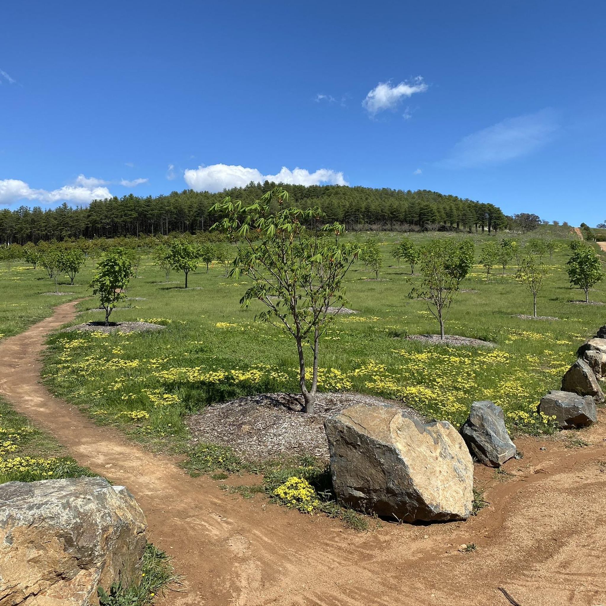
Road cycling routes in Gungaderra Grassland Nature Reserve traverse the northern fringes of Canberra, offering a mix of open grasslands and urban-adjacent landscapes. The terrain is generally undulating, with some routes featuring moderate climbs and descents. The area is characterized by its native grasslands, providing expansive views and a sense of openness for cyclists. These routes often connect to broader Canberra cycling networks, incorporating features like lakes and established parklands.
Best road cycling routes in Gungaderra Grassland Nature Reserve
- The…
Last updated: July 18, 2026
5.0
(3)
340
riders
89.8km
04:17
810m
810m
Moderate road ride. Good fitness required. Mostly well-paved surfaces and easy to ride.
63
riders
Moderate road ride. Good fitness required. Some segments of this route may be unpaved and difficult to ride.

Sign up for free
3.0
(1)
38
riders
24.7km
01:01
90m
90m
Easy road ride. Great for any fitness level. Mostly well-paved surfaces and easy to ride.
36
riders
57.0km
02:30
350m
350m
Moderate road ride. Good fitness required. Some segments of this route may be unpaved and difficult to ride.
33
riders
41.5km
01:51
290m
300m
Easy road ride. Great for any fitness level. Mostly well-paved surfaces and easy to ride.
Get access to more routes and recommendations from other explorers.
Sign up for free
Already have an account?
Our route recommendations are based on thousands of hikes, rides, and runs completed by other people on komoot.
Start today with a free account
Your next adventure awaits.
Login or Signup


Tips from the Community

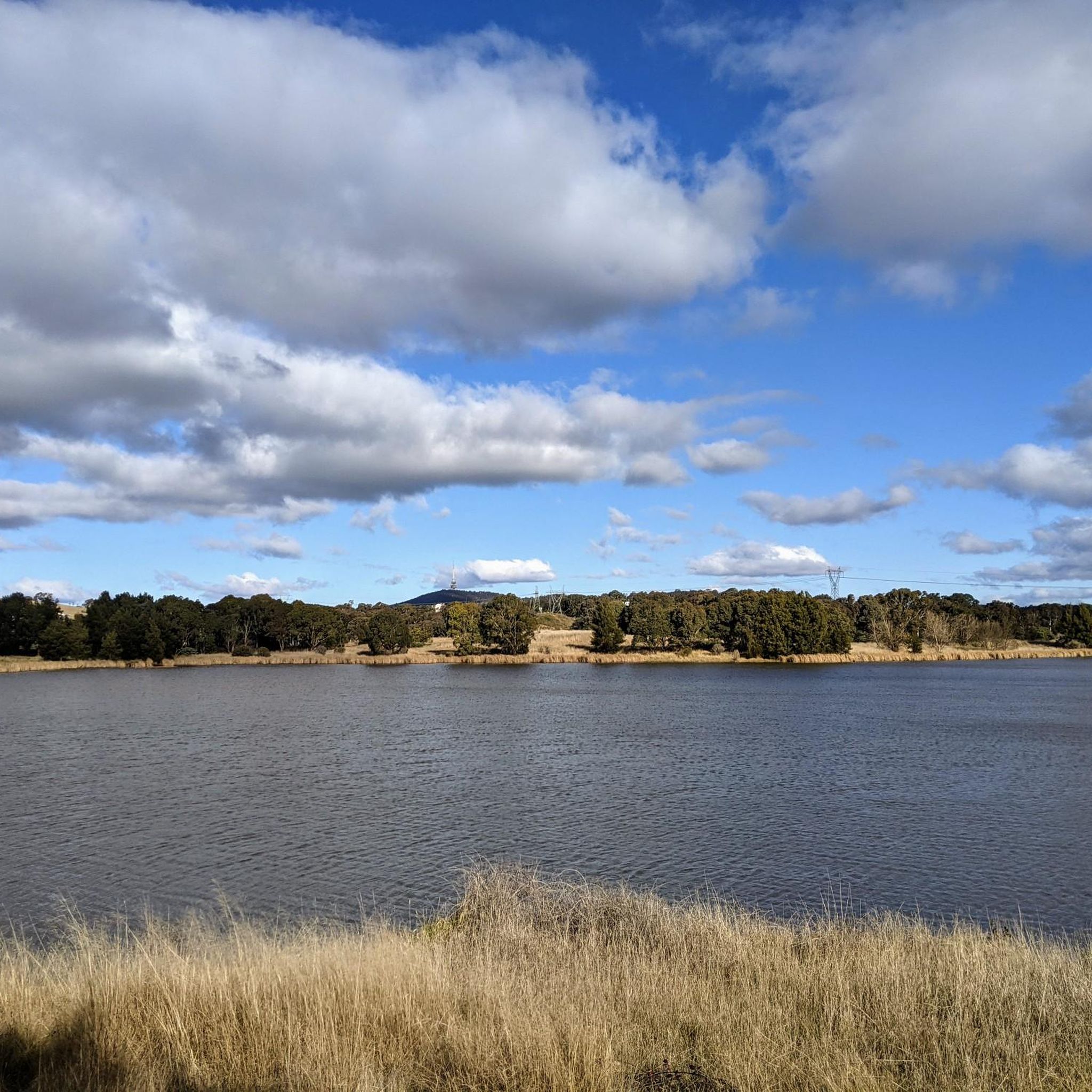
This is a lovely shared-use path that forms a continuous loop around Yerrabi Pond and is ideal for walking, running, and cycling. The mostly sealed track follows the shoreline, with beautiful views across the water and regular access points and rest areas. The path is relatively flat the entire way, and the scenic setting makes it an easy and enjoyable circuit for exploring the parklands around the pond.
0
0
Yerrabi Pond is a beautiful artificial lake created for stormwater management that also supports birdlife and local ecosystems. The pond is surrounded by open green space and wetlands, and is a great balance of both natural habitat and recreational space. Its peaceful setting and expansive views make it a focal point for plenty of outdoor activities in this area.
0
0
Yerrabi Pond District Park is a large open parkland that surrounds Yerrabi Pond. You'll find a mix of recreation spaces, playgrounds, and picnic areas, making it an ideal destination that offers something for everyone looking to enjoy some time outdoors. The park includes beautifully landscaped lawns, wetlands, and shared pathways for walking and cycling. With its accessible design and amenities, it's a popular outdoor hub for the Gungahlin community.
0
0
Scrivener Dam is a concrete gravity dam on the Molonglo River, completed in 1963, and is responsible for creating Lake Burley Griffin as a recreational and ornamental body of water. Named after surveyor Charles Scrivener, the dam is about 33 metres high and 319 metres long, with hydraulically operated fish‑belly flap gates that precisely control the lake levels and provide flood management capability. The dam also carries a roadway and the walking/cycling path, and helps form the backdrop to one of Canberra’s key engineering landmarks.
0
0
The Commonwealth Bridge is the major road crossing over Lake Burley Griffin, carrying six lanes of traffic plus a shared foot and cycle path between Canberra’s city centre and the Parliamentary Zone. It is an integral element of the lake’s heritage landscape, with beautiful views across the Molonglo River. The river runs roughly 115 kilometres from the Great Dividing Range through New South Wales into the Australian Capital Territory, where the Scrivener Dam impounds its waters to form Lake Burley Griffin. Historically rich in native fish and culturally important to local Aboriginal peoples, the river continues beyond Canberra to join the Murrumbidgee River as part of the larger Murray–Darling basin.
0
0
Yarralumla Bay District Park sits on the southern foreshore of Lake Burley Griffin, between Orana Bay and Blue Gum Point, with a sandy beach and designated areas for swimming, paddling, boating, and other water sports. The park includes shaded picnic areas right along the lake’s cycleway/walkway and has launching ramps, piers, and clubhouses for sailing and rowing activities. It is a popular spot for year-round lakeside walking and water‑based recreation.
0
0
The Lake Ginninderra Shared Path is a sealed multi-use route that loops around the shoreline of Lake Ginninderra through parklands, recreation areas, and sections of lakeside bushland. Popular with walkers, runners, and cyclists, the route offers continuous, beautiful views of the water the entire way, especially if you're here at sunset.
0
0
Emu Bank Bridge is a dedicated pedestrian and cycling bridge that crosses Lake Ginninderra, connecting the Belconnen Town Centre waterfront with parkland and walking paths on the opposite shore. As part of the lake’s shared path network, there are fantastic panoramic views across the water toward the surrounding suburbs and skyline of Belconnen.
0
0
Frequently Asked Questions
What is the general difficulty level of road cycling routes in Gungaderra Grassland Nature Reserve?
The routes in Gungaderra Grassland Nature Reserve offer a range of difficulties. You'll find many easy routes, with 75 classified as such, and 46 moderate routes. There is also one difficult route for experienced cyclists seeking a challenge. The terrain is generally undulating, with some routes featuring moderate climbs and descents.
Are there road cycling routes suitable for beginners or families in Gungaderra Grassland Nature Reserve?
Yes, Gungaderra Grassland Nature Reserve has numerous options for beginners and families. There are 75 easy routes available. A great example is the Lake Ginninderra – Lake Ginninderra loop from Gungahlin Place, which is an easy 25.1 km ride with minimal elevation gain, perfect for a relaxed outing.
What kind of scenery can I expect while road cycling in Gungaderra Grassland Nature Reserve?
Road cycling in Gungaderra Grassland Nature Reserve offers expansive views of native grasslands, urban parklands, and lake-side paths. Routes often connect to broader Canberra cycling networks, incorporating features like lakes and established arboretums. You might also encounter views of key Canberra landmarks on some routes.
When is the best time of year to road cycle in Gungaderra Grassland Nature Reserve?
Canberra, where Gungaderra Grassland Nature Reserve is located, experiences distinct seasons. Spring (September-November) and Autumn (March-May) generally offer the most pleasant cycling conditions with mild temperatures. Summer can be hot, and winter can be cold, but cycling is possible year-round with appropriate gear.
Are there any loop trails for road cycling in Gungaderra Grassland Nature Reserve?
Yes, many of the road cycling routes in the area are designed as loops, allowing you to start and finish at the same point. For instance, the popular View of Cotter Dam – Scrivener Dam loop from Gungahlin Place is a substantial loop, and the Canberra National Arboretum – Scrivener Dam loop from Gungahlin Place also offers a circular experience.
What are the typical distances and durations for road cycling routes here?
Routes vary significantly in length and duration. You can find shorter, easy loops like the Lake Ginninderra – Lake Ginninderra loop from Gungahlin Place at 25.1 km (approx. 1 hour), up to longer, more challenging rides such as the View of Cotter Dam – Scrivener Dam loop from Gungahlin Place, which is 90.1 km and takes around 4 hours 20 minutes.
What do other road cyclists enjoy most about road cycling in Gungaderra Grassland Nature Reserve?
The area is highly rated by the komoot community, with an average score of 4.9 stars from over 40 reviews. Reviewers often praise the varied terrain, from open grasslands to urban parklands and lake-side paths, and the well-maintained network that offers options for different ability levels.
Are there any cafes or places to refuel near the road cycling routes?
While Gungaderra Grassland Nature Reserve itself is a natural area, its proximity to Canberra's northern fringes and suburbs like Gungahlin means you'll find various cafes, shops, and amenities nearby. Many routes start from or pass through areas with convenient access to refreshments.
Can I see wildlife while road cycling in Gungaderra Grassland Nature Reserve?
As a nature reserve, Gungaderra Grassland is home to various native wildlife, particularly birds and kangaroos. While cycling, especially during quieter times of day, you have a good chance of spotting local fauna in their natural habitat within the grasslands.
How does road cycling in Gungaderra Grassland Nature Reserve compare to other Canberra trails?
Gungaderra Grassland Nature Reserve offers a unique blend of open grassland scenery and urban-adjacent cycling. It provides a sense of openness distinct from the more forested or intensely urban routes found elsewhere in Canberra, while still connecting to the broader city cycling network and its landmarks.
How many road cycling routes are available in Gungaderra Grassland Nature Reserve?
There are over 120 road cycling routes available for exploration in Gungaderra Grassland Nature Reserve, catering to a wide range of preferences and skill levels.
Is public transport available to access the road cycling routes?
Given its location on the northern fringes of Canberra, Gungaderra Grassland Nature Reserve is accessible via Canberra's public transport network, particularly bus services that connect to nearby suburbs like Gungahlin. It's advisable to check local bus routes and schedules for the most convenient access points.
Most popular routes in Gungaderra Grassland Nature Reserve

Get inspired with the komoot mobile app


Explore more
Browse the best Road cycling routes in other regions.
