The best walks and hikes in Gungaderra Grassland Nature Reserve
4.4
(61)
2,143
hikers
84
hikes
Hiking in Gungaderra Grassland Nature Reserve offers diverse landscapes, including vast grasslands and the prominent Gungahlin Hill. The reserve protects critically endangered Natural Temperate Grassland and features a 1.9 km stretch of Gungaderra Creek with wetland areas. Hikers will encounter old scribbly gums and brittle gums scattered across the landscape. This 297-hectare protected area provides a range of experiences for nature enthusiasts.
Best hiking trails in Gungaderra Grassland Nature Reserve
- The most popular hiking route is Mulligans Flat Nature Reserve loop from Manning Clark North, a 10.3 miles (16.6 km) trail that takes 4 hours 24 minutes to complete. This moderate route explores the adjacent nature reserve.
- Another top favourite among local hikers is Mount Majura Summit – Hackett Trailhead loop from Phillip Avenue, a moderate 7.0 miles (11.3 km) path. This trail offers views from Mount Majura.
- Local hikers also love the Mulligans Flat Nature Reserve loop from Forde, a 3.7 miles (5.9 km) trail leading through varied terrain, often completed in about 1 hour 34 minutes.
- Hiking in Gungaderra Grassland Nature Reserve is defined by expansive grasslands, the ascent of Gungahlin Hill, and the presence of Gungaderra Creek. The network offers options for different ability levels, from easy walks to moderate hikes.
- The routes in Gungaderra Grassland Nature Reserve are highly rated by the komoot community with an average score of 4.4 stars from over 60 reviews. More than 2000 hikers have used komoot to explore Gungaderra Grassland Nature Reserve's varied terrain.
Last updated: July 4, 2026
80
hikers
4.07km
01:02
10m
10m
Easy hike. Great for any fitness level. Easily-accessible paths. Suitable for all skill levels.
10
hikers
16.6km
04:25
170m
170m
Moderate hike. Good fitness required. Easily-accessible paths. Suitable for all skill levels.

Sign up for free
5.0
(1)
3
hikers
11.3km
03:19
290m
290m
Moderate hike. Good fitness required. Easily-accessible paths. Suitable for all skill levels.
13
hikers
5.88km
01:35
70m
70m
Easy hike. Great for any fitness level. Easily-accessible paths. Suitable for all skill levels.
4
hikers
7.60km
02:09
160m
160m
Moderate hike. Good fitness required. Easily-accessible paths. Suitable for all skill levels.
Get access to more routes and recommendations from other explorers.
Sign up for free
Already have an account?
Our route recommendations are based on thousands of hikes, rides, and runs completed by other people on komoot.
Start today with a free account
Your next adventure awaits.
Login or Signup
Popular around Gungaderra Grassland Nature Reserve

Tips from the Community

Mount Majura rises to 890 metres and is the highest peak in suburban Canberra. The summit can be reached by several tracks, including Mount Majura from Mackenzie Street, and the Mount Majura Ssummit loop. The summit is marked with a white Airservices Australia radar tower, and there are nice views from beyond the trees. The area is dog-friendly on a leash, popular with locals, runners, bushwalkers and birdwatchers.
1
0

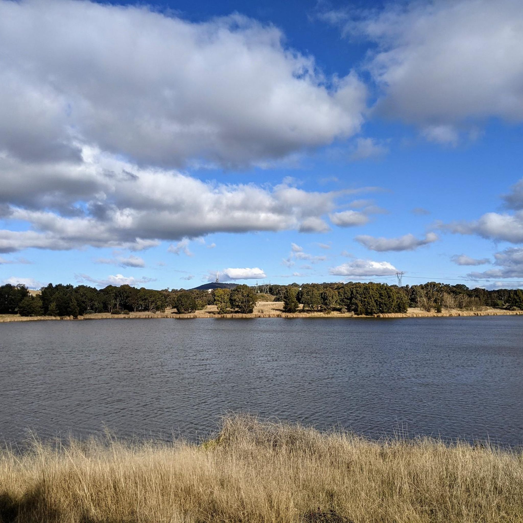
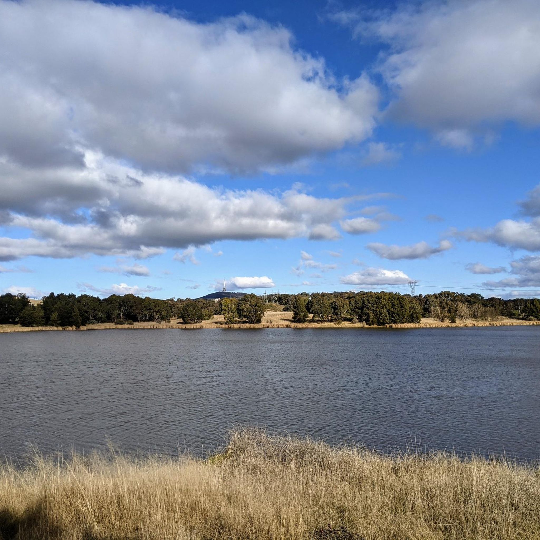
This is a lovely shared-use path that forms a continuous loop around Yerrabi Pond and is ideal for walking, running, and cycling. The mostly sealed track follows the shoreline, with beautiful views across the water and regular access points and rest areas. The path is relatively flat the entire way, and the scenic setting makes it an easy and enjoyable circuit for exploring the parklands around the pond.
0
0
Yerrabi Pond is a beautiful artificial lake created for stormwater management that also supports birdlife and local ecosystems. The pond is surrounded by open green space and wetlands, and is a great balance of both natural habitat and recreational space. Its peaceful setting and expansive views make it a focal point for plenty of outdoor activities in this area.
0
0
Yerrabi Pond District Park is a large open parkland that surrounds Yerrabi Pond. You'll find a mix of recreation spaces, playgrounds, and picnic areas, making it an ideal destination that offers something for everyone looking to enjoy some time outdoors. The park includes beautifully landscaped lawns, wetlands, and shared pathways for walking and cycling. With its accessible design and amenities, it's a popular outdoor hub for the Gungahlin community.
0
0

Late evening views emphasise characteristics of Canberra that one does not get from Mt Ainslie or Black Mountain.
0
0

Great spot for sunsets.
0
0

This is the highest point within the urban boundaries of Canberra
1
0

Parking area and gate. No water or toilets but the start of the Blue Metal Road access to Mt Majura and the Bicentennial trail and road running around the north and south between the housing and the nature reserves
0
0
Frequently Asked Questions
What kind of terrain can I expect when hiking in Gungaderra Grassland Nature Reserve?
The reserve features diverse landscapes, primarily vast expanses of critically endangered Natural Temperate Grassland. You'll also encounter the prominent Gungahlin Hill, rising to 652 meters, and a 1.9 km stretch of Gungaderra Creek with wetland areas. Scattered old scribbly gums and brittle gums add character to the open landscape.
Are there hiking trails suitable for different fitness levels?
Yes, Gungaderra Grassland Nature Reserve offers a range of management trails suitable for various skill levels. You can find options from easy walks to more moderate hikes requiring good fitness. Overall, there are over 90 hiking routes available, with approximately 50 easy and 44 moderate trails.
What natural features or landmarks can I see while hiking in the reserve?
Hikers can enjoy expansive views across the vast grasslands and from the summit of Gungahlin Hill, which offers panoramas of the surrounding Canberra area, including Mount Ainslie, Mount Majura, and Black Mountain. The reserve also features Gungaderra Creek and distinctive old scribbly and brittle gums.
Is Gungaderra Grassland Nature Reserve suitable for families with children?
The reserve's extensive network of management trails includes many paths suitable for all skill levels, making it a good option for family walks. The open grasslands and opportunities for wildlife observation can be engaging for children, though specific 'family-friendly' designated routes are not highlighted. Always check the difficulty of a chosen route.
Can I bring my dog on the trails in Gungaderra Grassland Nature Reserve?
No, dogs are not permitted within Gungaderra Grassland Nature Reserve. This restriction is in place to protect the sensitive natural values and vulnerable wildlife species that inhabit the reserve.
Where can I park when visiting Gungaderra Grassland Nature Reserve?
The reserve is accessible via stiles off Bollard Street in Palmerston and from Gungahlin Drive. Parking is typically available near these access points, though specific designated car parks are not detailed. It's advisable to check local signage upon arrival.
What kind of wildlife might I encounter in Gungaderra Grassland Nature Reserve?
The reserve is a haven for native wildlife. You have a good chance of observing kangaroos in the grasslands. It is also a critical habitat for vulnerable species such as the Striped Legless Lizard, Key's Matchstick Grasshopper, Perunga Grasshopper, and the endangered Golden Sun Moth, along with various rare and threatened woodland birds.
Are there any circular walks available in or near Gungaderra Grassland Nature Reserve?
While the guide focuses on the reserve itself, many routes in the broader area are circular. For example, you could explore the Mulligans Flat Nature Reserve loop from Manning Clark North, a 16.6 km moderate trail, or the Mount Majura Summit – Hackett Trailhead loop from Phillip Avenue, an 11.3 km moderate path offering great views.
What do other hikers enjoy most about hiking in Gungaderra Grassland Nature Reserve?
The area is highly rated by the komoot community, with an average score of 4.36 stars from over 50 reviews. Hikers often praise the expansive grasslands, the sense of openness, and the opportunities for wildlife observation. The variety of trails for different abilities is also frequently appreciated.
Are there any cultural or historical sites within Gungaderra Grassland Nature Reserve?
Yes, Gungaderra Grassland Nature Reserve is located on Ngunnawal Country and contains several known Aboriginal heritage sites, including surface scatters of stone artifacts, reflecting ancient and more recent Aboriginal occupation. Nearby, Gubur Dhaura is a Ngunnawal ochre ground site, which can be incorporated into longer walks.
What is the best time of year to hike in Gungaderra Grassland Nature Reserve?
While specific seasonal recommendations are not provided, the open nature of the grasslands suggests that spring and autumn would offer pleasant temperatures for hiking. Summers can be hot, and winters can be cool, so checking local weather conditions before your visit is always recommended.
Are there any restrictions on activities within Gungaderra Grassland Nature Reserve?
To protect its sensitive natural values, activities such as cycling (including mountain biking), bringing dogs, and horse riding are not permitted within the reserve. The area is primarily designated for walking and nature observation.
Where can I find more official information about Gungaderra Grassland Nature Reserve?
For additional official information regarding the reserve, including management plans and detailed regulations, you can visit the ACT Government's Parks and Conservation Service website: act.gov.au.
Most popular routes in Gungaderra Grassland Nature Reserve

Get inspired with the komoot mobile app


Explore more
Browse the best Hikes in other regions.
