
The best running trails in Tocaíma
5.0
(4)
135
runners
3
runs
Jogging in Tocaíma, a municipality in Cundinamarca, Colombia, offers a warm and dry climate ideal for year-round outdoor activities. The region is characterized by diverse natural features, including natural reserves and ancient paths, providing varied terrain for runners. Situated at an altitude of 400 meters, Tocaíma's landscape includes gentle hills and scenic viewpoints, making it suitable for different running preferences.
Best jogging routes in Tocaíma
- The most popular jogging route is Running loop from Anapoima, a 6.3 miles (10.2…
Last updated: July 14, 2026
5.0
(2)
31
runners
10.2km
01:08
120m
120m
Moderate run. Good fitness required. Mostly paved surfaces. Suitable for all skill levels.
32
runners
9.37km
00:58
40m
40m
Moderate run. Good fitness required. Mostly paved surfaces. Suitable for all skill levels.

Sign up for free
5.0
(2)
26
runners
Moderate run. Good fitness required. Mostly paved surfaces. Suitable for all skill levels.
15
runners
8.02km
00:50
30m
30m
Moderate run. Good fitness required. Mostly paved surfaces. Suitable for all skill levels.
7
runners
4.96km
00:31
20m
20m
Easy run. Great for any fitness level. Mostly paved surfaces. Suitable for all skill levels.
Our route recommendations are based on thousands of hikes, rides, and runs completed by other people on komoot.
Start today with a free account
Your next adventure awaits.
Login or Signup
Popular around Tocaíma

Frequently Asked Questions
How many running routes are available in Tocaíma?
Tocaíma offers a selection of running routes, with at least 3 documented trails on komoot. These routes cater to various preferences, ranging from easy to moderate difficulty levels.
What is the typical climate for jogging in Tocaíma?
Tocaíma, known as the 'Health City of Colombia,' boasts a warm and dry climate with an average annual temperature of 27°C. This makes it an ideal location for year-round outdoor activities like jogging, offering fresh air and high oxygen levels away from urban pollution.
What kind of terrain can I expect on Tocaíma's running trails?
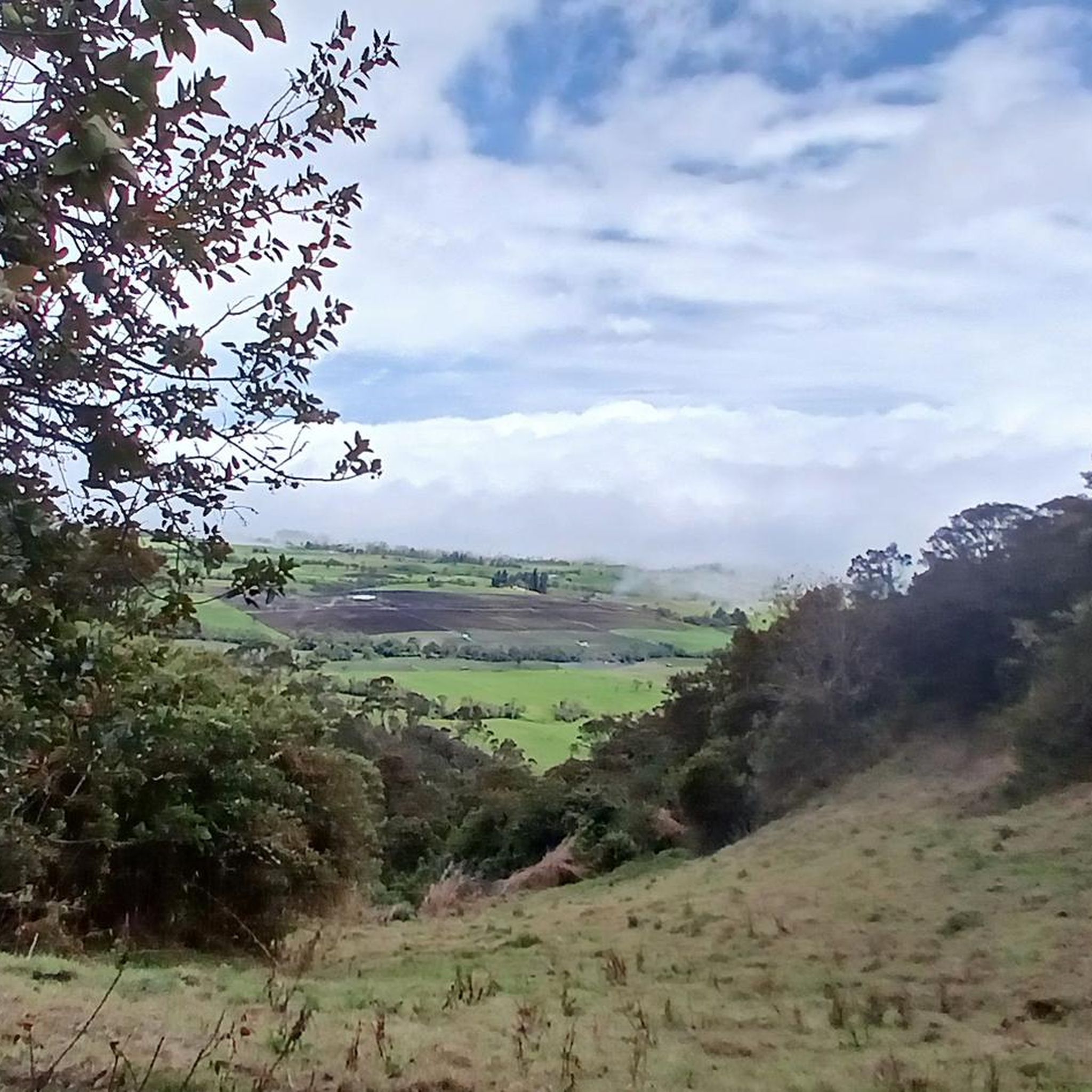
The running trails in Tocaíma feature diverse natural landscapes. You can expect varied terrain including paths through natural reserves, ancient 'caminos reales,' and areas with gentle hills leading to scenic viewpoints. This variety provides an engaging experience for runners.
Are there any easy running routes suitable for beginners in Tocaíma?
Yes, Tocaíma offers easy running options. For instance, the Running loop from Compensar Lagomar - El Peñón is an easy 4.9 km (3.1 miles) route, perfect for those looking for a less strenuous jog.
What do other runners say about the trails in Tocaíma?
The running routes in Tocaíma are highly regarded by the komoot community, holding an impressive average rating of 5.0 stars from more than 4 reviews. Over 130 runners have already explored Tocaíma's varied terrain using komoot, praising its natural beauty and pleasant conditions.
Are there any running routes that feature natural reserves?
Absolutely. You can explore routes that take you through Tocaíma's natural beauty. A great option is the Running loop from Reserva Natural de la Sociedad Civil Bosque La Liborina, an 8.2 km (5.1 miles) trail that immerses you in the serene landscapes of a natural reserve.
Can I find running routes with scenic views or landmarks in Tocaíma?
Yes, Tocaíma's landscape includes several scenic viewpoints ('miradores') and natural features. While specific landmarks on routes are not detailed, the region's 'caminos reales' and areas around sulfur springs offer pleasant surroundings. The Lago de la Tabaquera loop from Condominio el Peñón, for example, provides scenic lakeside views.
Are there any circular running routes in Tocaíma?
Many of Tocaíma's running paths are designed as loops, offering convenient circular routes. Examples include the popular Running loop from Anapoima and the Lago Mayor loop from Lago Malnombre, allowing you to start and finish at the same point.
What is the best time of year to go running in Tocaíma?
Given Tocaíma's warm and dry climate with an average annual temperature of 27°C, it is suitable for running year-round. The consistent pleasant weather makes any season a good time to enjoy the trails.
Are there any running routes near water bodies in Tocaíma?
Yes, you can find running routes that offer views of water bodies. The Lago de la Tabaquera loop from Condominio el Peñón is a moderate 9.4 km (5.8 miles) path that features pleasant lakeside views, providing a refreshing backdrop for your run.
What are the elevation changes like on Tocaíma's running trails?
Tocaíma's landscape includes gentle hills, meaning you can expect some moderate elevation changes on the trails. For example, the Running loop from Anapoima has an elevation gain of approximately 116 meters (380 feet), offering a good workout without being overly strenuous.
Most popular routes in Tocaíma

Get inspired with the komoot mobile app


Explore more
Browse the best Running Trails & Routes in other regions.
