The best MTB trails in Tocaíma
4.8
(43)
390
riders
20
rides
Mountain bike trails in Tocaíma, Cundinamarca, offer a diverse landscape for outdoor enthusiasts. The region features undulating topography with ascents ranging from around 400 meters to peaks over 1,000 meters above sea level. Riders can explore a network of routes through lush natural surroundings, diverse ecosystems, and scenic views. This varied terrain provides a robust environment for active pursuits.
Best mountain bike trails in Tocaíma
- The most popular mountain bike trail is Anapoima loop from Apulo, an 18.2 miles…
Last updated: July 15, 2026
5.0
(2)
26
riders
29.4km
02:33
490m
490m
Moderate mountain bike ride. Good fitness required. Suitable for all skill levels.
5.0
(2)
12
riders
70.2km
04:00
530m
530m
Moderate mountain bike ride. Good fitness required. Suitable for all skill levels.

Sign up for free
5.0
(1)
10
riders
53.7km
04:17
1,380m
1,380m
Hard mountain bike ride. Very good fitness required. Suitable for all skill levels.
5.0
(1)
9
riders
38.5km
02:24
470m
470m
Moderate mountain bike ride. Good fitness required. Suitable for all skill levels.
3.0
(2)
9
riders
43.5km
03:19
620m
620m
Moderate mountain bike ride. Good fitness required. Suitable for all skill levels.
Get access to more routes and recommendations from other explorers.
Sign up for free
Already have an account?
Our route recommendations are based on thousands of hikes, rides, and runs completed by other people on komoot.
Start today with a free account
Your next adventure awaits.
Login or Signup
Popular around Tocaíma


Tips from the Community

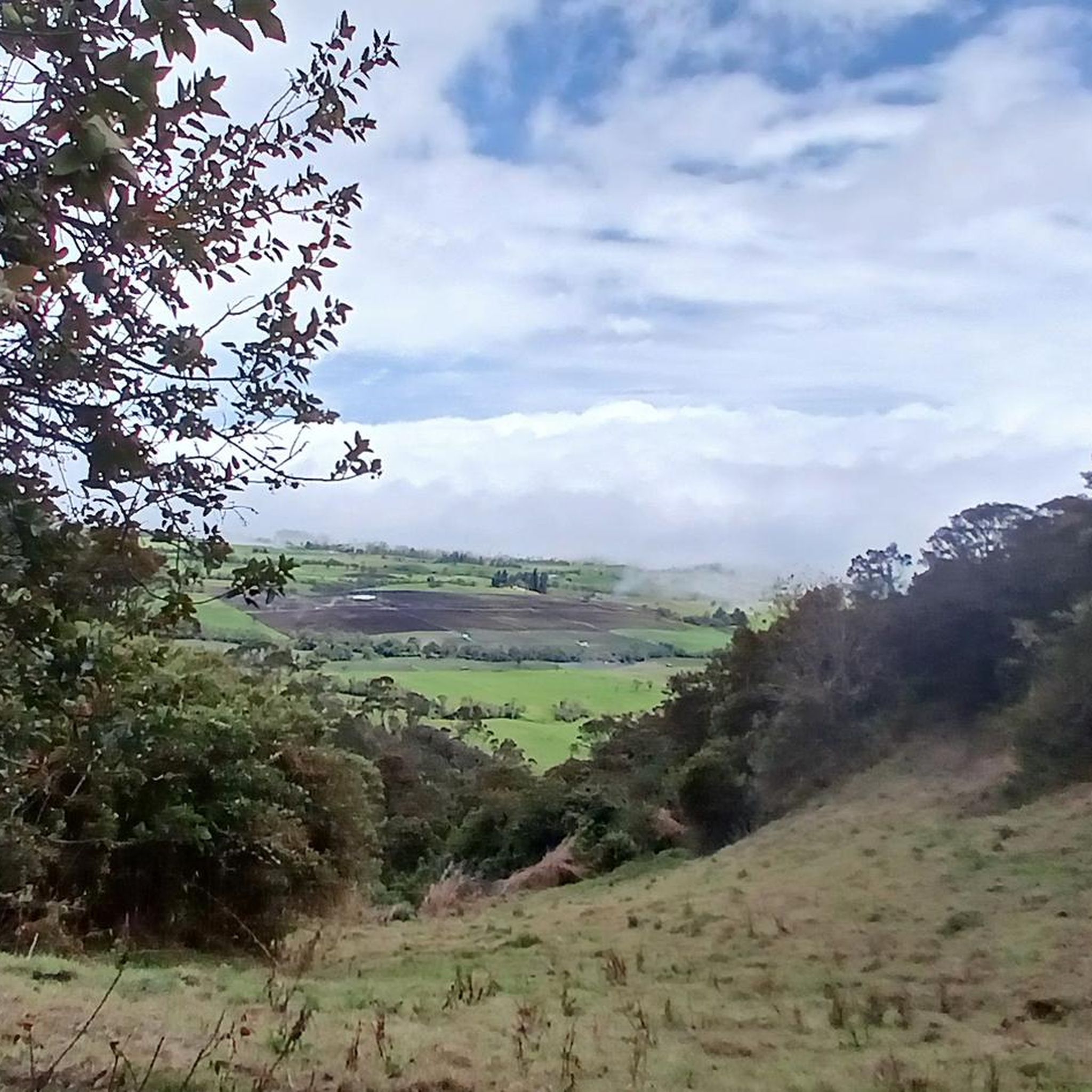
enjoy the view
0
0
Frequently Asked Questions
How many mountain bike trails are available in Tocaíma?
Tocaíma offers a robust network of over 20 mountain bike trails, catering to various skill levels and preferences. These routes traverse diverse landscapes, from lush natural surroundings to areas with significant elevation changes.
What kind of terrain can I expect on mountain bike trails in Tocaíma?
You can expect undulating topography with ascents ranging from around 400 meters to peaks over 1,000 meters above sea level. The trails lead through diverse ecosystems and lush natural surroundings, providing varied riding experiences and scenic views.
Are there mountain bike trails suitable for beginners in Tocaíma?
Yes, Tocaíma has a few trails categorized as easy, perfect for beginners or those looking for a more relaxed ride. Overall, the region offers a mix of easy, moderate, and difficult routes to suit different experience levels.
Are there any challenging mountain bike routes for experienced riders?
Absolutely. For experienced riders seeking a challenge, Tocaíma features several difficult routes. One such option is the Alto de Ima loop from Agua de Dios, a 53.8 km trail with significant climbs, often completed in about 4 hours 23 minutes.
What are some notable natural features or landmarks I might see while mountain biking in Tocaíma?
While riding, you might encounter diverse regional flora and fauna. The area is also known for natural features like Cerro Guacana and the unique Pocitos Azufrados (sulfurous pools), which offer interesting points of interest within their natural settings.
What is the best time of year to go mountain biking in Tocaíma?
Tocaíma enjoys a pleasant climate with an average annual temperature of 27 °C, making it an agreeable location for outdoor activities throughout much of the year. This favorable climate allows for mountain biking during most seasons.
Are there any loop mountain bike trails in Tocaíma?
Yes, many of the trails in Tocaíma are designed as loops, offering a convenient way to explore the region without retracing your path. An example is the Cueva del Indio loop from Tocaima, a moderate 66.6 km route that traverses diverse landscapes.
How long do mountain bike trails in Tocaíma typically take to complete?
Trail durations vary significantly based on distance and difficulty. For instance, the moderate Anapoima loop from Apulo, which is 29.4 km, typically takes around 2 hours 33 minutes. Longer routes, like the 53.8 km Alto de Ima loop from Agua de Dios, can take over 4 hours.
What do other mountain bikers say about the trails in Tocaíma?
The mountain bike routes in Tocaíma are highly rated by the komoot community, with an average score of 4.8 stars from over 70 reviews. Riders often praise the varied terrain, diverse ecosystems, and the scenic beauty of the lush natural surroundings.
Are there any mountain bike routes that pass by the Cyclist Monument?
Yes, there is a specific route that incorporates this landmark. The Cyclist Monument – Anapoima loop from Apulo is a moderate 43.5 km trail that includes this point of interest, offering both a good ride and a cultural highlight.
Is Tocaíma considered a good destination for outdoor activities beyond mountain biking?
Yes, Tocaíma is known as 'Ciudad Salud de Colombia' and supports a range of outdoor activities. Besides mountain biking, visitors can enjoy extreme sports like paragliding, river floating, kayaking on a dam, rock climbing, and hiking, thanks to its varied terrain and natural attractions.
Most popular routes in Tocaíma

Get inspired with the komoot mobile app


Explore more
Browse the best MTB trails in other regions.
