The best walks and hikes in Subachoque
4.8
(5)
57
hikers
4
hikes
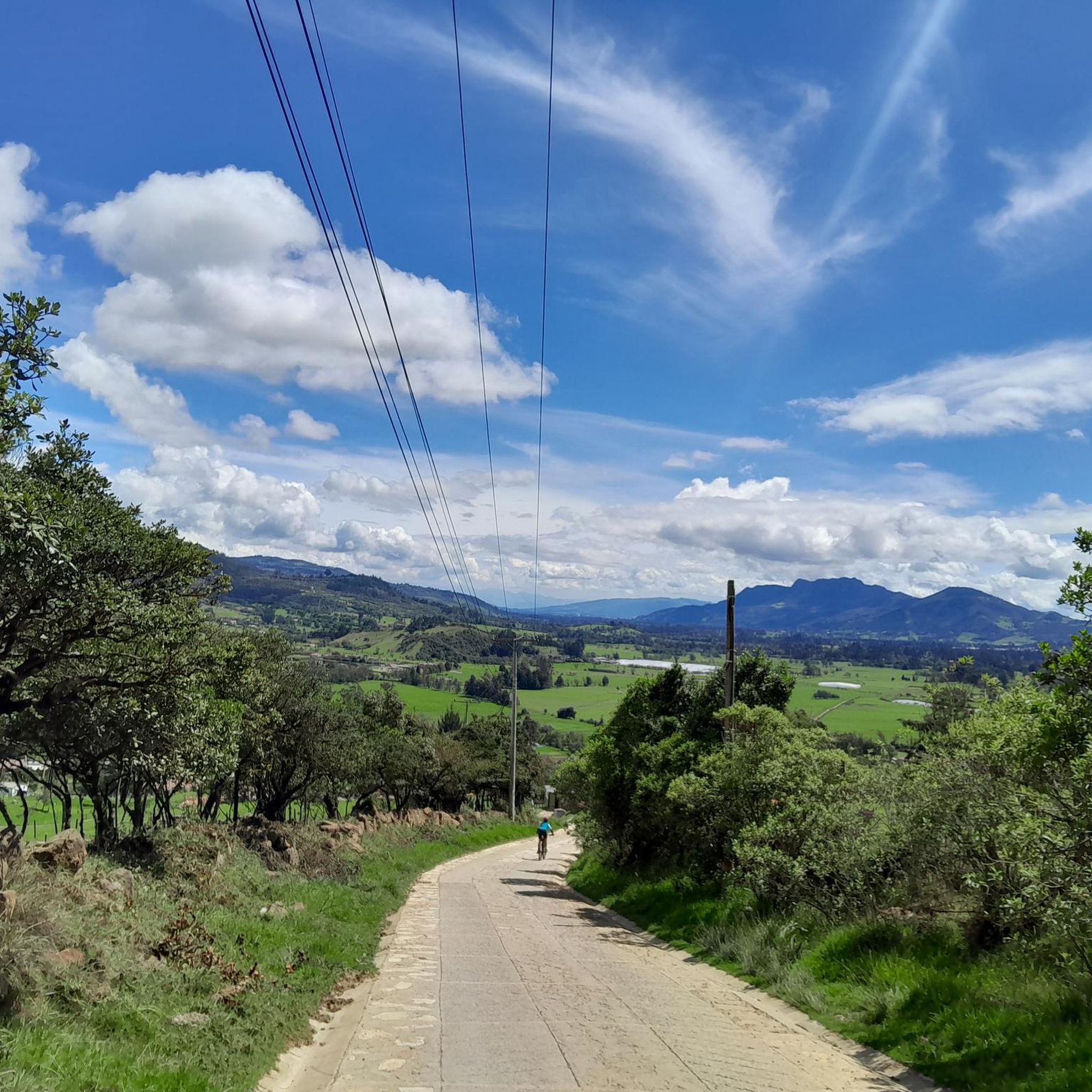
Hiking in Subachoque offers varied landscapes characterized by rolling hills and agricultural areas, providing diverse terrain for outdoor exploration. The region features trails with moderate elevation changes, suitable for different fitness levels. Hikers can expect a mix of open country paths and routes that pass through local communities. The natural environment around Subachoque supports a range of hiking experiences.
Best hiking trails in Subachoque
- The most popular hiking route is La Cumbre loop from Chuntame, a 3.6 miles (5.7…
Last updated: July 15, 2026
5.0
(1)
25
hikers
5.79km
01:50
230m
230m
Easy hike. Great for any fitness level. Easily-accessible paths. Suitable for all skill levels.
4.0
(1)
11
hikers
9.69km
02:58
280m
280m
Moderate hike. Good fitness required. Easily-accessible paths. Suitable for all skill levels.

Sign up for free
5.0
(1)
5
hikers
Moderate hike. Good fitness required. Easily-accessible paths. Suitable for all skill levels.
5.0
(1)
5
hikers
6.41km
02:01
250m
250m
Moderate hike. Good fitness required. Easily-accessible paths. Suitable for all skill levels.
6
hikers
3.60km
01:06
110m
120m
Easy hike. Great for any fitness level. Easily-accessible paths. Suitable for all skill levels.
Our route recommendations are based on thousands of hikes, rides, and runs completed by other people on komoot.
Start today with a free account
Your next adventure awaits.
Login or Signup
Tips from the Community

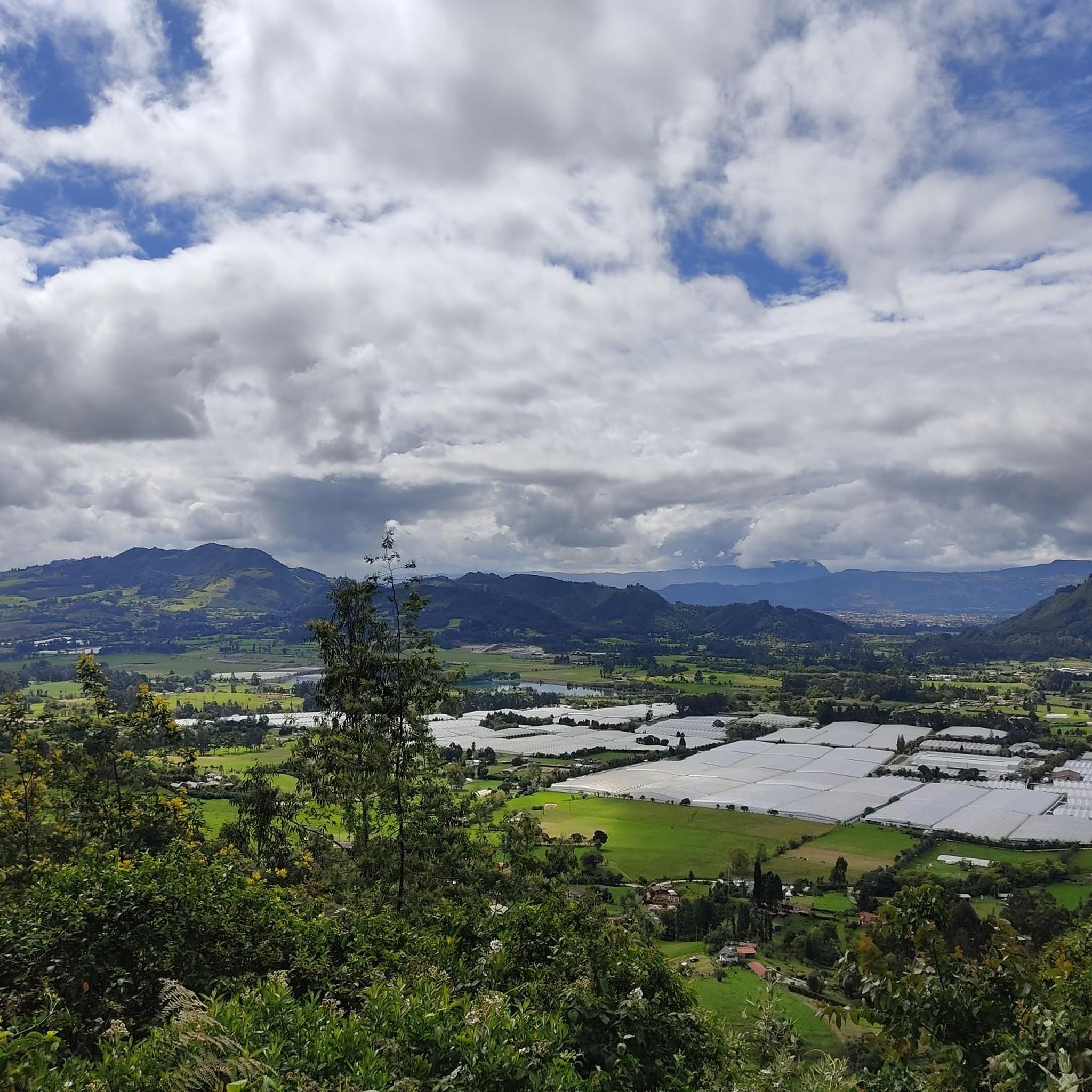
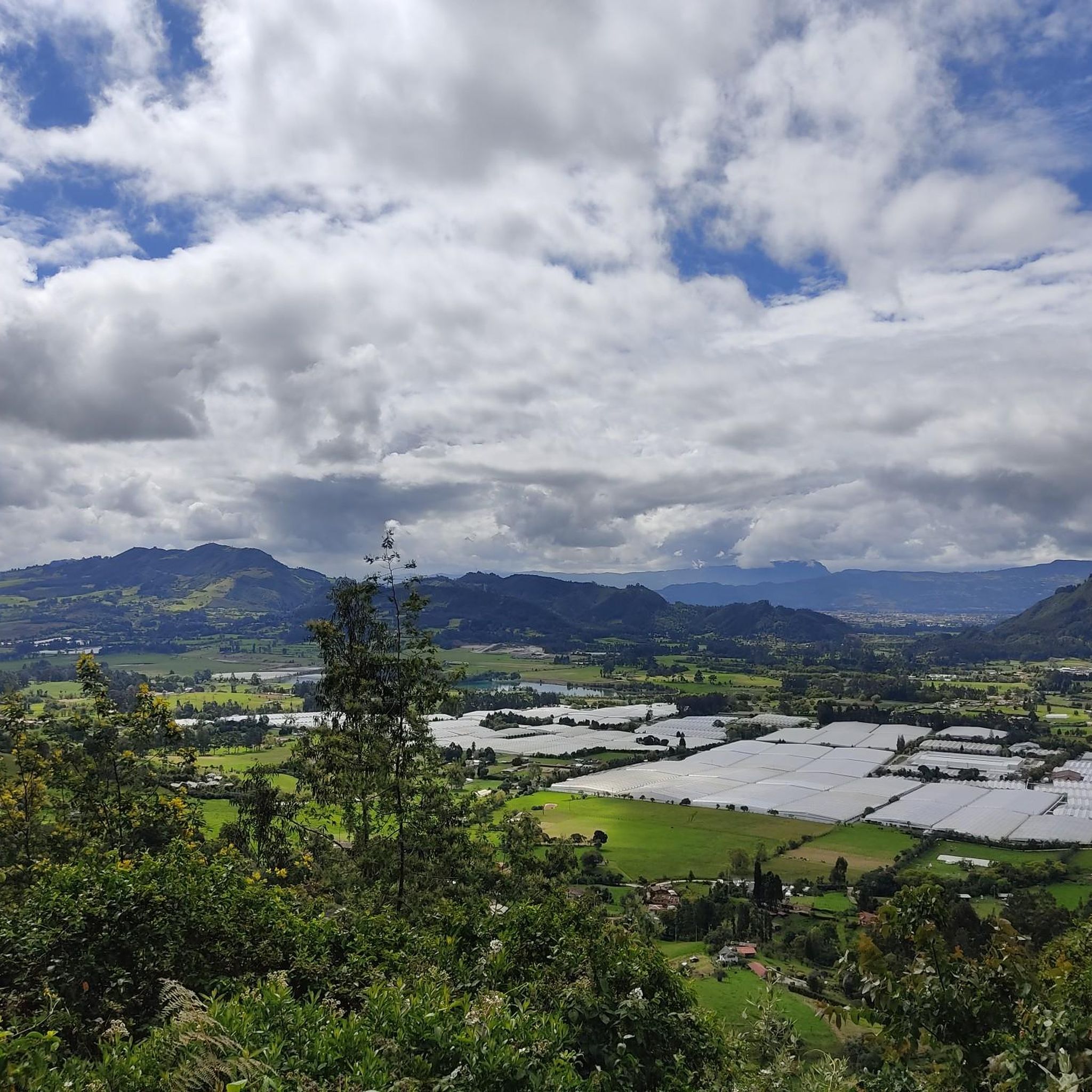
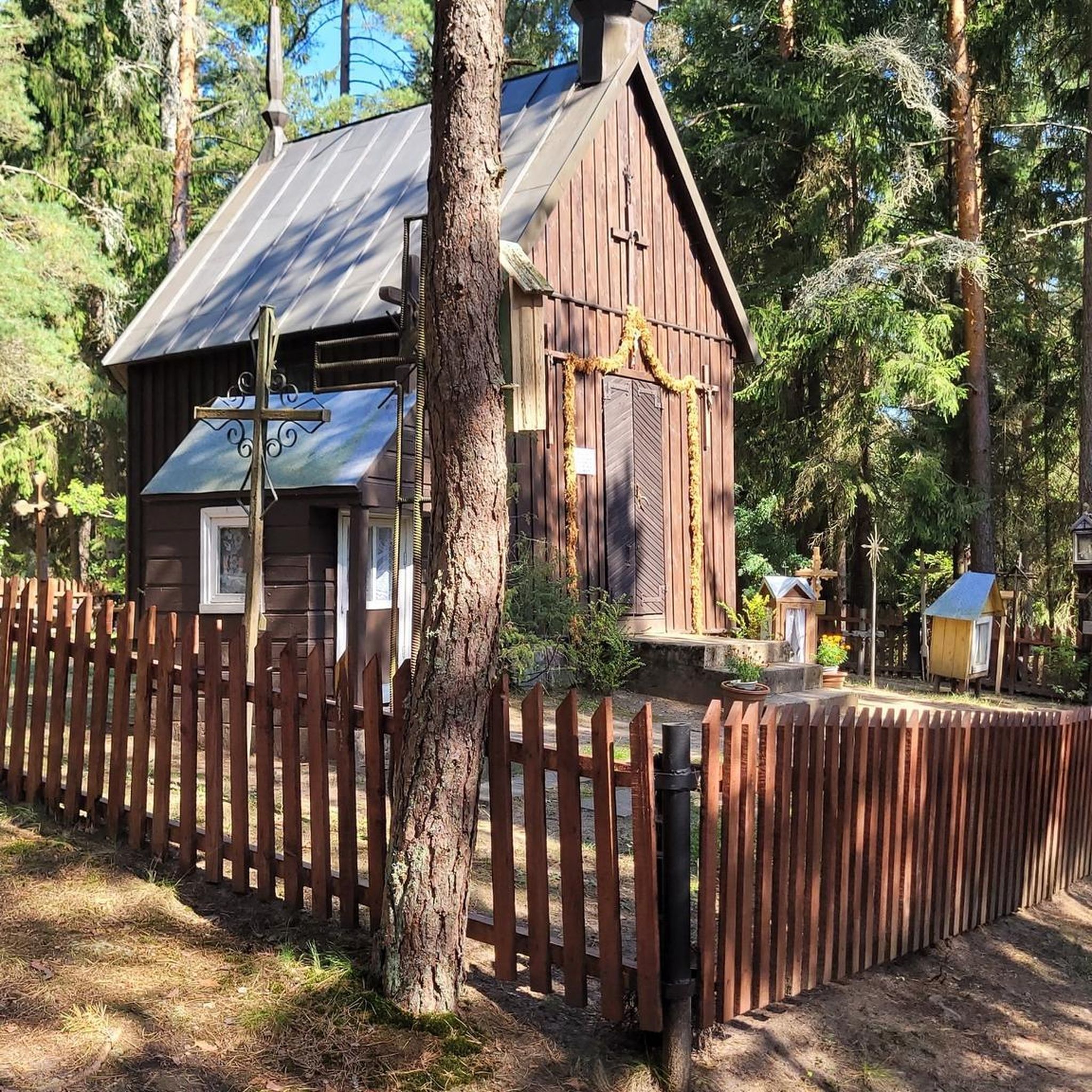
The viewpoint at the Iglesia de Valvanera (also known as Capilla de la Valvanera), located on the Cerro de la Cruz in Chía. The chapel is situated on a western ridge that separates the valleys of Chía and Tenjo. From here, you have a panoramic view of the Bogotá savanna and parts of the Colombian capital.
0
0

eco shop and traditional food
0
0

There are plenty of dining options on the square.
0
0

Old train station where there is a big train station especially on weekends when the tourist pays his respects.
0
0
In addition to the salt cathedral, a detour through the historic old town with its hustle and bustle around the large square and its side streets is also worthwhile.
1
0
Frequently Asked Questions
How many hiking trails are there in Subachoque?
Subachoque offers a selection of hiking routes, with over 5 trails available for exploration. These range from easy walks to more moderate paths, catering to various fitness levels.
Are there easy hiking options in Subachoque, and how long do they typically take?
Yes, Subachoque has easy hiking options. For example, the La Cumbre loop from Chuntame is an easy 3.6-mile (5.7 km) trail that typically takes around 1 hour 49 minutes to complete. Another easy option is the Valvanera Church loop from Chía, which is about 3.6 miles (3.6 km) and takes approximately 1 hour 6 minutes.
What kind of views can I expect on Subachoque's hiking trails?
Many trails in Subachoque offer elevated perspectives and views over the rolling hills and agricultural landscapes characteristic of the region. Routes like the La Cumbre loop from Chuntame are specifically noted for providing scenic viewpoints.
Are there any circular hiking routes in Subachoque?
Yes, Subachoque features several circular routes, which are great for exploring without retracing your steps. Examples include the La Cumbre loop from Chuntame, the House loop from Cajicá, and the Hiking loop from San Francisco.
What is the best time of year to go hiking in Subachoque?
Subachoque's climate is generally mild year-round due to its elevation. While there isn't a harsh winter, the region experiences rainy seasons. The drier months, typically December to March and July to August, often offer the most pleasant conditions for hiking, with less chance of muddy trails.
What should I wear for hiking in Subachoque?
Given the region's moderate elevation and potential for varied weather, it's advisable to wear layers. Comfortable hiking shoes with good grip are essential, as trails can involve moderate elevation changes. Bringing a light rain jacket is also recommended, especially during wetter periods.
Are there family-friendly hiking trails in Subachoque?
Yes, Subachoque offers trails suitable for families. The easy routes, such as the Valvanera Church loop from Chía, are generally good options for families looking for shorter distances and less challenging terrain.
Can I bring my dog on the hiking trails in Subachoque?
Many trails in natural and rural areas like Subachoque are generally dog-friendly, but it's always best to keep your dog on a leash and be mindful of local wildlife and agricultural areas. Check specific trail regulations if available, and ensure your dog is well-behaved around other hikers and animals.
What do other hikers enjoy most about hiking in Subachoque?
The komoot community highly rates the hiking experience in Subachoque, with an average score of 4.8 stars. Hikers often praise the varied terrain, which includes rolling hills and open country, and the routes that connect natural areas with local points of interest.
Are there any cafes or places to eat near the hiking trails in Subachoque?
Yes, the region has some options for refreshments. For instance, the 3 Puertos Gravel Bike Bistro and the Alto del Vino Rest Stop are known spots where you can find food and drinks, often popular with outdoor enthusiasts.
What are some interesting places to see or landmarks near Subachoque's hiking routes?
Beyond the trails, Subachoque and its surroundings offer points of interest. You might encounter features like the Puente Piedra–Subachoque Road, or natural elevations such as Alto de Canicas and Alto del Vino, which are popular for their views and challenges.
Is public transport available to reach hiking trails in Subachoque?
While specific bus routes directly to trailheads might be limited, Subachoque is accessible by public transport from larger nearby towns. It's recommended to research local bus services to Subachoque and then consider a short taxi ride or walk to your chosen starting point.
Are there accessible hiking trails for wheelchairs in Subachoque?
The hiking trails in Subachoque are characterized by rolling hills and varied terrain, often including moderate elevation changes. Therefore, most routes are not typically suitable for wheelchairs. It's best to assume trails are not wheelchair-accessible unless specifically indicated otherwise.
Most popular attractions in Subachoque

Get inspired with the komoot mobile app


Explore more
Browse the best Hikes in other regions.
