The best cycling routes in Gachancipá
4.8
(12)
551
riders
17
rides
Touring cycling in Gachancipá, situated on the Altiplano Cundiboyacense, offers diverse terrain for cyclists. The region features a mix of flat sections, undulating hills, and demanding mountain climbs, providing varied experiences. Key natural features include the Embalse de Tominé and the culturally significant Laguna de Guatavita, which are often integrated into routes. Elevated areas provide panoramic views of the expansive landscape.
Best touring cycling routes in Gachancipá
- The most popular touring cycling route is Tominé Reservoir – Sesquilé loop from…
Last updated: July 11, 2026
42
riders
22.7km
01:23
210m
210m
Moderate bike ride. Good fitness required. Mostly paved surfaces. Suitable for all skill levels.
32
riders
64.7km
04:29
1,210m
1,210m
Hard bike ride. Very good fitness required. Mostly paved surfaces. Suitable for all skill levels.

Sign up for free
12
riders
49.7km
05:00
1,330m
1,330m
Hard bike ride. Very good fitness required. Mostly paved surfaces. Suitable for all skill levels.
5.0
(1)
9
riders
32.8km
02:10
200m
200m
Moderate bike ride. Good fitness required. Mostly paved surfaces. Suitable for all skill levels.
5.0
(1)
10
riders
19.3km
01:38
610m
610m
Hard bike ride. Very good fitness required. Mostly paved surfaces. Suitable for all skill levels.
Get access to more routes and recommendations from other explorers.
Sign up for free
Already have an account?
Our route recommendations are based on thousands of hikes, rides, and runs completed by other people on komoot.
Start today with a free account
Your next adventure awaits.
Login or Signup
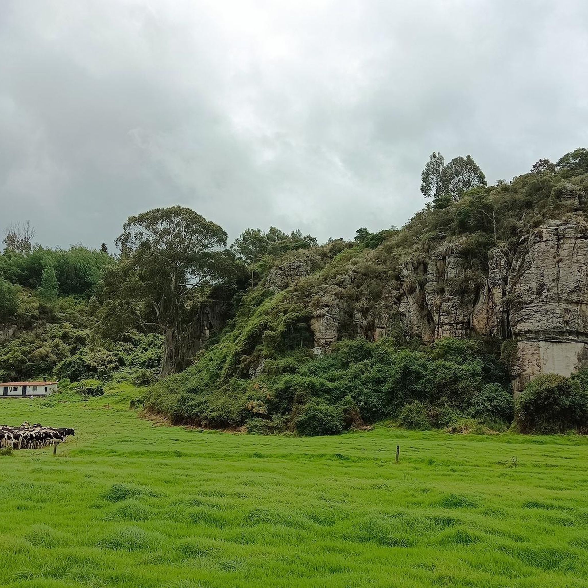

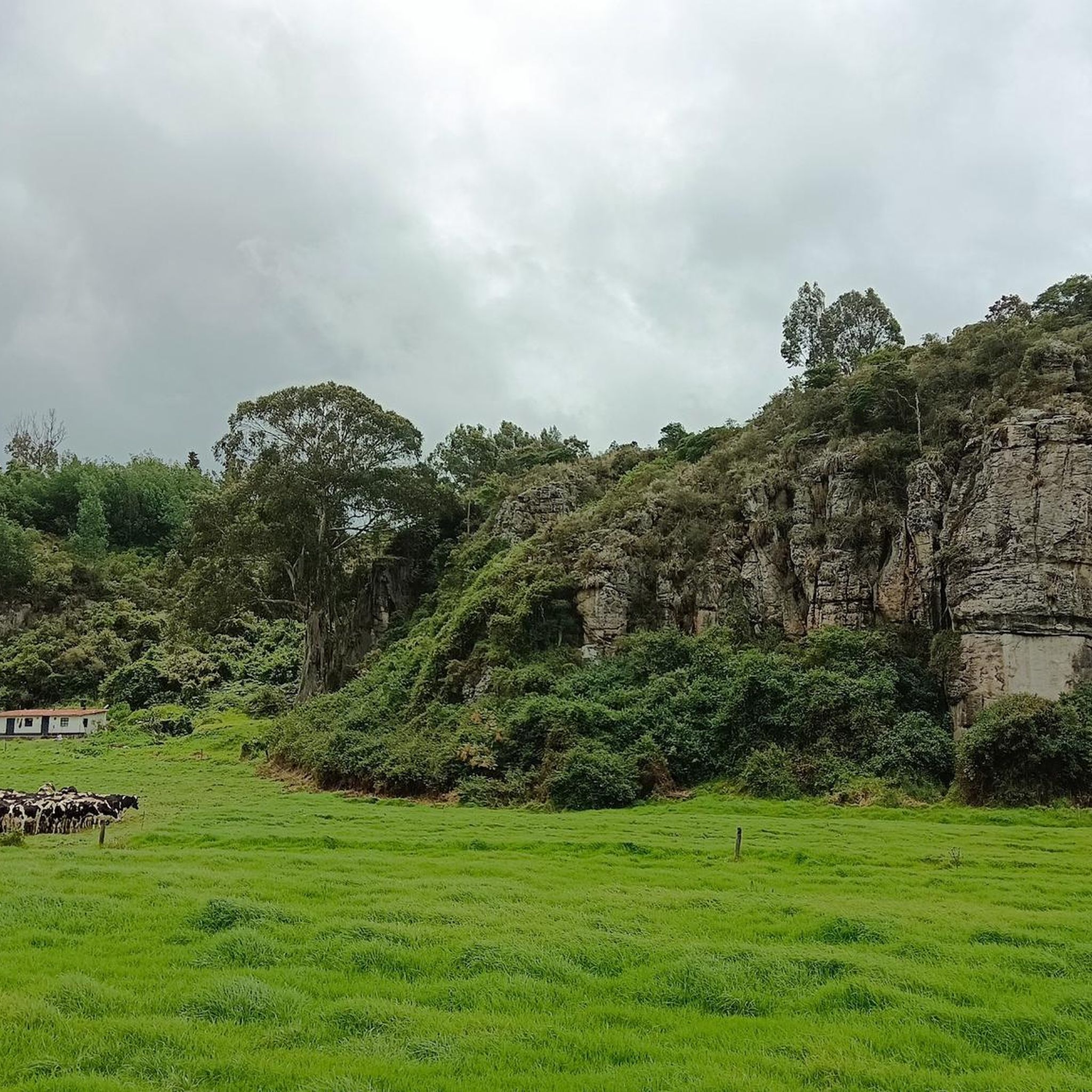
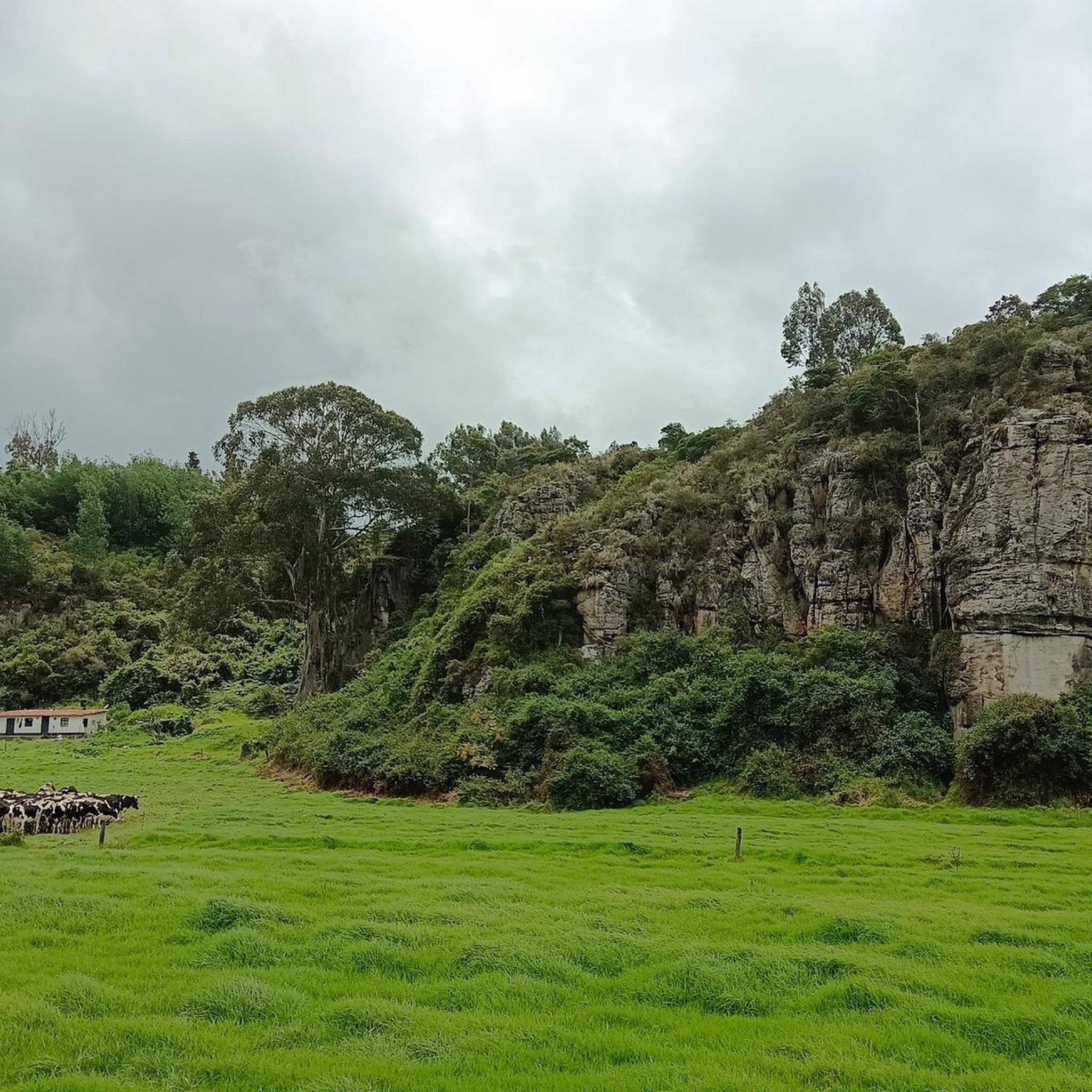

Tips from the Community

Excellent place to refuel. Lots of options and good prices, still.
0
0
Good objective, I suggest via Patios round trip to train various types (hill, bottom, hitts if you want in Arepas).
0
0
Port with a manageable slope, it becomes hard at the end due to the altitude (3,500 meters) and the wind in the last km. Very cold up, and on the way down, I suggest a good jacket and FULL FINGER gloves.
0
0

Good view of the reservoir and the municipality of sopo
0
0
going up from the "Y" (Guasca) there are 11km, a road in good condition, generally cold, foggy and rainy. From Gachetá going up there are 35km of ascent.
0
0

Bring a windbreaker vest or jacket, because of the high altitude it can get really cold
2
0
Frequently Asked Questions
How many touring cycling routes are available in Gachancipá?
Gachancipá offers a good selection of touring cycling routes, with over 15 routes available for exploration. These routes cater to various skill levels, from moderate to challenging.
What kind of terrain can I expect on touring cycling routes in Gachancipá?
The region around Gachancipá, situated on the Altiplano Cundiboyacense, features diverse topography. You can expect a mix of flat sections, undulating hills, and more demanding mountain climbs. Some routes, like the Gachancipá - Cogua example from regional research, combine paved and unpaved sections, offering varied experiences.
Are there routes suitable for beginners or families in Gachancipá?
Yes, Gachancipá offers routes suitable for various skill levels. For a moderate and scenic option, consider the Tominé Reservoir – Sesquilé loop from Marina de Guatavita. This 14.1-mile (22.7 km) route features well-maintained asphalt around the reservoir, making it a pleasant choice for those looking for a less strenuous ride.
What are some challenging touring cycling routes in Gachancipá?
For experienced cyclists seeking a challenge, Gachancipá has several difficult routes with significant elevation gains. The Guasca – Guasca Main Square loop from Guatavita is a difficult 31.5-mile (50.6 km) path offering extensive cycling opportunities and over 1,000 meters of elevation gain. Another demanding option is the Alto de los Gavilanes – Alto Peñablanca loop from Parada, which covers 47.8 miles (76.9 km) with over 1,300 meters of ascent.
Can I find circular touring cycling routes in the Gachancipá region?
Yes, many of the touring cycling routes in Gachancipá are designed as loops, allowing you to start and finish in the same location. Examples include the Tominé Reservoir – Sesquilé loop from Marina de Guatavita and the Hydration Point – Changua loop from Estación de Tocancipá.
What natural features or landmarks can I see along the touring cycling routes?
Gachancipá's routes often feature stunning natural beauty and cultural landmarks. You can cycle around the picturesque Tominé Reservoir and explore the area near Lake Guatavita, a sacred Muisca site. Many elevated areas also provide opportunities for panoramic views of the expansive landscape.
Is Gachancipá suitable for cycling with dogs?
While the guide does not specifically mention dog-friendly cycling routes, the region's rural roads and ecological trails offer opportunities for outdoor activities. However, it's always recommended to check local regulations and ensure your dog is well-behaved and on a leash, especially in populated areas or near wildlife. Consider routes with less traffic and open spaces.
What is the best time of year to go touring cycling in Gachancipá?
Gachancipá, being on the Altiplano Cundiboyacense, generally experiences a mild climate. The region is suitable for cycling year-round, but it's always advisable to check the local weather forecast before heading out, as conditions can vary. The dry seasons typically offer more consistent weather for long rides.
Are there options for parking near the touring cycling routes?
While specific parking information for each route is not detailed, towns like Sesquilé and Guatavita, often starting points for routes around the Tominé Reservoir, typically offer parking facilities. For rural roads, look for designated parking areas or inquire locally. It's always best to plan your starting point and check for parking availability beforehand.
What do other cyclists say about touring cycling in Gachancipá?
The touring cycling routes in Gachancipá are highly rated by the komoot community, with an average score of 4.8 stars from over 10 reviews. Cyclists often praise the diverse terrain, the scenic beauty around the Embalse de Tominé, and the opportunities for both moderate and challenging rides.
Are there places to eat or stay overnight for cyclists in Gachancipá?
Yes, towns like Sesquilé and Guatavita, which are popular stops along many cycling routes, offer various options for meals. You can find restaurants and cafes to refuel. For overnight stays, these towns also provide accommodation options, allowing cyclists to extend their exploration of the region.
Are there any specific cultural or historical sites I can visit while cycling?
Absolutely! The region is rich in Muisca heritage. Beyond the natural beauty, you can visit the charming town of Sesquilé, which serves as a gateway to Lake Guatavita, a site of deep cultural importance linked to the El Dorado legend. The regional research also mentions the Capilla de Santa Bárbara and Casa Museo Campesino in Gachancipá itself, offering insights into local history and rural life.
Most popular attractions in Gachancipá

Get inspired with the komoot mobile app


Explore more
Browse the best Cycling routes in other regions.
