The best road cycling routes in Gachancipá
4.7
(50)
1,581
riders
38
rides
Road cycling in Gachancipá, located in the Cundinamarca department of Colombia, offers diverse landscapes for cyclists. The region features varied terrain, from flatter sections to challenging climbs with significant elevation gains. Key physical features include the Embalse de Tominé reservoir, the Neusa River, and a mix of paved and unpaved veredal roads. Cyclists encounter areas with arboreal and shrub vegetation, including eucalyptus, willow, and pine trees.
Best road cycling routes in Gachancipá
- The most popular road cycling route is Alto…
Last updated: July 15, 2026
5.0
(2)
189
riders
79.9km
04:22
1,500m
1,500m
Hard road ride. Very good fitness required. Mostly well-paved surfaces and easy to ride.
5.0
(1)
53
riders
34.1km
01:30
120m
120m
Moderate road ride. Great for any fitness level. Some segments of this route may be unpaved and difficult to ride.

Sign up for free
5.0
(4)
54
riders
58.3km
02:27
260m
260m
Moderate road ride. Good fitness required. Mostly well-paved surfaces and easy to ride.
5.0
(1)
27
riders
Moderate road ride. Good fitness required. Some segments of this route may be unpaved and difficult to ride.
10
riders
Easy road ride. Great for any fitness level. Mostly well-paved surfaces and easy to ride.
Get access to more routes and recommendations from other explorers.
Sign up for free
Already have an account?
Our route recommendations are based on thousands of hikes, rides, and runs completed by other people on komoot.
Start today with a free account
Your next adventure awaits.
Login or Signup

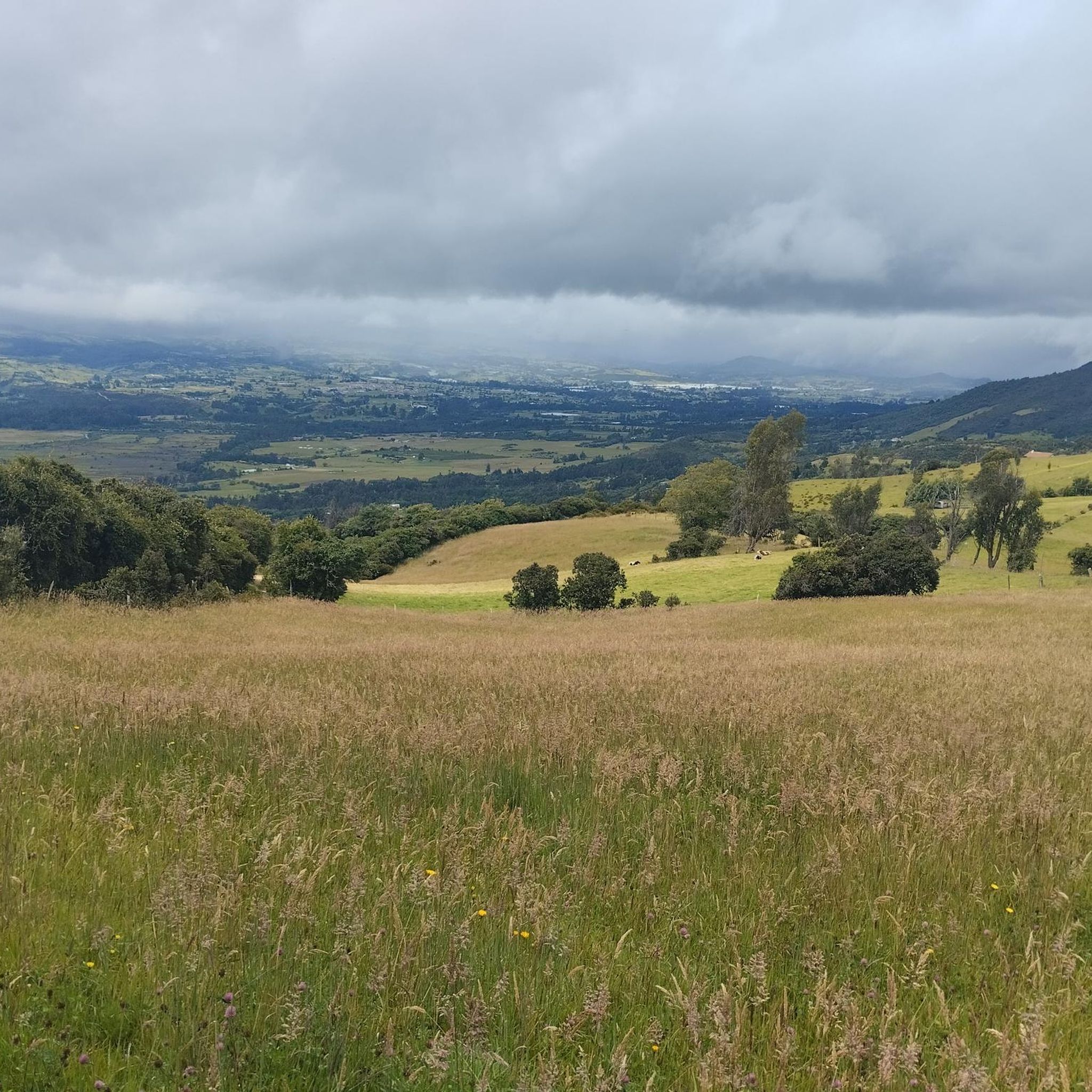
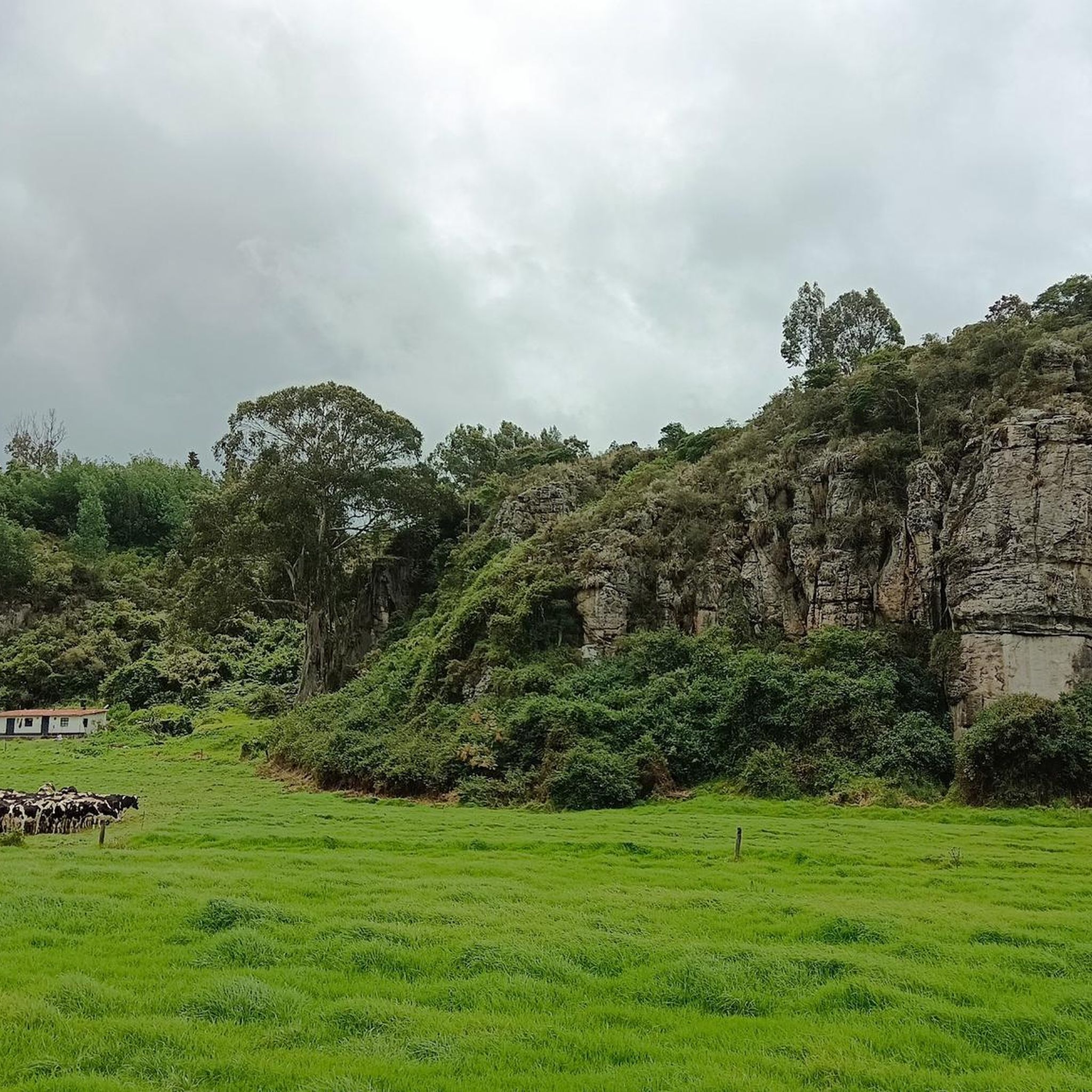

Tips from the Community


Getting here is a joy, because even though you know there are still many kilometers to travel, the descent begins here after more than 80 k towards the direction we are going from Bogota (depending on where you are leaving from, of course).
0
0

hard, but beautiful
0
0

Excellent place, a bike ride through the Zipaquira salt cathedral... if you go from Bogotá you should leave with time... from Usme cycling between 25 to 28 km/h with 2 stops, it took us 3 hours and 20 minutes...
0
0

Old train station where there is a big train station especially on weekends when the tourist pays his respects.
0
0

Frequently Asked Questions
How many road cycling routes are available in Gachancipá?
Gachancipá offers a wide selection of road cycling routes, with over 35 routes available. These routes cater to various skill levels, including easy, moderate, and difficult options.
What is the best time of year for road cycling in Gachancipá?
Gachancipá's climate generally allows for road cycling year-round. However, for the most pleasant conditions, consider the drier seasons. Always check the local weather forecast before heading out, as conditions can vary.
Are there routes suitable for beginners or less experienced cyclists?
Yes, Gachancipá has several routes ideal for beginners or those seeking a more relaxed ride. There are 14 easy routes available. An example is the Tocancipá Coliseum – Sopó Main Square and Church loop from Estación de Tocancipá, which covers 33 kilometers with moderate elevation changes.
Are there challenging road cycling routes for experienced riders?
Absolutely. Gachancipá is known for its challenging terrain, featuring significant elevation gains. For experienced cyclists, routes like the Alto del Sisga – Machetá Town Sign loop from Gachancipá offer over 1,500 meters of elevation gain over nearly 80 kilometers. Another demanding option is the Alto de las Margaritas – View of Neusa Reservoir loop from Estación Gachancipá, which includes substantial climbs and views of the Neusa Reservoir.
Can I find circular road cycling routes in Gachancipá?
Many of the road cycling routes in Gachancipá are designed as loops, allowing you to start and finish in the same location. This includes popular options like the Alto del Sisga – Machetá Town Sign loop and the Alto de las Margaritas – View of Neusa Reservoir loop, providing varied terrain and scenic views.
What natural features or landmarks can I see along the road cycling routes?
Road cycling routes in Gachancipá often pass by significant natural features. You can expect views of the iconic Tominé Reservoir and the imposing Neusa River. The region also features diverse vegetation, including eucalyptus, willow, and pine trees, particularly around sites like the Grotto of Our Lady of Lourdes.
Are there any cultural or historical sites accessible by road bike?
Yes, Gachancipá and its surroundings offer several cultural and historical points of interest. The 'Gacha Route' passes by the Gacha Monument, the Doctrinera Cross, and the Casa de la Estación Férrea. The Lake Guatavita, a site of Muisca legend, is also accessible, as are the famous Zipaquirá Salt Cathedral and Nemocón Salt Mine, which can be incorporated into longer cycling excursions.
Is parking available for road cyclists in Gachancipá?
While specific designated parking for cyclists isn't always highlighted, Gachancipá's main park often serves as a starting point for routes, and parking can typically be found within the municipality. It's advisable to check local parking options upon arrival, especially if starting from a specific town or village.
Can I reach the cycling routes using public transport?
Gachancipá is located about 30 kilometers from Bogotá, and public transport options, such as inter-municipal buses, connect it to the capital and surrounding towns. Cyclists often use these services to reach starting points for their rides, though transporting bikes may require specific arrangements or additional fees.
Are there any permits required for road cycling in Gachancipá?
Generally, no specific permits are required for road cycling on public roads in Gachancipá. However, if your route includes private land or protected natural areas, it's always best to verify if any access restrictions or permits apply. For general ecological information about the municipality, you can visit gachancipa-cundinamarca.gov.co.
Are there family-friendly road cycling routes in Gachancipá?
Gachancipá offers a variety of routes, including easier options that could be suitable for families, especially those with some cycling experience. These routes tend to have less elevation gain and may feature more paved sections. Always review the route details, including distance and elevation, to ensure it matches your family's ability.
What do other road cyclists enjoy the most about road cycling in Gachancipá?
The road cycling experience in Gachancipá is highly rated by the komoot community, with an average score of 4.6 stars from over 40 reviews. Cyclists frequently praise the diverse landscapes, the mix of challenging climbs and scenic sections, and the opportunity to explore both natural beauty and cultural landmarks like the Embalse de Tominé.
Most popular attractions in Gachancipá

Get inspired with the komoot mobile app


Explore more
Browse the best Road cycling routes in other regions.
