The best running trails in Cogua
4.3
(16)
87
runners
5
runs
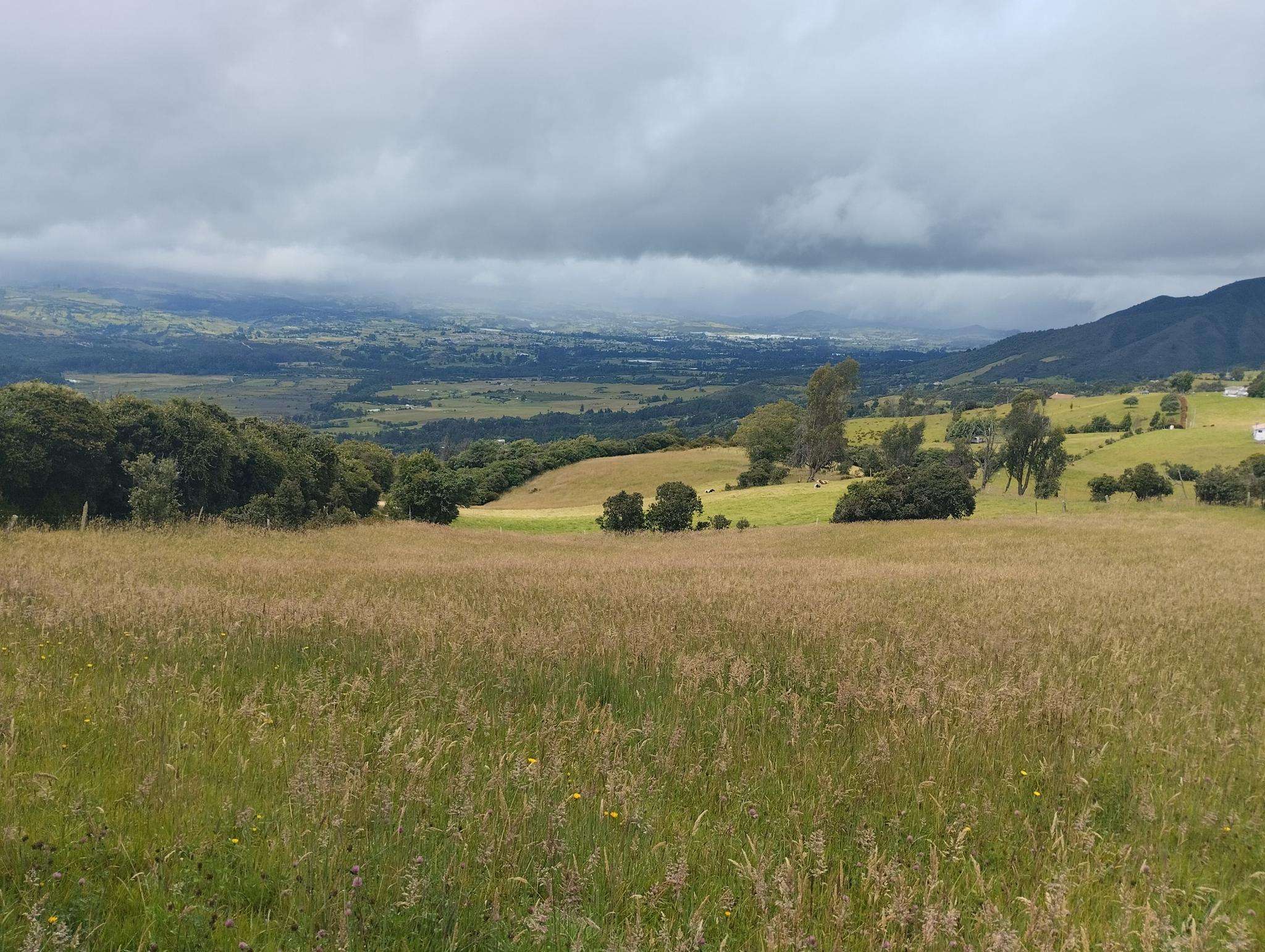
Jogging routes in Cogua offer diverse terrain within a tranquil, mountainous environment in Cundinamarca, Colombia. The region is characterized by verdant fields and varied elevation, situated on the northern part of the Bogotá savanna. Cogua's urban center lies at an altitude of 2,600 meters (8,500 ft), providing opportunities for high-altitude running. The landscape includes the Guerrero páramo, a high-altitude ecosystem, and features like the Neusa Reservoir.
Best jogging routes in Cogua
- The most popular jogging route is Running loop from…
Last updated: July 15, 2026
3.9
(13)
32
runners
9.36km
01:05
220m
220m
Moderate run. Good fitness required. Mostly paved surfaces. Suitable for all skill levels.
29
runners
14.7km
01:43
490m
490m
Hard run. Very good fitness required. Mostly paved surfaces. Suitable for all skill levels.

Sign up for free
4.0
(2)
14
runners
8.63km
00:59
210m
210m
Moderate run. Good fitness required. Mostly paved surfaces. Suitable for all skill levels.
5.0
(1)
7
runners
10.4km
01:04
20m
20m
Moderate run. Good fitness required. Mostly paved surfaces. Suitable for all skill levels.
5
runners
7.13km
00:46
110m
110m
Moderate run. Good fitness required. Mostly paved surfaces. Suitable for all skill levels.
Our route recommendations are based on thousands of hikes, rides, and runs completed by other people on komoot.
Start today with a free account
Your next adventure awaits.
Login or Signup
Popular around Cogua

Frequently Asked Questions
How many running routes are available in Cogua?
Komoot features 5 diverse running routes in Cogua, offering a range of experiences for different fitness levels. These trails are highly rated by the komoot community, with an average score of 4.3 stars.
What kind of terrain can I expect on running trails in Cogua?
Cogua's running trails are characterized by stunning natural landscapes, including mountainous terrain, verdant fields, and varied elevation. You'll find paths ranging from mostly paved surfaces to more challenging routes that require sure-footedness, often set against the picturesque backdrop of the Guerrero páramo.
What is the best time of year to go running in Cogua?
Cogua offers a tranquil environment year-round, ideal for outdoor activities. The region's consistent climate makes it suitable for running in most seasons, allowing you to enjoy the fresh air and mountain silence. However, checking local weather forecasts before your run is always recommended.
Are there options for high-altitude running training in Cogua?
Yes, Cogua is an excellent location for high-altitude training. Its urban center is situated at an altitude of 2,600 meters (8,500 ft), providing a natural advantage for runners looking to enhance their performance in such conditions.
Are there running routes in Cogua suitable for beginners?
While many routes in Cogua are rated moderate to difficult, the region does offer trails with varying levels of challenge. For example, the Jaime Duque Route loop from Tocancipá is a moderate 6.4-mile (10.4 km) trail with minimal elevation gain, making it a good option for those looking for a less strenuous run.
What are some challenging running routes for experienced runners in Cogua?
Experienced runners seeking a challenge will find several difficult routes. The Fuente loop from Estación Zipaquirá, for instance, is a demanding 9.1-mile (14.7 km) path with over 480 meters of elevation gain, perfect for pushing your limits.
What is the typical length of running routes in Cogua?
Running routes in Cogua vary in length. You can find trails like the Running loop from Zipaquirá, which is about 4.4 miles (7.1 km), up to longer routes such as the Fuente loop from Estación Zipaquirá, spanning over 9 miles (14.7 km).
Are there family-friendly running trails in Cogua?
Cogua's tranquil environment and diverse trails can accommodate families. While specific 'family-friendly' designations aren't always explicit, routes with lower elevation gain and moderate distances, like the Jaime Duque Route loop from Tocancipá, might be suitable for active families.
Can I bring my dog on the running trails in Cogua?
Many outdoor areas in Colombia, especially natural parks and rural trails, are generally dog-friendly, but it's always best to check specific regulations for each trail or protected area. The tranquil, natural setting of Cogua is often enjoyed by pet owners, but ensure your dog is on a leash and you clean up after them.
What can I see along the running routes in Cogua?
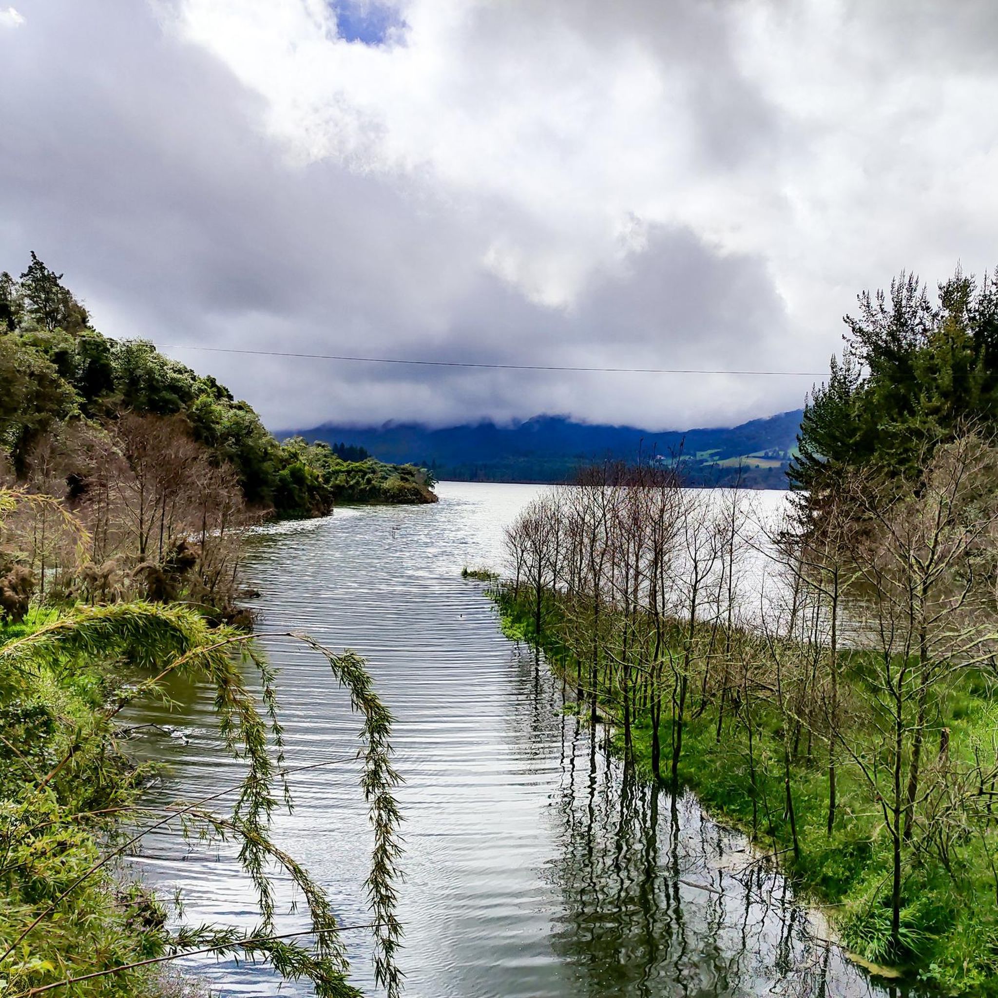
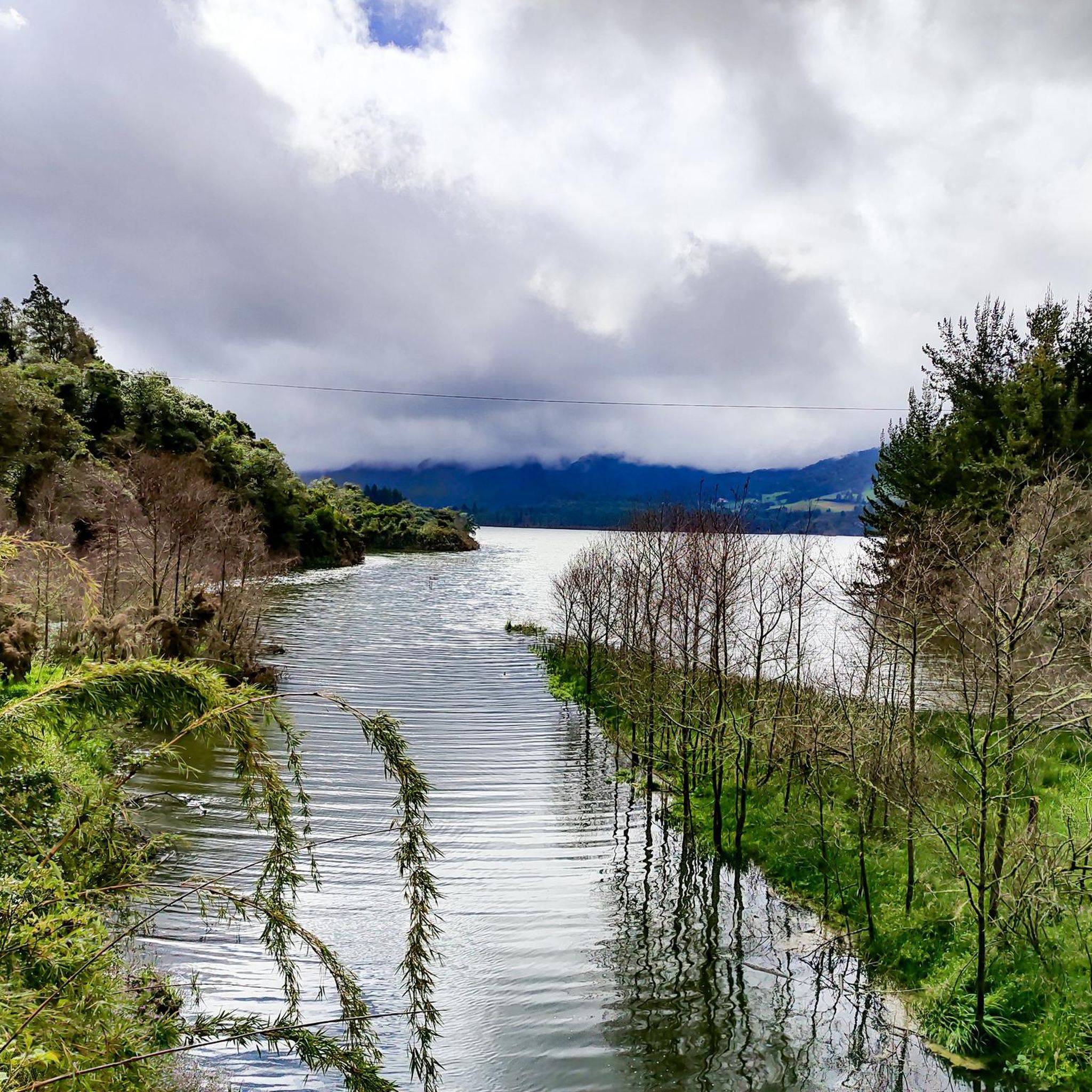
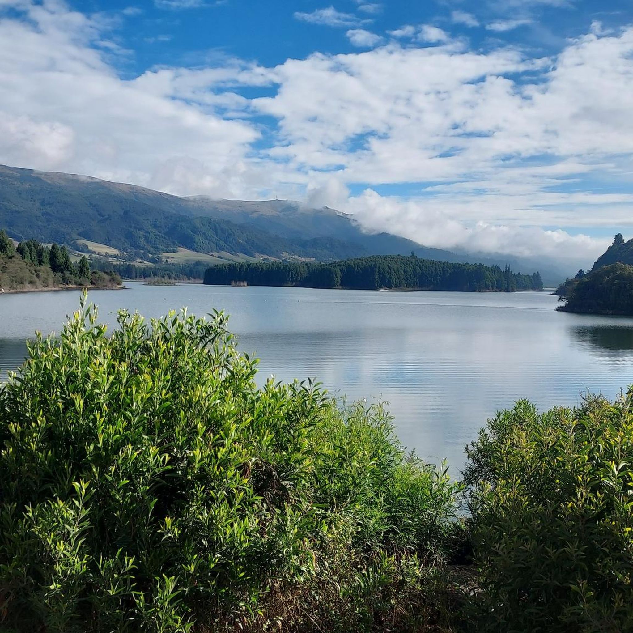
Many routes offer scenic views and access to natural landmarks. You might encounter highlights like the Neusa Reservoir, a major draw for outdoor enthusiasts, or enjoy panoramic vistas from spots like the Neusa Viewpoint / Alto del Borracho. The Nemocón Salt Mine loop from Estación Nemocon also offers unique sights around the mine.
Are there any circular running routes in Cogua?
Yes, several running routes in Cogua are designed as loops, offering a convenient way to start and finish at the same point. Examples include the popular Running loop from Estación Nemocon and the Nemocón Salt Mine loop from Estación Nemocon.
What do other runners enjoy most about jogging in Cogua?
The running routes in Cogua are highly rated by the komoot community, with an average score of 4.3 stars from more than 10 reviews. Runners frequently praise the region's stunning natural landscapes, diverse terrain, and the tranquil environment that provides a refreshing escape from city life.
Is parking available near the running trails in Cogua?
While specific parking information for every trailhead isn't always detailed, many popular outdoor areas and starting points for routes in Cogua, especially those near towns or attractions like the Neusa Reservoir, typically offer designated parking facilities. It's advisable to check the route details or local information for specific parking options.
Most popular attractions in Cogua

Get inspired with the komoot mobile app


Explore more
Browse the best Running Trails & Routes in other regions.
