The best road cycling routes in Cogua
4.7
(121)
2,438
riders
42
rides
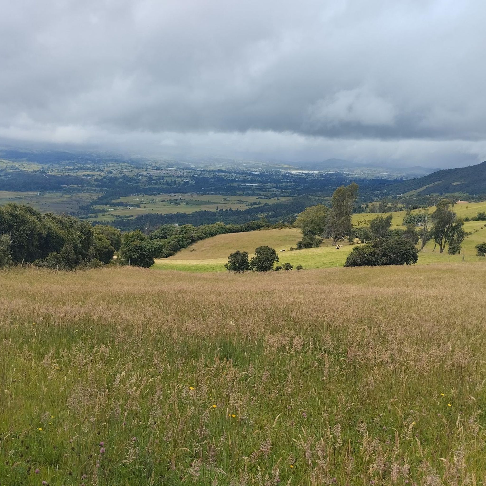
Road cycling routes in Cogua are characterized by varied terrain, including significant climbs and rolling hills, offering diverse challenges for cyclists. The region features a landscape of elevated areas and valleys, providing both demanding ascents and scenic descents. Road cyclists can expect routes that traverse through rural settings, often with notable elevation changes. The area's topography makes it suitable for those seeking a workout on two wheels.
Best road cycling routes in Cogua
- The most popular road cycling route is…
Last updated: July 15, 2026
4.7
(10)
395
riders
Moderate road ride. Good fitness required. Mostly well-paved surfaces and easy to ride.
5.0
(5)
86
riders
40.7km
02:20
930m
930m
Hard road ride. Very good fitness required. Mostly well-paved surfaces and easy to ride.

Sign up for free
5.0
(5)
85
riders
55.8km
03:03
1,140m
1,140m
Hard road ride. Very good fitness required. Mostly well-paved surfaces and easy to ride.
32
riders
23.1km
01:27
550m
550m
Moderate road ride. Good fitness required. Some segments of this route may be unpaved and difficult to ride.
29
riders
36.6km
01:54
440m
440m
Moderate road ride. Good fitness required. Some segments of this route may be unpaved and difficult to ride.
Get access to more routes and recommendations from other explorers.
Sign up for free
Already have an account?
Our route recommendations are based on thousands of hikes, rides, and runs completed by other people on komoot.
Start today with a free account
Your next adventure awaits.
Login or Signup
Popular around Cogua

Tips from the Community


Excellent place, a bike ride through the Zipaquira salt cathedral... if you go from Bogotá you should leave with time... from Usme cycling between 25 to 28 km/h with 2 stops, it took us 3 hours and 20 minutes...
0
0

Good outing, although it is very cold almost always. Go with a good coat
0
0

There are plenty of dining options on the square.
0
0

Old train station where there is a big train station especially on weekends when the tourist pays his respects.
0
0
In addition to the salt cathedral, a detour through the historic old town with its hustle and bustle around the large square and its side streets is also worthwhile.
1
0

Frequently Asked Questions
What is the general difficulty level of road cycling routes in Cogua?
Road cycling in Cogua offers a range of difficulties, from easy to difficult. The region is known for its varied terrain, including significant climbs and rolling hills. You'll find approximately 14 easy routes, 26 moderate routes, and 5 difficult routes, catering to various skill levels.
Are there any beginner-friendly road cycling routes in Cogua?
Yes, Cogua has several routes suitable for beginners. There are around 14 easy routes available. These routes typically feature less challenging climbs and more manageable distances, allowing new cyclists to enjoy the scenic rural settings without excessive strain.
What kind of challenges can advanced road cyclists expect in Cogua?
Advanced road cyclists will find plenty of challenges in Cogua, particularly on routes with substantial elevation gain and demanding ascents. For example, the Alto del Águila – Our Lady of Pacho loop from Zipaquirá ciudad is a difficult 25.5-mile (41.1 km) path with significant elevation, offering a rigorous workout through elevated landscapes. Another challenging option is the Alto del Águila – La Puerta Falsa loop from Cogua, which covers 34.2 miles (55.0 km) with over 1,100 meters of climbing.
Are there circular road cycling routes or loops in Cogua?
Yes, many road cycling routes in Cogua are designed as loops, allowing you to start and finish in the same location. A popular moderate loop is the Patiguapos Climb (San Jorge) – La Puerta Falsa loop from Zipaquirá ciudad, which is 34.1 miles (54.9 km) long and features a notable climb and scenic sections. Another option is the shorter La Puerta Falsa – Patiguapos Climb (San Jorge) loop from Zipaquirá ciudad, a moderate 21.4-mile (21.4 km) ride.
What are some scenic viewpoints or attractions along the road cycling routes in Cogua?
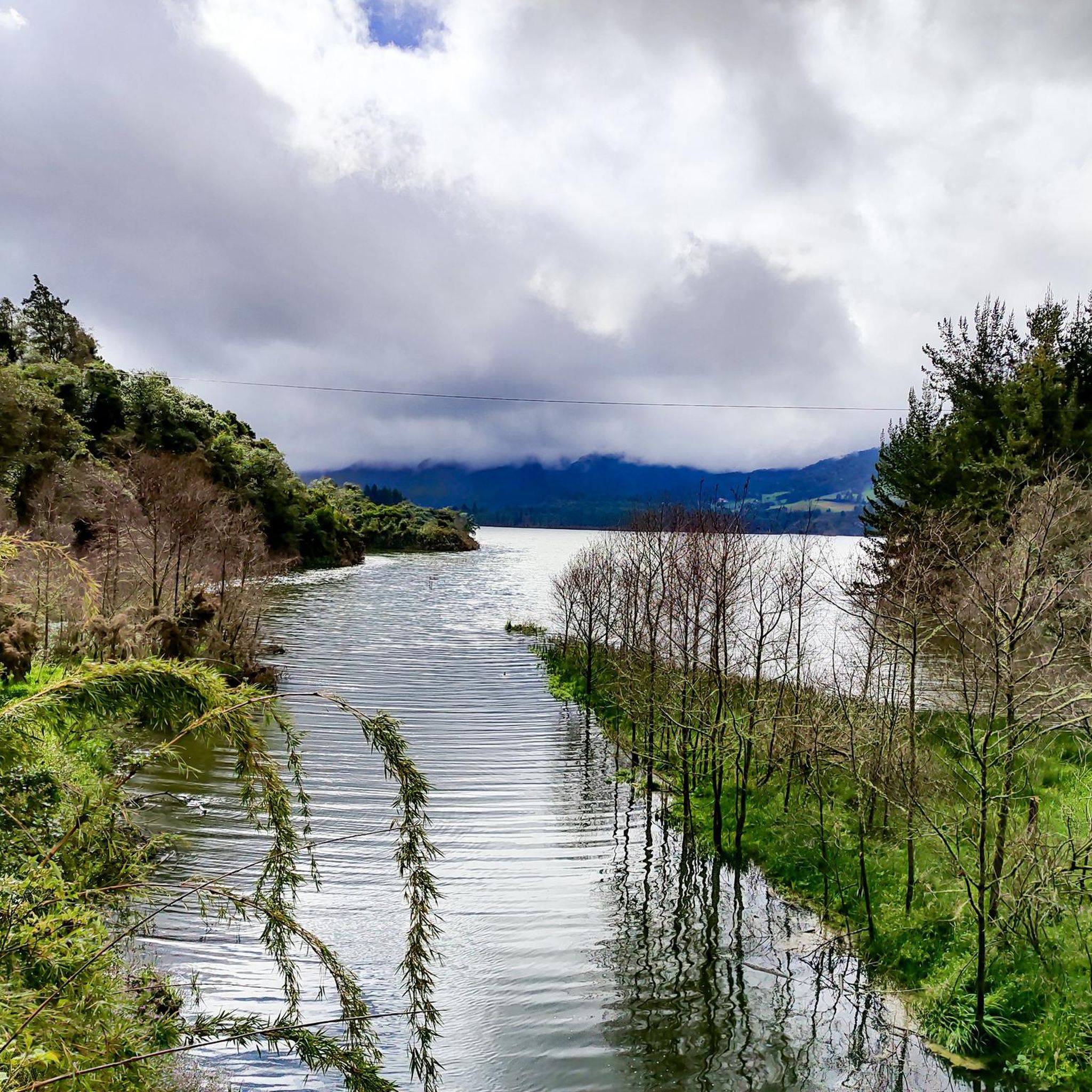
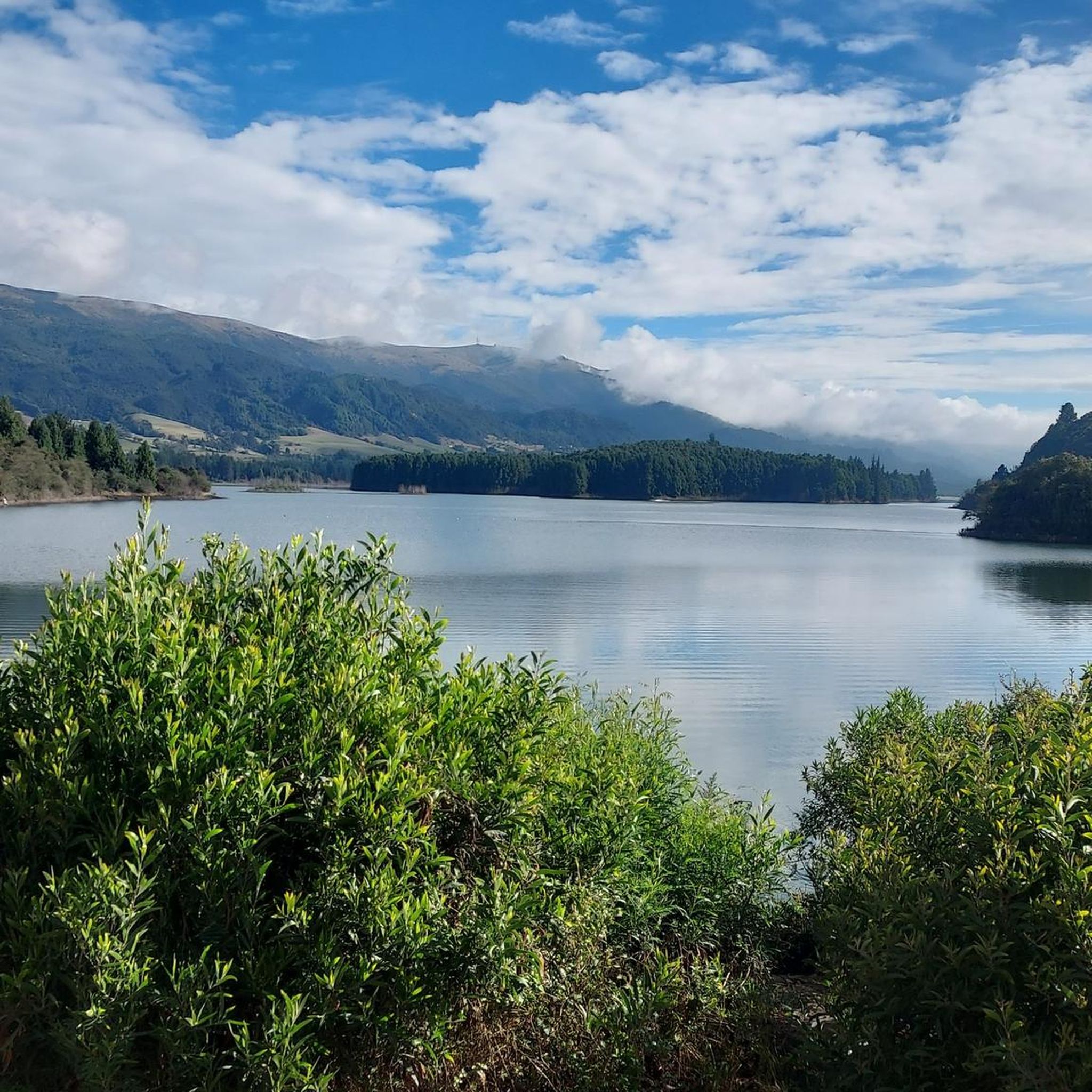
Cogua's road cycling routes offer access to several scenic spots and natural attractions. You can find notable climbs like Patiguapos Climb (San Jorge) and mountain passes such as Alto de las Margaritas and Alto del Águila – Páramo Guerrero. For breathtaking views, consider visiting the Neusa Viewpoint / Alto del Borracho, or cycling near the tranquil Neusa Reservoir.
What do other road cyclists enjoy most about road cycling in Cogua?
The road cycling experience in Cogua is highly rated by the komoot community, with an average score of 4.6 stars from over 100 reviews. Cyclists often praise the varied terrain, which includes both challenging climbs and scenic descents through rural settings. The network of routes offers options for all skill levels, making it a popular destination for those seeking a good workout on two wheels.
Are there any moderate-difficulty road cycling routes that offer a good balance of challenge and scenery?
Absolutely. Many of Cogua's 26 moderate routes provide an excellent balance. For instance, the Alto del Águila – Patiguapos Climb (San Jorge) loop from Zipaquirá ciudad is a moderate 23-mile (23 km) route that includes significant elevation gain while still being manageable for experienced recreational riders, offering rewarding views along the way.
What is the typical length and duration of road cycling routes in Cogua?
The routes in Cogua vary significantly in length and duration. You can find shorter rides, such as the moderate 21.4-mile (21.4 km) La Puerta Falsa – Patiguapos Climb (San Jorge) loop from Zipaquirá ciudad, which takes about 1 hour 17 minutes. Longer, more challenging routes like the difficult 34.2-mile (55.0 km) Alto del Águila – La Puerta Falsa loop from Cogua can take around 3 hours to complete, depending on your pace and fitness level.
Is parking readily available near the road cycling routes in Cogua?
While specific parking information for each route isn't always detailed, many routes in Cogua start from towns like Zipaquirá ciudad or Cogua itself. In these areas, you can typically find public parking options, though availability might vary, especially on weekends. It's advisable to check local parking regulations or look for designated parking areas near the starting points of your chosen route.
What kind of terrain should I expect when road cycling in Cogua?
Road cycling in Cogua is defined by its varied and often challenging terrain. You should expect a mix of significant climbs and rolling hills, traversing through rural settings. The region features elevated areas and valleys, providing both demanding ascents and scenic descents. This topography makes it an engaging area for cyclists looking for a dynamic ride.
Most popular attractions in Cogua

Get inspired with the komoot mobile app


Explore more
Browse the best Road cycling routes in other regions.
