
The best running trails in Cachipay
4.5
(8)
140
runners
13
runs
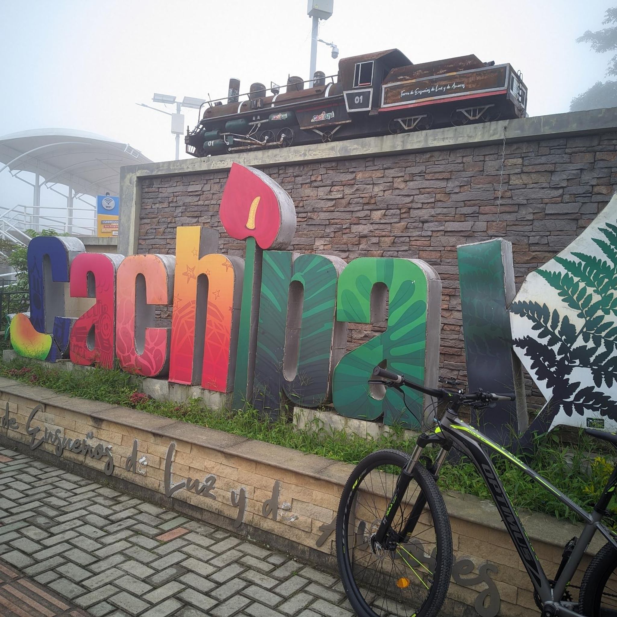
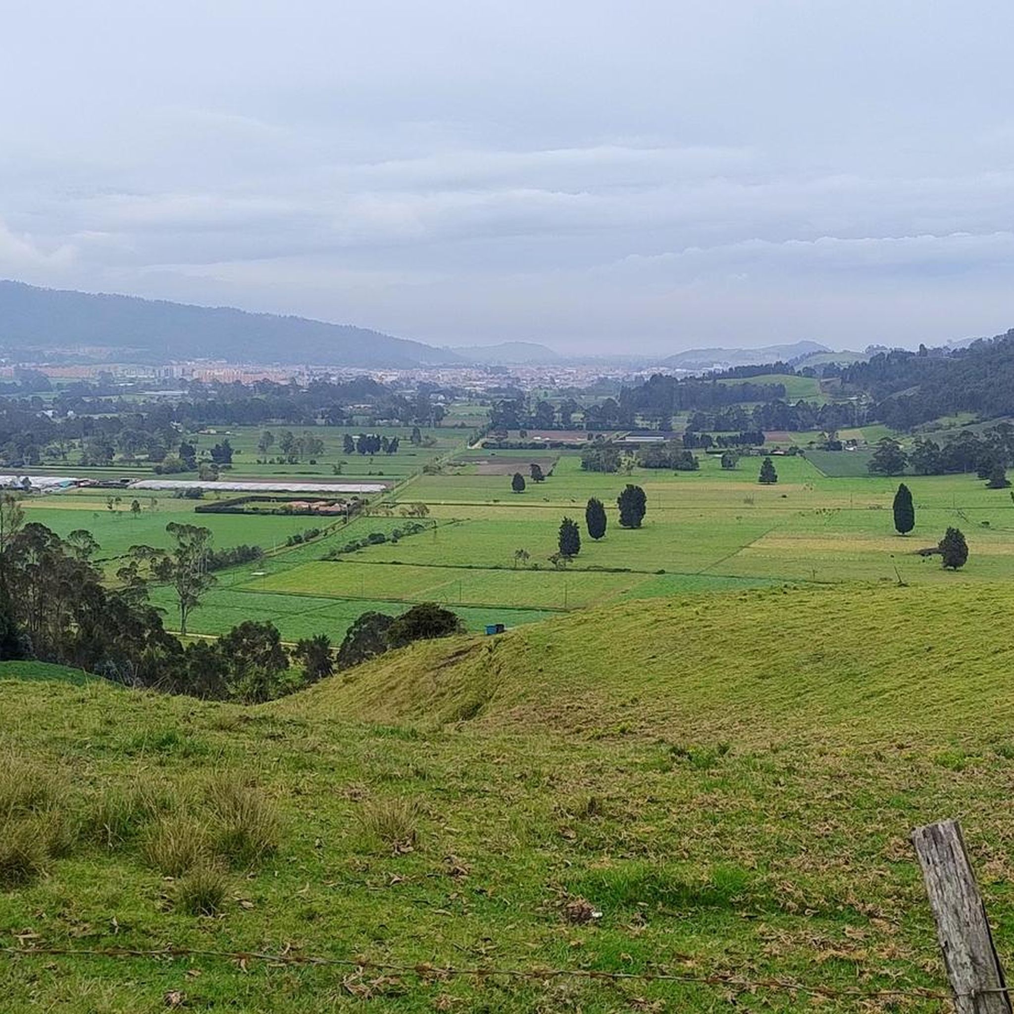
Jogging in Cachipay offers diverse natural landscapes and trails for outdoor activity. The region is characterized by mountainous surroundings, providing various paths that range in difficulty. Many routes pass through agricultural areas, offering a serene countryside experience amidst coffee plantations and fruit trees. Natural features like waterfalls and rivers can also be found along some running routes.
Best jogging routes in Cachipay
- The most popular jogging route is Cerro La Esperanza loop from Cachipay, a 10.3 miles (16.5 km)…
Last updated: July 15, 2026
12
runners
16.5km
02:15
660m
660m
Hard run. Very good fitness required. Mostly paved surfaces. Suitable for all skill levels.
10
runners
9.61km
01:16
300m
300m
Moderate run. Good fitness required. Mostly paved surfaces. Suitable for all skill levels.

Sign up for free
11
runners
30.1km
04:01
1,110m
1,120m
Hard run. Very good fitness required. Mostly paved surfaces. Suitable for all skill levels.
8
runners
11.8km
01:36
430m
430m
Hard run. Very good fitness required. Mostly paved surfaces. Suitable for all skill levels.
10
runners
51.3km
07:06
2,350m
2,350m
Hard run. Very good fitness required. Mostly paved surfaces. Suitable for all skill levels.
Get access to more routes and recommendations from other explorers.
Sign up for free
Already have an account?
Our route recommendations are based on thousands of hikes, rides, and runs completed by other people on komoot.
Start today with a free account
Your next adventure awaits.
Login or Signup
Popular around Cachipay

Frequently Asked Questions
How many running routes are available in Cachipay?
Cachipay offers a selection of over a dozen dedicated running routes. These trails vary in difficulty, ranging from moderate paths to challenging mountainous terrain, ensuring options for different fitness levels.
What kind of terrain can I expect on jogging trails in Cachipay?
Jogging in Cachipay primarily features mountainous terrain, providing challenging climbs and rewarding views. Many routes also wind through serene agricultural roads, passing by coffee plantations, fruit trees, and traditional houses, offering a peaceful countryside experience.
Are there any moderate running routes for beginners or those seeking a less strenuous run?
Yes, while many routes are difficult, there are moderate options available. For instance, the Alto loop from Zipacón is a moderate 9.6 km path that offers a mix of natural landscapes and serene countryside views, suitable for those looking for a less intense experience.
What natural features or landmarks can I discover along the running paths in Cachipay?
Runners can encounter several natural attractions. Some routes lead towards destinations like "La Cueva del Mohán" (Mohán's Cave), offering scenic and invigorating paths. The region also features beautiful waterfalls such as "Salto de las Monjas" (Nuns' Falls) and refreshing rivers like the Río Baamón, which can be incorporated into longer runs.
Are there any circular running routes in the Cachipay area?
Yes, many of the running routes in Cachipay are designed as loops, allowing you to start and finish in the same location. Examples include the challenging Cerro La Esperanza loop from Cachipay and the longer Lv loop from Cachipay.
What do other runners say about the jogging experience in Cachipay?
The running routes in Cachipay are highly regarded by the komoot community, holding an average rating of 4.5 stars from over 8 reviews. Runners often praise the diverse natural landscapes, the challenging mountainous terrain, and the tranquil atmosphere away from city bustle.
What is the best time of year to go jogging in Cachipay?
Cachipay offers a pleasant environment for outdoor activities year-round. Given its location, it provides a less polluted and less populated alternative to Bogotá. Some areas, like Peñanegra, are known for warmer weather, which might influence your preference for cooler mornings or evenings, especially during hotter periods.
Are there any particularly long-distance running routes for endurance training?
For those seeking longer distances, Cachipay has several options. The Lv loop from Cachipay covers 30.1 km, and the Alto de la Virgen – Alto loop from El Campanario is an extensive 51.2 km, both offering significant challenges for endurance runners.
Can I find a peaceful environment for running in Cachipay?
Absolutely. Cachipay is known for its small-town atmosphere, offering a calm and refreshing experience for outdoor activities. The routes often pass through agricultural areas and natural landscapes, providing a serene escape from the hustle and bustle of larger cities.
Are there any specific routes that offer rewarding views?
Many of the mountainous trails in Cachipay provide rewarding scenic vistas. Routes leading to natural attractions like "La Cueva del Mohán" are described as quite steep but offer beautiful views, making the effort worthwhile.
What is the typical elevation gain on the more difficult running routes?
The more difficult running routes in Cachipay feature significant elevation gains. For example, the Cerro La Esperanza loop from Cachipay has an elevation gain of approximately 657 meters, while the Lv loop from Cachipay involves over 1,100 meters of ascent, providing a substantial challenge.
Most popular routes in Cachipay

Get inspired with the komoot mobile app


Explore more
Browse the best Running Trails & Routes in other regions.
