The best road cycling routes in Bojacá
4.8
(63)
850
riders
17
rides
Road cycling routes in Bojacá traverse a landscape characterized by the Bogotá savanna transitioning into mountainous terrain. The region features significant elevation changes, Andean forests, and high tropical mountain ecosystems. These diverse environments offer panoramic views and challenging climbs, making it a notable destination for cyclists. The area's high altitude contributes to demanding yet rewarding cycling experiences.
Best road cycling routes in Bojacá
- The most popular road cycling route is Bojacá Sign – Escarabajos Shop loop from Estación 1 - Facatativá, a 65.5 miles (105.4 km) trail that takes 5 hours 51 minutes to complete. This difficult route features substantial elevation gain through varied terrain.
- Another top favourite among local road cyclists is Las Acacias loop from Eco-Parque Salto de las Monjas, a difficult 51.8 miles (83.4 km) path. This route offers significant climbs and scenic views of the surrounding Andean forests.
- Local road cyclists also love the Alto del Trigo – Alto de la Tribuna loop from Estación 1 - Facatativá, a 76.1 miles (122.5 km) trail leading through mountainous terrain, often completed in about 7 hours 24 minutes.
- Road cycling in Bojacá is defined by significant altitude, varied terrain from savannas to Andean forests, and challenging climbs. The network offers options for different ability levels, from moderate to difficult.
- The routes in Bojacá are highly rated by the komoot community with an average score of 4.8 stars from over 70 reviews. More than 700 road cyclists have used komoot to explore Bojacá's varied terrain.
Last updated: July 12, 2026
5.0
(6)
217
riders
105km
05:52
2,190m
2,190m
Hard road ride. Very good fitness required. Mostly well-paved surfaces and easy to ride.
5.0
(2)
43
riders
83.3km
04:54
1,970m
1,970m
Hard road ride. Very good fitness required. Some segments of this route may be unpaved and difficult to ride.

Sign up for free
27
riders
123km
07:24
3,210m
3,210m
Hard road ride. Very good fitness required. Mostly well-paved surfaces and easy to ride.
5.0
(1)
21
riders
60.8km
03:39
1,390m
1,390m
Hard road ride. Very good fitness required. Some segments of this route may be unpaved and difficult to ride.
5.0
(2)
12
riders
Moderate road ride. Good fitness required. Mostly well-paved surfaces and easy to ride.
Get access to more routes and recommendations from other explorers.
Sign up for free
Already have an account?
Our route recommendations are based on thousands of hikes, rides, and runs completed by other people on komoot.
Start today with a free account
Your next adventure awaits.
Login or Signup
Popular around Bojacá
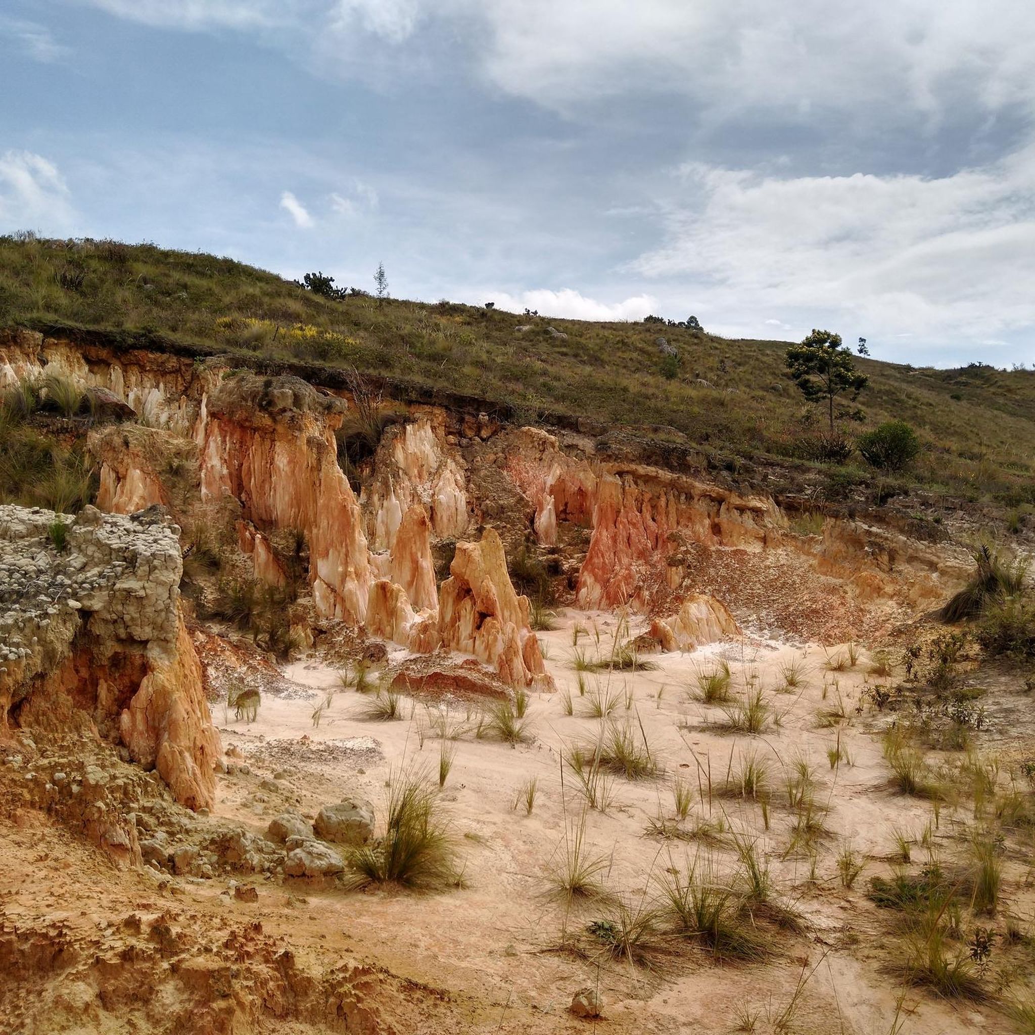
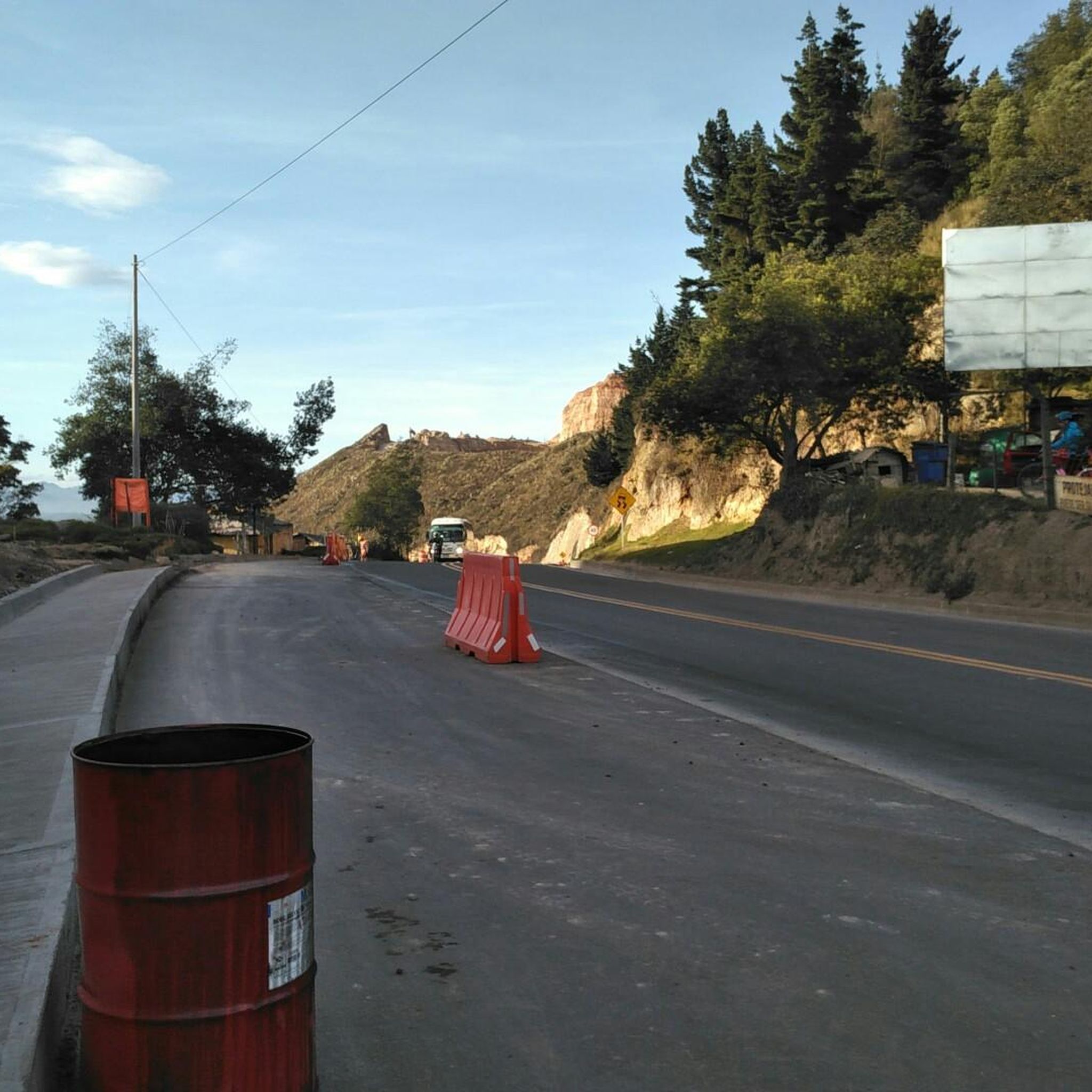

Tips from the Community

Road in poor condition, be careful going down, many potholes and gaps.
0
0
go up in sona 2
1
0

Beetle shop, variety of breakfast options and quite comfortable
0
0
In front of the goat is a place to rest and eat.
0
0
Be careful on a bumpy road
0
0
Yes, it is safe and many women go out riding very frequently.
0
0

Excellent route and beautiful landscapes.
0
0

Short but substantial training, the food in this place is very good, especially the cob wraps
0
0
Frequently Asked Questions
What kind of terrain and landscapes can I expect while road cycling in Bojacá?
Road cycling in Bojacá offers a diverse landscape, transitioning from the flat Bogotá savanna to challenging mountainous terrain. You'll encounter Andean forests and high tropical mountain ecosystems, providing significant elevation changes and panoramic views. The region is known for its 'hefty climbs' and 'lumpy roads', appealing to cyclists looking for a significant workout amidst incredible scenery.
Are there road cycling routes suitable for beginners in Bojacá?
While Bojacá is known for its challenging terrain, there are some routes suitable for beginners. Out of the 17 road cycling routes available, 2 are rated as easy and 5 as moderate. These routes offer a less demanding experience while still allowing you to enjoy the region's beauty.
What are some challenging road cycling routes in Bojacá?
Bojacá is a recognized hub for cyclists who enjoy demanding rides with considerable climbs. Many routes feature significant elevation gain. For instance, the Alto del Trigo – Alto de la Tribuna loop from Estación 1 - Facatativá is a difficult 122.5 km trail with over 3,200 meters of ascent, taking around 7 hours to complete. Another challenging option is the Roadbike loop from Tena, a 60.8 km difficult route with nearly 1,400 meters of elevation gain.
Are there any notable landmarks or viewpoints along the road cycling routes in Bojacá?
Yes, several routes pass by or offer views of interesting landmarks. You might encounter the Alto de Mondoñedo Cycling Rest Stop, a notable climb offering unique views. The stunning Tequendama Falls are also in the vicinity, providing a spectacular natural sight. Additionally, the region's high elevation often provides panoramic vistas of the surrounding landscapes.
What is the best time of year for road cycling in Bojacá?
The climate in Bojacá ranges from cold to temperate, making it suitable for outdoor activities throughout the year. However, it's always advisable to check local weather forecasts before heading out, as rain can occur. The consistent temperatures generally allow for enjoyable cycling experiences regardless of the season.
Can I find loop road cycling routes in Bojacá?
Yes, many of the road cycling routes in Bojacá are designed as loops, offering a convenient way to start and end your ride in the same location. Examples include the Bojacá Sign – Escarabajos Shop loop from Estación 1 - Facatativá and the Las Acacias loop from Eco-Parque Salto de las Monjas, both popular and challenging loop options.
Are there places to stop for refreshments or rest along the road cycling routes?
Yes, cyclists can find places to stop for refreshments. The Alto de Mondoñedo Cycling Rest Stop is a well-known spot, and the Escarabajos Shop is also a popular cafe mentioned in one of the loop routes. These spots provide opportunities to refuel and take a break during your ride.
What do other road cyclists enjoy most about road cycling in Bojacá?
The road cycling routes in Bojacá are highly rated by the komoot community, with an average score of 4.8 stars from over 70 reviews. Cyclists often praise the challenging climbs, the incredible scenery, and the diverse terrain that ranges from savannas to Andean forests. The vibrant local cycling culture, especially on Sundays, also contributes to an inviting environment.
What is the typical elevation gain on road cycling routes in Bojacá?
Road cycling in Bojacá is characterized by significant elevation changes due to its mountainous terrain and high altitude. Many routes feature substantial climbs; for example, the Bojacá Sign – Escarabajos Shop loop from Estación 1 - Facatativá has over 2,100 meters of ascent, and the Alto del Trigo – Alto de la Tribuna loop from Estación 1 - Facatativá boasts over 3,200 meters of climbing.
Are there any less crowded road cycling options in Bojacá?
While Sundays can be vibrant with local cyclists, the region offers a network of routes that allow for exploration. To find potentially less crowded options, consider exploring some of the moderate or less popular routes listed on komoot, or plan your rides during weekdays. The general area around Bojacá is characterized by green zones and forests, offering ample space for exploration.
How long do road cycling routes in Bojacá typically take to complete?
The duration of road cycling routes in Bojacá varies significantly based on their length and difficulty. For instance, a moderate route like the View of Zipacón – Authentic Cornbread Café loop from Estación 1 - Facatativá (29.8 km) can take around 1 hour 30 minutes. More challenging and longer routes, such as the Alto del Trigo – Alto de la Tribuna loop from Estación 1 - Facatativá (122.5 km), can take over 7 hours to complete.
Most popular routes in Bojacá
Most popular attractions in Bojacá

Get inspired with the komoot mobile app


Explore more
Browse the best Road cycling routes in other regions.
