The best MTB trails in Bojacá
4.6
(289)
830
riders
44
rides
Mountain bike trails in Bojacá are set within the diverse landscapes of Cundinamarca, Colombia, at an altitude of 2,598 meters. The region is characterized by a mix of gravel roads, ancient trails, and varying elevations, providing a range of challenges for mountain bikers. Riders can expect demanding inclines and diverse terrain, from temperate lands to savanna ecosystems. This area offers a refreshing escape with natural beauty and clean air.
Best mountain bike trails in Bojacá
- The most popular mountain bike…
Last updated: July 11, 2026
3.0
(1)
20
riders
50.3km
04:12
1,020m
1,020m
Hard mountain bike ride. Very good fitness required. Suitable for all skill levels.
4.8
(17)
39
riders
41.2km
03:10
560m
560m
Moderate mountain bike ride. Good fitness required. Suitable for all skill levels.

Sign up for free
5.0
(4)
33
riders
61.2km
04:40
990m
990m
Hard mountain bike ride. Very good fitness required. Suitable for all skill levels.
4.8
(15)
30
riders
Hard mountain bike ride. Very good fitness required. Suitable for all skill levels.
4.5
(4)
25
riders
41.6km
04:00
940m
950m
Hard mountain bike ride. Very good fitness required. Suitable for all skill levels.
Get access to more routes and recommendations from other explorers.
Sign up for free
Already have an account?
Our route recommendations are based on thousands of hikes, rides, and runs completed by other people on komoot.
Start today with a free account
Your next adventure awaits.
Login or Signup

Tips from the Community

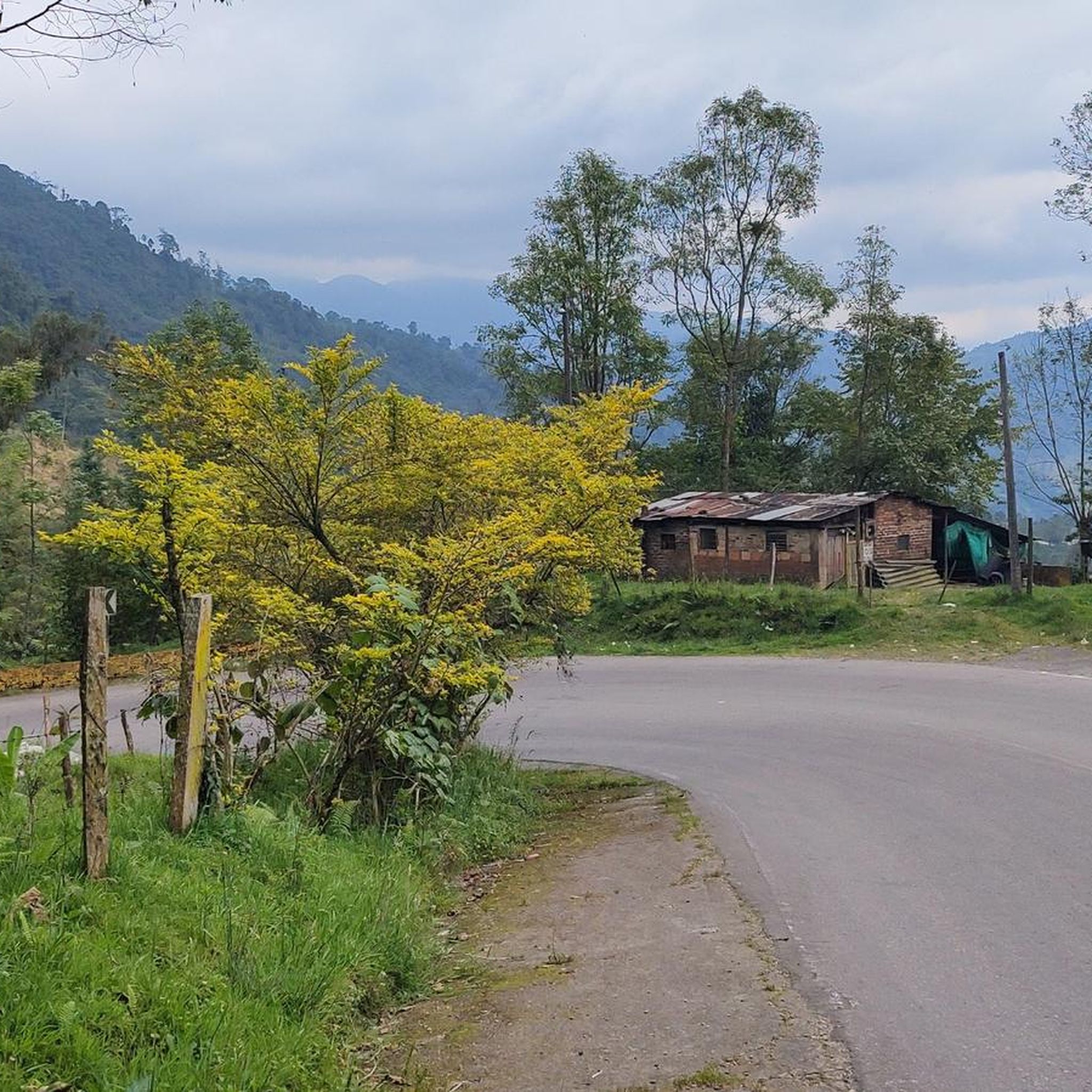
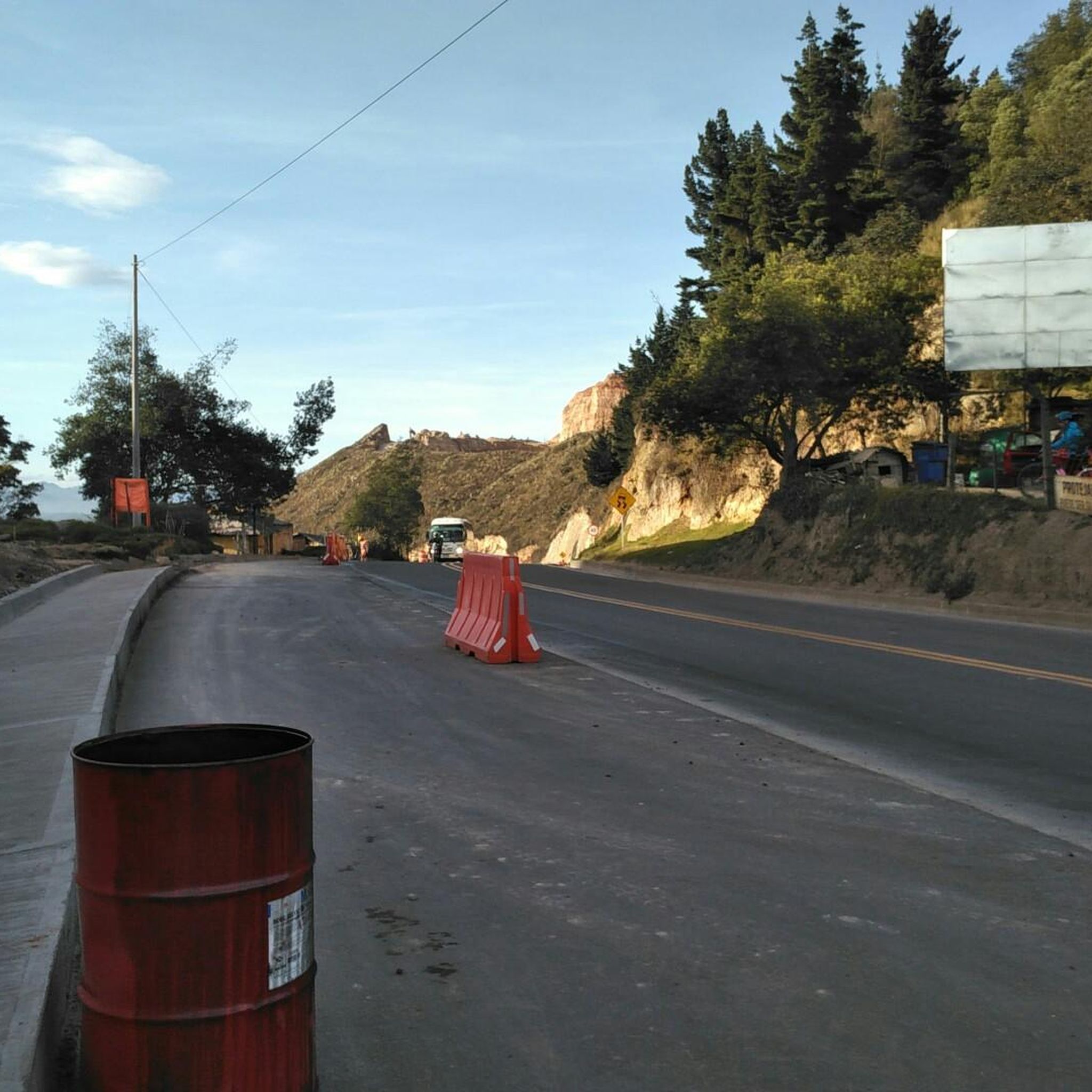
Road in poor condition, be careful going down, many potholes and gaps.
0
0

A safe place to train!!!
0
0

Perfect for starting out or training, the plan to get there develops your resistance
0
0


Very good to enjoy with the family! Low level of demand 😎💪🏻
0
0

It is a route to relax... little slope, flat, constant... here you can go out to Villeta and La Vega, municipalities of Cundinamarca... the weather can vary.
0
0
Frequently Asked Questions
How many mountain bike trails are there in Bojacá?
Bojacá offers a wide selection of mountain bike trails, with over 40 routes available for exploration. These trails cater to various skill levels, from moderate to difficult.
What kind of terrain can I expect on the mountain bike trails in Bojacá?
The trails in Bojacá feature diverse terrain, including gravel roads, ancient paths, and sections that traverse different thermal zones, from temperate lands to savanna ecosystems. You'll encounter demanding inclines and varied landscapes, including fog forests, providing a refreshing and challenging experience.
Are there any easy mountain bike trails for beginners in Bojacá?
While Bojacá is known for its moderate to difficult trails, there are no routes specifically classified as 'easy' in the area. Most trails require a good physical condition and some mountain biking experience due to varying elevations and technical sections.
What are some of the more challenging mountain bike routes in Bojacá?
For experienced riders seeking a challenge, routes like the Faca Road – La Casa Morada loop from Estación 3 - Madrid, which is 38.1 miles (61.3 km) with significant elevation gain, or the Alto de Padilla – Alto del Vino loop from Estación 17, a 45.1 km route with nearly 940m of ascent, offer demanding inclines and technical sections. The Faca Road – Greenways of Cundinamarca loop from Estación 17 is another difficult option.
What landmarks or scenic viewpoints can I see along the mountain bike trails in Bojacá?
Many trails offer access to stunning natural features and viewpoints. You can visit the Alto de Mondoñedo Cycling Rest Stop for unique views, or the majestic Tequendama Falls. The Piedras de Chivo Negro Archaeological Park, while not directly on a listed route, offers panoramic views of the savanna from its higher points and is a significant nearby attraction.
When is the best time of year to go mountain biking in Bojacá?
Bojacá, situated at 2,598 meters (8,524 ft) on the Bogotá savanna, offers a refreshing escape with clean air. While specific seasonal recommendations aren't provided, the region's diverse ecosystems suggest that conditions can vary. It's generally advisable to check local weather forecasts before planning your ride, especially considering the presence of fog forests which might imply certain weather patterns.
Are there any family-friendly activities or attractions in Bojacá beyond mountain biking?
Yes, Bojacá offers several family-friendly activities. The town features charming colonial-style houses and the significant religious site of Santuario de Nuestra Señora de la Salud. For entertainment, you can find go-karting, bumper cars, and horseback riding. The local gastronomic scene also provides opportunities for family outings.
Can I find places to eat or stay near the mountain bike trails in Bojacá?
Bojacá has a local gastronomic scene, and you can find places like Escarabajos Shop, which is a cafe. While specific accommodations directly on trails are not detailed, the municipality offers a tranquil setting away from the city's bustle, suggesting options for visitors.
What do other mountain bikers enjoy most about mountain biking in Bojacá?
The mountain biking experience in Bojacá is highly rated by the komoot community, with an average score of 4.6 stars from over 300 reviews. Riders often praise the diverse landscapes, challenging terrain, and the refreshing escape with natural beauty and clean air that the region provides.
Are there any circular mountain bike routes available in Bojacá?
Yes, Bojacá offers several circular routes. Examples include the Alto de Padilla – Cycling Trail Near La Vega loop from Estación 1 - Facatativá and the Alto de Padilla – Cycling Trail Near La Vega loop from Estación 16. These loops provide varied experiences and are popular among local mountain bikers.
What is the typical elevation gain on Bojacá's mountain bike trails?
The elevation gain on Bojacá's trails can vary significantly, reflecting the region's diverse topography. For instance, a moderate route like the Alto de Padilla – Cycling Trail Near La Vega loop from Estación 1 - Facatativá involves around 495 meters of ascent, while more difficult trails such as the Faca Road – La Casa Morada loop from Estación 3 - Madrid can feature nearly 1000 meters of climbing.
Is it possible to access the trails via public transport, or is a car necessary?
Bojacá is approximately 40 kilometers from Bogotá, making it accessible from the capital. While the region is well-known for outdoor activities, specific public transport options directly to trailheads are not detailed. Having a car would likely offer more flexibility for reaching various starting points for the mountain bike trails.
Most popular routes in Bojacá
Most popular attractions in Bojacá

Get inspired with the komoot mobile app


Explore more
Browse the best MTB trails in other regions.
