
The best running trails in Popayán
5.0
(8)
101
runners
14
runs
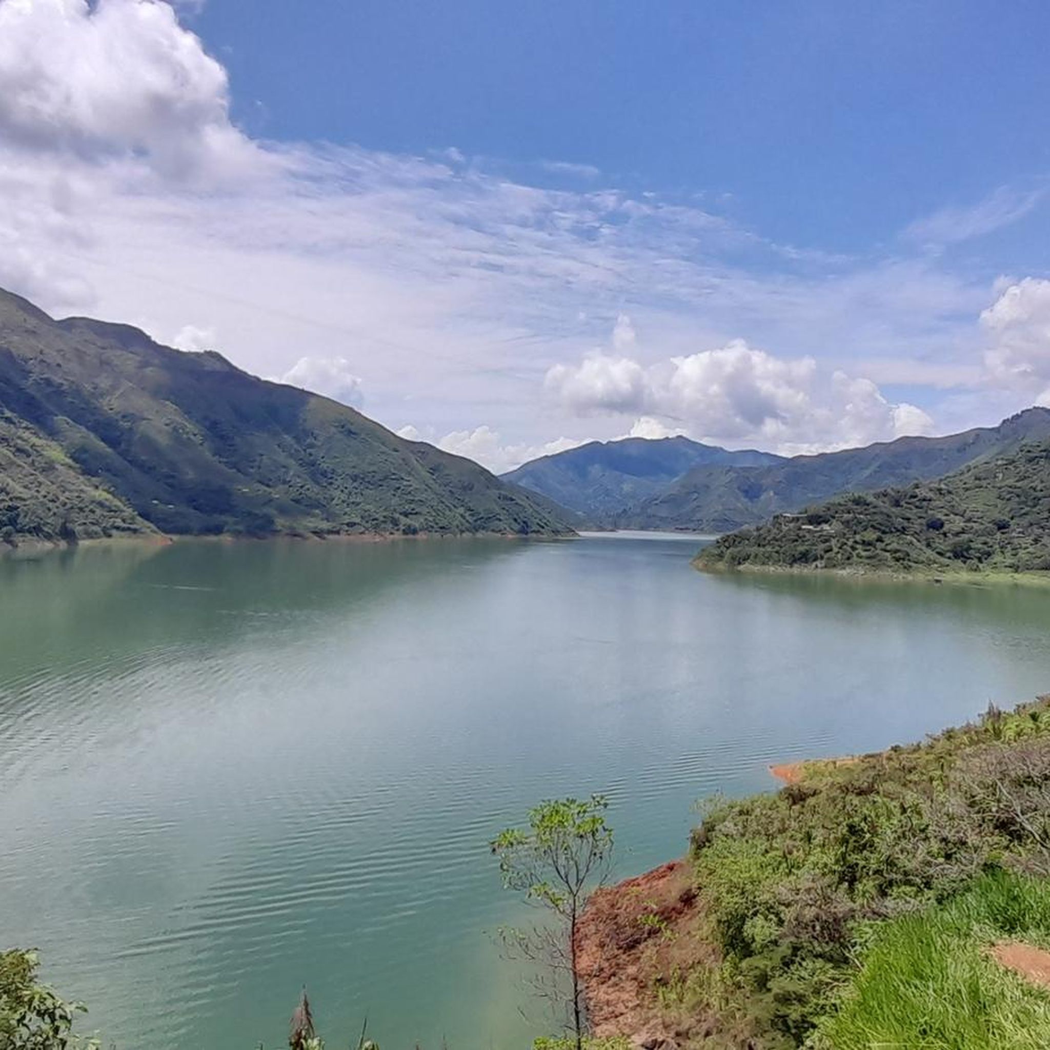
Jogging routes in Popayán are set within the Pubenza Valley, nestled between the Western and Central Mountain Ranges of the Andes, at an elevation of 1,760 meters (5,770 feet). The region offers diverse landscapes with variations in elevation, providing varied terrains for running. Popayán's mild, warm-temperate climate, with average temperatures around 18°C (64°F), creates comfortable conditions for outdoor activities year-round. The city combines urban charm with accessible natural features, making it suitable for active exploration.
Best jogging routes in Popayán
…Last updated: July 13, 2026
14
runners
9.67km
01:01
80m
80m
Moderate run. Good fitness required. Mostly paved surfaces. Suitable for all skill levels.
9
runners
8.17km
00:51
70m
70m
Moderate run. Good fitness required. Mostly paved surfaces. Suitable for all skill levels.

Sign up for free
7
runners
9.25km
00:58
90m
90m
Moderate run. Good fitness required. Mostly paved surfaces. Suitable for all skill levels.
9
runners
11.1km
01:19
290m
290m
Hard run. Good fitness required. Sure-footedness, sturdy shoes and alpine experience required.
5.0
(2)
8
runners
26.7km
03:13
480m
480m
Hard run. Very good fitness required. Mostly paved surfaces. Suitable for all skill levels.
Get access to more routes and recommendations from other explorers.
Sign up for free
Already have an account?
Our route recommendations are based on thousands of hikes, rides, and runs completed by other people on komoot.
Start today with a free account
Your next adventure awaits.
Login or Signup
Popular around Popayán
Frequently Asked Questions
How many running routes are available in Popayán?
Popayán offers a diverse selection of over 15 jogging routes, catering to various fitness levels and preferences. These routes are highly rated by the komoot community, with an average score of 5.0 stars.
What are the different difficulty levels for jogging trails in Popayán?
You'll find a good mix of challenges. Popayán features 2 easy routes, 10 moderate routes, and 4 difficult routes, ensuring there's something for everyone, from casual joggers to experienced trail runners.
Are there any routes that offer panoramic views of Popayán?
Yes, several routes provide stunning vistas. The El Morro loop from Popayán is a popular choice, ascending the iconic Morro de Tulcán for panoramic views of the city's white-washed buildings. Another challenging option is the Cerro de las Tres Cruces loop from Popayán, which also offers significant elevation gain and rewarding views.
What is the climate like for running in Popayán?
Popayán boasts a mild and stable warm-temperate climate year-round, with average temperatures around 18°C (64°F). This creates comfortable conditions for outdoor activities. While there's abundant precipitation, especially from June to September and in November, you can often find sunnier periods in July and August.
Are there any family-friendly jogging routes in Popayán?
While specific 'family-friendly' routes are not explicitly detailed, the city's urban green spaces and less strenuous loops, such as the Running loop from Guillermo León Valencia Airport, which leads through urban and suburban areas, could be suitable for families looking for a more relaxed experience. Always check the route's distance and elevation for suitability.
Can I find circular running routes in Popayán?
Yes, many of the jogging routes in Popayán are designed as loops, allowing you to start and finish at the same point. Examples include the El Morro loop from Popayán and the Running loop from Comuna 2, offering convenient options for your run.
Are there any natural attractions or landmarks along the running trails?
Absolutely. The iconic Morro de Tulcán is a historical site and a popular spot for runners, offering panoramic views. For those seeking more extensive natural beauty, the Puracé National Natural Park, southeast of the city, features volcanoes, waterfalls, and unique ecosystems, providing a stimulating environment for trail running. Within the city, the area along the Río Molino near the historic Puente del Humilladero offers pleasant paths.
What do other runners enjoy most about jogging in Popayán?
The komoot community highly rates Popayán's running trails, with an average score of 5.0 stars. Runners often praise the diverse terrain, from urban hills to scenic cityscapes, and the accessible routes near the Andes foothills. The combination of cultural charm and natural beauty makes for a unique running experience.
Are there options for parking near the jogging routes?
Many routes in Popayán are accessible from various points within or near the city, making parking generally manageable. For routes starting from specific areas like the Guillermo León Valencia Airport or residential clubs, parking facilities are typically available nearby. For urban routes, street parking or public parking lots would be options.
Are there any dog-friendly running trails in Popayán?
While specific dog-friendly designations are not provided, many outdoor trails and urban parks in Popayán are generally welcoming to dogs on a leash. It's always advisable to check local regulations or signage at the trailhead for any specific restrictions regarding pets, especially in protected natural areas like Puracé National Park.
What kind of terrain can I expect on Popayán's running routes?
Popayán's routes offer varied terrain, from paved urban paths to more challenging climbs on hills like Morro de Tulcán and Cerro de las Tres Cruces. You'll encounter a mix of cityscapes and accessible routes near the Andes foothills, providing options for different preferences and fitness levels.
Can I find cafes or restaurants near the running routes for a post-run refreshment?
Yes, especially for routes that traverse urban or suburban areas. For instance, routes around the city center or near landmarks like Morro de Tulcán will have cafes and restaurants within easy reach. Popayán's vibrant city life ensures many options for refreshments after your run.
Most popular routes in Popayán

Get inspired with the komoot mobile app


Explore more
Browse the best Running Trails & Routes in other regions.
