The best road cycling routes in Popayán
5.0
(3)
36
riders
4
rides
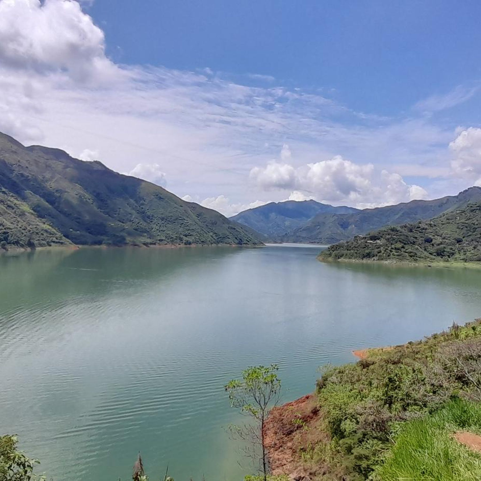
Road cycling in Popayán offers diverse landscapes and challenging terrain within the Andean Mountains. The region is characterized by luscious green hills rolling into mountains, fields lined with trees, and streams criss-crossing the landscape. Cyclists encounter significant elevation gains on many routes, with both paved and unpaved surfaces available. The area also features the foothills of Puracé National Natural Park and scenic loops along rivers like the Río Cauca.
Best road cycling routes in Popayán
- The most popular road cycling…
Last updated: July 13, 2026
11
riders
30.7km
01:21
310m
310m
Moderate road ride. Good fitness required. Mostly well-paved surfaces and easy to ride.
5.0
(1)
10
riders
95.2km
04:50
1,150m
1,150m
Hard road ride. Very good fitness required. Mostly well-paved surfaces and easy to ride.

Sign up for free
8
riders
Easy road ride. Great for any fitness level. Mostly well-paved surfaces and easy to ride.
5.0
(2)
7
riders
Moderate road ride. Good fitness required. Mostly well-paved surfaces and easy to ride.
Our route recommendations are based on thousands of hikes, rides, and runs completed by other people on komoot.
Start today with a free account
Your next adventure awaits.
Login or Signup
Popular around Popayán

Tips from the Community

Short route with good incline
0
0

A great route, good for cross-country training
0
0
Frequently Asked Questions
How many road cycling routes are available in Popayán?
Popayán offers an extensive network of over 240 cycling routes. Our guide features a selection of 4 road cycling routes, ranging from easy to difficult, allowing you to explore the diverse landscapes of the Andean Mountains.
What kind of terrain can I expect on road cycling routes around Popayán?
Road cycling in Popayán features diverse terrain, from luscious green hills rolling into mountains to fields lined with trees and streams. You'll encounter significant elevation gains on many routes, with both paved and unpaved surfaces. Some routes even pass through cloud forests along cliffs, offering dramatic scenery.
Are there road cycling routes suitable for beginners in Popayán?
Yes, Popayán has several easy road cycling routes perfect for beginners. For instance, the Roadbike loop from Parqueadero is an easy 28.5 km trail that provides a gentle introduction to the region's varied landscapes. Another easy option is the Ehlon Office Workspace – Flor Valvina Tandioy Cabrera loop from Guillermo León Valencia Airport, covering 21.5 km.
What are some challenging road cycling routes in Popayán for experienced riders?
For experienced cyclists seeking a challenge, Popayán offers routes with significant elevation gain. The Roadbike loop from Reserva Natural de la Sociedad Civil Amalaka is a difficult 95.2 km trail leading through the Andean foothills, featuring over 1,150 meters of ascent. Longer routes extending to destinations like San Agustin (133 km with 1,990m elevation) and Inza (124.3 km with 2,936m elevation) also provide multi-day adventures.
What natural features or landmarks can I see along the road cycling routes?
Many routes offer stunning views of the Andean Mountains and pass through the foothills of Puracé National Natural Park. You can also cycle along rivers like the Río Cauca. The Cerro de El Morro – Ehlon Office Workspace loop from Guillermo León Valencia Airport offers views of Cerro de El Morro, a natural hill providing excellent panoramic views of Popayán's white buildings.
Are there any circular road cycling routes in Popayán?
Yes, many of the road cycling routes in Popayán are designed as loops. Examples include the Roadbike loop from Parqueadero, the Roadbike loop from Reserva Natural de la Sociedad Civil Amalaka, and the Cerro de El Morro – Ehlon Office Workspace loop from Guillermo León Valencia Airport, all offering scenic circular journeys.
What is the best time of year for road biking in Popayán?
Popayán's climate is generally mild year-round due to its elevation. However, the dry seasons typically offer the most favorable conditions for road cycling, with less rain and clearer skies for enjoying the mountain views. It's always advisable to check local weather forecasts before heading out.
Are there hot springs near Popayán for post-ride relaxation?
Yes, the region is known for its natural hot springs, which are perfect for recovery after a ride. The Coconuco Hot Springs are a popular destination about 45 minutes from Popayán, and some tours even combine cycling with a visit. Termales de San Juan, located within Puracé National Natural Park, is another notable option.
What do other road cyclists enjoy most about road cycling in Popayán?
The road cycling routes in Popayán are highly rated by the komoot community, with an average score of 5.0 stars. Cyclists often praise the diverse landscapes, the challenge of the Andean terrain, and the opportunity to experience authentic Colombian culture in small towns along the way. The low traffic on many sealed backroads is also frequently appreciated.
Can I find bike rental services in Popayán?
While specific rental shops are not detailed in this guide, Popayán is a growing destination for cycling. Local tour operators often provide bike rentals as part of their packages, and you may find independent rental services in the city center. Inquiring with local tourism offices or hotels can also yield information on rental options.
Are there options for family-friendly road cycling in Popayán?
Yes, Popayán offers easy two-hour rides with minimal elevation gain that are suitable for all skill levels, including families. These routes often feature well-paved surfaces and low traffic, making them a pleasant experience for a family outing. The Roadbike loop from Parqueadero is an example of an easy route that could be suitable.
What are the typical distances and elevation gains for road cycling routes in Popayán?
Routes vary significantly. Easy rides can be around 20-30 km with minimal elevation, such as the Roadbike loop from Parqueadero (28.5 km, 278m elevation). Moderate routes like the Cerro de El Morro – Ehlon Office Workspace loop from Guillermo León Valencia Airport cover about 40 km with nearly 600m of ascent. Challenging routes can extend to 95 km with over 1,150m of elevation, like the Roadbike loop from Reserva Natural de la Sociedad Civil Amalaka, or even multi-day rides over 100 km with thousands of meters of climbing.
Most popular routes in Popayán

Get inspired with the komoot mobile app


Explore more
Browse the best Road cycling routes in other regions.
