The best cycling routes in Cuítiva
4.8
(23)
229
riders
10
rides
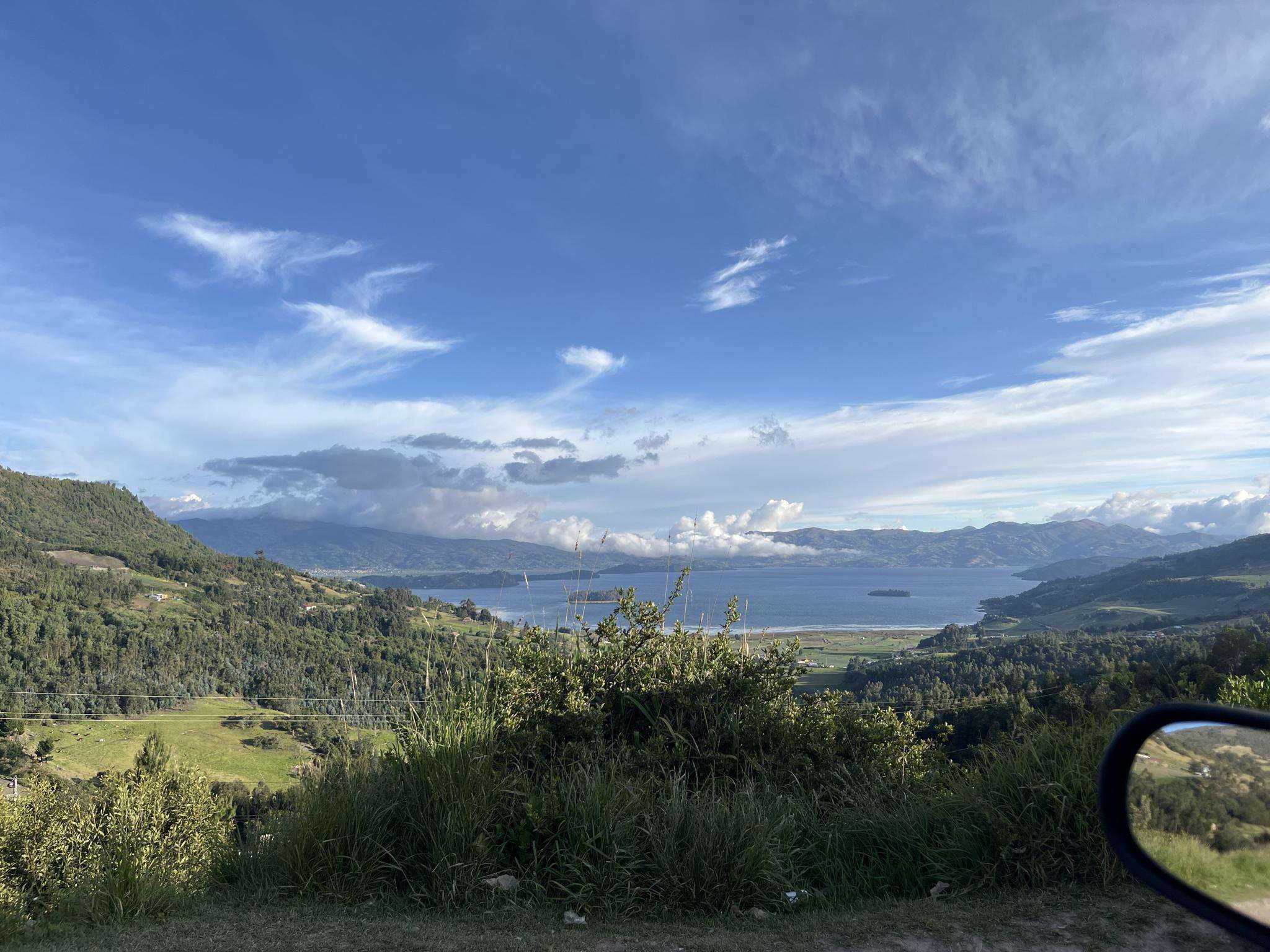
Touring cycling in Cuítiva, located on the Altiplano Cundiboyacense at 2,750 meters altitude, offers routes through diverse and challenging landscapes. The region features significant elevation changes, with routes reaching up to 3,200 meters, ideal for demanding cycling. Riders can explore areas bordering Lake Tota, high-altitude páramos, and mountainous terrain. These routes often connect tranquil rural towns and showcase the area's natural features.
Best touring cycling routes in Cuítiva
- The most popular touring cycling route is Viewpoint for Lago De Tota…
Last updated: July 15, 2026
4.0
(1)
32
riders
64.8km
05:42
1,270m
1,270m
Hard bike ride. Very good fitness required. Mostly paved surfaces. Suitable for all skill levels.
5.0
(1)
33
riders
51.4km
04:07
980m
980m
Hard bike ride. Very good fitness required. Mostly paved surfaces. Suitable for all skill levels.

Sign up for free
4.3
(3)
23
riders
70.3km
05:39
1,060m
1,060m
Hard bike ride. Very good fitness required. Mostly paved surfaces. Suitable for all skill levels.
4.0
(1)
17
riders
44.7km
03:34
710m
710m
Hard bike ride. Very good fitness required. Mostly paved surfaces. Suitable for all skill levels.
22
riders
52.4km
03:56
980m
980m
Hard bike ride. Very good fitness required. Mostly paved surfaces. Suitable for all skill levels.
Get access to more routes and recommendations from other explorers.
Sign up for free
Already have an account?
Our route recommendations are based on thousands of hikes, rides, and runs completed by other people on komoot.
Start today with a free account
Your next adventure awaits.
Login or Signup
Popular around Cuítiva
Tips from the Community

There's a nice restaurant here with a speciality of locally caught trout.
0
0
Frequently Asked Questions
How many touring cycling routes are available in Cuítiva?
Cuítiva offers a selection of 11 touring cycling routes, primarily catering to experienced cyclists due to significant elevation changes and challenging terrain.
What is the typical terrain like for touring cycling in Cuítiva?
The terrain in Cuítiva is predominantly mountainous, situated on the Altiplano Cundiboyacense at an altitude of 2,750 meters, with routes reaching up to 3,200 meters. You'll encounter significant elevation changes, high-altitude páramos, and scenic paths around Lake Tota.
What is the best time of year for touring cycling in Cuítiva?
While touring cycling is possible year-round, months like July and October are particularly popular among cyclists in the Boyacá department, suggesting favorable conditions during these periods.
What are the difficulty levels of touring cycling routes in Cuítiva?
The routes in Cuítiva are generally challenging. Out of the 11 available touring cycling routes, 10 are rated as difficult, with only one considered moderate. This makes the area ideal for experienced cyclists seeking demanding rides.
Are there any circular touring cycling routes in Cuítiva?
Yes, many of the touring cycling routes in Cuítiva are designed as loops. For example, you can explore the Viewpoint for Lago De Tota loop from Iza or the Reserva Natural Montecito – Cicua loop from Iza, both offering varied scenery and terrain.
What natural attractions can I see while touring cycling in Cuítiva?
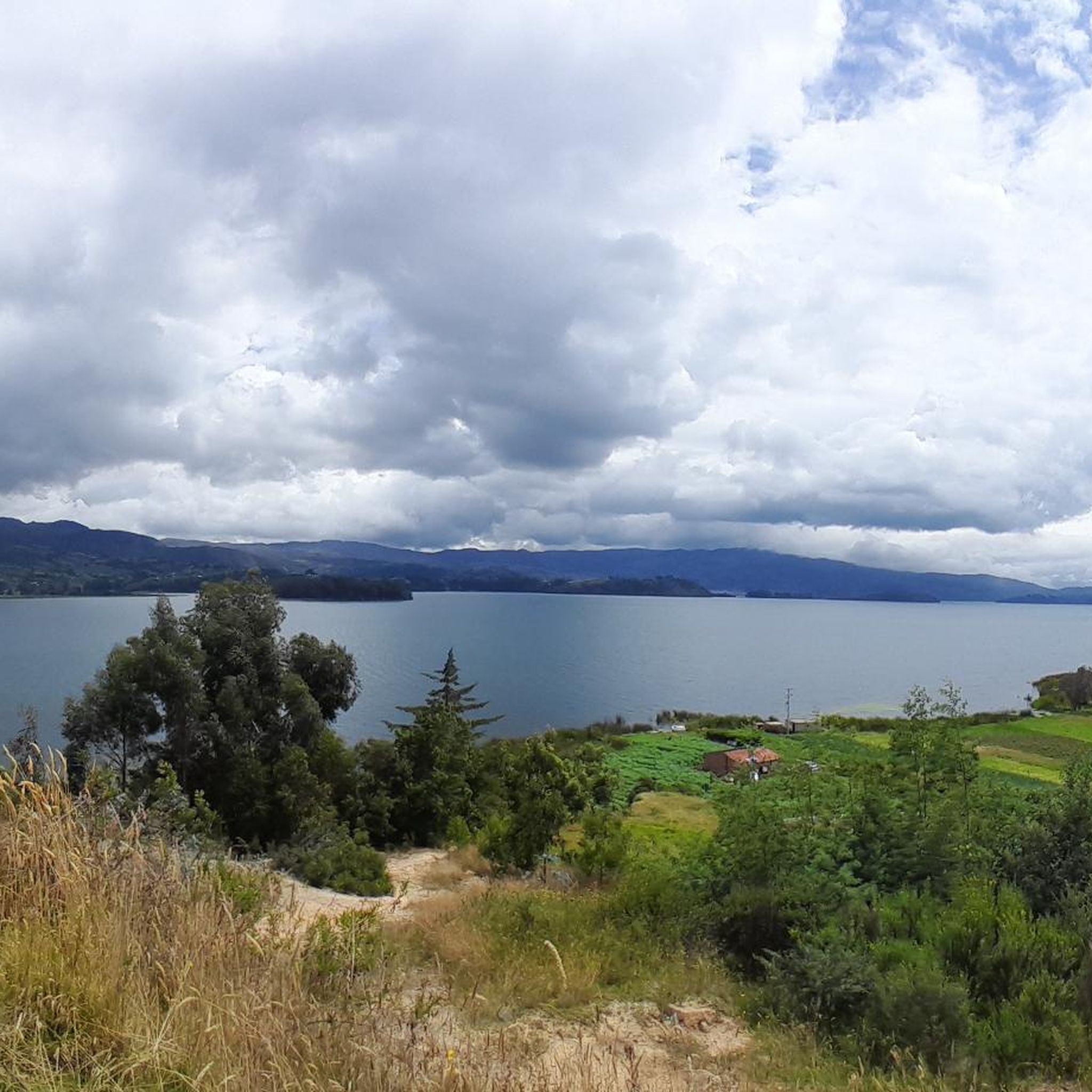
Touring cyclists in Cuítiva can enjoy breathtaking natural attractions. Routes often border the magnificent Lake Tota, and you'll find access to unique high-altitude páramos. Some routes also pass near areas known for natural thermal hot springs. The Lake Tota itself is a major highlight.
Are there any cultural or historical landmarks to explore in Cuítiva?
Cuítiva is rich in Muisca heritage, evident in its quiet rural town and main plaza featuring Muisca sculptures. A stone point of entrance displays important Muisca deities. You might also encounter local architecture and charming rural Colombian life. The Firavitoba Church is another notable landmark in the vicinity.
Are there specific viewpoints or challenging climbs for touring cyclists?
Absolutely. The region is known for significant climbs like Alto del Crucero, which starts in Sogamoso and stretches for about 16 km with an average incline of 5%. Another legendary climb is Crucero Surtipan, known for inclines up to 15% and being one of Colombia's longest climbs from Aguazul Casanare.
Are there any places to stop for refreshments or rest along the routes?
Yes, as you cycle through the tranquil rural towns connected by these routes, you may find local establishments. For instance, the Cyclists' Stop in Pesca is a specific highlight where you can take a break and refuel.
Is Cuítiva suitable for family touring cycling?
Due to the significant elevation changes and the fact that most routes are rated as difficult, Cuítiva is generally more suited for experienced adult touring cyclists. Families with younger children or those seeking gentler rides might find the terrain quite challenging.
What do other touring cyclists enjoy the most about touring cycling in Cuítiva?
The area is highly rated by the komoot community, with an average score of 4.7 stars. Reviewers often praise the diverse and challenging landscapes, the stunning views of Lake Tota, and the sense of accomplishment from tackling the significant climbs and high-altitude terrain.
What kind of clothing should I wear for touring cycling in Cuítiva?
Given the high altitude (2,750m to 3,200m) and potential for varied weather in mountainous and páramo ecosystems, it's advisable to dress in layers. Be prepared for cooler temperatures, especially at higher elevations or during descents, and consider waterproof or windproof outer layers.
Most popular routes in Cuítiva
Most popular attractions in Cuítiva

Get inspired with the komoot mobile app


Explore more
Browse the best Cycling routes in other regions.
