The best MTB trails in Cuítiva
4.9
(34)
201
riders
17
rides
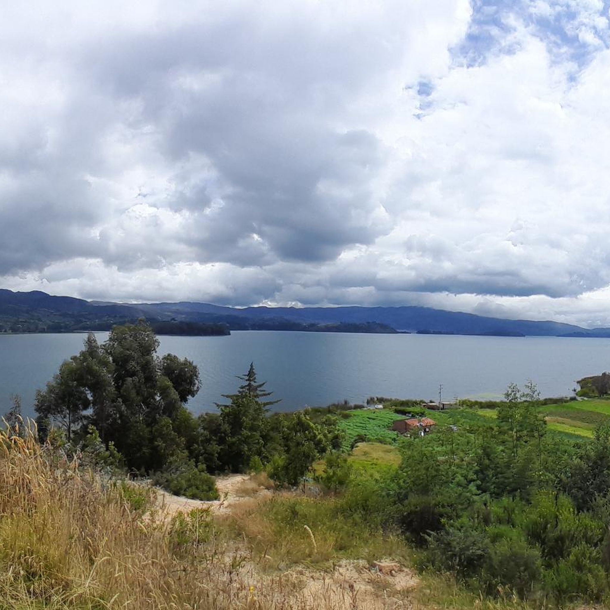
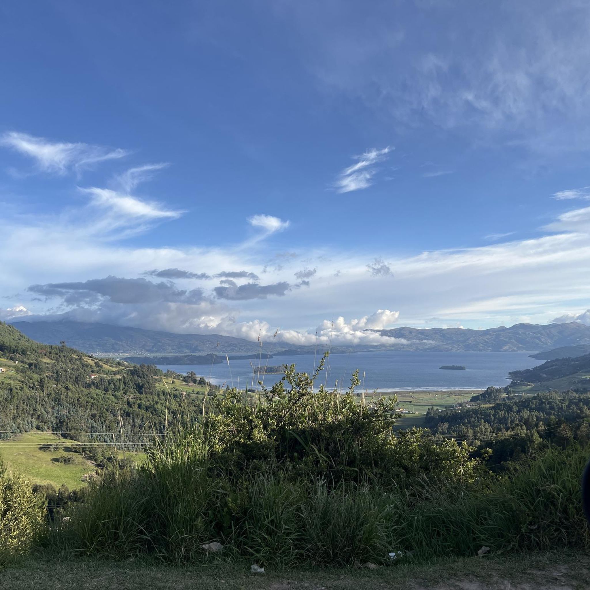
Mountain bike trails in Cuítiva are situated within the elevated Andean landscapes of Colombia's Boyacá department, offering diverse terrain for cyclists. The region's urban center is at 2,750 meters (9,020 ft), with altitudes reaching up to 3,200 meters (10,500 ft), providing significant ascents and descents. This high-altitude environment features rural roads, agricultural scenery, and proximity to Lake Tota, making it suitable for challenging mountain biking. The area is characterized by its varied topography, including paths through farmlands and natural features.
…Last updated: July 15, 2026
5.0
(3)
22
riders
60.3km
04:56
1,210m
1,210m
Hard mountain bike ride. Very good fitness required. Suitable for all skill levels.
4.9
(7)
23
riders
Moderate mountain bike ride. Good fitness required. Suitable for all skill levels.

Sign up for free
5.0
(3)
15
riders
53.1km
03:54
750m
750m
Moderate mountain bike ride. Good fitness required. Suitable for all skill levels.
5.0
(3)
8
riders
39.9km
02:21
220m
220m
Moderate mountain bike ride. Good fitness required. Suitable for all skill levels.
5.0
(1)
8
riders
32.9km
02:18
470m
470m
Moderate mountain bike ride. Good fitness required. Suitable for all skill levels.
Get access to more routes and recommendations from other explorers.
Sign up for free
Already have an account?
Our route recommendations are based on thousands of hikes, rides, and runs completed by other people on komoot.
Start today with a free account
Your next adventure awaits.
Login or Signup
Popular around Cuítiva
Tips from the Community

Detour to Making Biafra. At this point there is a house of the national army called the Casa del Soldado. There is a large eucalyptus.
0
0
Mechanized Artillery Battalion No 1 Tarqui. Sogamoso City.
0
0
Diversion on unpaved terrain to go to the schools of Cuarto Molanos and Escuela/Vereda San Luis
0
0
From this point you can divert to the path that leads to the village of El Tendido and Patrocio Alto. From the road, the climb is challenging with inclinations greater than 15% on stony terrain.
0
0
Crossroads with the road that leads to the Pantano de Vargas. To the south west it leads to 4 Esquinas to the north east it leads to the hill of Guatika
0
0
Enchanting bullring of Firavitoba.
0
0
Public swimming pool in Firavitoba. Next to the road that leads to Alto de los Curies / Pantano de Vargas. Cold water.
0
0
Beginning of the climb to the Alto de los Curies in Firavitoba. It is 7 kilometers from this point.
0
0
Frequently Asked Questions
How many mountain bike trails are available in Cuítiva?
There are 19 mountain bike trails available in Cuítiva on komoot, offering a range of difficulties from easy to difficult. These routes are highly rated by the komoot community, with an average score of 4.9 stars.
Are there mountain bike trails suitable for beginners or families in Cuítiva?
Yes, Cuítiva offers 2 easy mountain bike trails that are well-suited for beginners or families looking for a less strenuous ride. These routes typically feature gentler terrain and shorter distances, allowing for an enjoyable experience amidst the region's scenic agricultural landscapes.
What is the typical duration for mountain bike trails in Cuítiva?
The duration of mountain bike trails in Cuítiva varies significantly depending on the route's length and difficulty. For example, a moderate trail like Iza – Panadería Mistral loop from U1- El Batán covers 39.9 km and typically takes around 2 hours 20 minutes, while a more challenging route such as Panadería Mistral – Tota Main Park loop from Iza, at 60.3 km, can take nearly 5 hours.
What kind of terrain can I expect on mountain bike trails in Cuítiva?
Mountain bike trails in Cuítiva feature diverse Andean terrain, ranging from rural roads and paths through farmlands to more challenging ascents and descents. Given the region's altitude, which can reach up to 3,200 meters (10,500 ft), you can expect significant elevation changes and expansive high-altitude views, especially on routes around Lake Tota.
Are there any loop trails for mountain biking in Cuítiva?
Yes, many mountain bike trails in Cuítiva are designed as loops, offering a convenient way to explore the region without retracing your steps. Examples include the challenging Panadería Mistral – Tota Main Park loop from Iza and the moderate Las Cruces de Firavitoba – Curies Summit loop from Iza.
What can I see along the mountain bike trails in Cuítiva?
Along the mountain bike trails in Cuítiva, you can experience picturesque rural and agricultural scenery, passing through charming Boyacense towns. Notable attractions include the scenic Lake Tota, the largest lake in Colombia, and various viewpoints like Alto del Crucero. You might also encounter local landmarks such as the Firavitoba Church.
What is the best time of year for mountain biking in Cuítiva?
Given Cuítiva's high-altitude Andean climate, the best time for mountain biking generally aligns with drier periods. While specific seasonal recommendations aren't provided, the region's weather can be variable. It's always advisable to check local weather forecasts before heading out, especially considering the significant elevation changes.
Are there places to eat or drink near the mountain bike trails in Cuítiva?
Yes, as you cycle through Cuítiva and its neighboring Boyacense towns, you'll find opportunities for refreshments. For instance, the Cyclists' Stop in Pesca is a highlight, indicating that local establishments cater to cyclists. Many routes pass through or near towns where cafes and restaurants are available.
Is public transport available to reach mountain biking areas in Cuítiva?
While specific public transport details for cyclists are not provided, Cuítiva is part of the Sugamuxi Province, and regional buses typically connect towns in Boyacá. For routes around Lake Tota, you might find transport options to nearby towns like Iza or Sogamoso, from where you can start your ride. It's recommended to check local bus schedules and policies regarding bicycles.
What do other mountain bikers enjoy most about mountain biking in Cuítiva?
The komoot community highly rates mountain biking in Cuítiva, with an average score of 4.9 stars from over 20 reviews. Riders often praise the diverse Andean terrain, the challenging ascents and rewarding descents, and the opportunity to explore rural roads and picturesque agricultural landscapes. The proximity to Lake Tota is also a significant draw.
Are there any advanced mountain bike routes in Cuítiva?
Yes, Cuítiva offers 2 difficult mountain bike routes for experienced riders seeking a challenge. These trails feature significant elevation changes and longer distances, such as the Panadería Mistral – Tota Main Park loop from Iza, which covers over 60 km with substantial climbing.
Can I find parking facilities near the mountain bike trails in Cuítiva?
While specific parking facilities are not detailed for every trailhead, when cycling through towns like Iza, which serves as a common starting point for many routes, you can typically find parking options. For routes around Lake Tota, there are likely designated areas for visitors. It's advisable to check local information for specific parking locations before your trip.
Most popular routes in Cuítiva
Most popular attractions in Cuítiva

Get inspired with the komoot mobile app


Explore more
Browse the best MTB trails in other regions.
