The best road cycling routes around Hartha
4.3
(131)
1,305
riders
19
rides
Road cycling routes around Hartha are set within the central Saxon hinterland, characterized by rolling hills and varied ascents. The region features well-maintained roads, including paths with smooth asphalt surfaces, suitable for different levels of experience. Cyclists can explore landscapes that include river valleys, such as the Zschopau River, and the Kriebstein Reservoir. This area provides an engaging environment for road cycling, combining natural scenery with historical landmarks.
Best road cycling routes around Hartha
- The most popular road cycling route…
Last updated: October 13, 2026
4.3
(3)
34
riders
Moderate road ride. Good fitness required. Some segments of this route may be unpaved and difficult to ride.
3.0
(1)
21
riders
Moderate road ride. Good fitness required. Some segments of this route may be unpaved and difficult to ride.

3.0
(1)
12
riders
37.5km
01:55
380m
380m
Moderate road ride. Good fitness required. Some segments of this route may be unpaved and difficult to ride.
10
riders
33.1km
01:43
280m
280m
Moderate road ride. Great for any fitness level. Some segments of this route may be unpaved and difficult to ride.
4.0
(1)
12
riders
47.6km
02:16
480m
480m
Moderate road ride. Good fitness required. Some segments of this route may be unpaved and difficult to ride.
Get access to more routes and recommendations from other explorers.
Already have an account?
Our route recommendations are based on thousands of hikes, rides, and runs completed by other people on komoot.
Start today with a free account
Your next adventure awaits.
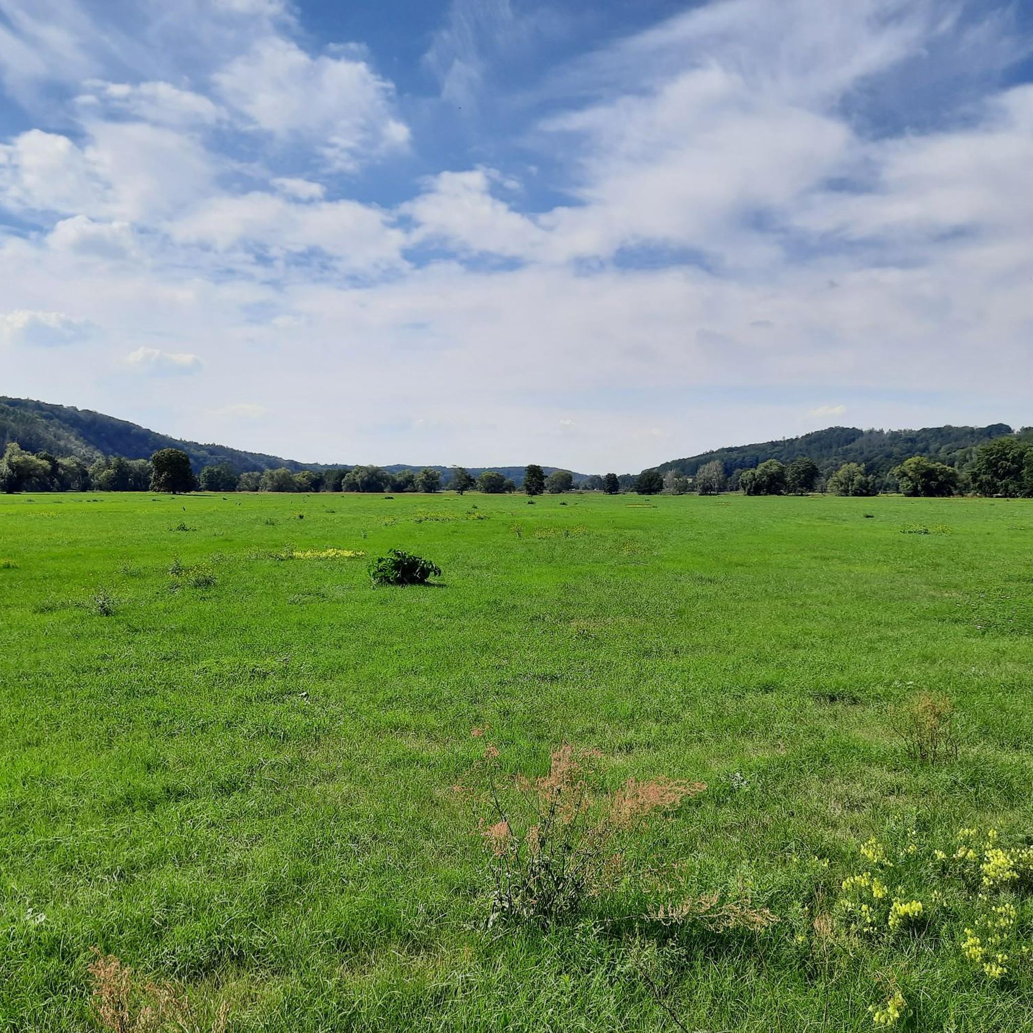
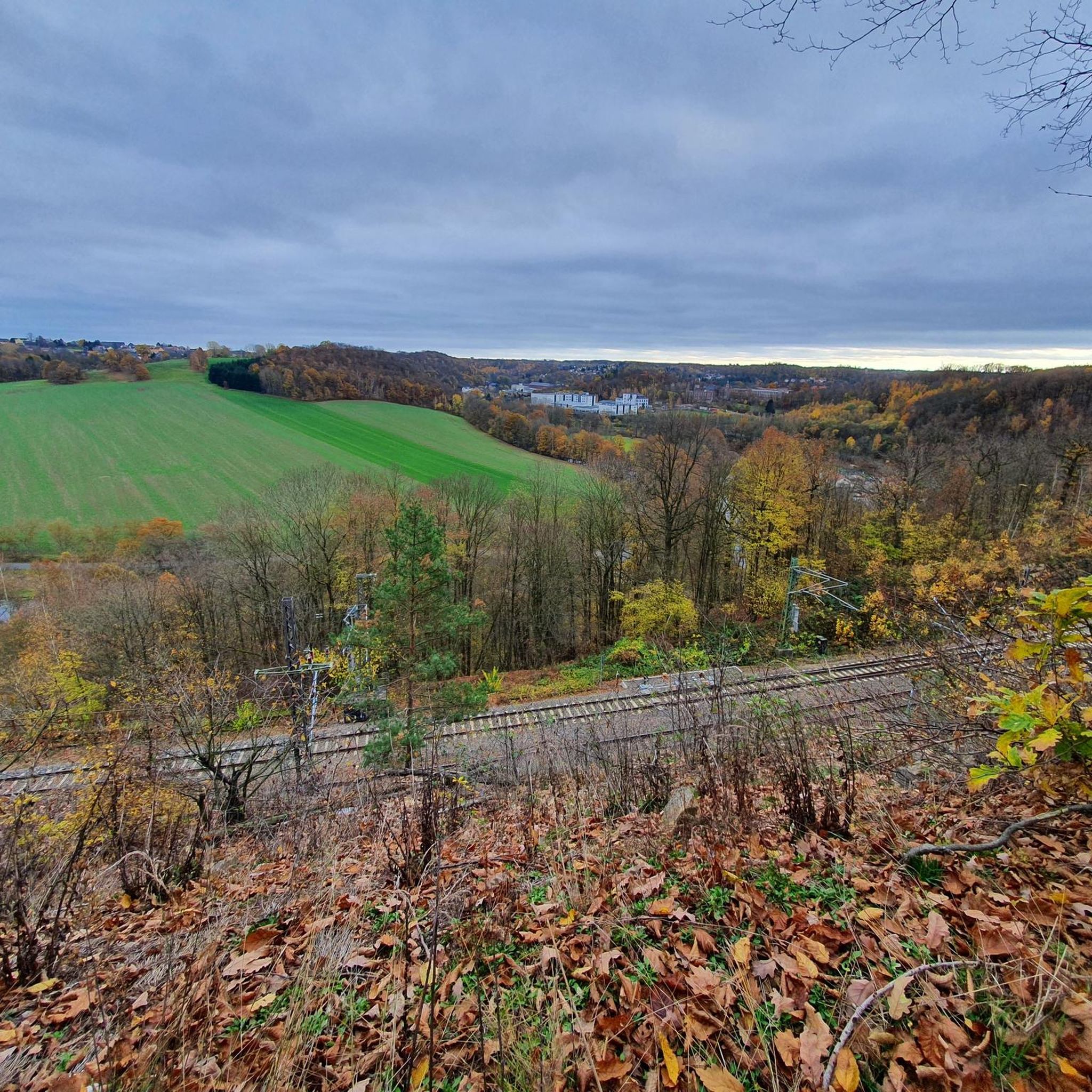
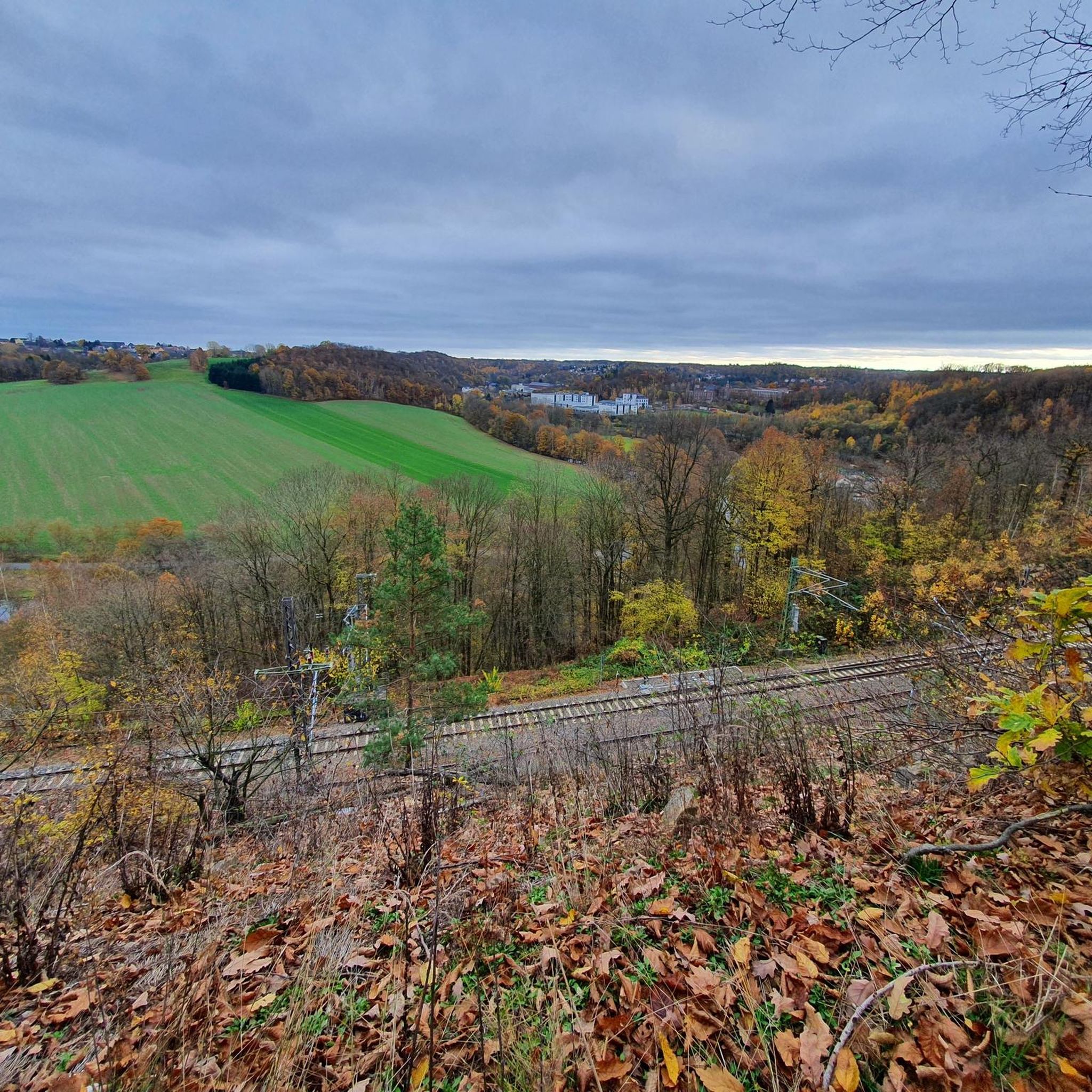
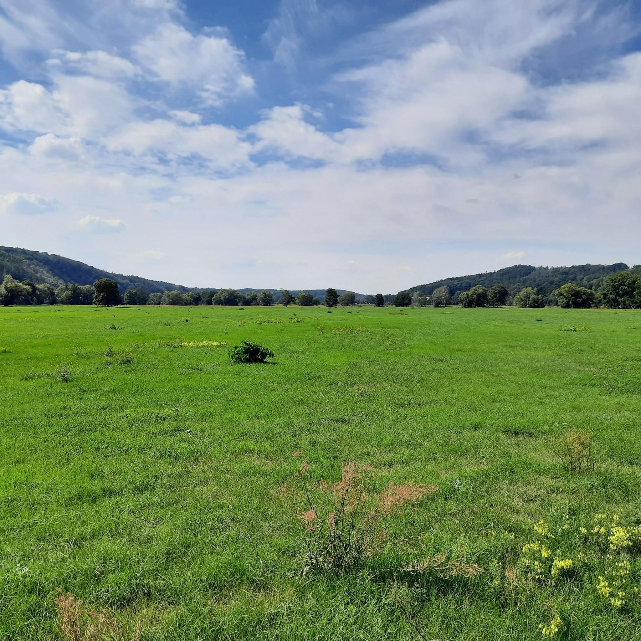
Tips from the Community

Unfortunately, the Biergarten and the bistro are only open on Saturdays (as of: 15.07.2026).
0
0

This view in a street niche is our mandatory photo spot😌.
0
0

On the left is the Limmritz viaduct and on the right is the suspension bridge in Hasennest.
0
0
The Diedenhain Viaduct, at 51 meters, is the tallest of the six viaducts found along this mile. It is particularly impressive because it consists of two superimposed arched bridges.
0
0

Currently (February 21st) there's still a lot of snow and some ice. But finally, some elevation gain!
0
0

The confluence is where the Muldenradweg goes under the railway track.
0
1

The Diedenhain Viaduct is 210 meters long and 51 meters high. It is part of the Limmritz–Waldheim section of the Riesa–Chemnitz railway, also known as the Bankruptcy Mile. The costs of building the six viaducts, retaining walls, and earthworks on a stretch of just 7.5 kilometers caused the private railway company to become insolvent. In 1850, the company was nationalized, and two years later, the line was incorporated into the Niederrhein Railway as part of the Niederrhein Railway.
2
0

The castle sits enthroned on a steep rocky outcrop on the Zschopau River and is considered the most beautiful knight's castle in Saxony.
14
1
Frequently Asked Questions
How many road cycling routes are available around Hartha?
Komoot lists over 20 dedicated road cycling routes around Hartha. The wider region offers an extensive network with a cumulative distance exceeding 1,000 kilometers, catering to various preferences and skill levels.
What kind of terrain can I expect on road cycling routes near Hartha?
The road cycling routes around Hartha are characterized by rolling hills and varied ascents, set within the central Saxon hinterland. You'll encounter river valleys, such as those along the Zschopau and Mulde rivers, and well-maintained roads, including paths with smooth asphalt surfaces.
Are there road cycling routes suitable for beginners or less experienced cyclists?
Yes, Hartha offers several routes suitable for beginners. There are 6 easy-rated routes on komoot, with shorter distances and less elevation gain. These provide a gentle introduction to road cycling in the region.
What are some of the most scenic viewpoints or landmarks to see while road cycling in Hartha?
Many routes offer scenic views and pass by historical landmarks. You can enjoy views of Kriebstein Castle, often considered one of Saxony's most beautiful knight's castles. Other notable historical sites include Rochlitz Castle and Mildenstein Castle. Natural features like the Confluence of the Zwickauer and Freiberger Mulde also offer picturesque stops.
Are there any circular road cycling routes around Hartha?
Yes, many of the road cycling routes around Hartha are designed as loops. For example, the Mulde River at Klosterbuch – Klosterbuch Hydroelectric Power Plant loop from Hartha and the View of Kriebstein Castle – Burgberg Climb (25% Gradient) loop from Schönerstädt are popular circular options, allowing you to start and end at the same point.
What is the best time of year for road cycling in Hartha?
The region around Hartha is generally best for road cycling during the warmer months, typically from spring through early autumn. During this time, the weather is more favorable, and the natural scenery is at its most vibrant. The smooth asphalt paths are enjoyable in good conditions.
What do other road cyclists enjoy most about the routes in Hartha?
The road cycling routes in Hartha are highly rated by the komoot community, with an average score of 4.4 stars from over 90 reviews. Cyclists often praise the varied terrain, which includes rolling hills and river valleys, as well as the well-maintained roads and the engaging environment that combines natural scenery with historical landmarks.
Are there any challenging road cycling routes for experienced riders?
Yes, Hartha offers routes with significant elevation gain and challenging sections. For instance, the View of Kriebstein Castle – Burgberg Climb (25% Gradient) loop from Schönerstädt includes notable ascents, providing a good test for experienced road cyclists. The varied ascents throughout the central Saxon hinterland offer opportunities for training and experiencing different terrains.
Can I combine road cycling with other activities, like visiting attractions?
Absolutely. The region's rich history and natural beauty make it ideal for combining cycling with sightseeing. You can plan your rides to include stops at Kriebstein Castle or Rochlitz Castle. The Kriebstein Reservoir also offers boat trips, providing a unique way to explore the area from the water.
Are there any routes that follow rivers or water bodies?
Yes, several routes incorporate river valleys. The Mulde River at Klosterbuch – Klosterbuch Hydroelectric Power Plant loop from Hartha and the Klosterbuch Hydroelectric Power Plant – Mulde River at Klosterbuch loop from Hartha both follow the Mulde River, offering scenic views along the water. The region also features the Zschopau River and the Kriebstein Reservoir.
What are the typical distances and durations for road cycling routes in Hartha?
Routes vary significantly in length and duration. Easy routes can be around 23 kilometers, taking approximately 1.5 hours. Moderate routes, like the Mulde River at Klosterbuch – Klosterbuch Hydroelectric Power Plant loop from Hartha, are typically around 38 kilometers and can take nearly 2 hours. Longer routes can extend up to 78 kilometers with significant elevation gain.
Is there good road surface quality for cycling in the Hartha region?
Yes, the region is known for its well-maintained roads. The 'Hartha–Leisnig Cycle Path,' for example, is specifically praised for its 'perfect' and 'smooth fast asphalt' surface, making for an enjoyable road cycling experience across the central Saxon hinterland.
Most popular routes around Hartha
Most popular attractions around Hartha

Get inspired with the komoot mobile app


Explore more
Browse the best Road cycling routes in other regions.
