The best cycling routes in San Martín Sacatepéquez
5.0
(3)
96
riders
18
rides
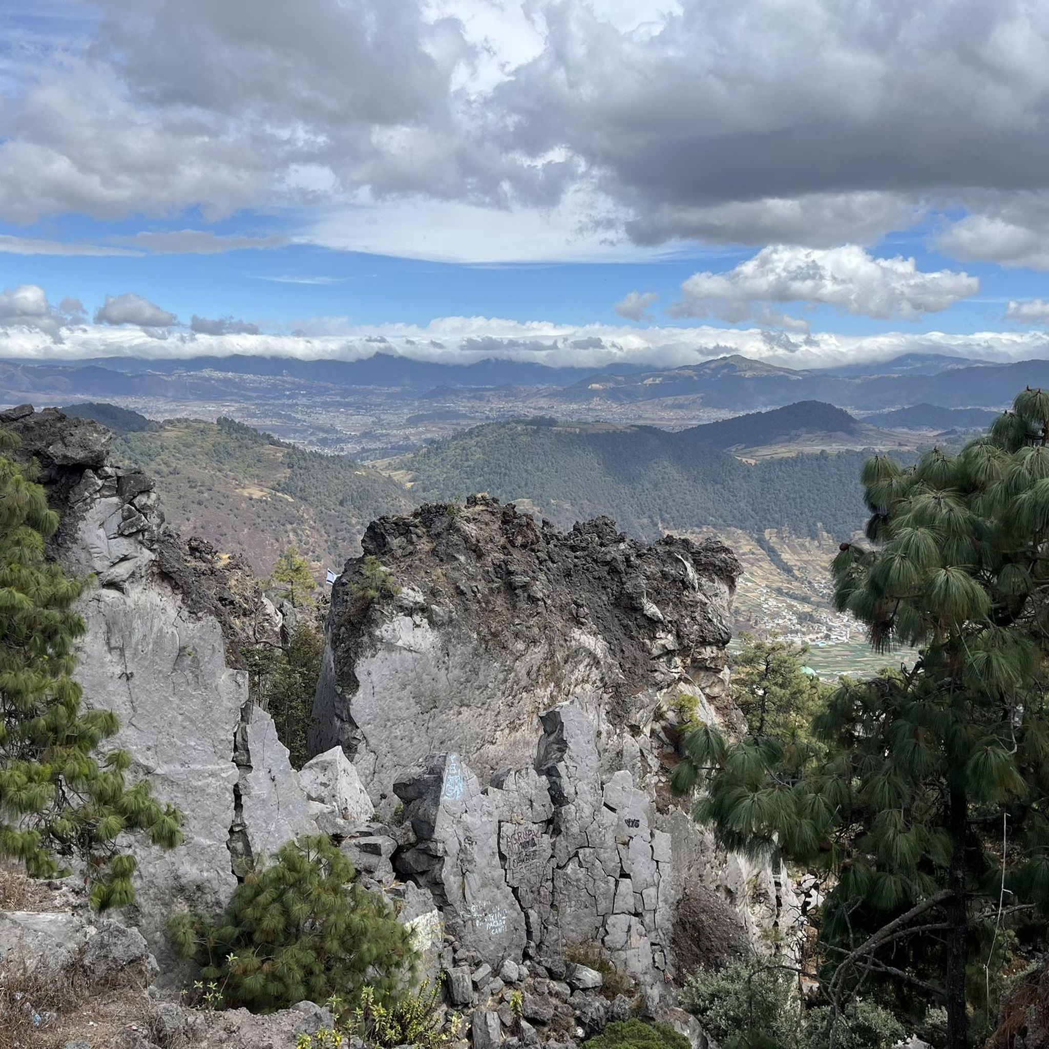
Touring cycling in San Martín Sacatepéquez is characterized by dramatic volcanic landscapes and challenging mountainous terrain. The region features diverse elevations, ranging from 300 meters to the 3,370-meter Siete Orejas Volcano, San Martín's highest point. Cyclists encounter varied topography, including steep-sided valleys, agricultural lands, and forest-capped mountains. The area transitions from the elevated Altiplano to the warmer Boca Costa, providing a consistent high-altitude cycling experience.
Best touring cycling routes in San Martín Sacatepéquez
- The most popular touring cycling route is…
Last updated: July 5, 2026
17
riders
14.4km
01:15
370m
370m
Moderate bike ride. Good fitness required. Mostly paved surfaces. Suitable for all skill levels.
5.0
(1)
9
riders
33.7km
02:21
420m
420m
Moderate bike ride. Good fitness required. Mostly paved surfaces. Suitable for all skill levels.

Sign up for free
6
riders
29.4km
02:34
860m
860m
Hard bike ride. Very good fitness required. Mostly paved surfaces. Suitable for all skill levels.
5
riders
15.0km
01:19
390m
390m
Moderate bike ride. Good fitness required. Mostly paved surfaces. Suitable for all skill levels.
8
riders
24.2km
02:05
620m
620m
Hard bike ride. Very good fitness required. Mostly paved surfaces. Suitable for all skill levels.
4
riders
13.9km
01:31
570m
570m
Hard bike ride. Very good fitness required. Mostly paved surfaces. Suitable for all skill levels.
Get access to more routes and recommendations from other explorers.
Sign up for free
Already have an account?
Our route recommendations are based on thousands of hikes, rides, and runs completed by other people on komoot.
Start today with a free account
Your next adventure awaits.
Login or Signup
Popular around San Martín Sacatepéquez


Tips from the Community


Frequently Asked Questions
How many touring cycling routes are available in San Martín Sacatepéquez?
There are over 20 touring cycling routes documented in San Martín Sacatepéquez, offering a variety of experiences for cyclists.
What is the typical terrain like for touring cycling in San Martín Sacatepéquez?
The terrain is predominantly mountainous and volcanic, characterized by significant ascents and descents. You'll experience high-altitude cycling, with the town center itself at 2,450 meters (8,040 ft) above sea level. The landscape transitions from colder altiplano to warmer piedmont areas, providing diverse environments.
What natural attractions can I expect to see while cycling in San Martín Sacatepéquez?
Cyclists can enjoy dramatic volcanic landscapes, including views of the imposing Siete Orejas Volcano and Volcán Chicabal. A prominent natural attraction is Laguna Chicabal, a sacred crater lake nestled within Volcán Chicabal, offering stunning views and a serene atmosphere. The region also boasts lush scenery with forest-capped mountains.
Are there routes suitable for different skill levels?
Yes, the routes in San Martín Sacatepéquez cater to various skill levels. While many are classified as difficult due to substantial elevation gains, there are also moderate options available. For instance, the In Case I Get Lost loop from Centro Histórico is a moderate route, offering a good introduction to the local terrain.
What should I consider regarding the elevation when planning a touring cycling trip here?
San Martín Sacatepéquez is situated in the Western Highlands, meaning you'll be cycling at high altitudes. The town center itself is at 2,450 meters (8,040 ft) above sea level, and routes can involve significant climbs, such as those leading towards the Siete Orejas Volcano. Be prepared for challenging ascents and descents, and consider acclimatization if you are not used to high-altitude cycling.
Are there any circular touring cycling routes available?
Yes, many touring cycling routes in the region are designed as loops. Examples include the popular In Case I Get Lost loop from Centro Histórico, the challenging In Case I Get Lost loop from Quetzaltenango, and the scenic Viewpoint at the White Cross loop from Quetzaltenango.
What is the best time of year to go touring cycling in San Martín Sacatepéquez?
While specific weather data by month is not detailed in this guide, the region's high-altitude climate means temperatures can vary. Generally, the dry season (typically November to April) offers more stable weather conditions for cycling, with less chance of rain. However, even during the dry season, be prepared for cooler temperatures at higher elevations and potential cloud cover.
Are there any specific routes that offer particularly challenging climbs?
Absolutely. The region is known for its challenging climbs. Routes like the Bike loop from Seminario San Jose, with over 860 meters of elevation gain, and the Molino El Quetzal – In Case I Get Lost loop from Quetzaltenango, featuring over 1,100 meters of ascent, are excellent choices for experienced cyclists seeking a rigorous workout.
What do other cyclists say about touring cycling in San Martín Sacatepéquez?
The touring cycling routes in San Martín Sacatepéquez are highly rated by the komoot community, with an average score of 5.0 stars from over 5 reviews. Cyclists often praise the dramatic volcanic landscapes, the challenging yet rewarding climbs, and the unique cultural immersion offered by the region.
Is it possible to combine cycling with exploring local culture?
Yes, San Martín Sacatepéquez is predominantly inhabited by Indigenous peoples of Mam descent, offering a rich cultural experience. Cycling through the villages allows for authentic encounters with local life, where traditional garb (*traje*) is still widely worn. You might also encounter local markets and artisan workshops, adding a profound cultural dimension to your ride.
What are the average lengths of touring cycling routes in the region?
The routes vary significantly in length. You can find shorter moderate loops around 14-15 km, such as the Bike loop from La Esperanza. Longer, more challenging routes can extend to over 50 km, like the Molino El Quetzal – In Case I Get Lost loop from Quetzaltenango.
Are there any easy touring cycling routes for beginners?
While many routes feature significant elevation changes, some are classified as moderate and can be suitable for beginners with a reasonable level of fitness. For example, the Viewpoint at the White Cross loop from Quetzaltenango is a moderate 32.8 km trail that offers varied landscapes without extreme difficulty.
How can I find parking or public transport options for accessing the cycling routes?
Specific parking areas or public transport access points for each route are not detailed in this guide. However, given the region's cultural context, local transport options like chicken buses or shared taxis might be available between towns. For parking, look for designated areas in larger towns like Quetzaltenango or near major trailheads, though facilities may be basic.
Most popular routes in San Martín Sacatepéquez

Get inspired with the komoot mobile app


Explore more
Browse the best Cycling routes in other regions.
