The best road cycling routes in San Martín Sacatepéquez
5.0
(20)
53
riders
7
rides
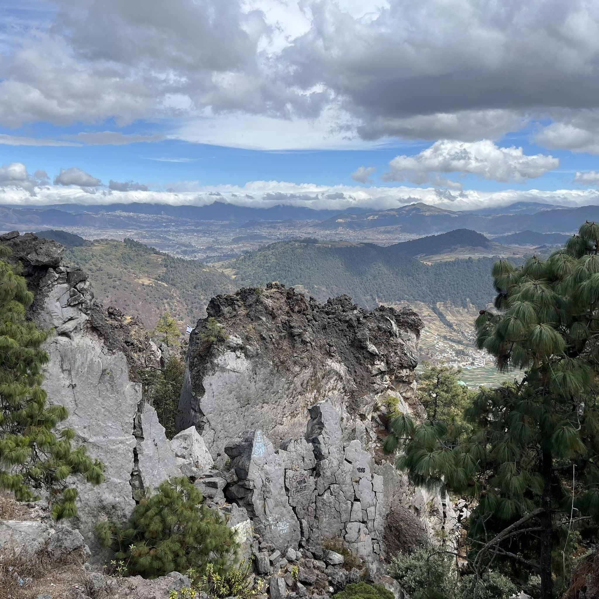
Road cycling in San Martín Sacatepéquez offers challenging routes through dramatic volcanic landscapes and high elevations in the Western Highlands of Guatemala. The terrain features steep-sided valleys, agricultural farms, and forest-capped mountains, providing significant elevation changes for cyclists. Situated at over 2,335 meters, the region's topography includes prominent volcanoes such as Volcán Chicabál and Volcán Siete Orejas. These natural features contribute to a demanding yet rewarding cycling environment.
Best road cycling routes in San Martín Sacatepéquez
- The most popular road…
Last updated: July 18, 2026
5.0
(7)
15
riders
51.6km
02:51
910m
910m
Hard road ride. Very good fitness required. Mostly well-paved surfaces and easy to ride.
5.0
(4)
12
riders
116km
06:52
2,540m
2,540m
Hard road ride. Very good fitness required. Some segments of this route may be unpaved and difficult to ride.

Sign up for free
3
riders
31.5km
01:48
600m
600m
Moderate road ride. Good fitness required. Mostly well-paved surfaces and easy to ride.
5.0
(1)
3
riders
61.4km
03:20
970m
970m
Hard road ride. Very good fitness required. Mostly well-paved surfaces and easy to ride.
5.0
(2)
3
riders
22.8km
01:12
330m
330m
Moderate road ride. Good fitness required. Mostly well-paved surfaces and easy to ride.
Get access to more routes and recommendations from other explorers.
Sign up for free
Already have an account?
Our route recommendations are based on thousands of hikes, rides, and runs completed by other people on komoot.
Start today with a free account
Your next adventure awaits.
Login or Signup
Popular around San Martín Sacatepéquez


Frequently Asked Questions
How many road cycling routes are available in San Martín Sacatepéquez?
There are 7 road cycling routes available in San Martín Sacatepéquez on komoot, offering a range of experiences from moderate to difficult.
What kind of terrain can I expect when road cycling in San Martín Sacatepéquez?
The region is characterized by dramatic volcanic landscapes, high elevations, and steep-sided valleys. You'll encounter challenging climbs and thrilling descents through agricultural farms and forest-capped mountains, providing a diverse and demanding environment for cyclists.
Are there road cycling routes for different skill levels?
Yes, San Martín Sacatepéquez offers routes for various abilities. You can find 2 easy routes, 2 moderate routes, and 3 difficult routes, ensuring options for different fitness levels and preferences.
What are some challenging road cycling routes in the region?
For experienced cyclists seeking a challenge, the Rudolf Walther Viewpoint – Mirador El Carmen loop from Quetzaltenango is a difficult 71.9-mile (115.7 km) path with extensive views and significant climbs. Another demanding option is the Rudolf Walther Viewpoint loop from Quetzaltenango, a 32.0-mile (51.5 km) route featuring substantial elevation gains across volcanic terrain.
Are there any moderate road cycling options in San Martín Sacatepéquez?
Yes, for a moderate challenge, consider the Cerro La pedrera loop from Quetzaltenango. This 19.6-mile (31.5 km) trail leads through scenic valleys and farmlands, typically completed in about 1 hour 48 minutes.
What natural features or landmarks can I see along road cycling routes in San Martín Sacatepéquez?
Road cycling routes often pass through scenic valleys and farmlands with views of prominent volcanoes like Volcán Chicabál, Volcán Siete Orejas, and Volcán Santa Maria. While not directly on cycling routes, the sacred Laguna Chicabal, a crater lake, is a notable natural feature in the wider area, offering breathtaking views.
When is the best time of year to go road cycling in San Martín Sacatepéquez?
Given the high elevation of over 2,335 meters, the region generally offers cooler temperatures compared to lower areas. This makes it suitable for cycling for much of the year, though specific weather patterns should be checked closer to your visit. The high altitude can be demanding, so prepare accordingly.
Is San Martín Sacatepéquez suitable for family-friendly road cycling?
While the region is known for its challenging volcanic terrain and significant elevation changes, there are 2 routes classified as 'easy' which might be more suitable for families or those seeking a less strenuous ride. Always check the route details for distance and elevation before heading out.
Are there any loop road cycling routes in San Martín Sacatepéquez?
Many of the routes in the area are designed as loops, allowing you to start and end in the same location. Examples include the Rudolf Walther Viewpoint loop from Quetzaltenango and the Cerro La pedrera loop from Quetzaltenango.
What do other road cyclists say about the routes in San Martín Sacatepéquez?
The road cycling routes in San Martín Sacatepéquez are highly rated by the komoot community, with an average score of 5.0 stars from over 20 reviews. Cyclists often praise the challenging climbs, extensive views, and the unique experience of riding through the region's dramatic volcanic landscape.
What is the typical elevation gain on road cycling routes here?
Due to the region's high elevation, with the town itself at over 2,335 meters and surrounding volcanoes reaching higher, you can expect significant elevation gains. For instance, the Rudolf Walther Viewpoint – Mirador El Carmen loop involves over 2,500 meters of ascent.
Can I find routes that offer scenic viewpoints?
Yes, several routes are named after or pass by viewpoints. The Mirador El Carmen – Rudolf Walther Viewpoint loop from Quetzaltenango is a great example, offering stunning vistas of the surrounding volcanic terrain and valleys.
Most popular routes in San Martín Sacatepéquez

Get inspired with the komoot mobile app


Explore more
Browse the best Road cycling routes in other regions.
