The best road cycling routes in Alajuelita
4.7
(75)
2,897
riders
47
rides
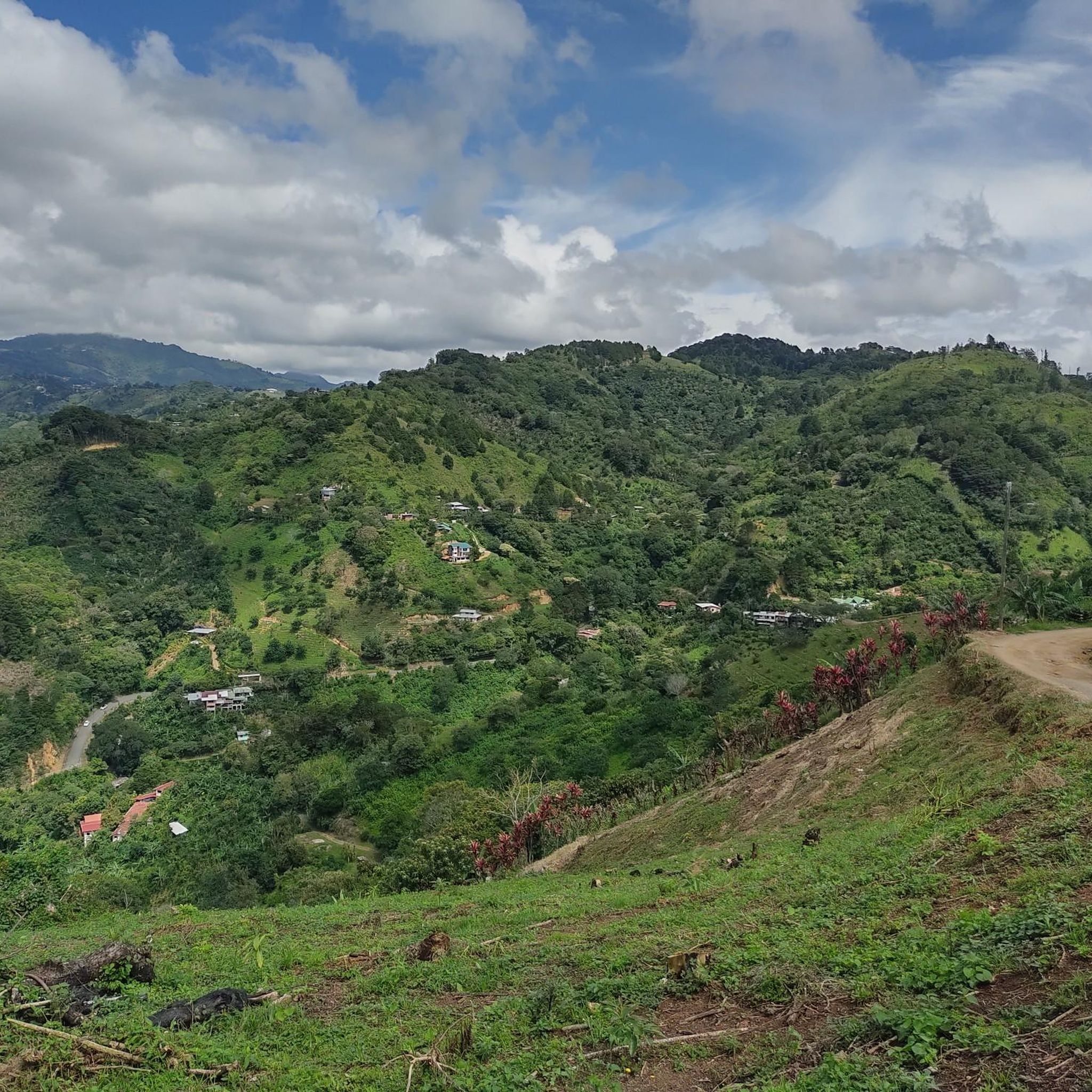
Road cycling routes in Alajuelita are situated in a mountain town within Costa Rica's San José province, offering an elevated location for cyclists. The region is characterized by its mountainous terrain, providing challenging climbs and varied elevation profiles. Alajuelita's setting between the Talamanca mountain range and northern volcanoes contributes to its distinct landscape, with routes often featuring significant elevation gains.
Best road cycling routes in Alajuelita
- The most popular road cycling route is Santa Ana Park Sports Complex – Large…
Last updated: July 5, 2026
4.6
(5)
166
riders
Moderate road ride. Good fitness required. Mostly well-paved surfaces and easy to ride.
4.0
(2)
84
riders
Moderate road ride. Good fitness required. Mostly well-paved surfaces and easy to ride.

Sign up for free
86
riders
Moderate road ride. Good fitness required. Mostly well-paved surfaces and easy to ride.
39
riders
96.2km
05:59
2,240m
2,240m
Hard road ride. Very good fitness required. Some segments of this route may be unpaved and difficult to ride.
3.0
(1)
33
riders
Moderate road ride. Good fitness required. Mostly well-paved surfaces and easy to ride.
13
riders
Moderate road ride. Good fitness required. Mostly well-paved surfaces and easy to ride.
14
riders
31.1km
01:32
330m
330m
Moderate road ride. Good fitness required. Mostly well-paved surfaces and easy to ride.
6
riders
18.8km
01:05
260m
260m
Easy road ride. Great for any fitness level. Mostly well-paved surfaces and easy to ride.
7
riders
19.8km
01:00
290m
290m
Easy road ride. Great for any fitness level. Mostly well-paved surfaces and easy to ride.
5
riders
17.5km
01:00
370m
370m
Moderate road ride. Good fitness required. Mostly well-paved surfaces and easy to ride.
Get access to more routes and recommendations from other explorers.
Sign up for free
Already have an account?
Our route recommendations are based on thousands of hikes, rides, and runs completed by other people on komoot.
Start today with a free account
Your next adventure awaits.
Login or Signup
Tips from the Community

The National Theater of Costa Rica is the cultural heart of San José. This magnificent 19th-century building impresses with its neoclassical architecture, marble, frescoes, and gold decorations. Today, it hosts concerts, operas, and guided tours, making it a perfect place for a brief stop in the city. Centrally located, it's a popular meeting point for travelers, locals, and culture enthusiasts alike.
0
0


Anyone who goes to Coro and doesn't take a photo of the church didn't go to Coro 🤣
0
0
Tourist site, with no easier access.
1
0

The National Museum was founded in 1887. The building is the former "Bellavista Barracks". It displays collections on national history, archaeology and biodiversity in various permanent and temporary exhibitions. The butterfly house is particularly recommended.
1
0

Only one way, north-south direction
0
0
Frequently Asked Questions
What kind of terrain can I expect on road cycling routes in Alajuelita?
Alajuelita is a mountain town, so you can expect a mountainous setting with significant elevation gains and challenging climbs. The routes offer varied terrain, from moderate paths to difficult ascents, providing a diverse experience for road cyclists.
How many road cycling routes are available in Alajuelita?
There are over 50 road cycling routes documented in Alajuelita, catering to various skill levels. This includes 3 easy routes, 24 moderate routes, and 23 difficult routes, ensuring options for every cyclist.
Are there any particularly challenging road cycling routes in the area?
Yes, Alajuelita is known for its challenging climbs. For instance, the Copatchi – View of Irazú Volcano loop from Cuba is a difficult route spanning nearly 98 km with over 2250 meters of elevation gain. Another demanding option is the Cristo de Sabanilla – Cabra Negra Espresso Bar loop from Contraloría, which covers over 51 km with more than 920 meters of ascent.
What are the best times of year to go road cycling in Alajuelita?
The region offers favorable conditions for cycling year-round. The dry season, from December to April, sees consistent temperatures up to 30 degrees Celsius. During the rainy season, from May to November, mornings are typically sunny, making it still suitable for rides before afternoon showers.
What landmarks or scenic viewpoints can I find along the road cycling routes?
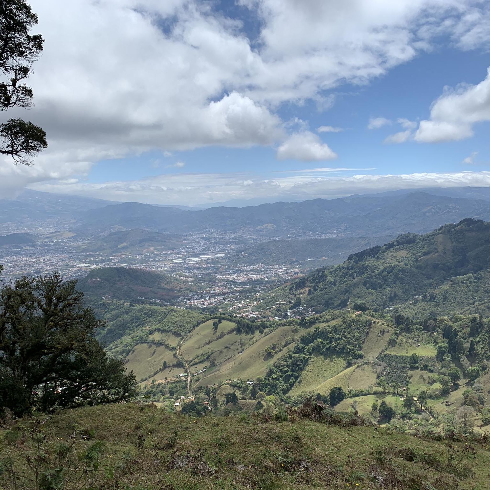
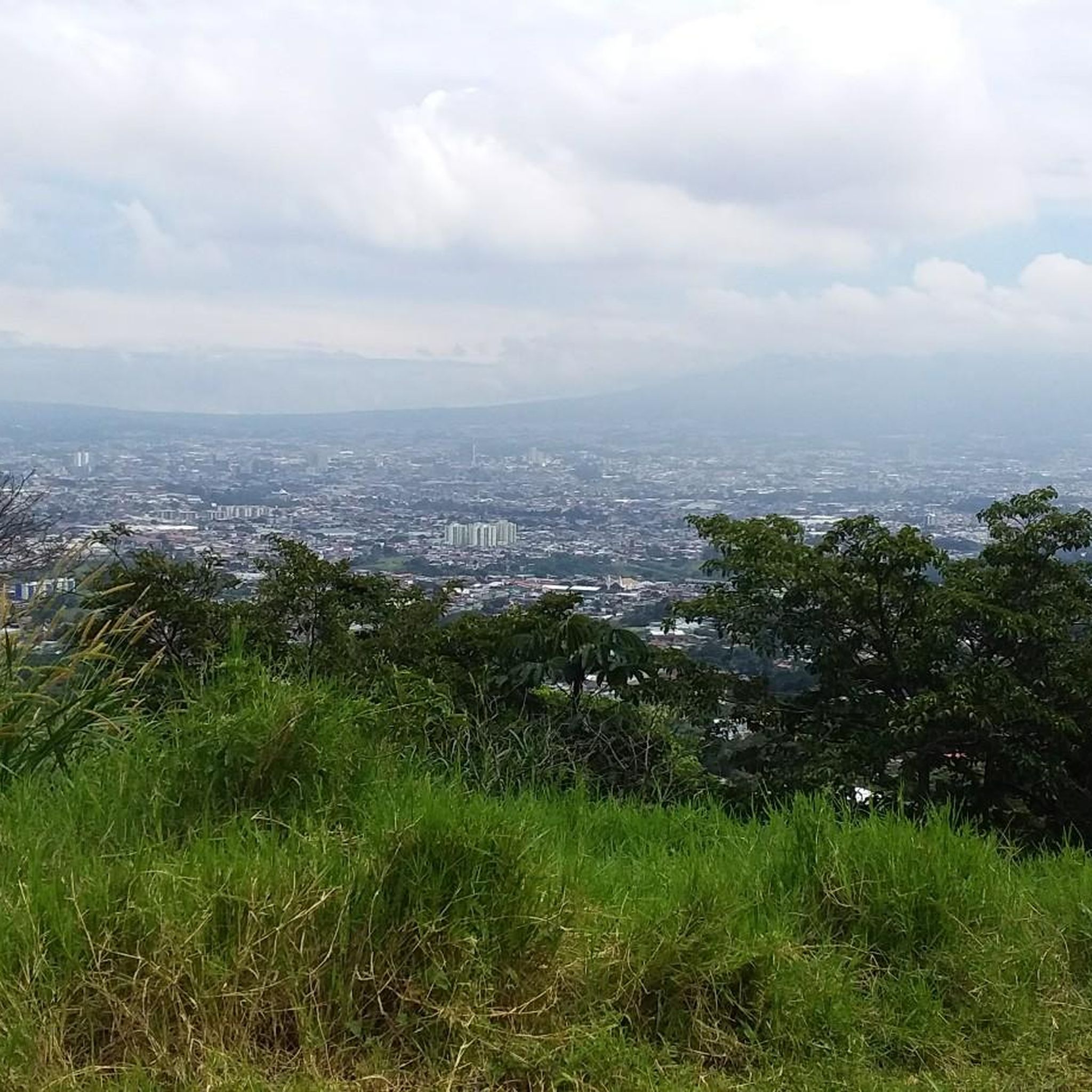
The mountainous setting of Alajuelita provides numerous scenic viewpoints. A prominent landmark is Cerro San Miguel, part of the Cerros de Escazú, which offers panoramic views of the Central Valley, including San José. At its summit stands the 'Cruz de Alajuelita,' a significant and visible landmark.
What do other road cyclists say about the routes in Alajuelita?
The road cycling routes in Alajuelita are highly rated by the komoot community, with an average score of 4.7 stars from over 70 reviews. Cyclists often praise the challenging climbs, varied terrain, and breathtaking scenery that define the region's cycling experience.
Are there any moderate-difficulty loop routes suitable for a good workout?
Absolutely. The Santa Ana Park Sports Complex – Large Tree in Residential Area loop from Pacífico is a popular moderate route, covering about 51 km with over 820 meters of elevation gain. Another excellent choice is the Cabra Negra Espresso Bar – El Fortín loop from Damas, a moderate 46 km ride with over 530 meters of ascent.
Can I find shorter road cycling routes in Alajuelita?
Yes, there are shorter options available. The Santa Ana Park Sports Complex – Large Tree in Residential Area loop from La Salle is a moderate 28.8 km path, offering a good workout without committing to a very long ride. Another option is the Cabra Negra Espresso Bar loop from La Corte, which is about 29 km long.
Are there any road cycling routes that offer views of volcanoes?
While Alajuelita itself is nestled between the Talamanca mountain range and northern volcanoes, some routes provide distant views. The Copatchi – View of Irazú Volcano loop from Cuba is specifically named for its potential views of the Irazú Volcano, offering a unique scenic element to a challenging ride.
What is the typical duration for a road cycling route in Alajuelita?
Route durations vary significantly based on distance and difficulty. Shorter, moderate routes like the Cabra Negra Espresso Bar loop from Cuba (29 km) can take around 1 hour 25 minutes. Longer, more difficult routes, such as the El Fortín – Santa Ana Park Sports Complex loop from Plaza Cleto González Víquez (61 km), may require over 3 hours.
Are there any specific considerations for road cycling in Costa Rica's mountainous regions like Alajuelita?
Road cycling in Costa Rica's mountainous areas is known for challenging climbs and varied terrain. Cyclists should be prepared for significant elevation gains and ensure they have very good fitness. While many surfaces are paved, some segments might include unpaved or more difficult sections. Always check route details for specific conditions.

Get inspired with the komoot mobile app


Didn’t find what you were looking for?
Check out more Road cycling routes throughout Alajuelita below and find the perfect route in your destination.
Explore more
Browse the best Road cycling routes in other regions.
