The best MTB trails in Nandayure
4.3
(8)
93
riders
22
rides
Mountain biking in Nandayure offers diverse terrain across the Guanacaste region. The landscape features a mix of coastal areas with views of the Pacific, river valleys, and inland hills, providing varied elevation changes for mountain bike trails. Riders can expect routes that traverse through tropical vegetation and offer glimpses of the local environment. The region's topography includes both moderate climbs and longer, more challenging ascents.
Best mountain bike trails in Nandayure
- The most popular mountain bike trail is River Crossing…
Last updated: July 3, 2026
1.0
(1)
15
riders
34.9km
02:12
340m
340m
Moderate mountain bike ride. Good fitness required. Advanced riding skills necessary.
5
riders
27.7km
01:52
480m
480m
Moderate mountain bike ride. Good fitness required. Suitable for all skill levels.

Sign up for free
10
riders
116km
07:14
1,410m
1,410m
Hard mountain bike ride. Very good fitness required. Suitable for all skill levels.
10
riders
58.5km
03:48
910m
910m
Hard mountain bike ride. Very good fitness required. Suitable for all skill levels.
9
riders
57.1km
03:51
980m
980m
Hard mountain bike ride. Very good fitness required. Suitable for all skill levels.
5.0
(1)
9
riders
38.3km
02:30
580m
580m
Moderate mountain bike ride. Good fitness required. Suitable for all skill levels.
5.0
(1)
5
riders
23.5km
01:57
350m
350m
Moderate mountain bike ride. Good fitness required. Suitable for all skill levels.
5.0
(1)
4
riders
47.5km
03:12
490m
490m
Moderate mountain bike ride. Good fitness required. Suitable for all skill levels.
5.0
(1)
4
riders
50.5km
03:24
500m
500m
Moderate mountain bike ride. Good fitness required. Suitable for all skill levels.
5.0
(3)
6
riders
28.4km
02:05
360m
360m
Moderate mountain bike ride. Good fitness required. Suitable for all skill levels.
Get access to more routes and recommendations from other explorers.
Sign up for free
Already have an account?
Our route recommendations are based on thousands of hikes, rides, and runs completed by other people on komoot.
Start today with a free account
Your next adventure awaits.
Login or Signup


Tips from the Community

Hello Pascal, many thanks for your useful highlight. It inspired me to ride my tour this way. I have added some photos of myself.
0
0

Highly recommended, supermarket, grocery stores and restaurants along the route
0
0

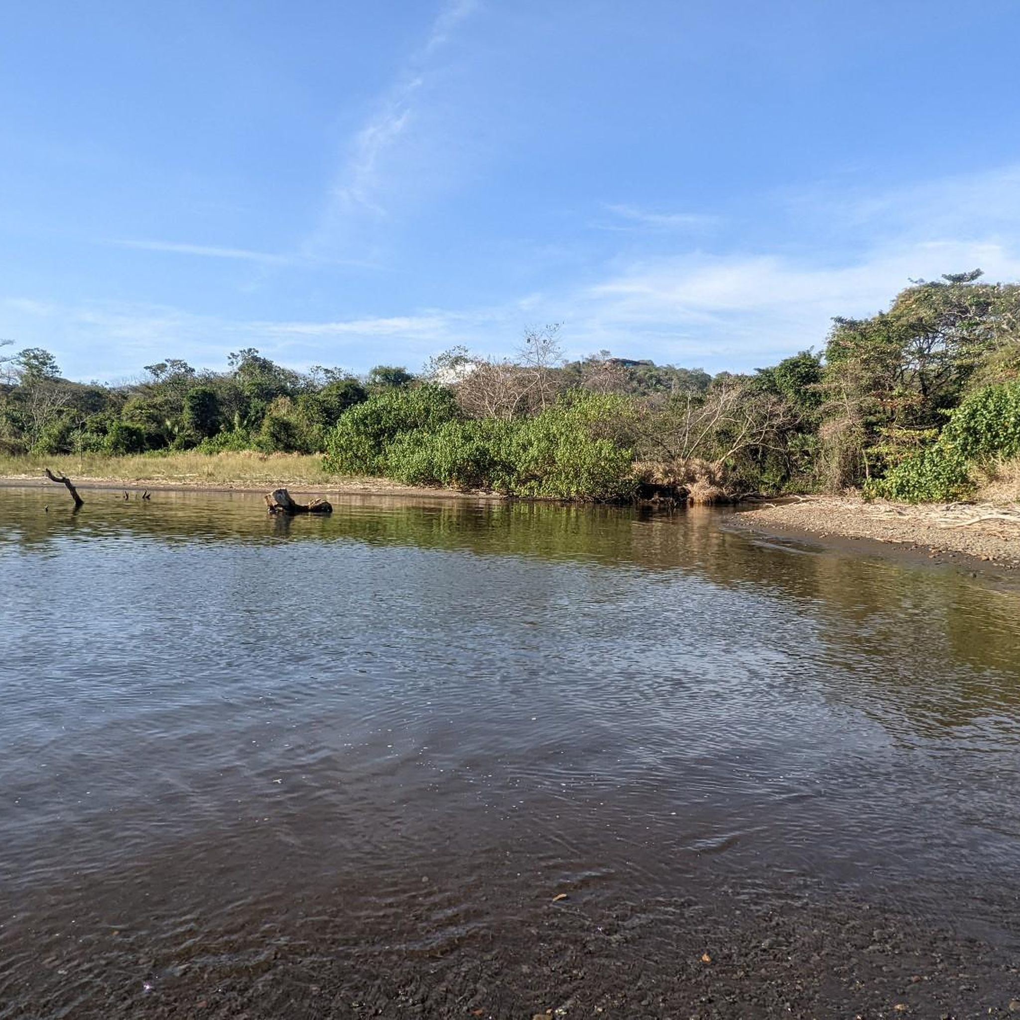
Nice passage over the river, I crossed in rainy season (June)
0
0


Crocodiles in the lagoon behind the beach. So don't bathe.
0
0

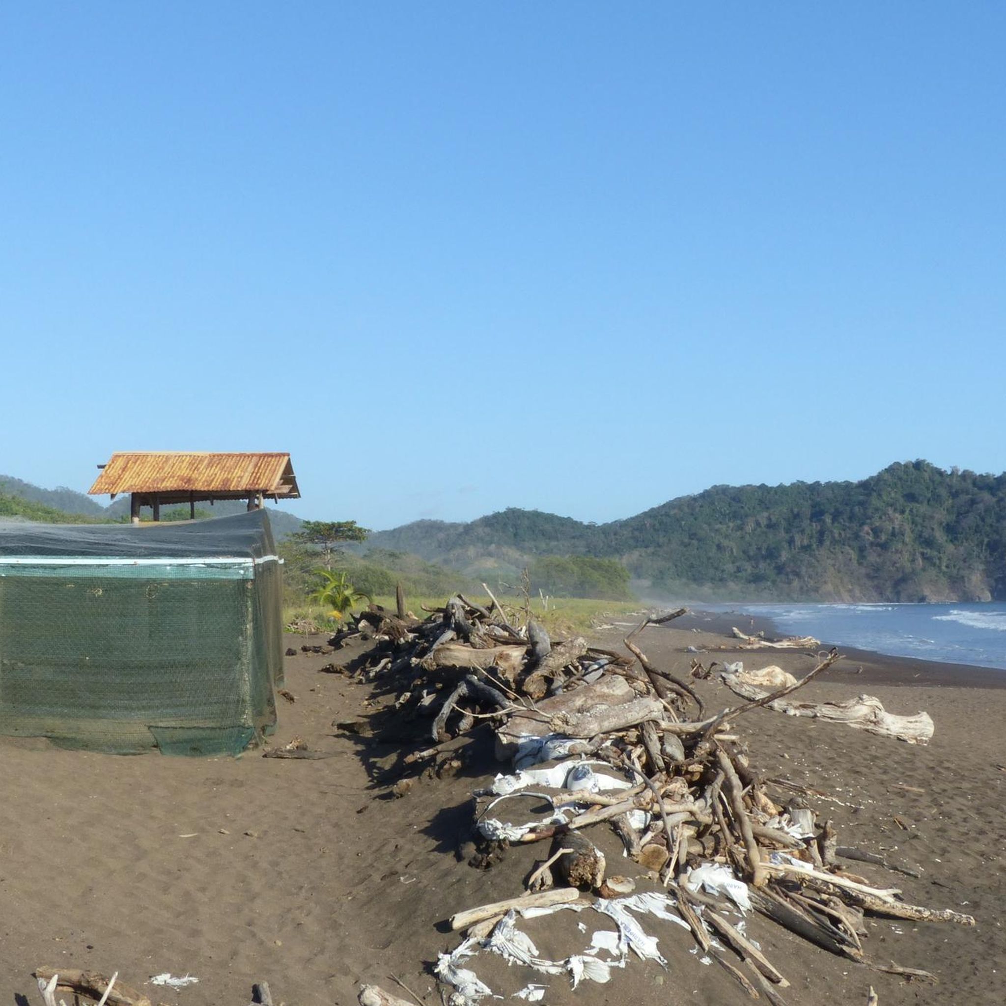
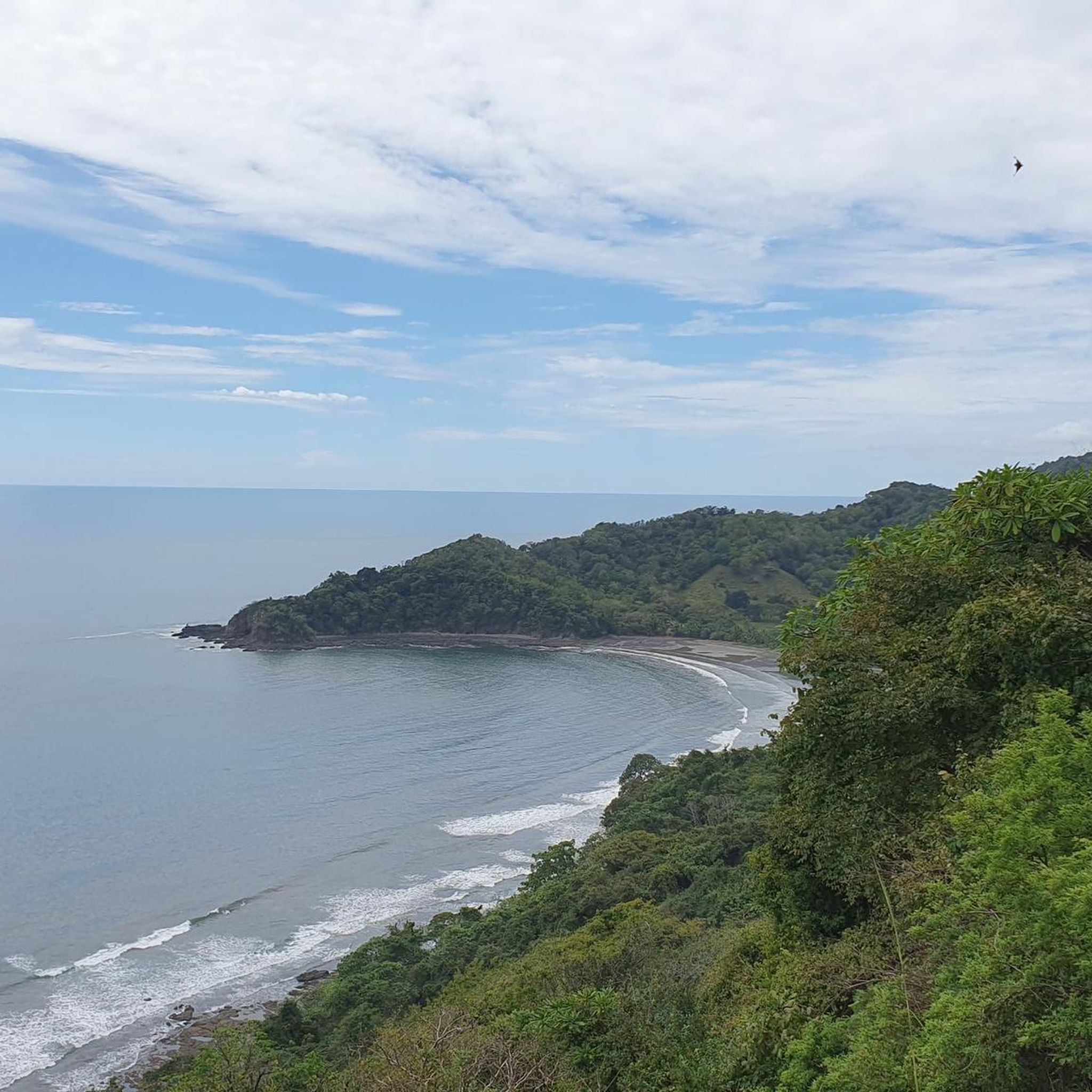
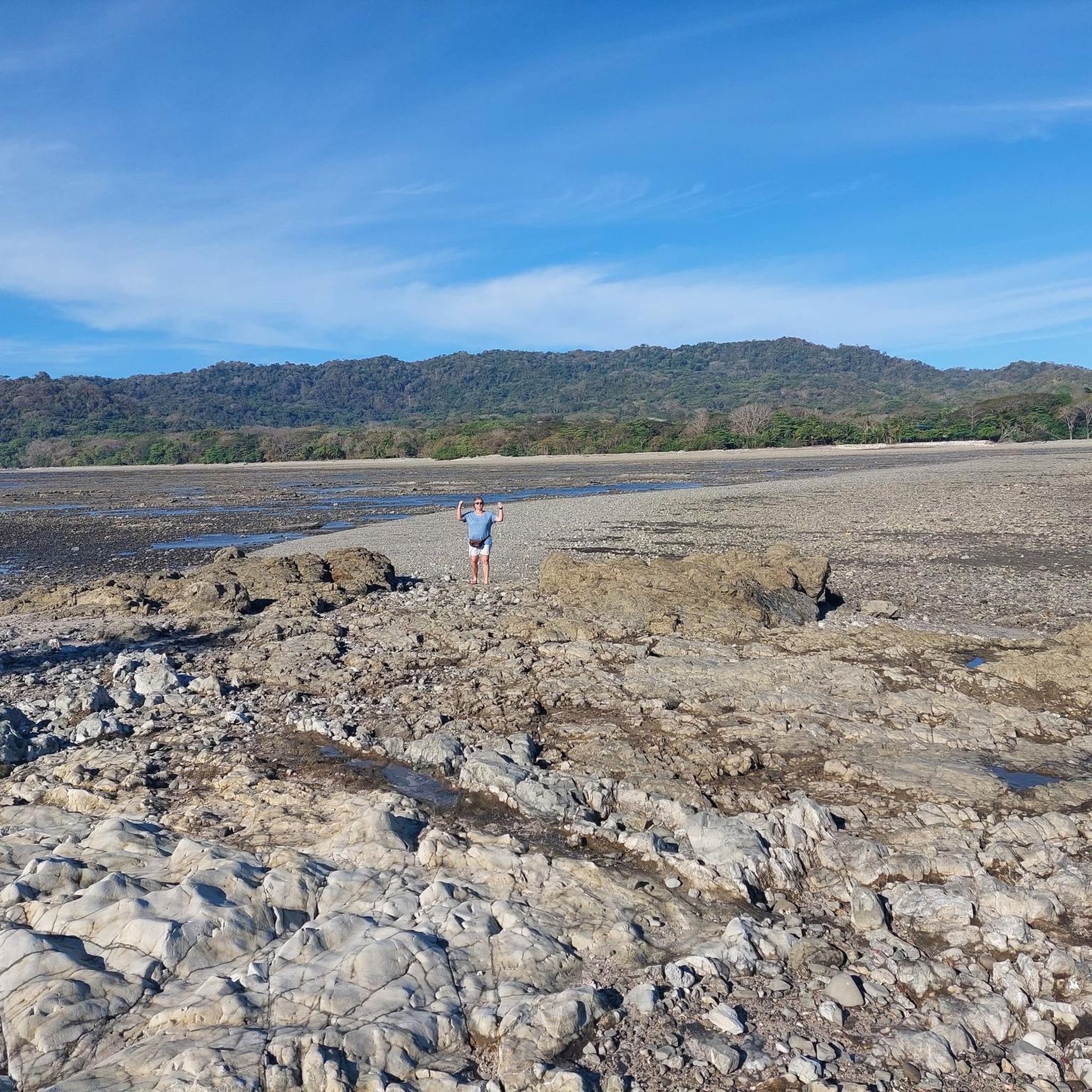
Wild crescent bay. No sandy beach at high tide.
0
0

Beautiful sightseeing point after the climbing from Islita to San Miguel
0
0

This is the way down to Rio Negro. The road is mostly gravel, but depending on the time of the year, it can have a lot of bumps and holes (which is great for mountain biking). ;)
0
0
Frequently Asked Questions
What is the overall difficulty level of mountain bike trails in Nandayure?
Nandayure offers a range of mountain bike trails, primarily catering to moderate and difficult skill levels. There are 17 moderate routes and 5 difficult routes available, with no easy trails listed. Riders can expect varied terrain, including coastal paths, river crossings, and hilly inland sections with both moderate climbs and challenging ascents.
Are there any mountain bike trails suitable for beginners in Nandayure?
Currently, the komoot guide for Nandayure does not list any trails specifically graded as 'easy'. The available routes are categorized as moderate or difficult, suggesting they require a certain level of experience and fitness. If you are a beginner, it's advisable to choose a shorter moderate route and assess your comfort level.
What is the typical length of mountain bike trails in Nandayure?
Trail lengths in Nandayure vary significantly. You can find routes like the River Crossing – Playa Barco Quebrado loop from Puerto Carrillo, which is around 22.0 miles (35.5 km), taking about 2 hours 15 minutes. Longer, more challenging options exist, such as the La Trocha – Playa San Miguel loop from Jicaral, spanning 72.3 miles (116.4 km) and typically requiring over 7 hours to complete.
Are there mountain bike trails with viewpoints in Nandayure?
Yes, several mountain bike routes in Nandayure offer scenic viewpoints. For example, the Pico Verde Real – Mirador de Carrillo loop from Río Islita provides excellent views overlooking the Carrillo area. Other routes like the View of Manzanillo – Descent to Río Negro loop from Ylang Ylang Lodge also feature notable vistas.
What is the best time of year for mountain biking in Nandayure?
The dry season, typically from December to April, is generally considered the best time for mountain biking in Nandayure. During this period, trails are less muddy, and the weather is more predictable with less rainfall. The rainy season (May to November) can make some trails challenging due to mud and potential river crossings becoming more difficult.
Are there any mountain bike trails that feature waterfalls in Nandayure?
Yes, you can find a trail that includes a waterfall. The View of Playa Islita – Islita Waterfall loop from Puerto Carrillo is a difficult 36.3-mile (58.5 km) route that specifically mentions an 'Islita Waterfall' as a point of interest along the way.
What should I wear for mountain biking in Nandayure?
Given Nandayure's tropical climate, lightweight, breathable, and moisture-wicking clothing is recommended. Sun protection, such as sunscreen, sunglasses, and a hat or helmet visor, is essential. Due to potential river crossings and varied terrain, sturdy mountain biking shoes are advisable. Always carry enough water and consider insect repellent.
Are there any circular mountain bike routes in Nandayure?
Many of the mountain bike trails in Nandayure are designed as loops, allowing you to start and finish at the same point. Examples include the popular River Crossing – Playa Barco Quebrado loop from Puerto Carrillo and the Cerro Vainilla loop from San Blas. These loop trails offer convenient starting and ending points for your ride.
How many mountain bike trails are available in Nandayure?
There are 22 mountain bike trails listed in Nandayure on komoot. These routes are predominantly moderate or difficult, offering a variety of experiences across the region's diverse landscape.
What do other mountain bikers say about the trails in Nandayure?
The mountain bike trails in Nandayure are highly regarded by the komoot community, with an average rating of 4.4 stars from 8 reviews. Over 100 mountain bikers have explored these trails using komoot, often praising the diverse terrain, coastal views, and challenging ascents.
Are there any particularly long or challenging mountain bike routes for experienced riders?
For experienced riders seeking a challenge, Nandayure offers several difficult and longer routes. The La Trocha – Playa San Miguel loop from Jicaral is a significant 72.3-mile (116.4 km) trail with substantial elevation gain. Another demanding option is the Coyote Viewpoint – Locked Gate loop from San Blas, which spans 65.2 miles (104.9 km) and features considerable climbing.
Where can I find parking for mountain bike trails in Nandayure?
Many trails in Nandayure start from towns or popular areas like Puerto Carrillo, Río Islita, or Jicaral. While specific parking information for each trailhead isn't always detailed, these locations typically offer public parking options. It's advisable to check the starting point of your chosen route on komoot for any user-contributed parking notes or local information.

Get inspired with the komoot mobile app


Didn’t find what you were looking for?
Check out more MTB trails throughout Nandayure below and find the perfect route in your destination.
Explore more
Browse the best MTB trails in other regions.
