The best walks and hikes in Nandayure
4.2
(19)
90
hikers
10
hikes
Hiking in Nandayure, located in Costa Rica's Guanacaste Province, offers diverse landscapes for outdoor exploration. The region features mountainous terrain providing scenic views, alongside coastal areas with beaches like Playa Corozolito. Trails can traverse natural reserves, agricultural lands such as rice fields and cattle pastures, and offer glimpses of the Pacific Ocean. This varied topography provides a range of hiking experiences.
Best hiking trails in Nandayure
- The most popular hiking route is Monte Alto Nature Reserve loop from Park entry…
Last updated: July 2, 2026
4.2
(5)
25
hikers
11.3km
02:56
70m
70m
Moderate hike. Good fitness required. Easily-accessible paths. Suitable for all skill levels.
3.2
(5)
7
hikers
13.0km
03:46
340m
340m
Moderate hike. Good fitness required. Easily-accessible paths. Suitable for all skill levels.

Sign up for free
4.5
(4)
15
hikers
9.63km
02:29
50m
50m
Moderate hike. Good fitness required. Easily-accessible paths. Suitable for all skill levels.
5.0
(1)
4
hikers
7.51km
01:57
50m
50m
Easy hike. Great for any fitness level. Easily-accessible paths. Suitable for all skill levels.
4.3
(4)
7
hikers
8.43km
02:54
450m
450m
Moderate hike. Good fitness required. Easily-accessible paths. Suitable for all skill levels.
6
hikers
11.4km
03:06
170m
170m
Moderate hike. Good fitness required. Easily-accessible paths. Suitable for all skill levels.
7
hikers
3.38km
00:53
20m
20m
Easy hike. Great for any fitness level. Easily-accessible paths. Suitable for all skill levels.
9
hikers
2.44km
00:38
20m
20m
Easy hike. Great for any fitness level. Easily-accessible paths. Suitable for all skill levels.
4
hikers
2.72km
00:42
10m
10m
Easy hike. Great for any fitness level. Easily-accessible paths. Suitable for all skill levels.
Our route recommendations are based on thousands of hikes, rides, and runs completed by other people on komoot.
Start today with a free account
Your next adventure awaits.
Login or Signup
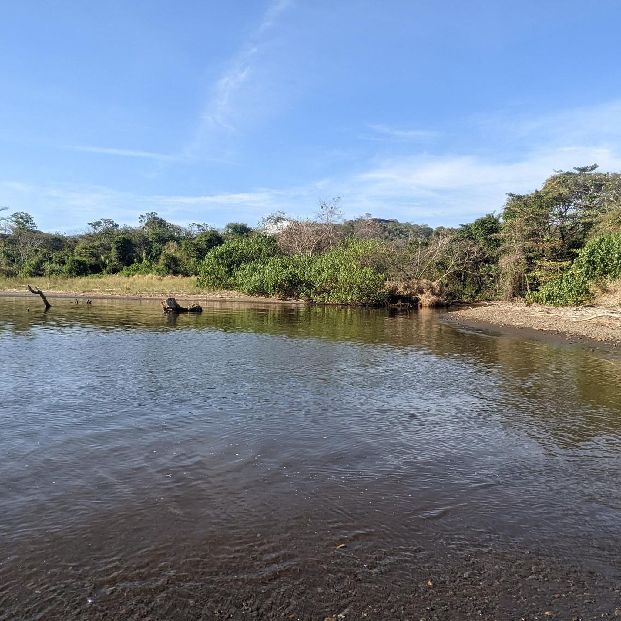
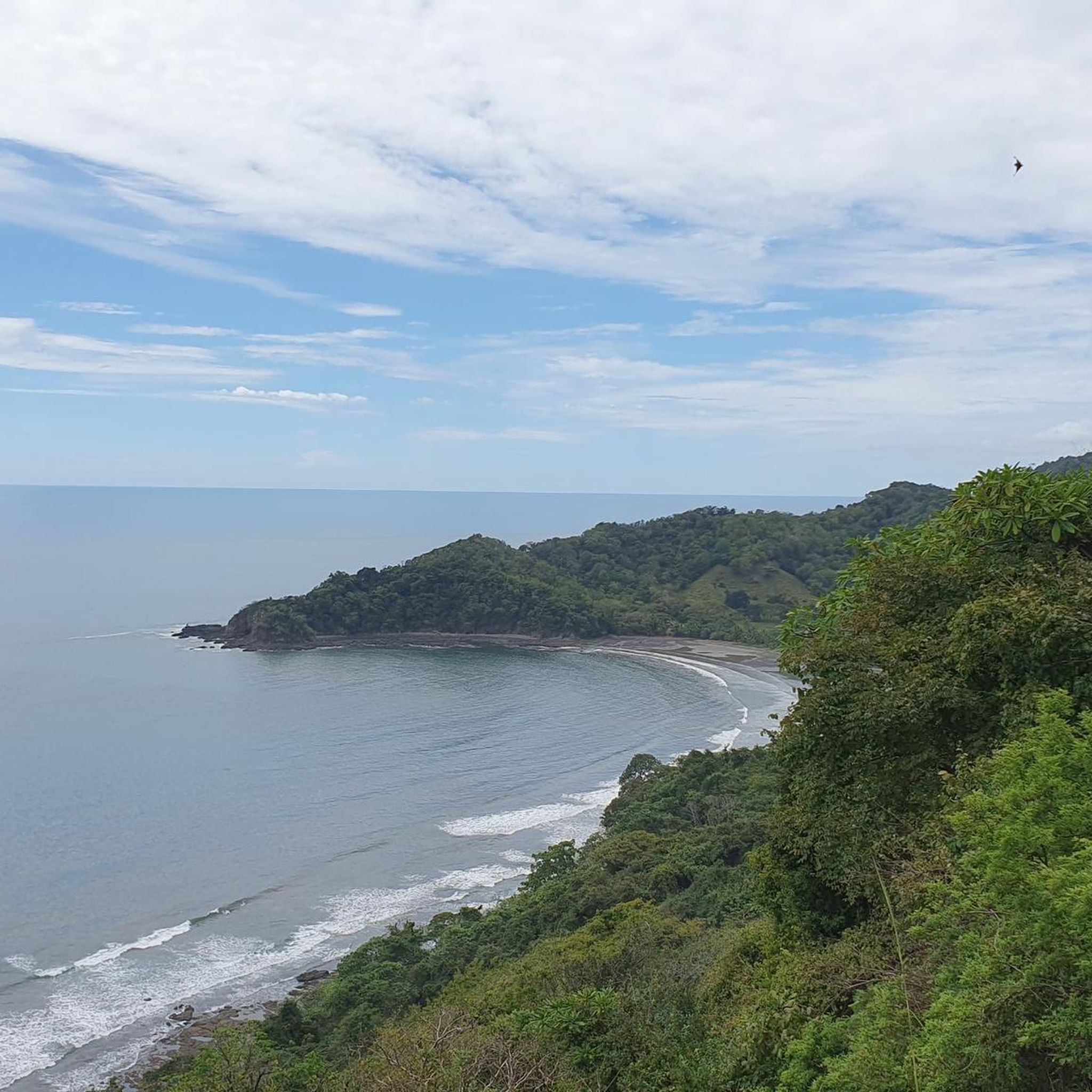
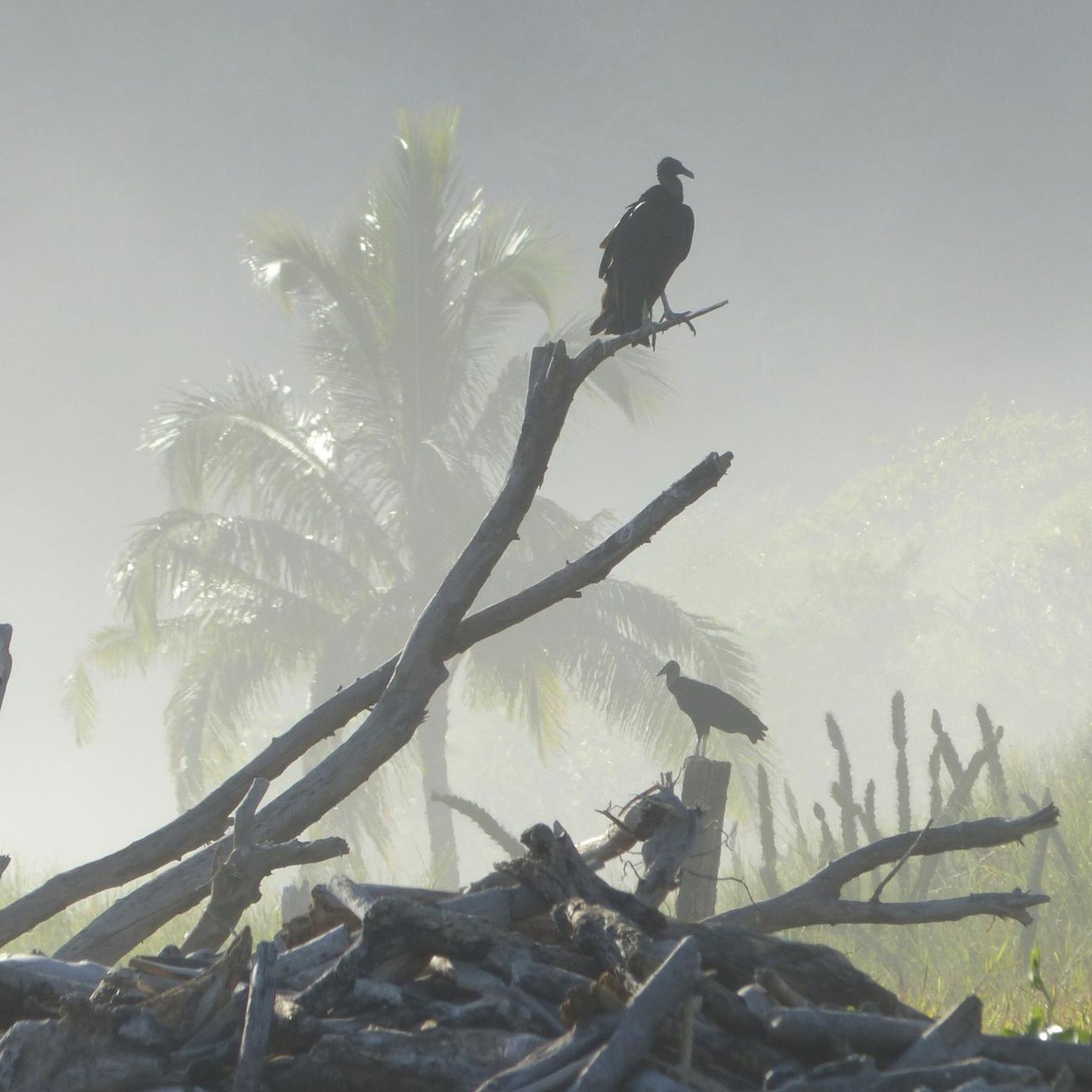
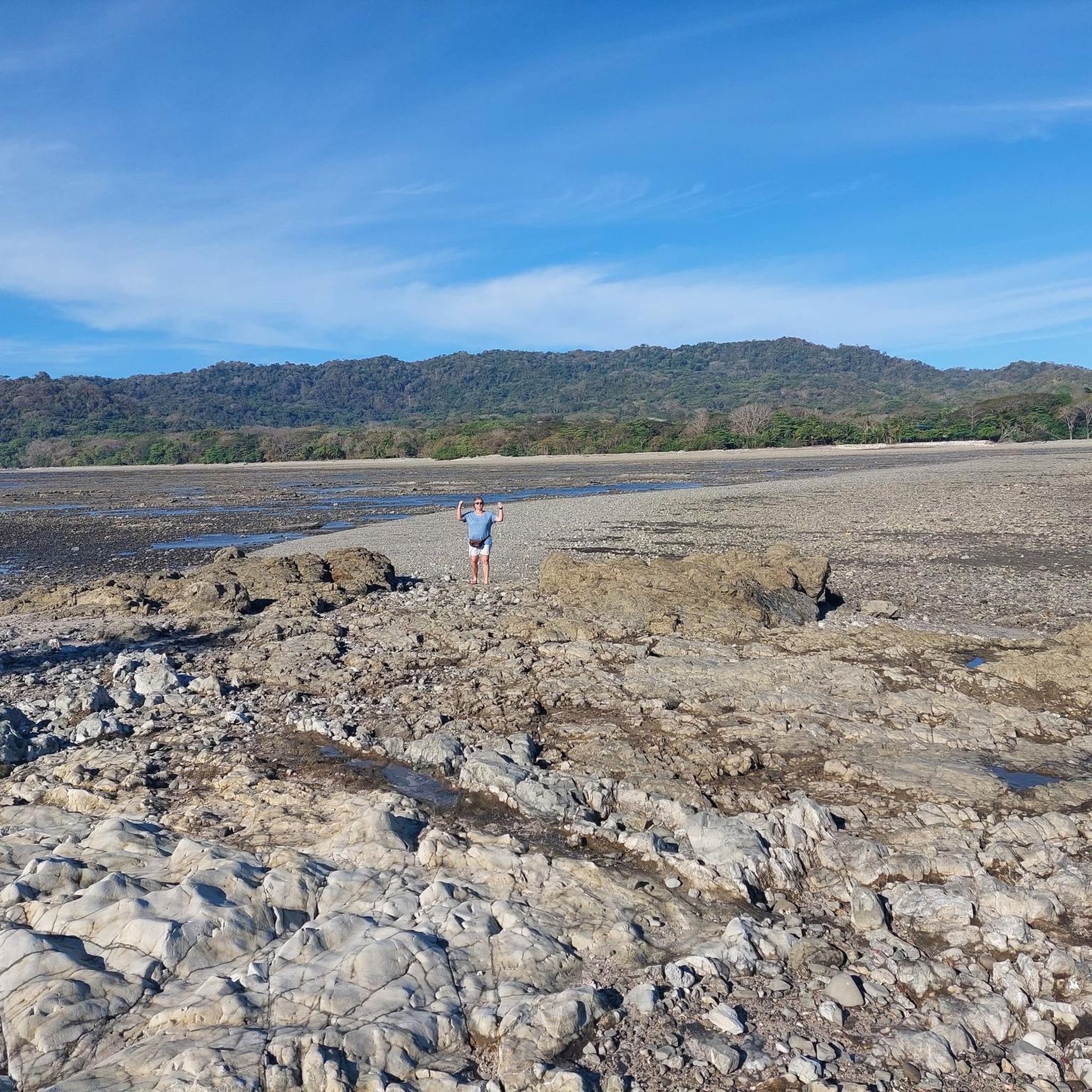
Tips from the Community

Beautiful little nature reserve with lodge.
2
0


A small bakery with fine and various croissants and baguettes and coffee
0
0
Frequently Asked Questions
What kind of terrain can I expect when hiking in Nandayure?
Nandayure offers a diverse range of terrain for hikers. You can expect mountainous areas with scenic views, coastal paths along beaches like Playa Corozolito, and trails that traverse natural reserves, agricultural lands such as rice fields, and cattle pastures. This variety provides a rich outdoor experience.
Are there any easy hiking trails suitable for beginners in Nandayure?
Yes, Nandayure has several easy hiking options. For example, the View of the Pacific Ocean – La Boulangerie loop from Sámara is an easy 3.4 km (2.1 miles) trail that can be completed in under an hour, offering coastal views. Another easy option is the Imperial Mural Building – La Boulangerie loop from Sámara, which is 2.4 km (1.5 miles) long.
What are the typical distances and durations for hikes in Nandayure?
Hiking trails in Nandayure vary in length and duration. You can find shorter walks like the View of the Pacific Ocean – La Boulangerie loop from Sámara at 3.4 km (2.1 miles) taking about 53 minutes. Longer routes, such as the Playa Sámara – Sunset at Sámara Beach loop from Sámara, cover about 13.0 km (8.1 miles) and typically take over 3 hours to complete.
Are there any circular hiking routes in Nandayure?
Many of the hiking routes in Nandayure are circular, allowing you to start and end at the same point. Examples include the popular Monte Alto Nature Reserve loop from Park entry Reserva Natural Monte Alto, and various coastal loops around Sámara such as the Sunset at Sámara Beach – Playa Sámara loop from Boca Dormilona.
What do other hikers say about the trails in Nandayure?
The hiking routes in Nandayure are highly rated by the komoot community, with an average score of 4.2 stars from over 18 reviews. Hikers often praise the varied terrain, from mountainous views to coastal paths, and the opportunities to explore natural reserves and agricultural landscapes.
What kind of views can I expect on the trails in Nandayure?
Hikers in Nandayure can enjoy a variety of scenic views. The mountainous terrain often provides expansive outlooks, including glimpses of an inlet and nearby islands. Coastal trails offer beautiful ocean vistas, particularly around areas like Sámara and Playa Corozolito.
Are there any trails that go through natural reserves?
Yes, Nandayure features trails that lead through natural reserves. A notable example is the Monte Alto Nature Reserve loop from Park entry Reserva Natural Monte Alto, which is a moderate 8.4 km (5.2 miles) route offering exploration within a protected natural environment.
What is the best time of year to go hiking in Nandayure, Costa Rica?
While specific seasonal details for Nandayure are not provided, the Guanacaste region, where Nandayure is located, generally experiences a dry season from December to April, which is often considered ideal for hiking due to less rain and more sunshine. The green season (May to November) brings lush landscapes but also more humidity and potential for afternoon showers.
Are there any hikes near the beach in Nandayure?
Absolutely. Nandayure's proximity to the coast means many hikes offer beach access or coastal views. For instance, the Sunset at Sámara Beach – Playa Sámara loop from Hotel Sol Sámara is a moderate 9.6 km (6.0 miles) route that traverses beachside terrain and offers coastal experiences.
How many hiking routes are available in Nandayure?
There are 10 hiking routes available in Nandayure, offering a range of experiences from easy walks to moderate ascents. These routes are well-regarded by the komoot community.
What is the difficulty level of hiking trails in Nandayure?
The hiking trails in Nandayure are generally categorized as easy to moderate. There are 5 easy routes and 5 moderate routes, making the area accessible for various fitness levels. There are no difficult trails listed.
Can I find trails that offer a mix of natural beauty and local agricultural insights?
Yes, many trails in Nandayure provide a unique blend of natural landscapes and a glimpse into local life. Some routes traverse agricultural lands, including rice fields and cattle pastures, alongside natural beauty, offering a comprehensive experience of the region's environment.

Get inspired with the komoot mobile app


Explore more
Browse the best Hikes in other regions.
