The best walks and hikes around Buchenberg
4.5
(1571)
7,183
hikers
130
hikes
Hiking around Buchenberg, situated in Bavaria's Allgäu region, offers diverse landscapes within the gentle Alpine foothills. The area features clear lakes such as Rottachsee and Eschacher Weiher, alongside varied forest landscapes and typical raised bog moorlands. Panoramic views are a highlight, extending from locations like the Buchenbergalm. The region provides a range of trails suitable for different skill levels.
Best hiking trails around Buchenberg
- The most popular hiking route is View of the Raggenhorn – Wenger-Egg Alp loop from Wandergebiet…
Last updated: October 4, 2026
4.7
(256)
954
hikers
Moderate hike. Good fitness required. Mostly accessible paths. Sure-footedness required.
4.4
(94)
325
hikers
6.27km
01:52
160m
160m
Moderate hike. Great for any fitness level. Mostly accessible paths. Sure-footedness required.

4.7
(91)
325
hikers
9.79km
02:57
320m
320m
Moderate hike. Good fitness required. Easily-accessible paths. Suitable for all skill levels.
4.6
(48)
186
hikers
6.35km
02:00
190m
190m
Moderate hike. Great for any fitness level. Mostly accessible paths. Sure-footedness required.
4.5
(47)
196
hikers
9.08km
02:49
330m
330m
Moderate hike. Good fitness required. Easily-accessible paths. Suitable for all skill levels.
Get access to more routes and recommendations from other explorers.
Already have an account?
Our route recommendations are based on thousands of hikes, rides, and runs completed by other people on komoot.
Start today with a free account
Your next adventure awaits.
Popular around Buchenberg

The Best of Allgäu – Tour around Oberallgäu
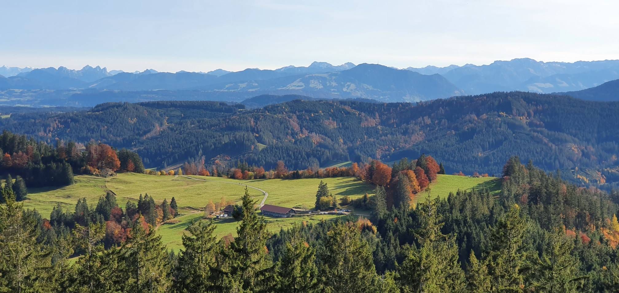
Alpine foothills on the Meadow Walkers’ Route – Allgäu hiking trilogy

Alpine panorama and mountain huts – nature biking in Germany’s Allgäu
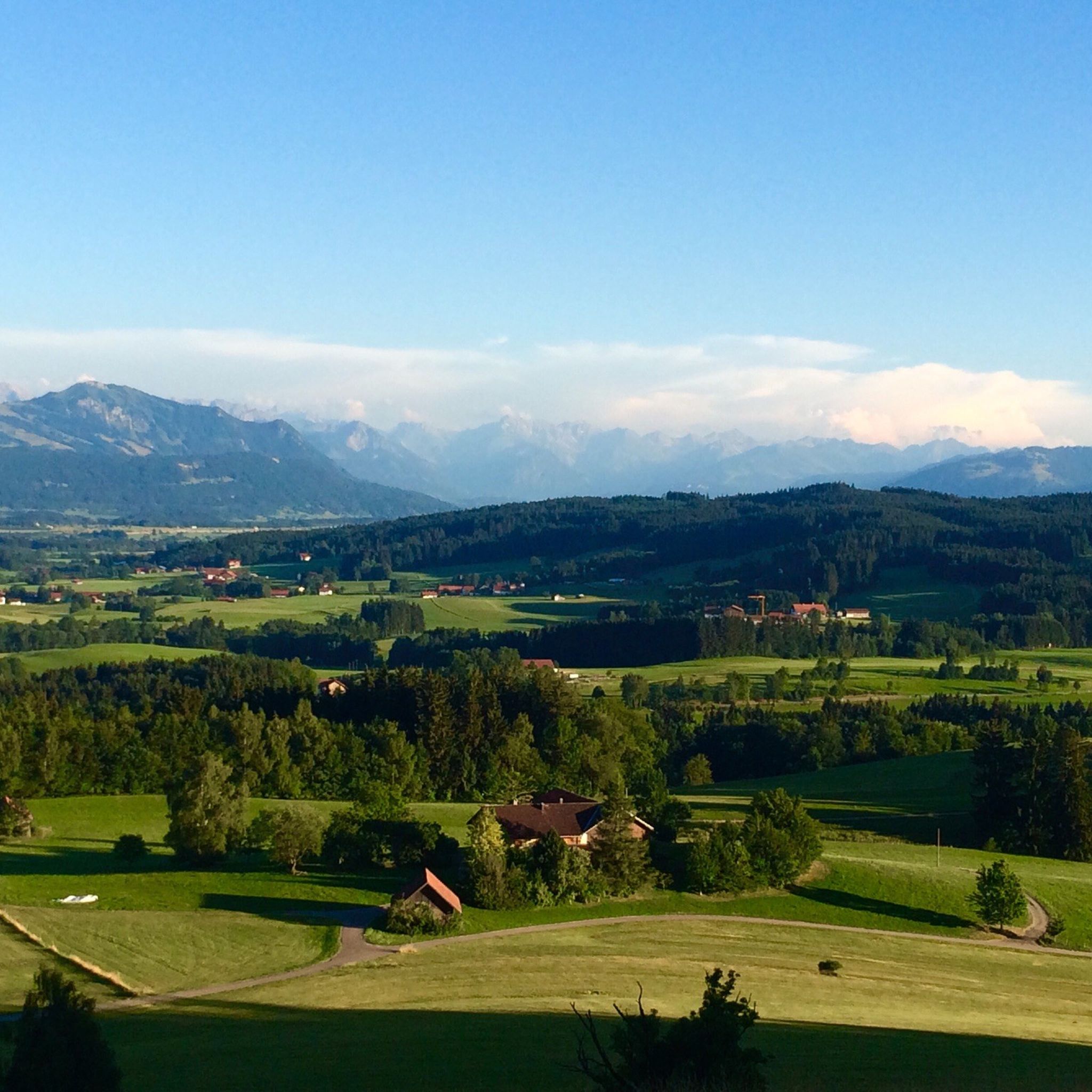
MTB Trails around Buchenberg
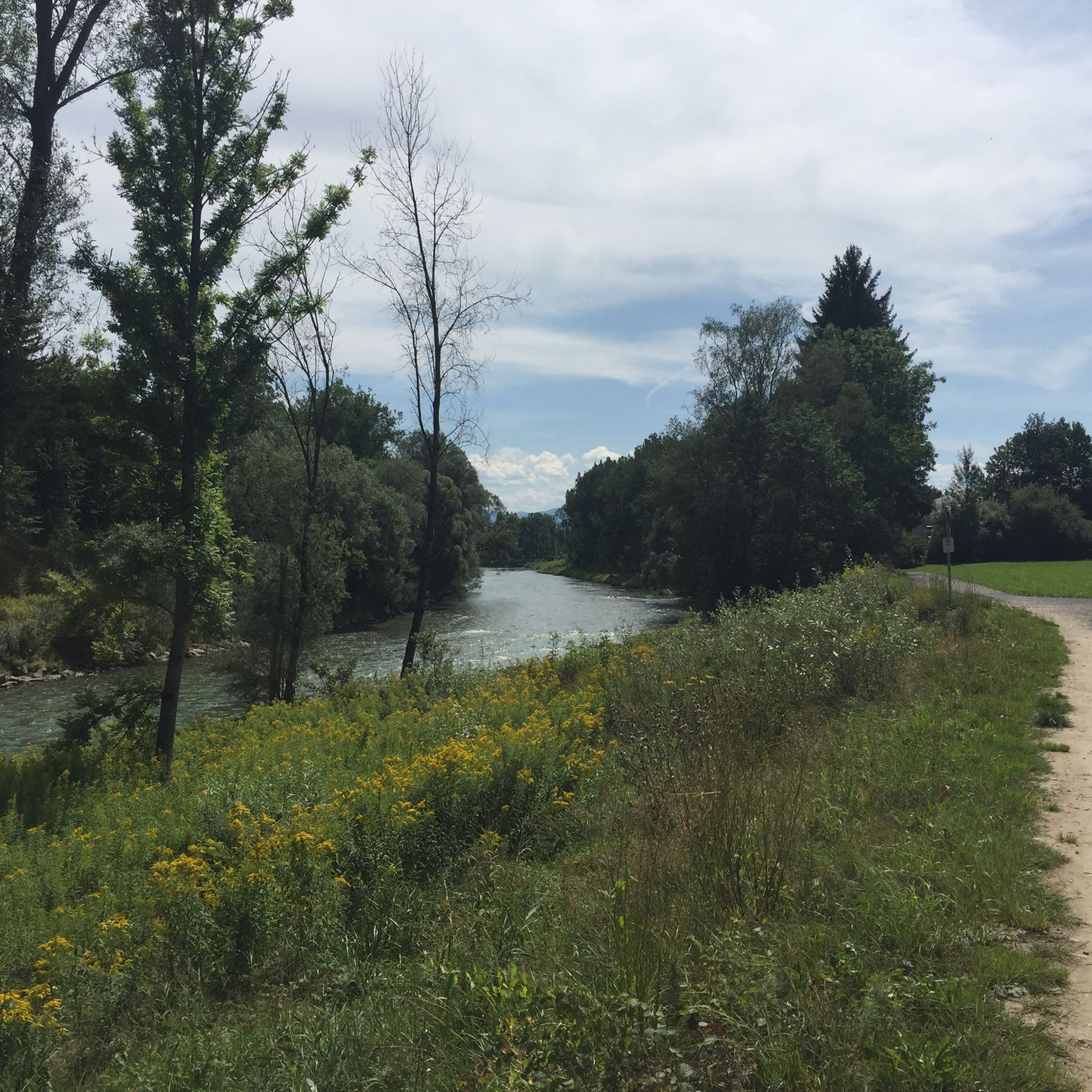
Cycling around Buchenberg
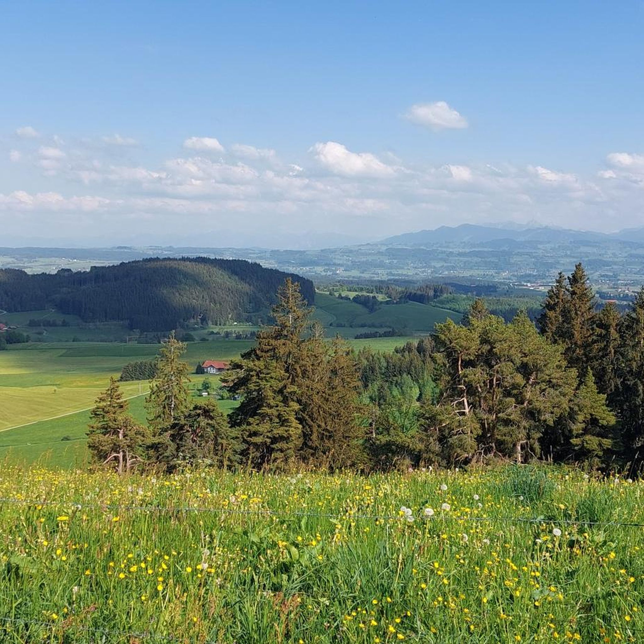
Running Trails around Buchenberg
Gravel biking around Buchenberg
Road Cycling Routes around Buchenberg
Mountain Hikes around Buchenberg
Other adventures around Buchenberg


Tips from the Community

The restaurant "Zur Tanne" has been closed since April 2025 and probably forever. The food was really delicious and a bit upscale. In the village, there is still the traditional Gasthof Kreuz. Towards the Schwarzen Grat, it mostly goes uphill in a shady forest.
0
0
The bench is perfect, if it weren't for the stretch through the forest. I've cycled to the snack bar there several times when there wasn't a "barrier with a fence" yet. At the eastern end of the forest, they have now created a passage for pedestrians which is not suitable for bicycles. Unfortunately, I destroyed the pictures.
0
0
Great winter atmosphere even if it's not enough for ice skating. Without Uranus, I'm now cycling to Schneider with a delicious mulled wine. Maybe enlightenment will come to me then.
0
0


Beautiful view of the mountains and the Eschacherweiher in the foreground
0
0

Magnificent spot on the Eschacher Weiher with a view of the mountains
0
0

Station Uranus of the planetary circuit at Eschacher Weiher
0
0
Frequently Asked Questions
How many hiking trails are available around Buchenberg?
Buchenberg offers a wide selection of hiking routes, with over 130 trails available for exploration. These range from easy strolls to more challenging ascents, catering to various skill levels.
What kind of terrain can I expect on Buchenberg's hiking trails?
The terrain around Buchenberg is diverse, featuring gentle Alpine foothills, varied forest landscapes with natural roots and steps, and typical raised bog moorlands. You'll also find paths circling clear lakes like the Eschacher Weiher.
Are there easy hiking routes suitable for beginners in Buchenberg?
Yes, Buchenberg has numerous easy hiking routes. Approximately 69 of the available trails are classified as easy, making them ideal for beginners or those seeking a relaxed walk. An accessible route to Hohenkapf, though with a short steep forest ascent, is also a good option.
Are there any circular hiking routes in Buchenberg?
Many of Buchenberg's trails are circular, allowing you to start and end at the same point. A popular example is the Eschacher Pond – Eschacher Pond loop from Eschach, which circles the scenic Eschacher Weiher. Another option is the View of the Raggenhorn – Wenger-Egg Alp loop from Wandergebiet Buchenberg.
What are the best viewpoints or natural features to see while hiking in Buchenberg?
Buchenberg is known for its panoramic views. From the observation tower at Schwarzer Grat, you can see as far as Lake Constance and even Switzerland on clear days. The Buchenbergalm also offers great panoramas. Other natural features include the clear waters of Lake Rottach and the Eschacher Weiher, as well as varied forest and moorland landscapes.
Are there family-friendly hiking options in Buchenberg?
Absolutely. The 'small Buchenberg' mountain itself, at 1140 meters, is considered family-friendly with multiple ascent options. The observation tower at Schwarzer Grat also features a playground, making it a great stop for families. Many of the easy trails are suitable for families.
Can I go hiking with my dog in Buchenberg?
Yes, Buchenberg is a dog-friendly hiking destination. Most trails are suitable for dogs, but it's always recommended to keep your dog on a leash, especially in areas with livestock or wildlife, and to respect local regulations.
What is the best time of year to go hiking in Buchenberg?
Buchenberg offers hiking opportunities year-round. In summer, you can enjoy the lush landscapes and clear lakes. In winter, the area transforms into a wonderland suitable for winter hiking and snowshoeing, with the Eschacher Weiher often freezing over for stunning views.
Are there places to eat or rest along the hiking trails?
Yes, hikers can find welcoming spots to rest and refuel. The Wenger-Egg Alp and the Buchenbergalm are mountain huts that provide refreshments and stunning views. Other options include the Butterblume Alpine Inn and Wachters Alp.
What do other hikers enjoy most about Buchenberg?
The area is highly rated by the komoot community, with an average score of 4.5 stars from over 1300 reviews. Hikers often praise the diverse landscapes, the extensive network of trails for all abilities, and the breathtaking panoramic views, especially from spots like the Buchenbergalm and Schwarzer Grat.
Are there any interesting historical sites or attractions near the hiking routes?
Yes, you can explore several interesting sites. The Allgäu Mountain Farmers Museum and Höfle Alpe offers insight into local history. For those interested in natural formations, the Robber's Cave near Missen is a notable highlight.
Are there any hikes that offer views of the Allgäu Alps?
Yes, several routes provide stunning vistas of the surrounding mountain ranges. The View of the Allgäu Alps – View of the Allgäu Alps loop from Hölzlers Tobel is specifically designed to showcase these impressive alpine views.
Most popular routes around Buchenberg
Most popular attractions around Buchenberg

Get inspired with the komoot mobile app


Explore more
Browse the best Hikes in other regions.
