The best road cycling routes around Gsteigwiler
4.4
(285)
7,028
riders
46
rides
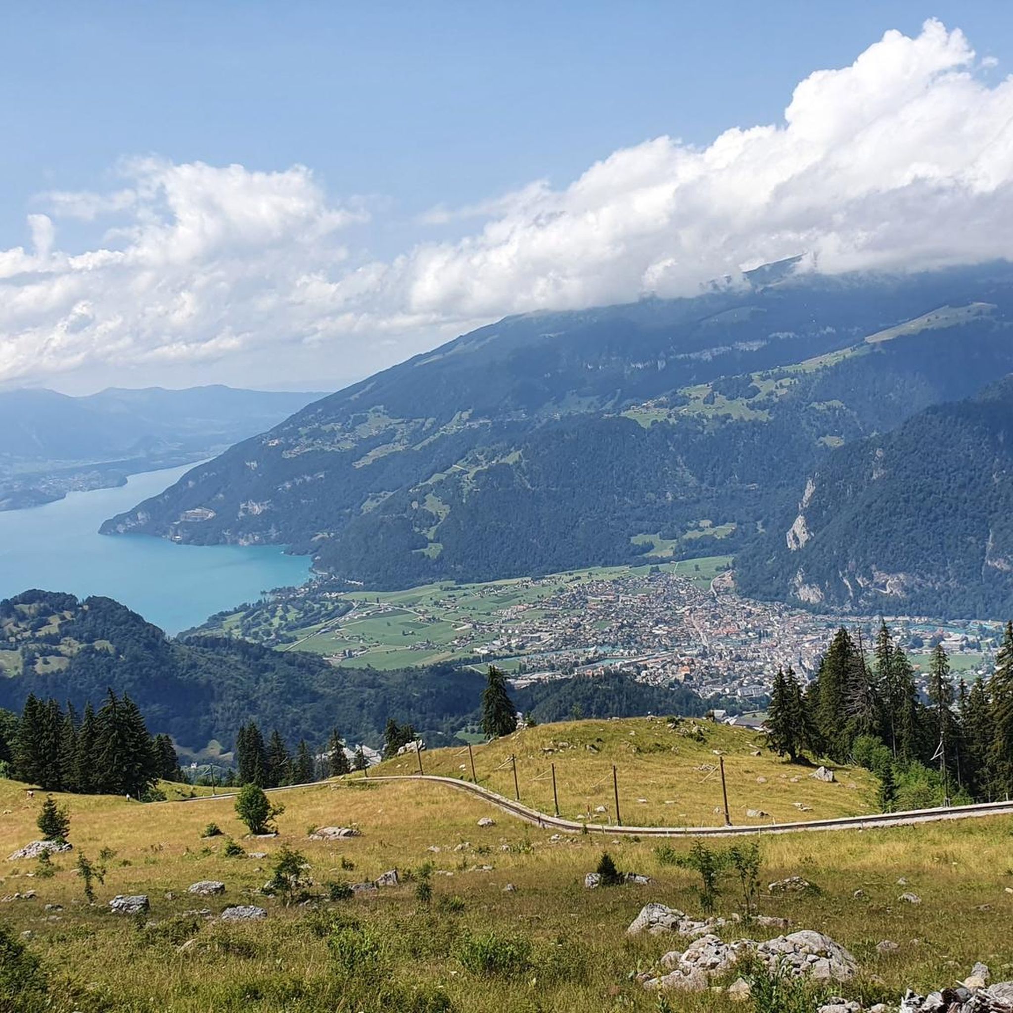
Road cycling around Gsteigwiler, a village in the Bernese Oberland, offers diverse terrain for cyclists. Situated at 645 meters above sea level, the area features a mix of challenging mountain passes, scenic lakeside routes around Lake Brienz and Lake Thun, and gentler valley rides along the Lütschine river. The landscape is characterized by lush valleys, forests, and views of prominent peaks like the Eiger and Jungfrau. This region provides a strategic base for exploring varied road cycling routes.
Best road…
Last updated: July 10, 2026
4.3
(28)
760
riders
35.8km
02:00
510m
510m
Moderate road ride. Good fitness required. Some segments of this route may be unpaved and difficult to ride.
4.6
(158)
2,560
riders
53.3km
02:19
450m
450m
Moderate road ride. Good fitness required. Mostly well-paved surfaces and easy to ride.

Sign up for free
4.8
(18)
1,145
riders
134km
06:15
1,500m
1,500m
Hard road ride. Very good fitness required. Some segments of this route may be unpaved and difficult to ride.
4.9
(34)
488
riders
67.4km
02:50
360m
360m
Moderate road ride. Good fitness required. Some segments of this route may be unpaved and difficult to ride.
5.0
(3)
154
riders
128km
06:59
2,250m
2,250m
Hard road ride. Very good fitness required. Some segments of this route may be unpaved and difficult to ride.
Get access to more routes and recommendations from other explorers.
Sign up for free
Already have an account?
Our route recommendations are based on thousands of hikes, rides, and runs completed by other people on komoot.
Start today with a free account
Your next adventure awaits.
Login or Signup

Tips from the Community

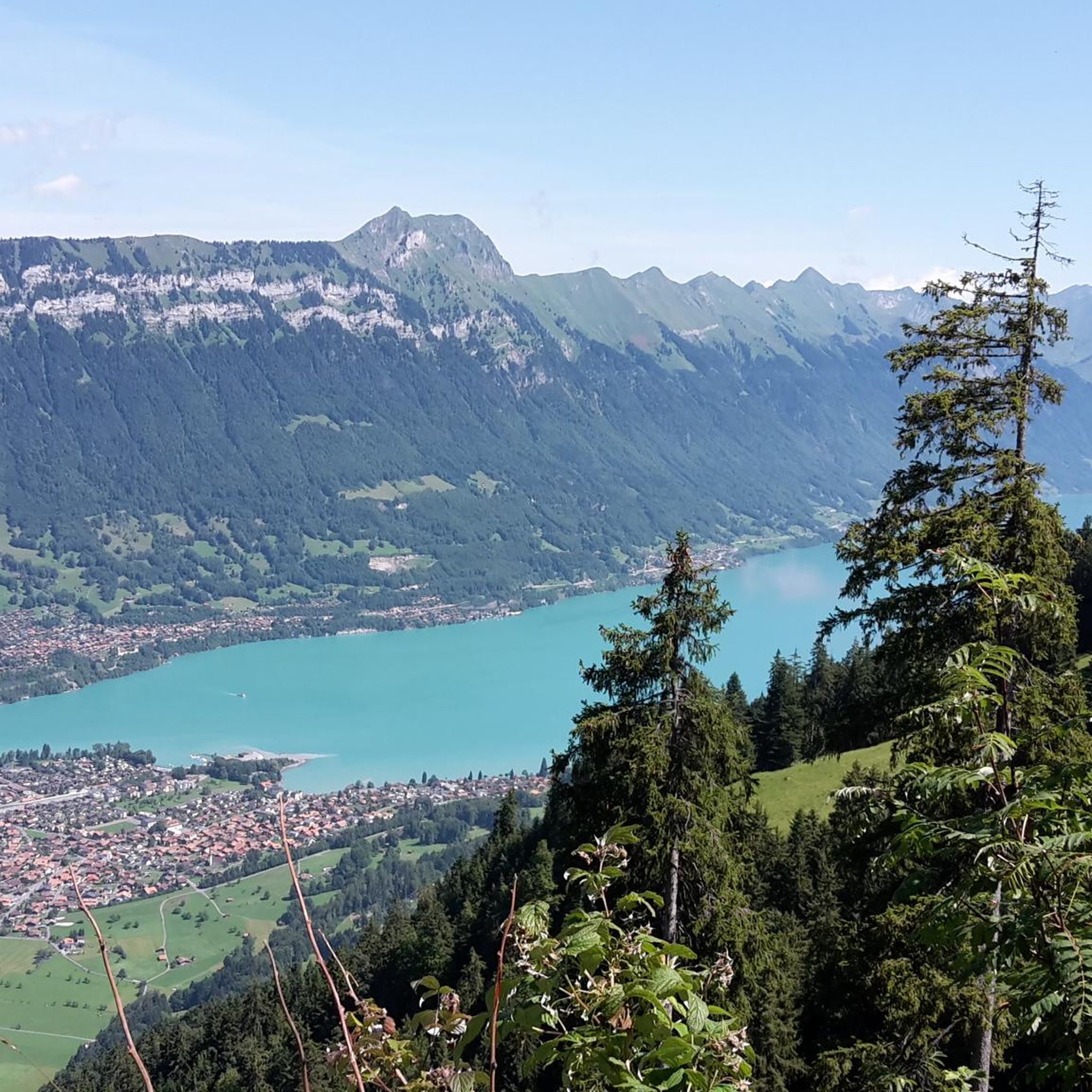
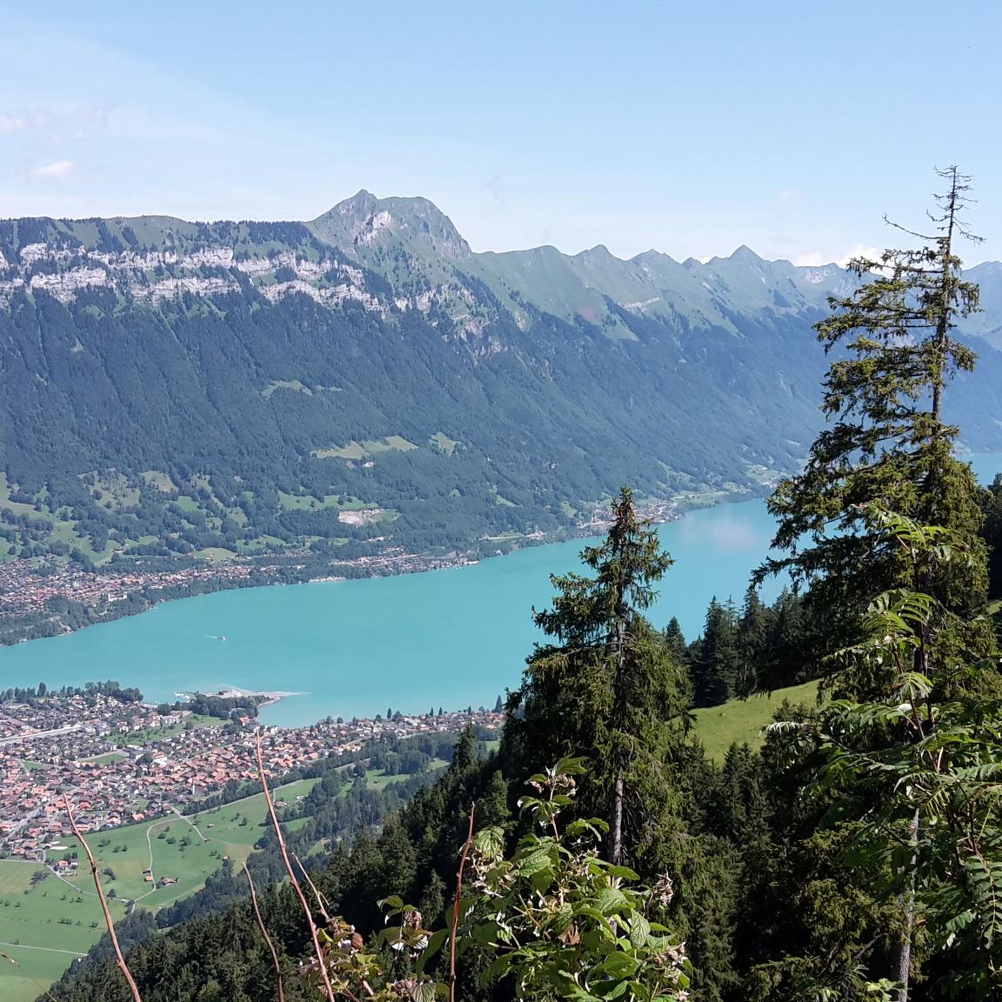
Brienz is one of the most beautiful villages in Switzerland. The surroundings of the lake are a perfect place to feel the beauty of nature. Peace is in the air.
0
0

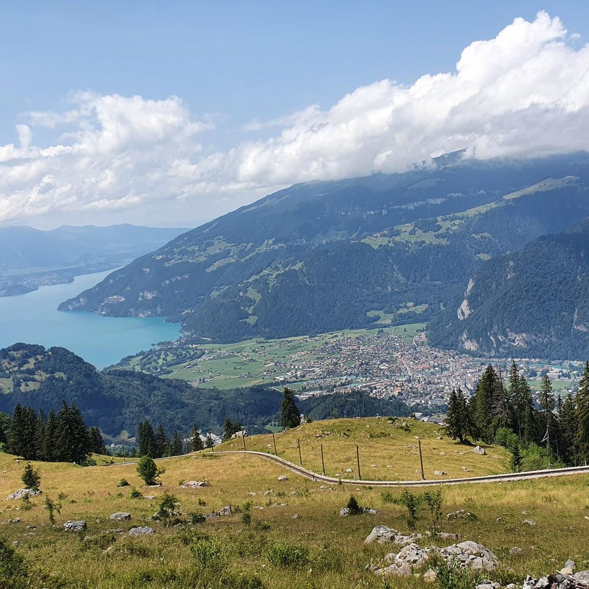
View over the complete Lake Thun, from Interlaken to Thun.
0
0


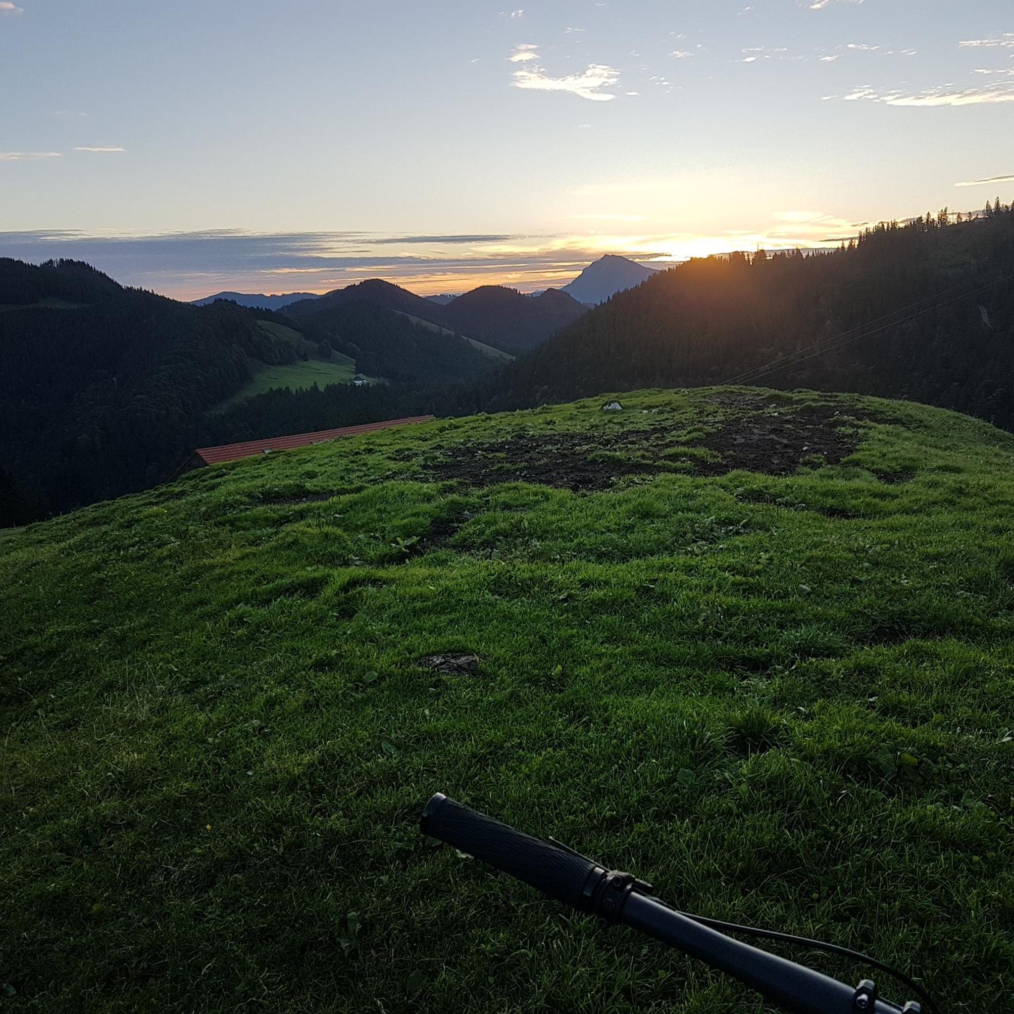
Great day on the Lakes Route with the day's end lake, Lake Thun
0
0

As you cycle along Dorfstrasse, you’ll be treated to breathtaking views of Lake Thun, with the Swiss Alps as a backdrop. As you ride, the deep blue waters of the lake sparkle below, framed by rolling green hills and Alpine peaks that seem to stretch on forever. This stretch offers a mix of gentle inclines and relaxed descents, allowing you to fully enjoy the beauty of the lake and surrounding landscape.
0
0
Cycling through Zwieselberg offers a picturesque and invigorating ride along quiet roads that wind through the Bernese Oberland countryside. The route features gentle hills, open fields, and occasional climbs, making it accessible and rewarding for road cyclists. As you pedal, you'll enjoy panoramic views of the surrounding peaks, lush valleys, and traditional Swiss farmhouses that dot the landscape.
1
0

Nice route around the Brienzersee. Starting in Lauterbrunnen, you will have a nice descent into Interlaken. The first section around the lake has several small towns with lakeside cafes. The second section includes some climbing through the forest. You can end in Interlaken and return to Lauterbrunnen with the train.
0
0

Beautiful scenery, nice café at the airport for a little break.
0
0
Frequently Asked Questions
How many road cycling routes are available around Gsteigwiler?
Gsteigwiler offers a wide selection of road cycling routes, with over 50 options available. These routes cater to various skill levels, including 11 easy, 20 moderate, and 19 difficult trails.
What kind of terrain can I expect on road cycling routes near Gsteigwiler?
The region around Gsteigwiler provides diverse terrain for road cyclists. You can expect a mix of challenging mountain passes with significant elevation gains, scenic lakeside routes around Lake Brienz and Lake Thun, and gentler valley rides along the Lütschine river. The landscape features lush valleys, forests, and views of prominent peaks like the Eiger and Jungfrau.
Are there road cycling routes suitable for beginners or families in Gsteigwiler?
Yes, Gsteigwiler offers routes suitable for various abilities, including options for beginners and families. While the region is known for challenging climbs, there are also more leisurely rides, particularly around the lakes and in the valleys. For example, the route View of Lake Brienz – View of Lake Brienz loop from Interlaken Ost is a moderate option that takes you through the Lake Brienz area.
What are some challenging road cycling climbs near Gsteigwiler?
For experienced cyclists seeking a challenge, the region offers demanding climbs with significant elevation gains. The Grosse Scheidegg pass is renowned for its steep gradients and spectacular vistas. Other challenging routes in the wider area include those passing at the foot of the Eiger North Face or leading towards Kleine Scheidegg. A difficult route to consider is Oberhofen Castle – Zwieselberg Scenic Road loop from Interlaken West, which features a scenic road and substantial elevation gain.
Can I find road cycling routes that offer views of the lakes?
Absolutely. Gsteigwiler is ideally situated for scenic lakeside cycling. You can enjoy picturesque rides around both Lake Brienz and Lake Thun. Routes like Oberhofen Castle – View of Lake Thun loop from Interlaken Ost offer beautiful views of Lake Thun, while the View of Lake Brienz – View of Lake Brienz loop from Interlaken Ost takes you along the vibrant blue waters of Lake Brienz.
Are there routes that pass by waterfalls or other natural attractions?
Yes, the region is home to impressive natural attractions. Cyclists can find routes that pass by or are near waterfalls such as the Staubbach Falls near Lauterbrunnen, Switzerland's second-highest waterfall, and the Staubbach Falls in Lauterbrunnen. The Lake Brienz – Oltschibachfall loop from Wilderswil is a moderate route that includes views of Lake Brienz.
What notable landmarks or viewpoints can I see while cycling around Gsteigwiler?
The area around Gsteigwiler is rich with stunning landmarks and viewpoints. You can enjoy panoramic views of the Jungfrau, Eiger, and Mönch peaks from places like Schynige Platte. Other prominent peaks include Harder Kulm and Niederhorn Summit, which overlook Lake Thun. Many routes offer views of these majestic mountains, and you might even pass by the View of Eiger, Mönch and Jungfrau.
What is the best time of year for road cycling in Gsteigwiler?
The best time for road cycling in Gsteigwiler is generally from spring through autumn. During these seasons, the weather is more favorable, and mountain passes are typically clear of snow. Spring offers lush landscapes, while summer provides warmer temperatures. Autumn brings vibrant colors to the forests and valleys, making for particularly scenic rides.
Is there parking available for cyclists in Gsteigwiler?
Gsteigwiler, being a small village, offers various parking options, often in or near the village center. For specific routes, it's advisable to check the starting points for designated parking areas. Many routes also start from nearby towns like Interlaken, which have more extensive parking facilities.
What do other road cyclists enjoy the most about road cycling in Gsteigwiler?
The road cycling routes around Gsteigwiler are highly rated by the komoot community, with an average score of 4.6 stars from over 290 reviews. Cyclists often praise the diverse terrain, from challenging alpine passes to serene lakeside paths, and the breathtaking views of the Jungfrau Region's peaks and lakes. The variety of routes catering to different skill levels is also a frequently highlighted positive aspect.
Are there any circular road cycling routes available?
Yes, many road cycling routes around Gsteigwiler are designed as loops, allowing you to start and finish in the same location. Examples include the Oberhofen Castle – View of Lake Thun loop from Interlaken Ost and the View of Lake Brienz – View of Lake Brienz loop from Interlaken Ost, which are popular choices for their scenic circular paths.
Can I access road cycling routes in Gsteigwiler using public transport?
Gsteigwiler is well-connected within the Bernese Oberland. You can reach Gsteigwiler and nearby starting points like Interlaken Ost or Interlaken West by train or bus. Many routes are accessible from these public transport hubs, making it convenient to start your cycling adventure without a car. It's always a good idea to check local public transport schedules for specific connections.
Most popular routes around Gsteigwiler
Most popular attractions around Gsteigwiler

Get inspired with the komoot mobile app


Explore more
Browse the best Road cycling routes in other regions.
