The best running trails around Gsteigwiler
4.5
(134)
6,784
runners
233
runs
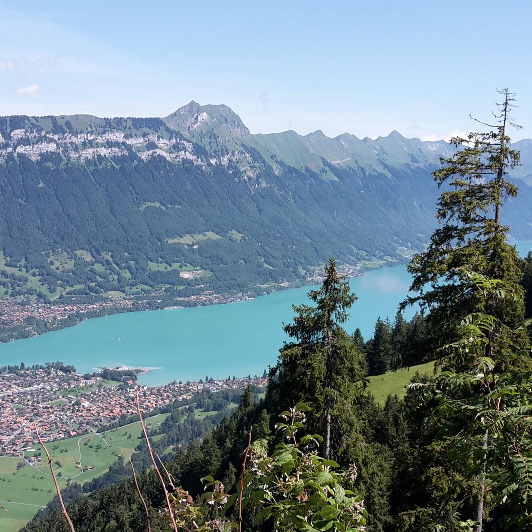
Jogging routes around Gsteigwiler traverse a landscape characterized by the proximity of Lake Brienz and the Aare river, offering a mix of lakeside paths and river valley trails. The region features varied terrain, from relatively flat sections along the water to more challenging ascents into the surrounding hills. This area provides diverse running environments, including routes with views of the Bernese Oberland mountains.
Best jogging routes around Gsteigwiler
- The most popular jogging route is Bönigen Harbour on Lake Brienz –…
Last updated: June 24, 2026
4.0
(1)
80
runners
Moderate run. Good fitness required. Mostly paved surfaces. Suitable for all skill levels.
28
runners
Moderate run. Good fitness required. Mostly paved surfaces. Suitable for all skill levels.

Sign up for free
27
runners
Moderate run. Good fitness required. Mostly paved surfaces. Suitable for all skill levels.
22
runners
6.17km
00:38
30m
30m
Moderate run. Good fitness required. Mostly paved surfaces. Suitable for all skill levels.
4.0
(1)
17
runners
11.6km
01:15
190m
190m
Moderate run. Good fitness required. Mostly paved surfaces. Suitable for all skill levels.
Get access to more routes and recommendations from other explorers.
Sign up for free
Already have an account?
Our route recommendations are based on thousands of hikes, rides, and runs completed by other people on komoot.
Start today with a free account
Your next adventure awaits.
Login or Signup

Tips from the Community

It rolls nicely here ;-)
0
0

The Zweilütschinen train station is located at the fork of Lütschental (towards Grindelwald) and Lauterbrunnental (towards Lauterbrunnen - Wengen - Mürren. It is operated by BOB, the Berner Oberland-Bahn. There is a parking lot and a public toilet. Tickets can be purchased via machine or app. There is no longer a staffed ticket counter. From the station, you have a beautiful view of the Wetterhorn.
0
0

There are 2 whitewater rivers that look gray and are incredibly wild flowing into that mega-large, almost stagnant green/blue lake
0
0

Small, mega beautiful walk also very suitable for families
0
0

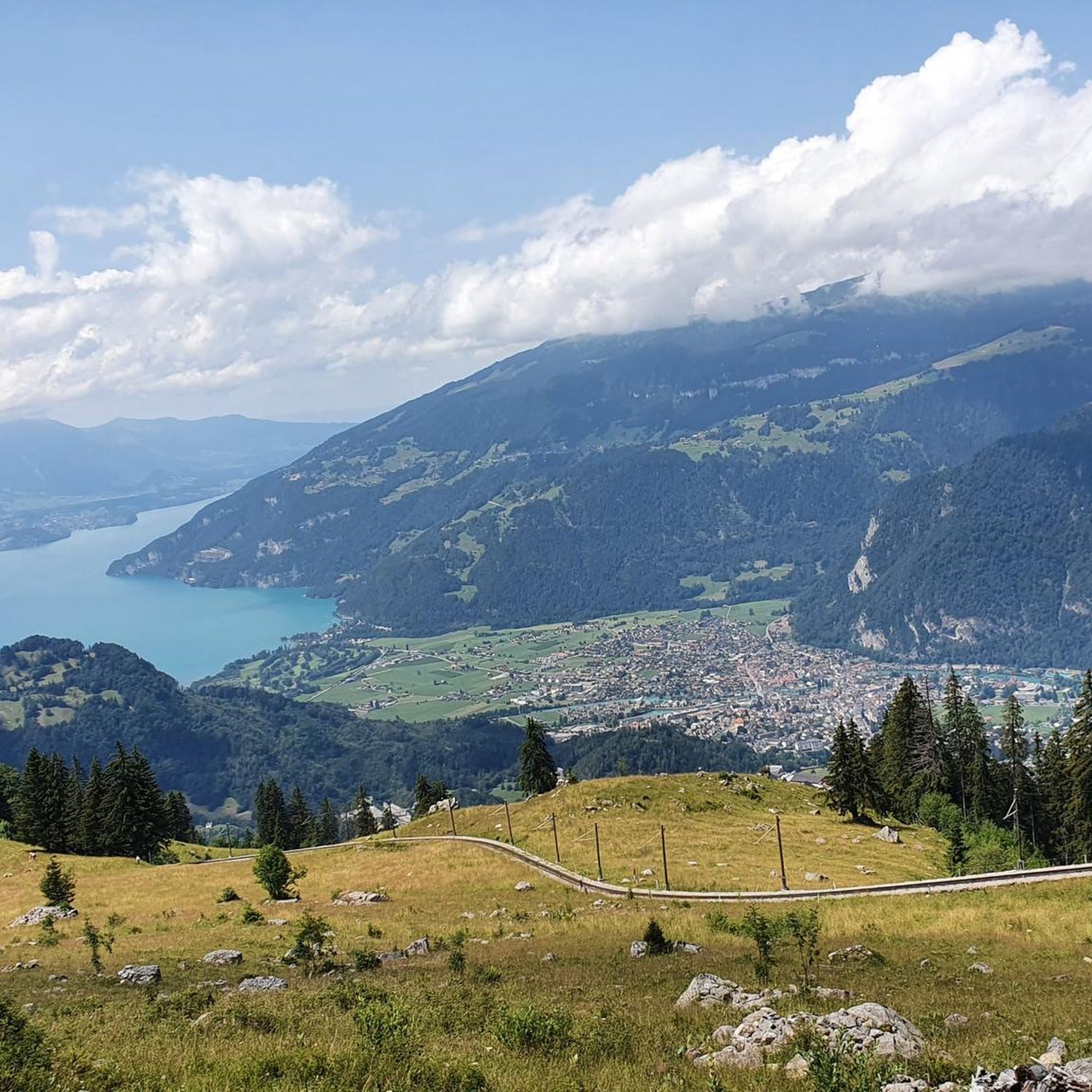
What a wonderful view of this dreamlike scenery.
1
0

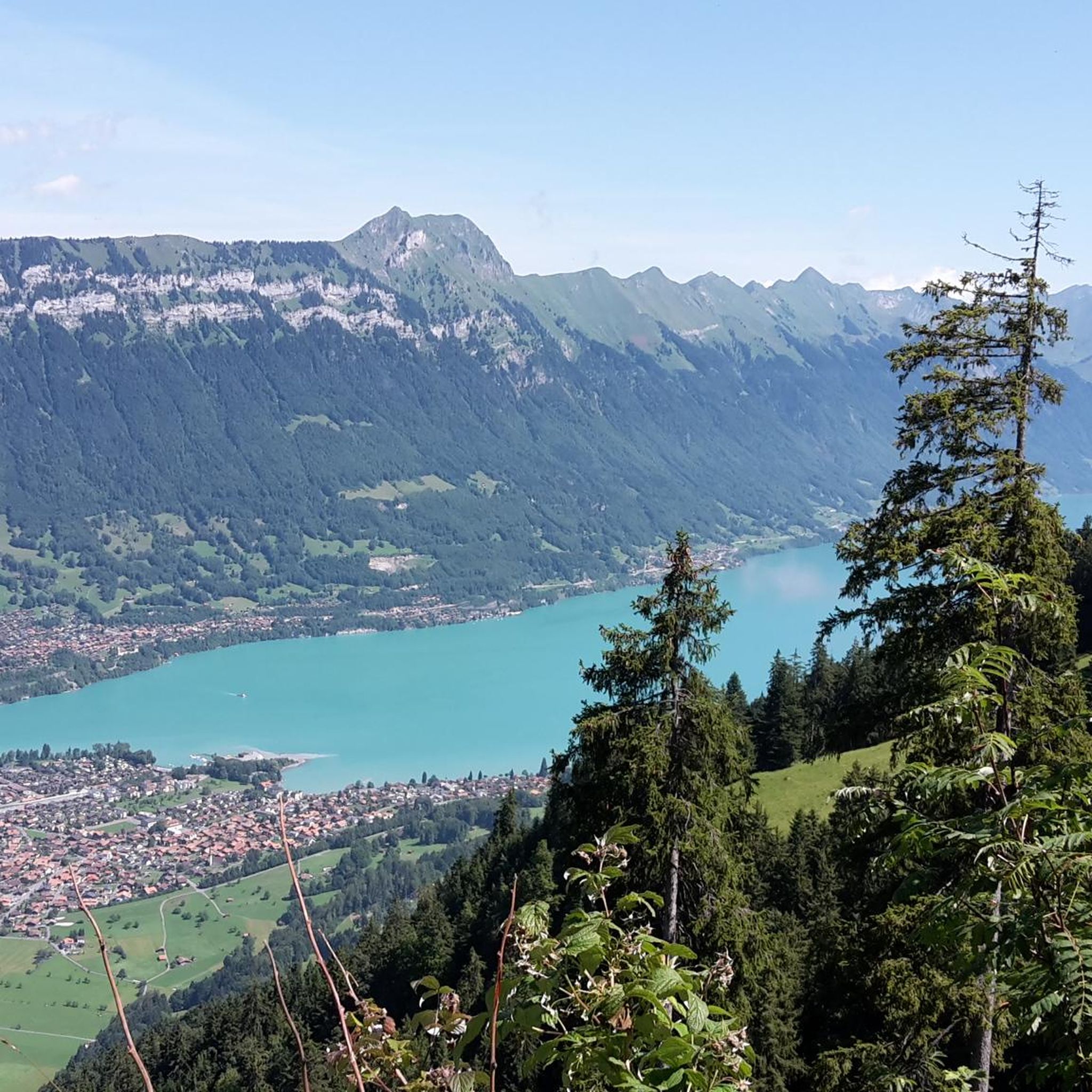
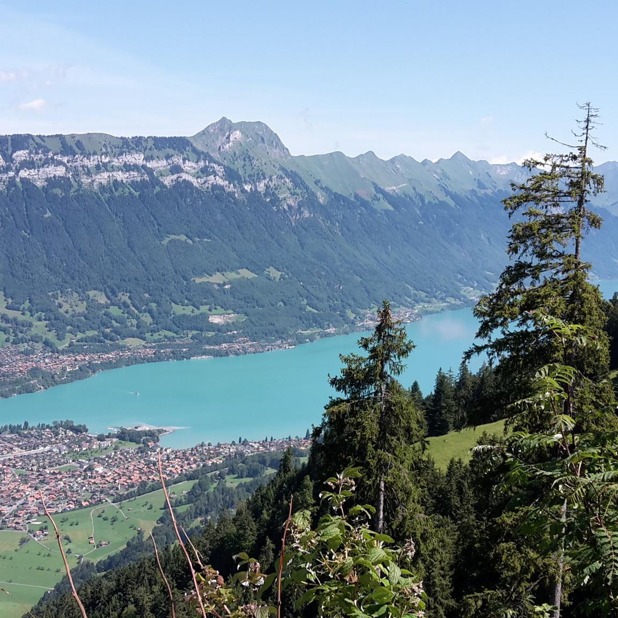
Whatever you are looking for, Lake Brienz has it all. Flat, uphill, stunning views from the water or panoramic views from above, the choice is yours. Your outing promises to be epic!
0
0

Picturesque village nestled between the mountains and the Lake Brienz. It's the perfect starting point for an adventure along the shores of the lake, across the high plateaus, or along the flow trails and pumptracks in the bikeparks.
0
0

Nice cycle path along the lake
0
0
Frequently Asked Questions
How many running routes are available around Gsteigwiler?
There are over 240 running routes in the Gsteigwiler area documented on komoot, offering a wide variety of options for different skill levels and preferences.
Are there easy jogging routes suitable for beginners in Gsteigwiler?
Yes, Gsteigwiler offers several easy jogging routes. For instance, the Lake Brienz at the mouth of the Aare loop from Matten b. Interlaken is a moderate 5.3-mile (8.5 km) trail with minimal elevation gain, perfect for a relaxed run along the water.
What kind of terrain can I expect on jogging trails in Gsteigwiler?
The jogging routes around Gsteigwiler feature diverse terrain. You'll find relatively flat paths along Lake Brienz and the Aare river, as well as more challenging ascents into the surrounding hills, offering a mix of lakeside, river valley, and mountain-view trails.
Are there any family-friendly running paths in the Gsteigwiler region?
Many of the easier and moderate routes along the lake and river are suitable for families. The Wooden bridge and old village quarter loop from Wilderswil is a moderate 3.8-mile (6.1 km) route that offers a pleasant experience for families, exploring local sights with gentle terrain.
Can I bring my dog on the jogging trails around Gsteigwiler?
Generally, dogs are welcome on many trails in the Gsteigwiler area, especially on paths through natural landscapes. However, it's always advisable to keep your dog on a leash and check local regulations, particularly in nature reserves or agricultural areas. Routes like the View of the River in Oberland loop from Zweilütschinen offer open spaces that can be enjoyable for you and your dog.
What are some notable landmarks or attractions I might see while running in Gsteigwiler?
While jogging, you can enjoy views of the Bernese Oberland mountains and the stunning Lake Brienz. Nearby attractions include impressive waterfalls like Staubbach Falls and the Waterfall in front of the Beatus Caves. Some routes also offer glimpses of mountain passes and viewpoints, such as the View of Eiger, Mönch and Jungfrau.
Are there loop jogging routes available in Gsteigwiler?
Yes, many of the running routes in Gsteigwiler are designed as loops, allowing you to start and finish at the same point. A popular example is the Bönigen Harbour on Lake Brienz – Bönigen Lakeside Promenade loop from Matten b. Interlaken, which is a 7.7-mile (12.4 km) scenic loop along Lake Brienz.
What do other runners enjoy most about jogging in Gsteigwiler?
The running routes in Gsteigwiler are highly rated by the komoot community, with an average score of 4.5 stars from over 100 reviews. Runners often praise the diverse landscape, including the scenic lakeside paths, tranquil river valleys, and the stunning mountain backdrops of the Bernese Oberland.
What is the best season for running in Gsteigwiler?
Gsteigwiler offers great running opportunities throughout much of the year. Spring and autumn provide pleasant temperatures and beautiful scenery. Summer is also popular, especially for higher-elevation trails like the Schynige Platte loop from Schynige Platte, which offers cooler air and expansive mountain views. Winter running is possible on lower, cleared paths, but higher trails may be snow-covered.
Are there running routes in Gsteigwiler that offer great viewpoints?
Absolutely. The region is known for its stunning vistas. Routes that ascend into the hills or are located at higher elevations, such as the Schynige Platte loop from Schynige Platte, provide spectacular mountain views. Many lakeside paths also offer picturesque views across Lake Brienz.
Is public transport accessible for reaching jogging trails in Gsteigwiler?
Gsteigwiler and its surrounding areas are well-connected by public transport, including buses and trains, making it convenient to access many trailheads. It's advisable to check local timetables for specific starting points, but generally, you can reach various routes without a car.
Are there less crowded running routes available in Gsteigwiler?
While popular routes can see more activity, Gsteigwiler's extensive network of over 240 trails means you can often find quieter paths, especially if you venture slightly away from the main lakeside promenades or during off-peak hours. Exploring some of the moderate or difficult trails can also lead to a more solitary running experience.
Most popular routes around Gsteigwiler
Most popular attractions around Gsteigwiler

Get inspired with the komoot mobile app


Explore more
Browse the best Running Trails & Routes in other regions.
