The 5 Most Amazing Peaks around Waldachtal
Best mountain peaks around Waldachtal are characterized by rolling hills and dense forests within the Northern Black Forest. The region's elevation generally ranges between 550 and 700 meters above sea level. While not featuring towering alpine peaks, Waldachtal offers numerous elevated points and scenic vistas. These locations provide opportunities for hiking and enjoying the characteristic beauty of the Black Forest landscape.
Best mountain peaks around Waldachtal
- The most popular mountain peaks is Königskanzel Viewpoint, a viewpoint that offers a…
Last updated: July 7, 2026
Friedrich Tower and Café Friedrichs
Highlight • Viewpoint
Translated by Google •
Tip by

Vogtei Tower, Loßburg
Highlight • Viewpoint
Translated by Google •
Tip by

Sign up now to discover places like this
Get recommendations on the best single tracks, peaks, & plenty of other exciting outdoor places.
Sign up for free
Ottilien Chapel and Schütteturm
Highlight • Religious Site
Translated by Google •
Tip by

Ziegel/Steinberg on the 7 Mountains Trail
Highlight • Summit
Translated by Google •
Tip by
Königskanzel Viewpoint
Highlight • Viewpoint
Translated by Google •
Tip by

Sign up for free to discover even more peaks around Waldachtal.
Sign up for free
Already have an account?
Start today with a free account
Your next adventure awaits.
Login or Signup
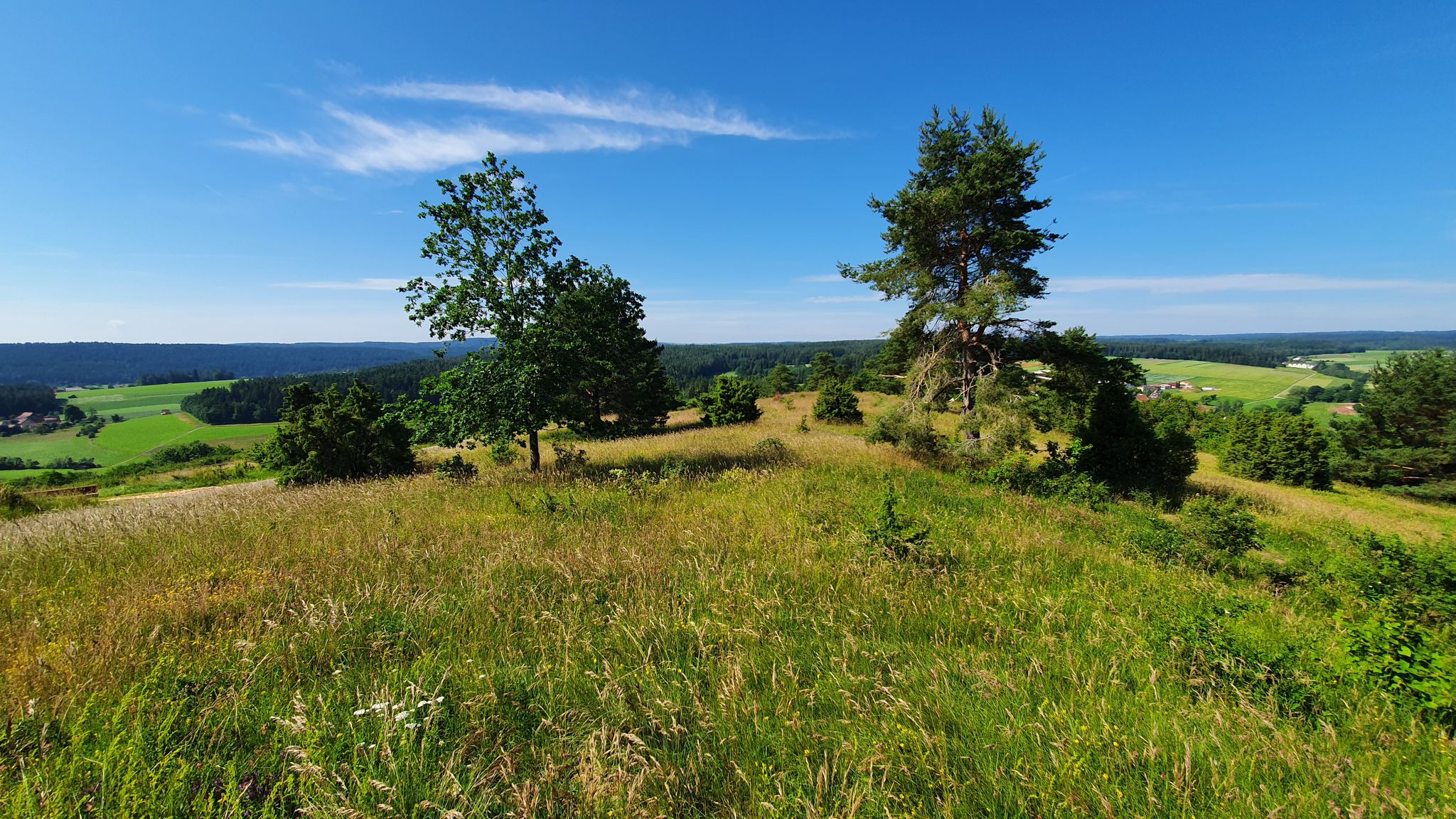
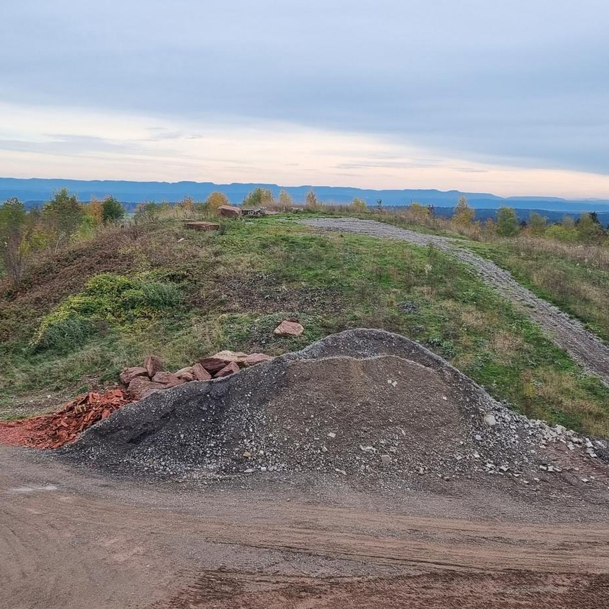
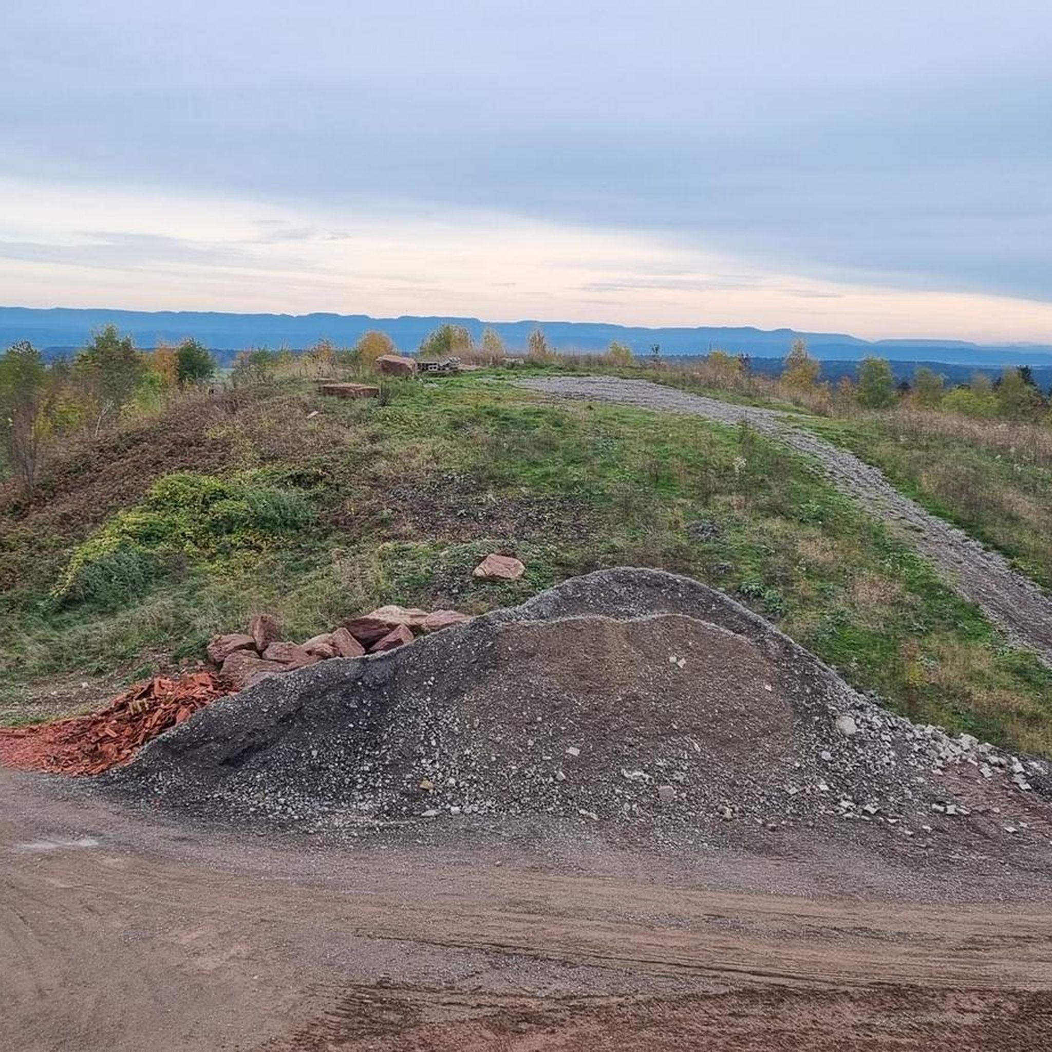
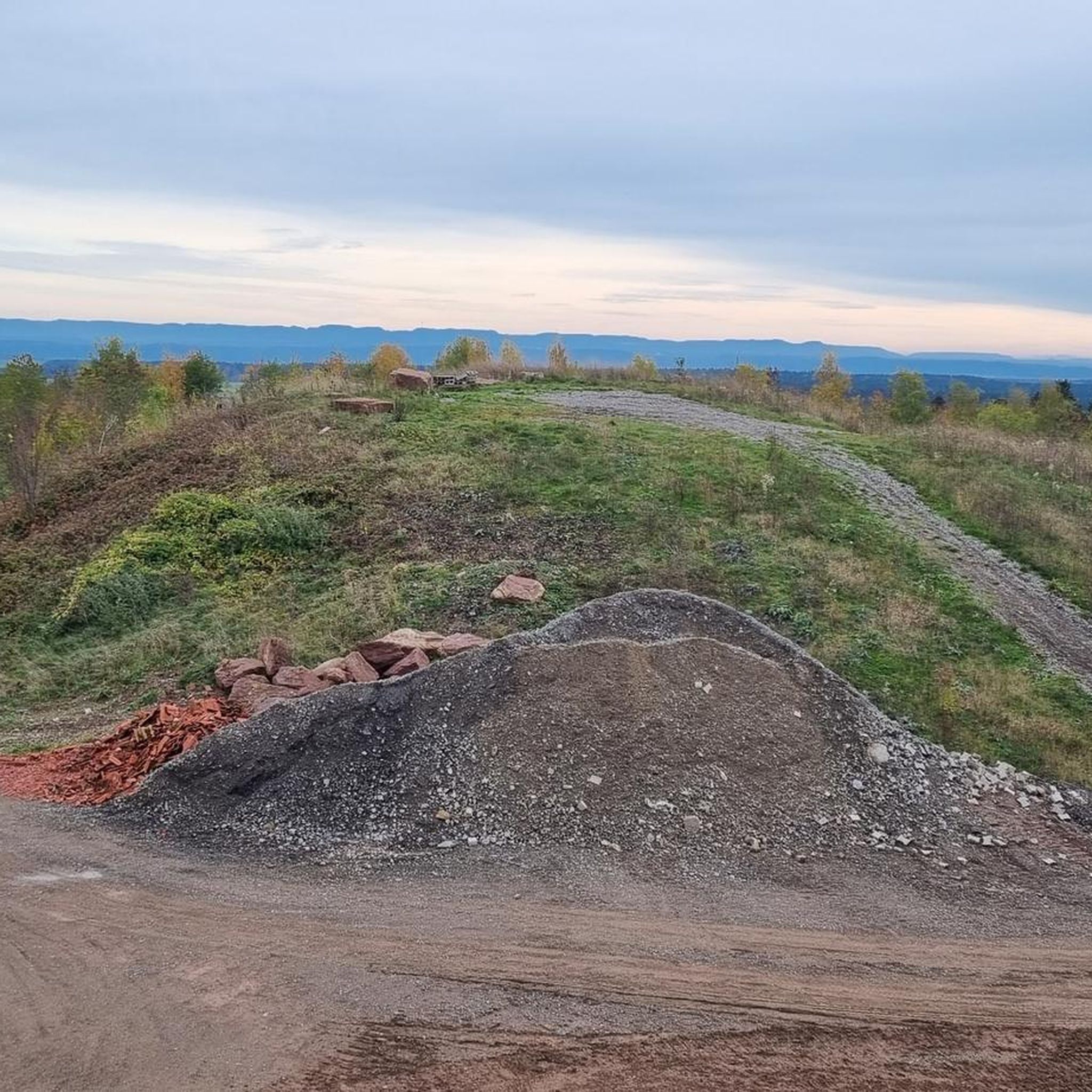

Other adventures around Waldachtal

Tips from the Community

The Schütteturm tower over Horb: A panoramic view is the reward for the steep climb via the Stations of the Cross. Those who wish can ring the bells in the Ottilien Chapel – it is next to the tower.
4
0

My wife looks up and says I want to look down 🤷♂️🤪
7
1
The chapel is open. Take your time to read the plaques - they explain the background of the Ottilien Chapel. If you want, you can pull the rope and ring the bells.
17
0

Beautiful viewpoint towards Freudenstadt
1
0

Closed in the winter months
9
0

Although free, it is closed in winter for safety reasons
13
0

The 35 m high Bailiwick Tower in Lossburg on the Rodterhöhe was built in 2002 to mark the 100th anniversary of the Black Forest Association of the Lossburg local group. Untreated Douglas fir wood was used for the construction of the observation tower in the Black Forest. The stair treads are made of galvanized steel. Visitors can climb the Vogteiturm on the 172 steps to a panorama platform 31 meters high. When the weather is good, a far-reaching view opens up over the Black Forest, Swabia, the Neckar foreland to the Swabian Jura. Source: https://www.schwarzwald-information.de/wandern-augenblicke/lossburg-zauberland-vogteiturm.html
9
0

One of the seven mountains on the 7-mountain circuit in Nagold
2
0
Frequently Asked Questions
What are the most prominent elevated points and viewpoints around Waldachtal?
While Waldachtal is characterized by rolling hills rather than towering alpine peaks, several elevated points offer scenic vistas. Popular spots include Königskanzel Viewpoint, known for its wide views where you can even see the Hornisgrinde on clear days. Another significant location is Friedrich Tower and Café Friedrichs, where you can climb the tower for panoramic views of Freudenstadt and the surrounding mountains.
Are there any historical sites on elevated ground near Waldachtal?
Yes, the region offers several historical sites with elevated positions. The Friedrich Tower, built in 1899, is a historical landmark offering views. Additionally, the Ottilien Chapel and Schütteturm near Horb provide an enchanting view of the city and the Neckar valley from their elevated location. The Schütteturm itself is a historic observation tower dating back to 1422.
What kind of hiking trails can I find around the elevated areas of Waldachtal?
Waldachtal is an excellent starting point for various hikes, including challenging mountain trails and leisurely walks through dense forests. The region boasts 140 km of well-signposted hiking trails. Many trails lead to elevated viewpoints or summits like Ziegel/Steinberg on the 7 Mountains Trail, which features an information board detailing the path. You can find more hiking options in the hiking guides for Waldachtal.
Are there family-friendly elevated points or trails in Waldachtal?
Yes, several elevated points and trails are suitable for families. The Königskanzel Viewpoint is considered family-friendly, offering wide views. The area around Friedrich Tower and Café Friedrichs is also family-friendly, where visitors can climb the tower and enjoy refreshments at the café.
What outdoor activities can I do near the elevated points of Waldachtal besides hiking?
Beyond hiking, Waldachtal offers various cycling opportunities. You can explore gravel biking routes, such as those found in the Gravel biking around Waldachtal guide. There are also numerous options for general cycling, including routes like the 'Bösingen Water House – Waldach Cycle Path loop', detailed in the Cycling around Waldachtal guide, and dedicated Road Cycling Routes around Waldachtal.
When is the best time to visit the elevated points and viewpoints in Waldachtal?
The best time to visit is generally from May to October. During this period, attractions like the Friedrich Tower are accessible, and local clubs often host pavilions at places like Hohennagold Castle Ruins on weekends, providing refreshments. Clear days during these months offer the best visibility for panoramic views.
Are there any cafes or places to eat near the elevated viewpoints?
Yes, you can find amenities near some of the elevated spots. Next to the Friedrich Tower, there is Café Friedrichs, offering delicious cakes and Swabian cuisine. The Königskanzel Viewpoint also has a campsite nearby where you can stop for refreshments.
What is the highest point within the Waldachtal municipality?
While specific named 'highest peaks' are not explicitly highlighted in Waldachtal, the region's elevation generally ranges between 550 and 700 meters above sea level. Elevated points like Ziegel/Steinberg on the 7 Mountains Trail reach an elevation of 533 meters above sea level, offering significant views.
Can I see the Swabian Alb from any viewpoints in Waldachtal?
Yes, on clear days, it is possible to see the Swabian Alb from certain elevated points. The Hohennagold Castle Ruins, located near Waldachtal, are noted for offering a wonderful view over Nagoldtal, and on clear days, the Swabian Alb is visible from this vantage point.
What is the Wolfsberg and what can I expect there?
The Wolfsberg (526 m) is one of the seven mountains on the 7-mountain circuit in Nagold. It is an elevated point that takes its name from the previously feared predator native to the region. While it is also an industrial area of Nagold, it offers a summit experience as part of a trail.
Are there any specific trails that connect multiple elevated points or historical sites?
Yes, the 'Four-Castle-Route Pfalzgrafenweiler' connects several medieval castle ruins, such as Vörbach, Mantelberg, Rüdenberg, and Pfalzgrafenweiler Castle. These ruins are located on elevated ground and offer views, providing a historical and scenic hiking experience. Additionally, the 7 Mountains Trail includes summits like Ziegel/Steinberg and Wolfsberg.
Most popular routes around Waldachtal
Most popular attractions around Waldachtal

Get inspired with the komoot mobile app


Explore more
See even more amazing summits around Waldachtal with these guides:
