The best road cycling routes in Huejotzingo
5.0
(7)
13
riders
2
rides
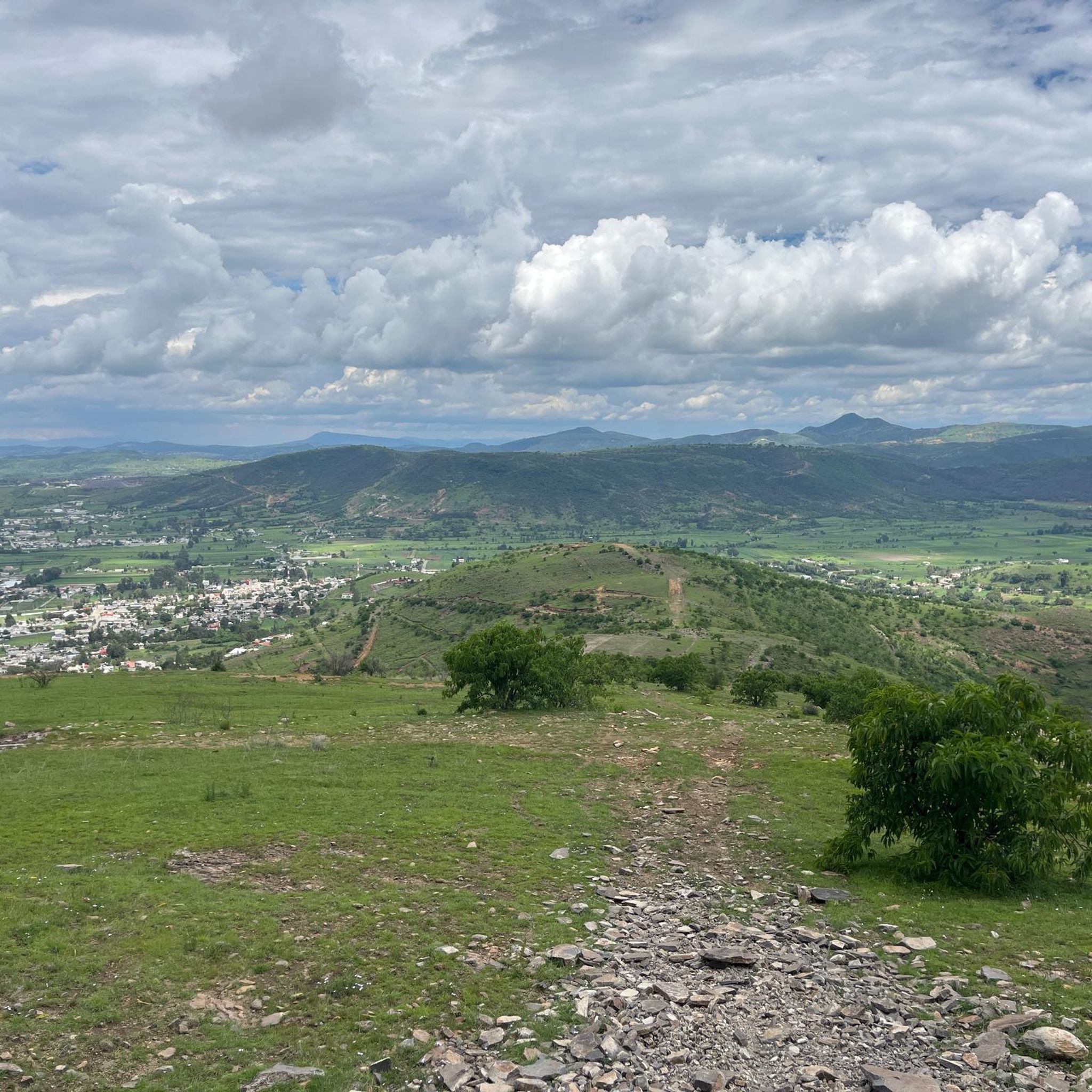
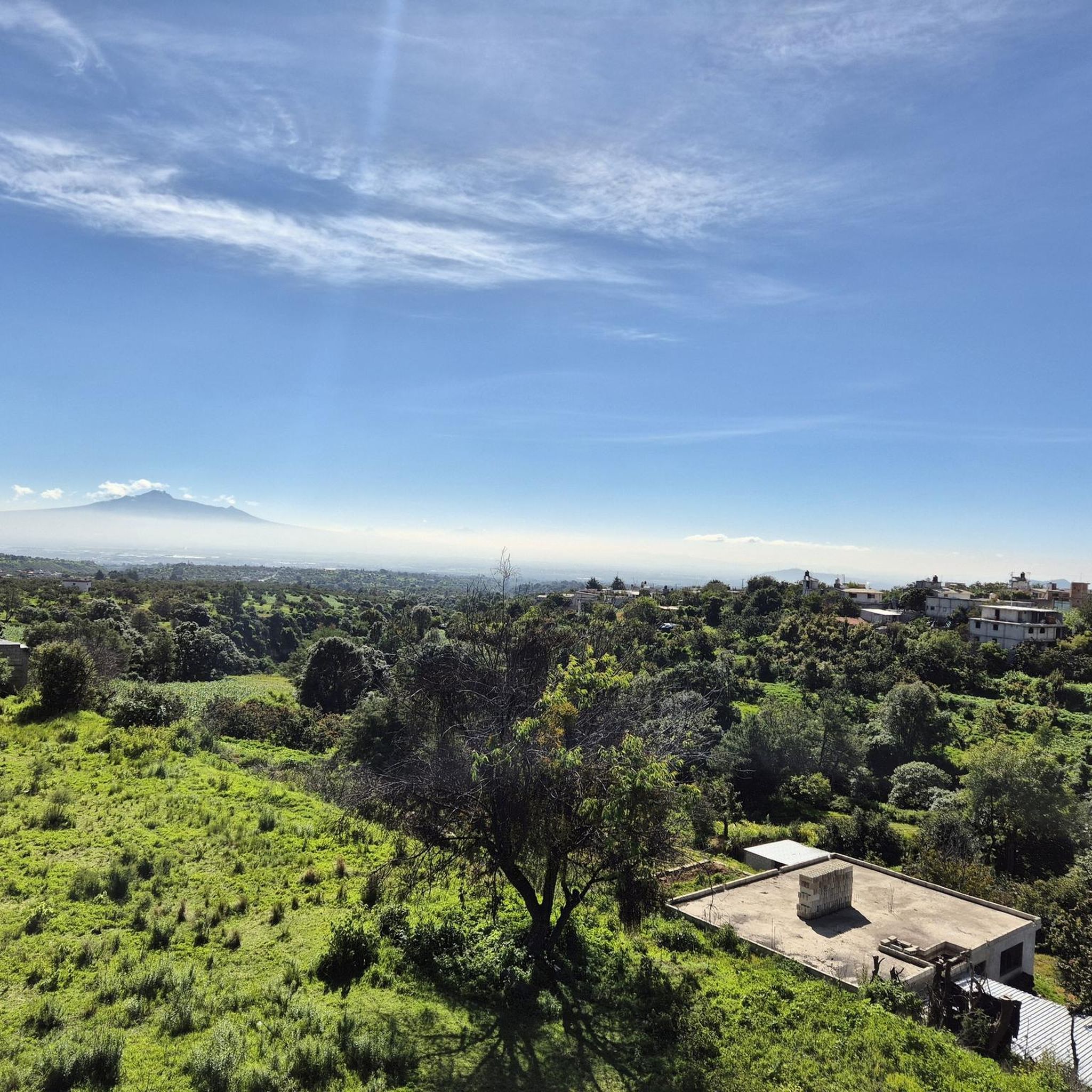
Road cycling in Huejotzingo, a region within the Trans-Mexican Volcanic Belt, offers varied terrain for cyclists. The area features flat plains in its eastern parts, transitioning into rolling hills and higher altitudes on the slopes of the Sierra Nevada. This topography provides routes with elevation changes, set against the backdrop of the Popocatépetl and Iztaccíhuatl volcanoes. The region's network of mostly paved surfaces supports diverse road cycling experiences.
Best road cycling routes in Huejotzingo
- The most popular road cycling route…
Last updated: July 2, 2026
5.0
(3)
4
riders
34.3km
01:31
240m
240m
Easy road ride. Great for any fitness level. Mostly well-paved surfaces and easy to ride.
2
riders
30.7km
01:19
210m
210m
Easy road ride. Great for any fitness level. Mostly well-paved surfaces and easy to ride.

Sign up for free
5.0
(1)
3
riders
43.9km
01:55
280m
280m
Easy road ride. Great for any fitness level. Mostly well-paved surfaces and easy to ride.
5.0
(2)
2
riders
Easy road ride. Great for any fitness level. Mostly well-paved surfaces and easy to ride.
5.0
(1)
2
riders
Moderate road ride. Good fitness required. Some segments of this route may be unpaved and difficult to ride.
Our route recommendations are based on thousands of hikes, rides, and runs completed by other people on komoot.
Start today with a free account
Your next adventure awaits.
Login or Signup
Popular around Huejotzingo

Tips from the Community


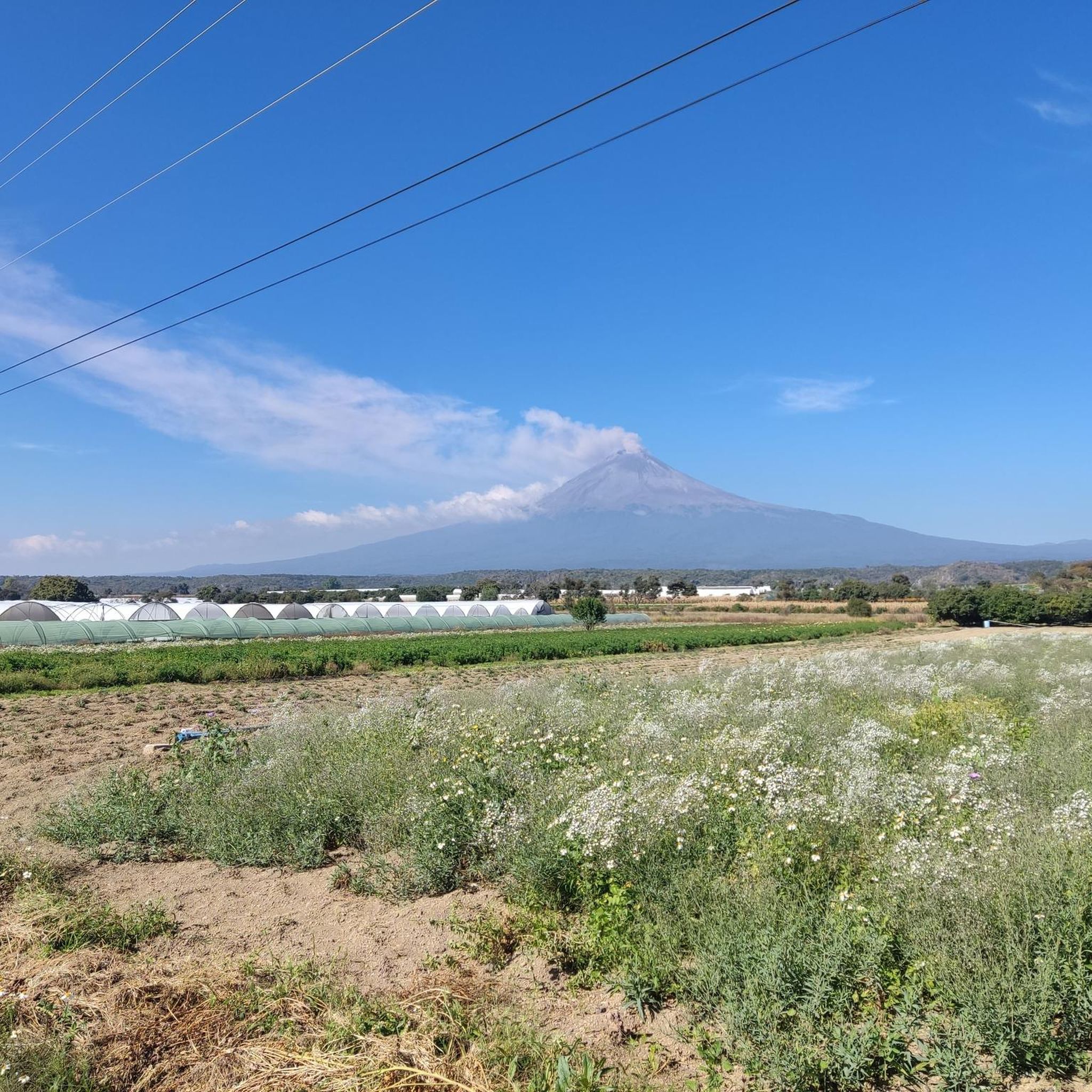
Section with perfect view of the volcanoes
0
0

Frequently Asked Questions
What kind of terrain can I expect on road cycling routes in Huejotzingo?
Huejotzingo's road cycling routes offer a diverse landscape, transitioning from flat plains in the east to rolling hills and higher altitudes on the slopes of the Sierra Nevada. You'll find mostly paved surfaces, though some segments might include unpaved sections, providing varied challenges.
Are there routes with significant elevation gain in Huejotzingo?
Yes, situated within the Trans-Mexican Volcanic Belt and on the slopes of the Sierra Nevada, Huejotzingo features routes with considerable elevation changes. Cyclists can expect to ride at altitudes of 8,000 to 9,000 feet, which adds to the challenge due to thinner air.
What are some notable natural features or landmarks along the cycling routes?
Many routes offer stunning views of the majestic Popocatépetl and Iztaccíhuatl volcanoes. The View of the Volcanoes loop from Cholula is specifically designed for these panoramic vistas. Additionally, Cerro Zapotecas is a natural landmark integrated into some popular cycling routes.
Are there any easy road cycling routes suitable for beginners in Huejotzingo?
Yes, Huejotzingo offers several easy routes. For instance, the View of the Volcanoes loop from Cholula is an easy 30.7 km path. Other easy options include the El Calvario loop from Zacatelco, the Parque San Miguel loop from Villa Alta, and the Parque San Miguel loop from Santa Ana Nopalucan.
What is the best time of year to go road cycling in Huejotzingo?
While specific seasonal recommendations can vary, the region's climate generally supports cycling throughout much of the year. However, given the higher altitudes, it's advisable to check local weather forecasts, especially for potential rain or cooler temperatures at elevation, before planning your ride.
What do other road cyclists enjoy most about cycling in Huejotzingo?
The area is highly rated by the komoot community, with an average score of 4.9 stars from over 10 reviews. Cyclists frequently praise the varied terrain, the stunning volcanic scenery, and the network of routes that cater to different ability levels.
Are there any cultural or historical points of interest accessible by bike?
Yes, some routes pass by significant cultural sites. For example, the Xochitecatl Pyramid – Xochitecatl Archaeological Zone loop from Texmelucan traverses areas featuring archaeological sites. The Ex-Convent of San Miguel Arcángel, a UNESCO World Heritage site, is also a notable historical landmark in the region that can be a compelling stop during a cycling tour.
Are there any challenging road cycling routes for experienced riders?
Yes, for experienced riders seeking a challenge, routes like the Parque San Miguel – Cacaxtla Archaeological Zone loop from San Martín Texmelucan offer significant elevation gains and longer distances, providing a more demanding experience.
Are there any loop routes available for road cycling in Huejotzingo?
Many of the road cycling routes in Huejotzingo are designed as loops, allowing you to start and end at the same point. Examples include the Xochitecatl Pyramid – Xochitecatl Archaeological Zone loop from Texmelucan and the View of the Volcanoes loop from Cholula.
What should I consider regarding gear for road cycling at higher altitudes in Huejotzingo?
Given that routes can reach 8,000 to 9,000 feet above sea level, be prepared for thinner air, which can make cycling more strenuous. It's advisable to bring appropriate hydration, sun protection, and layers of clothing, as temperatures can vary, especially with elevation changes.
Are there options for longer road cycling tours in the area?
Yes, for those looking for longer rides, routes like the Parque San Miguel – Cacaxtla Archaeological Zone loop from San Martín Texmelucan cover over 73 km, offering an extended cycling experience through varied landscapes.

Get inspired with the komoot mobile app


Explore more
Browse the best Road cycling routes in other regions.
