The best MTB trails in Huejotzingo
4.9
(28)
117
riders
4
rides
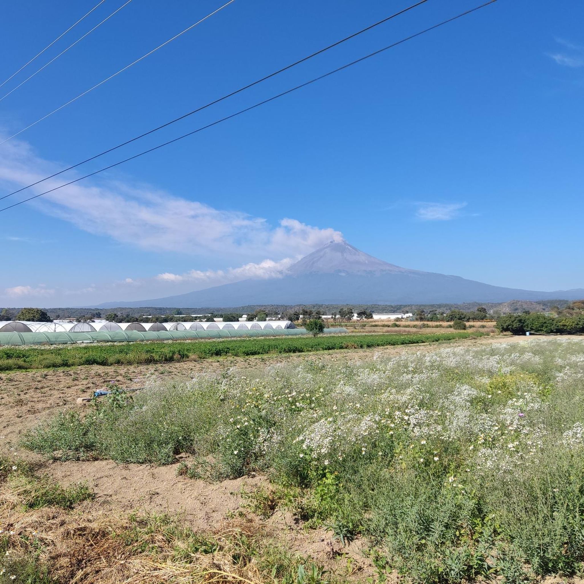
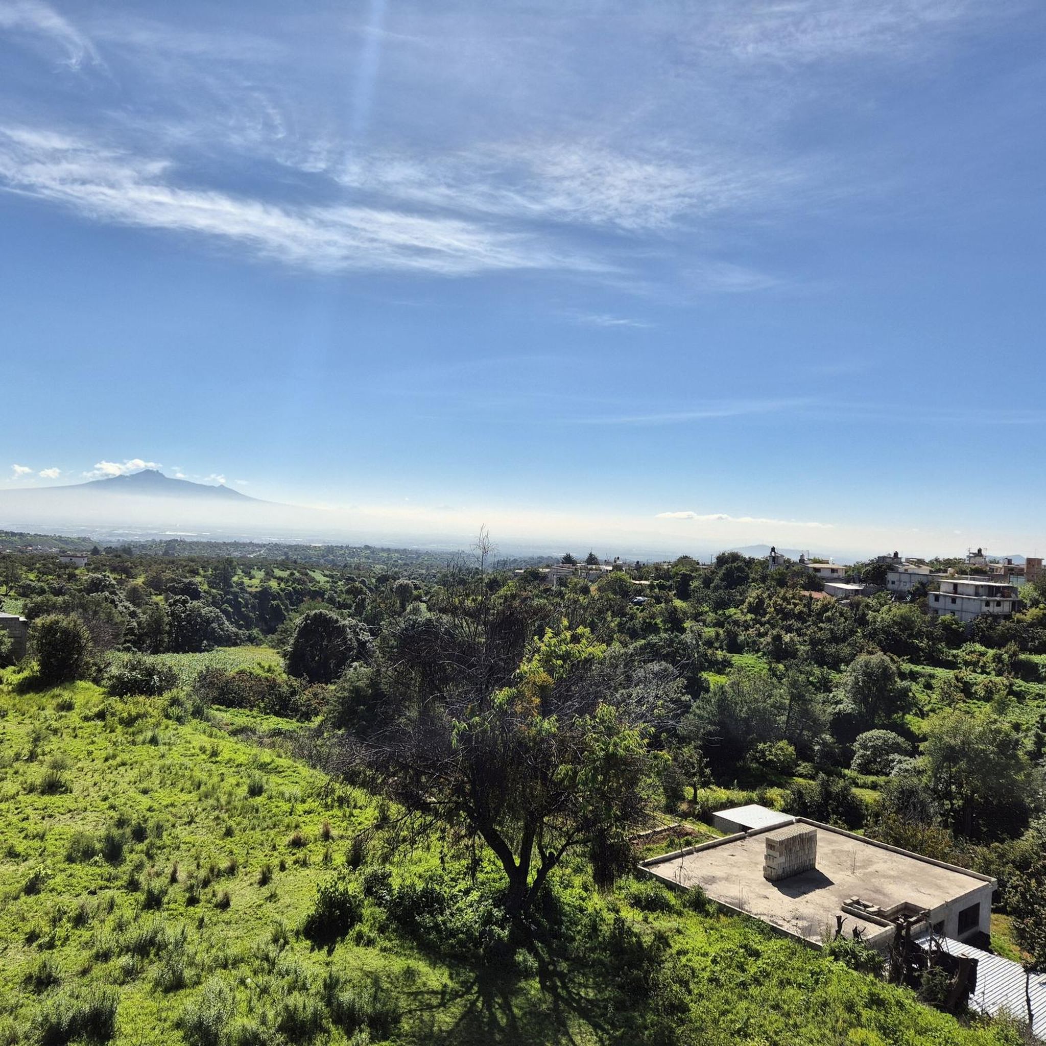
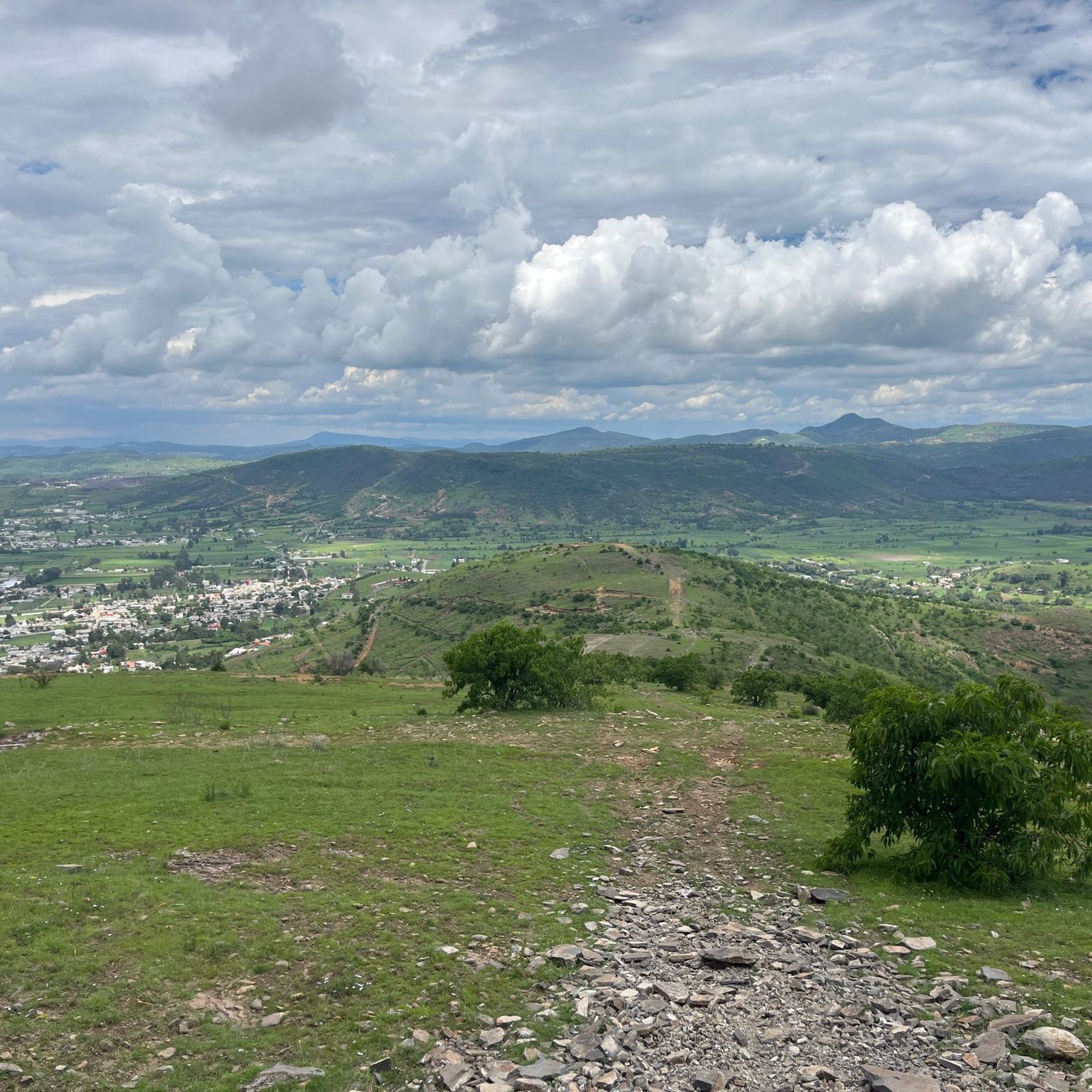
Mountain bike trails in Huejotzingo traverse a landscape characterized by rolling hills, volcanic terrain, and proximity to sections of the Sierra Nevada. The region offers varied elevations, with some areas ranging between 7,874 and 8,858 feet (2,400 and 2,700 meters) above sea level. This diverse topography provides a challenging and scenic environment for mountain biking.
Best mountain bike trails in Huejotzingo
- The most popular mountain bike trail is Refugio del Tejon loop from San Martín Texmelucan, a 24.9 miles…
Last updated: July 15, 2026
4.9
(16)
63
riders
15.4km
01:25
360m
360m
Moderate mountain bike ride. Good fitness required. Advanced riding skills necessary.
5.0
(2)
15
riders
15.6km
01:30
340m
340m
Hard mountain bike ride. Good fitness required. Advanced riding skills necessary. Some portions of the route may require you to push your bike.

Sign up for free
6
riders
6.07km
00:31
100m
100m
Moderate mountain bike ride. Great for any fitness level. Advanced riding skills necessary.
4.8
(4)
7
riders
40.0km
02:44
600m
600m
Moderate mountain bike ride. Good fitness required. Suitable for all skill levels.
2
riders
21.6km
01:18
150m
150m
Moderate mountain bike ride. Great for any fitness level. Advanced riding skills necessary.
3.0
(1)
2
riders
17.3km
00:52
30m
30m
Easy mountain bike ride. Great for any fitness level. Suitable for all skill levels.
3
riders
13.8km
01:03
190m
180m
Moderate mountain bike ride. Great for any fitness level. Advanced riding skills necessary.
2
riders
10.2km
00:46
140m
140m
Moderate mountain bike ride. Great for any fitness level. Advanced riding skills necessary.
31.5km
01:48
210m
210m
Easy mountain bike ride. Great for any fitness level. Suitable for all skill levels.
25.8km
01:34
140m
140m
Easy mountain bike ride. Great for any fitness level. Suitable for all skill levels.
Our route recommendations are based on thousands of hikes, rides, and runs completed by other people on komoot.
Start today with a free account
Your next adventure awaits.
Login or Signup

Tips from the Community

The route is mostly flat, I think it's about 50/50 asphalt and dirt road, but definitely seeing the mountain from afar and then standing right in front of it is the best thing that can happen to you. On this route, you have to be careful with drivers. On Sundays, you'll find a lot of cyclists, and even more on the mountain because it's a popular spot for fellow riders and motocross enthusiasts. Enjoy the place, stay hydrated, and always wear a helmet.
0
0

A monument depicting the passage of Spanish conquistador Hernán Cortés into the Valley of Mexico in 1520, mounted on a roundabout that provides access in several directions: Tlamacas (closed since the 1990s), Izta-Popo Refuge, Xalitzintla, Iztaccíhuatl, and San Pedro Nexapa. Its now-classic "Paso de Cortés" sign is a place where you can take a souvenir photo (of the achievement), which is currently obscure due to the countless stickers pasted by people from various cycling, motorcycling, mountaineering, and other clubs. Here, in addition to the beautiful view, you'll also find plenty of food on weekends; during the week, it's difficult to find supplies. The cold is usually very high, so always be prepared for the changes in mountain weather.
3
0

Almost exactly 4,000m From here you can't go any further by bike ... You really can't get any higher. Here it's time to walk and soon only continue with climbing equipment.
1
0
Popular destination for bike tours. We first set out around noon ... I'd rather leave in the morning. There is a drop in temperature at sunset.
1
0
Frequently Asked Questions
What do other mountain bikers say about the trails in Huejotzingo?
The mountain bike trails in Huejotzingo are highly rated by the komoot community, with an average score of 4.9 stars from over 20 reviews. More than 120 mountain bikers have used komoot to explore the region's varied terrain, often praising the diverse landscapes and challenging ascents.
How many mountain bike trails are available in Huejotzingo?
There are over 10 mountain bike trails available in Huejotzingo, catering to various skill levels from easy to difficult. These routes traverse rolling hills, volcanic terrain, and sections of the Sierra Nevada.
Are there mountain bike trails suitable for beginners or less experienced riders?
Yes, Huejotzingo offers trails suitable for less experienced riders. For example, the Lago loop from Zacatelco is an easy 10.7-mile route with relatively flat areas, often completed in under an hour. Another easy option is the Stone House Ascent – Cerro Clacuaquilo loop from Cholula, which covers 19.6 miles.
What kind of terrain and elevation can I expect on mountain bike trails in Huejotzingo?
You can expect a diverse range of terrain, including rolling hills, volcanic landscapes, and sections of the Sierra Nevada. Elevations vary significantly, with some areas ranging between 7,874 and 8,858 feet (2,400 and 2,700 meters) above sea level. Trails can feature technical sections, tight curves, varying inclinations, and significant elevation gains, especially on routes venturing into higher altitudes like those near Paso de Cortés.
Are there any challenging mountain bike trails for advanced riders?
Absolutely. Advanced riders seeking a challenge can tackle routes with significant elevation gains and technical sections. A notable difficult trail is the Paso de Cortés Monument – La Joya Pass – 4,000 m loop from Paso de Cortés, a 9.7-mile path that reaches high altitudes and features demanding ascents.
Can I find circular mountain bike routes in Huejotzingo?
Yes, many mountain bike routes in Huejotzingo are designed as loops, allowing you to start and finish in the same location. Examples include the Refugio del Tejon loop from San Martín Texmelucan, a 24.9-mile moderate trail, and the Stone House Ascent – Zapoteco Rest Point loop from Cholula, a moderate 9.6-mile ride.
What are some notable natural features or landmarks I might encounter on the trails?
The region's volcanic landscapes and its position within the Sierra Nevada foothills offer dramatic scenery. You might encounter prominent natural features like Cerro Zapotecas, which is a popular spot for mountain biking. Some routes also pass near cultural sites, such as the Cacaxtla Archaeological Zone, offering a blend of nature and history.
Are there any moderate mountain bike trails that offer a balanced challenge?
Yes, Huejotzingo has several moderate trails that provide a balanced challenge. The Refugio del Tejon loop from San Martín Texmelucan is a popular moderate 24.9-mile trail. Another option is the Stone House Ascent loop from Cholula, a shorter 3.8-mile moderate ride.
How long do mountain bike trails in Huejotzingo typically take to complete?
Trail durations vary widely depending on the route's length and difficulty. Shorter, easier loops like the Lago loop from Zacatelco can be completed in under an hour. Longer, more challenging routes, such as the Refugio del Tejon loop from San Martín Texmelucan (24.9 miles), typically take around 2 hours 44 minutes.
Can I combine mountain biking with cultural exploration in Huejotzingo?
While not explicitly cultural tours, some cycling routes in the broader Puebla state, which includes Huejotzingo, pass near significant historical sites. For instance, the 'Zona Arqueológica de Cacaxtla – Valquirico circuit' (mentioned in regional research) offers opportunities to combine your ride with a visit to the Cacaxtla Archaeological Zone, allowing for a unique blend of outdoor activity and cultural immersion.
What is the highest elevation I might reach on a mountain bike trail in Huejotzingo?
Some trails in the Huejotzingo area can take you to very high altitudes. Routes venturing towards the Paso de Cortés, such as the Paso de Cortés Monument – La Joya Pass – 4,000 m loop from Paso de Cortés, can reach over 13,123 feet (4,000 meters) above sea level, offering a challenging high-altitude experience.

Get inspired with the komoot mobile app


Explore more
Browse the best MTB trails in other regions.
