The best running trails around Widdrington Station And Stobswood
4.6
(17)
3,632
runners
12
runs
Jogging around Widdrington Station And Stobswood offers a varied landscape, characterized by coastal paths, natural reserves, and woodlands. The region features a mix of generally level surfaces and steeper elevations, providing diverse challenges for runners. Former mining areas have been reclaimed into nature reserves with artificial lakes, adding unique points of interest. This blend of natural and historical features creates a distinctive environment for running.
Best jogging routes around Widdrington Station And Stobswood
- The most popular jogging route is Warkworth…
Last updated: July 9, 2026
7
runners
8.08km
00:50
40m
40m
Moderate run. Good fitness required. Mostly paved surfaces. Suitable for all skill levels.
4
runners
7.40km
00:53
140m
140m
Moderate run. Good fitness required. Mostly paved surfaces. Suitable for all skill levels.

Sign up for free
4
runners
8.78km
01:02
150m
150m
Moderate run. Good fitness required. Mostly paved surfaces. Suitable for all skill levels.
5.0
(1)
3
runners
16.1km
01:43
90m
90m
Hard run. Very good fitness required. Mostly paved surfaces. Suitable for all skill levels.
4
runners
15.3km
01:36
60m
60m
Hard run. Very good fitness required. Mostly paved surfaces. Suitable for all skill levels.
Get access to more routes and recommendations from other explorers.
Sign up for free
Already have an account?
Our route recommendations are based on thousands of hikes, rides, and runs completed by other people on komoot.
Start today with a free account
Your next adventure awaits.
Login or Signup
Tips from the Community


In 1935, Cresswell became connected to the mains water supply, marking a significant development in the community's access to water. Before this connection, villagers relied on a well as their water source. In 2019, residents took initiative to restore the well to operational status. Notably, the well is integrated into the boundary wall of the Pele tower, a structure classified as Grade II listed.
0
0
The garden provided fruit, vegetables and cut flowers for Cresswell hall.
0
0
Built in the late 1300's by the Creswell family to defend against attacks from Border Reivers. The tower has been restored 2019-20 and is open to the public.
0
0

Nice food and nice place to sit after a long walk. We had to wait 45 mins for food as we hit it at 12:30 and it was heaving.
0
0

Frequently Asked Questions
What kind of terrain can I expect on running routes around Widdrington Station and Stobswood?
The region offers a diverse landscape for runners, featuring a mix of generally level surfaces, coastal paths, and woodlands. You'll also find some steeper elevations, particularly to the west, reaching up to 70 meters (230 ft) above ordnance datum, providing varied challenges. Former mining areas have been reclaimed into nature reserves with artificial lakes, adding unique points of interest and varied ground.
Are there running routes suitable for beginners or those looking for an easy jog?
Yes, there are routes suitable for various fitness levels. The area offers 2 easy routes and 6 moderate routes. For a moderate option, consider the The Widdy Chip Shop loop from Widdrington Station and Stobswood, which is about 5.1 km (3.2 miles) long and relatively flat.
Can I find longer, more challenging running trails in the area?
Absolutely. For experienced runners seeking a challenge, there are 5 difficult routes available. The longest is the Warkworth Bridge – View of the Lake loop from Widdrington, a substantial 42.2 km (26.2 miles) trail with significant elevation changes, offering extensive lake views and varied terrain.
Are there any running routes that pass through ancient woodlands or forests?
Yes, you can enjoy a run through historical woodlands. The Grangewood Ancient Forest loop from Widdrington is a moderate 8.0 km (5.0 miles) path that leads through ancient trees and the scenic Howburn valley, offering a glimpse into the area's past.
What natural features or landmarks can I see while jogging in Widdrington Station and Stobswood?
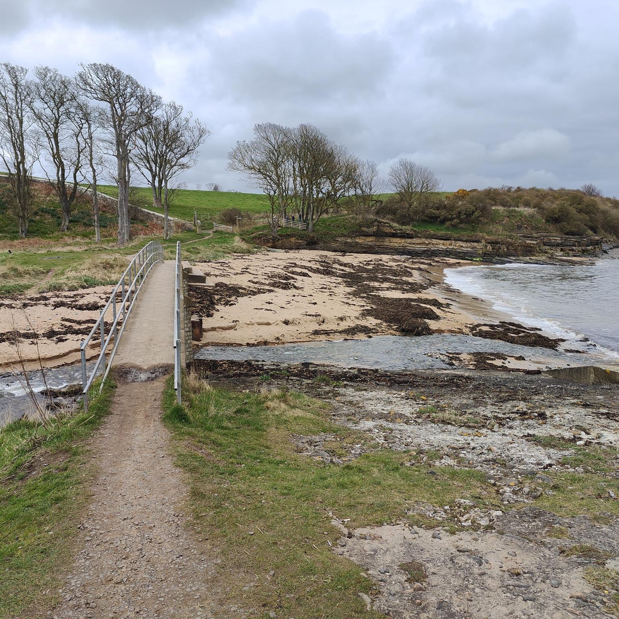
The region is rich in natural beauty and unique landmarks. You can jog along the pristine sandy coastline of Druridge Bay Country Park, explore nature reserves with artificial lakes, or discover the preserved 'Ace of Spades' dragline bucket, a unique reminder of the area's mining heritage, situated amidst two lakes teeming with birds and dragonflies. You might also spot Ladyburn Lake or Cresswell Pond.
Are there any family-friendly running routes or places to jog with kids?
Many of the reclaimed nature reserves with artificial lakes are popular with families and offer gentle, level surfaces ideal for a leisurely jog or walk with children. These areas provide a safe and scenic environment for outdoor activity. While specific 'kids' routes aren't listed, the easier and moderate loops, especially those around parks, are generally suitable.
Are the running trails around Widdrington Station and Stobswood dog-friendly?
Yes, the former mining areas transformed into nature reserves with artificial lakes are popular with dog walkers and are generally dog-friendly. Always ensure your dog is under control and check for any specific local signage regarding leash requirements, especially in nature reserve areas to protect wildlife.
What do other runners think about the jogging routes in Widdrington Station and Stobswood?
The running routes in Widdrington Station and Stobswood are highly rated by the komoot community, with an average score of 4.4 stars from 13 reviews. Over 3000 runners have used komoot to explore the varied terrain, often praising the diverse landscapes, from coastal paths to quiet woodlands and scenic lake views.
Are there any circular running routes available?
Yes, many of the routes in the area are designed as loops, offering circular running experiences. Examples include the Ulgham Meadow loop from Widdrington Station and Stobswood, a 7.4 km (4.6 miles) trail through meadows, and The Widdy Chip Shop loop from Widdrington, an 8.8 km (5.5 miles) moderate option.
Can I combine my run with a visit to historical sites or castles?
While Bothal Castle is a private residence, its ruins offer fantastic views from the village of Bothal, which can be a destination during a longer run or walk. The village itself, with its 12th-century Church of Saint Andrew, provides picturesque countryside along the River Wansbeck, perfect for extending your outdoor activity.
Where can I find parking for the running trails?
While specific parking details for each route are best checked on the individual komoot tour pages, areas like Druridge Bay Country Park and other nature reserves typically offer designated parking facilities. For routes starting directly from Widdrington Station or Stobswood, local parking options may be available.
Is public transport available to access the running routes?
Widdrington Station has a train station, providing access to the area. For specific routes, local bus services may connect to nearby villages or points of interest. It's advisable to check local transport schedules for the most up-to-date information on reaching your desired starting point.
Most popular routes around Widdrington Station And Stobswood
Most popular attractions around Widdrington Station And Stobswood

Get inspired with the komoot mobile app


Explore more
Browse the best Running Trails & Routes in other regions.
