The best MTB trails around Stanwick St. John
4.8
(9)
52
riders
5
rides
Mountain biking around Stanwick St. John offers a variety of routes through a landscape characterized by rolling hills, riverside paths, and historical sites. The region features a mix of open countryside and areas near local towns, providing diverse terrain for mountain bikers. Many routes incorporate sections along rivers like the Skerne, offering scenic views and varied surfaces.
Best mountain bike trails around Stanwick St. John
- The most popular mountain bike trail is Richmond Town Centre – Ruins of Easby Abbey…
Last updated: September 1, 2026
4.3
(4)
14
riders
28.0km
01:36
120m
120m
Easy mountain bike ride. Great for any fitness level. Suitable for all skill levels.
5.0
(2)
9
riders
15.2km
01:16
260m
260m
Moderate mountain bike ride. Great for any fitness level. Advanced riding skills necessary.

Sign up for free
2
riders
36.0km
02:55
560m
560m
Moderate mountain bike ride. Good fitness required. Advanced riding skills necessary.
5.0
(2)
3
riders
19.2km
01:34
310m
310m
Moderate mountain bike ride. Good fitness required. Suitable for all skill levels.
5
riders
42.7km
02:25
210m
210m
Moderate mountain bike ride. Good fitness required. Suitable for all skill levels.
Our route recommendations are based on thousands of hikes, rides, and runs completed by other people on komoot.
Start today with a free account
Your next adventure awaits.
Login or Signup

Tips from the Community

There are several of these trees that have been sculpted around Richmond, this one in the park has birds and other features
0
0


Fighting Cocks railway station was a railway station on the original route of the Stockton & Darlington Railway (S&DR)
0
0

Good place to rest a while and just take in the scenery it's tranquil and quiet.
0
0
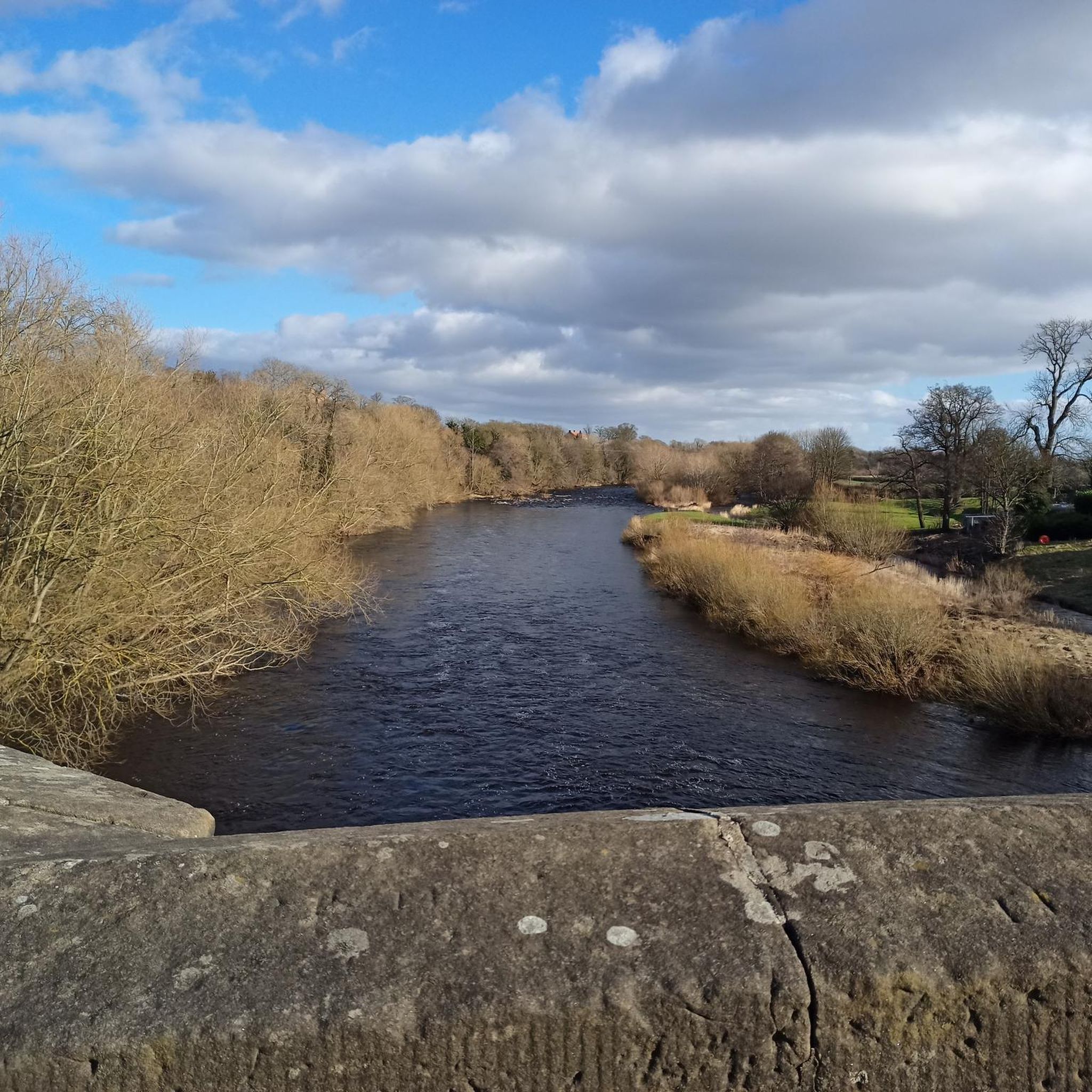
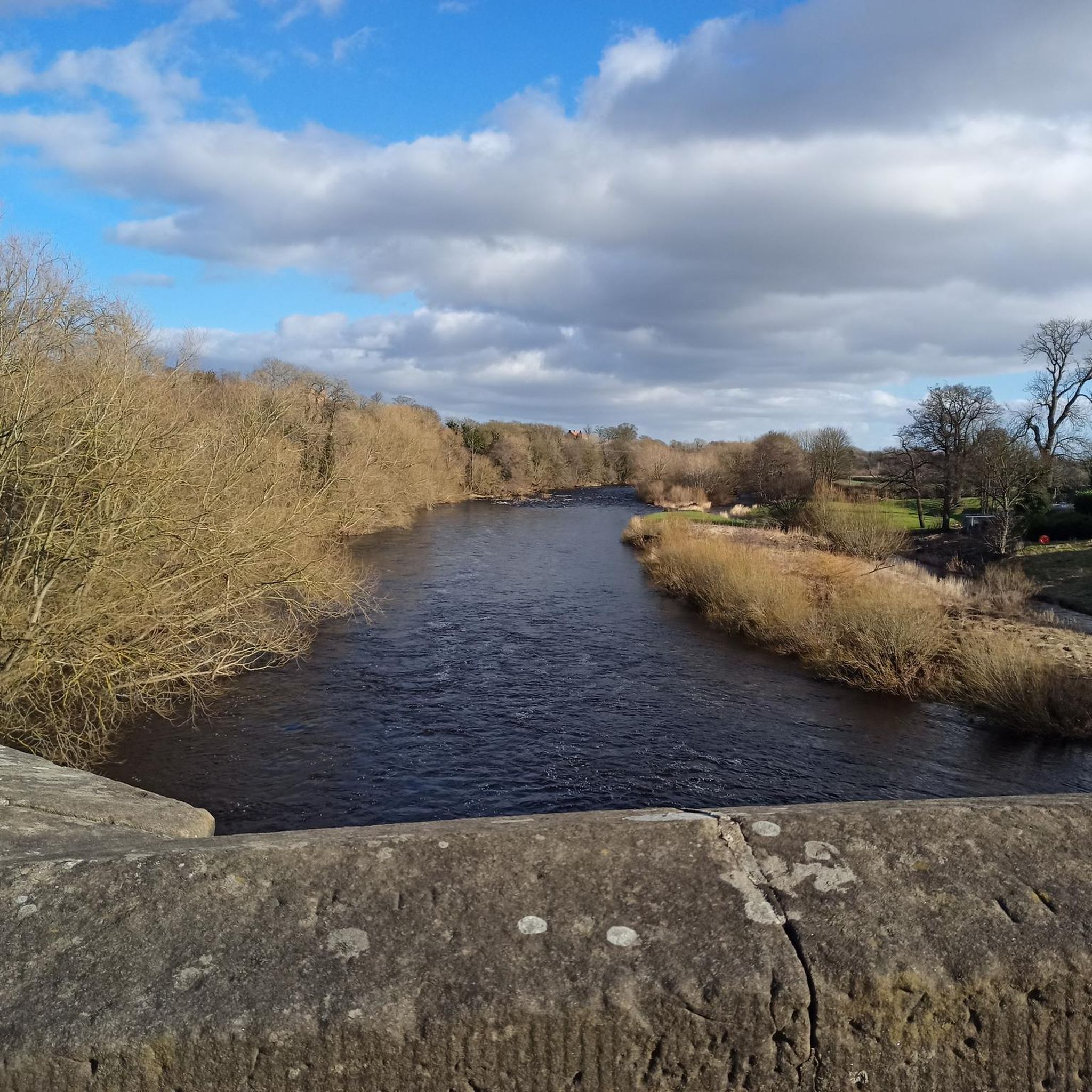
Skerne Bridge is the oldest railway bridge in the world still in continuous operation.
0
0
Great place to stop for a break when out cycling. Richmond market place has plenty of cafes and pubs, for bite to eat and a refreshing drink.
0
0
The Stockton and Darlington Railway bridleway near Middleton St George follows the route of the world's first public railway, connecting colliery areas near Shildon to Darlington and Stockton. The bridleway is a walking and cycling path that closely follows the original route of the 1825 railway.
0
0
Frequently Asked Questions
How many mountain bike trails are available around Stanwick St. John?
There are 5 mountain bike trails detailed in this guide for the Stanwick St. John area, offering a variety of experiences from easy riverside paths to more challenging routes through rolling hills.
Are there easy mountain bike trails suitable for beginners or families in Stanwick St. John?
Yes, there is one easy mountain bike trail in the area. The River Skerne – River Skerne in South Park loop from Stapleton is an easy 19.4 miles (31.2 km) route that follows the River Skerne, offering gentle gradients and open parkland scenery, making it suitable for beginners or a relaxed family ride.
What is the typical length of mountain bike trails near Stanwick St. John?
The mountain bike trails around Stanwick St. John vary in length. They range from 11.6 miles (18.6 km) for routes like the Harvey's loop from Darlington, up to 31.7 miles (51.1 km) for longer excursions such as the Piercebridge Village Green – Winston Bridge loop from Bolam.
Are there any circular mountain bike routes in Stanwick St. John?
Yes, all the mountain bike routes highlighted in this guide are circular loops. This includes trails like the Richmond Town Centre – Ruins of Easby Abbey loop from Middleton Tyas and the The Stang – Cyclists' Cake and Water Stop loop from Hutton Magna, allowing you to start and finish at the same point.
What kind of terrain can I expect on mountain bike trails around Stanwick St. John?
The terrain around Stanwick St. John is diverse, featuring rolling hills, scenic riverside paths, and open countryside. Many routes incorporate sections along rivers like the Skerne, providing varied surfaces and views. You'll find a mix of natural trails and paths near local towns.
What can I see along the mountain bike trails around Stanwick St. John?
Many trails pass by historical sites and natural beauty. For instance, the Richmond Town Centre – Ruins of Easby Abbey loop from Middleton Tyas explores historical areas and river valleys, including the Ruins of Easby Abbey. Other routes might bring you close to landmarks like the Whorlton Suspension Bridge or Richmond Market Town and Castle.
Are there any cafes or pubs near the mountain bike trails for a break?
Yes, some routes pass near villages or towns where you can find amenities. For example, the Eppleby Village Shop & Tea Room is a highlight that could be incorporated into a ride, offering a convenient stop for refreshments.
What do other mountain bikers enjoy most about mountain biking in Stanwick St. John?
The mountain biking routes in Stanwick St. John are highly rated by the komoot community, with an average score of 4.6 stars from more than 7 reviews. Riders often praise the varied terrain, the scenic riverside paths, and the historical landmarks encountered along the way.
When is the best time of year for mountain biking in Stanwick St. John?
The region's rolling hills and riverside paths are generally enjoyable throughout the warmer months, from spring to autumn. While specific winter conditions can vary, some trails may become muddy or less accessible. Always check local weather conditions before heading out.
Are there any advanced or challenging mountain bike trails in the area?
This guide primarily features moderate routes, with the longest and most elevation-gaining being The Stang – Cyclists' Cake and Water Stop loop from Hutton Magna, which covers 28 miles (45 km) with over 800 meters of elevation gain. While there are no trails classified as 'difficult' in this selection, these moderate routes offer a good challenge for experienced riders.
Most popular attractions around Stanwick St. John

Get inspired with the komoot mobile app


Explore more
Browse the best MTB trails in other regions.
