The best running trails around Bowland Forest High
5.0
(1)
89
runners
13
runs
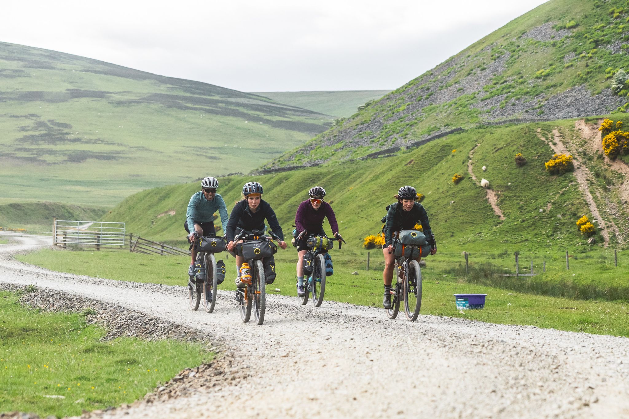
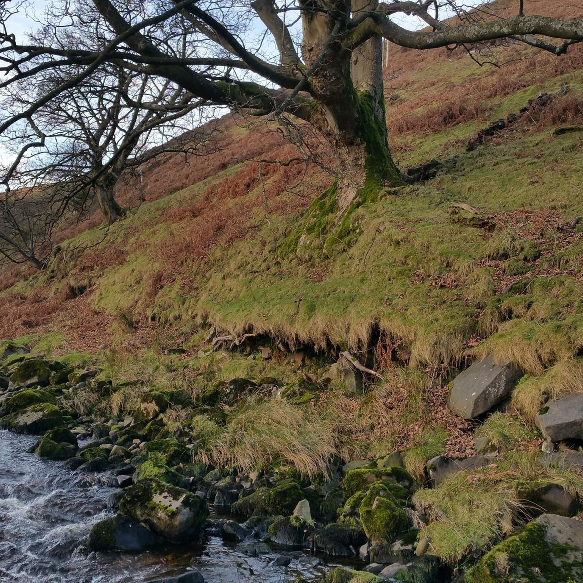
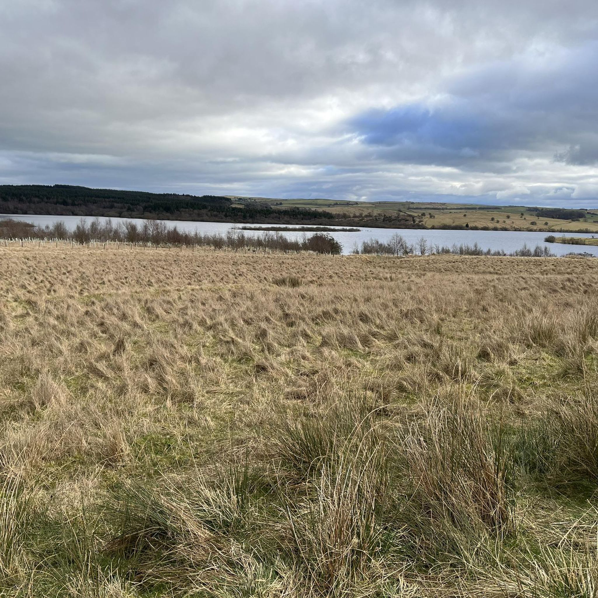
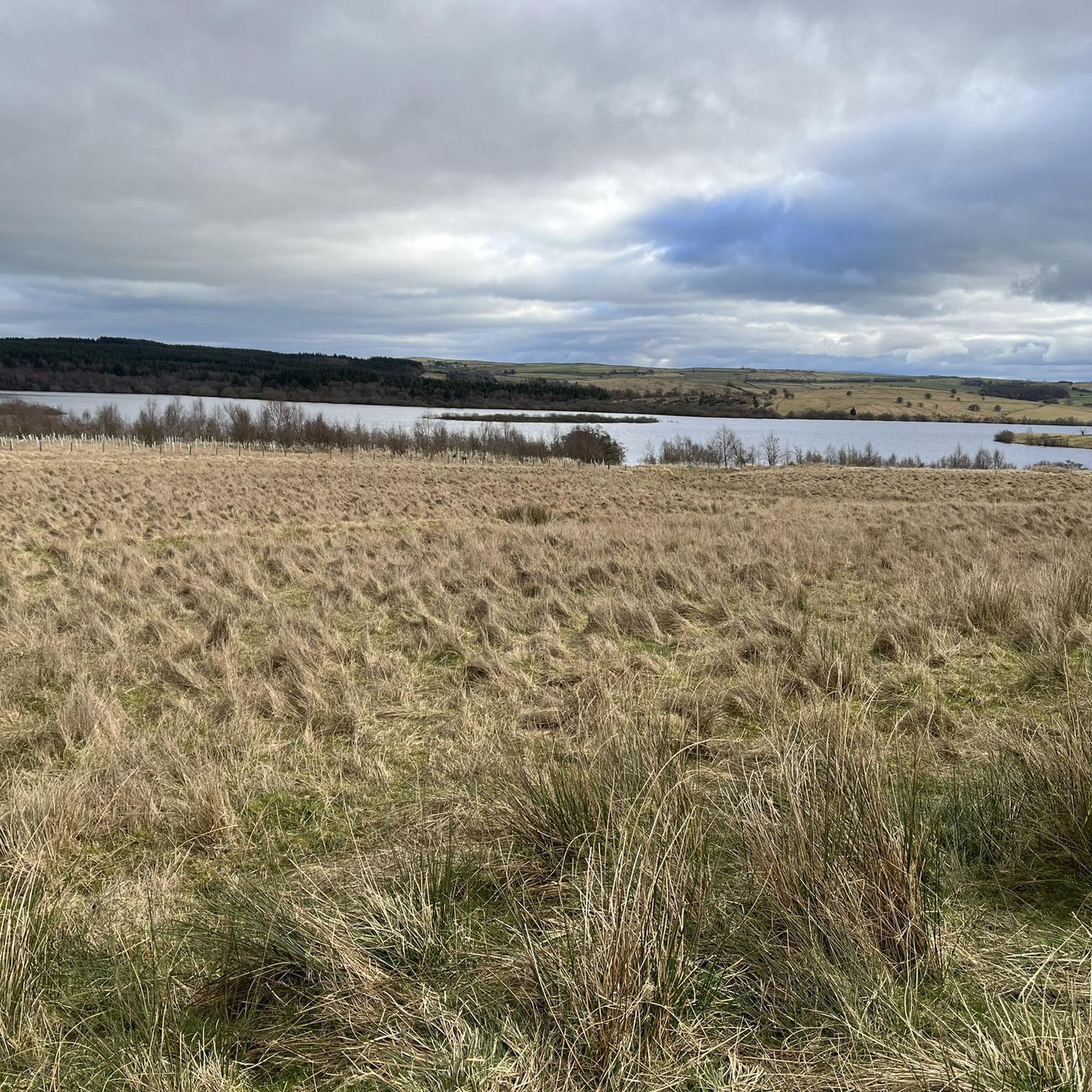
Jogging around Bowland Forest High offers a diverse environment for outdoor activity. The region is characterized by expansive gritstone fells, deep valleys, and peat moorland, providing a sense of wildness. Its landscape also features prominent hills like Ward's Stone and Pendle Hill, alongside picturesque river valleys such as the River Hodder. Semi-natural woodlands and wildflower meadows add to the area's ecological richness, creating varied terrain for runners.
Best jogging routes around Bowland Forest High
- The most popular jogging route is…
Last updated: June 23, 2026
10
runners
18.1km
02:12
390m
390m
Hard run. Very good fitness required. Mostly accessible paths. Some sure footedness required.
5.0
(1)
18
runners
6.47km
00:49
130m
130m
Moderate run. Good fitness required. Mostly paved surfaces. Suitable for all skill levels.

Sign up for free
12
runners
14.5km
01:45
400m
400m
Hard run. Very good fitness required. Mostly paved surfaces. Suitable for all skill levels.
6
runners
16.3km
02:10
430m
430m
Hard run. Very good fitness required. Mostly paved surfaces. Suitable for all skill levels.
11
runners
12.0km
01:18
160m
160m
Moderate run. Good fitness required. Mostly paved surfaces. Suitable for all skill levels.
Get access to more routes and recommendations from other explorers.
Sign up for free
Already have an account?
Our route recommendations are based on thousands of hikes, rides, and runs completed by other people on komoot.
Start today with a free account
Your next adventure awaits.
Login or Signup

Other adventures around Bowland Forest High

Tips from the Community

Circular walk starting from Wolfenden Hall public footpath then up the back of Fairsnape and down to the beginning of the walk.
0
0

This is marked as an intermediate walk which, in the main is accurate. The walk starts with a steep incline, well covered in the walk description. What is less documented is the subsequent decent which can be challenging for the novice/ intermediate walker. The path down is narrow and the potential fall severe. Please be aware. Other than that, the walk offers wonderful views after the initial climb and relatively sedate walk after decent.
0
0


The actual centre of the British Isles is roughly 4 miles from the village but it is a pretty village to visit on the banks of the River Hodder.
0
1
Friendly and nice cafe. Very helpful with directions etc…
1
0

🌿 The village is a gateway to stunning routes like the Trough of Bowland, Whin Fell, and along the River Dunsop. It’s perfect for peaceful countryside walks 📍 A phone box in the village marks the “exact center” of the United Kingdom, as determined by the Ordnance Survey. ☕ Puddleducks Café is great to grab a coffee and/or cakes at the start or end of your walk 🦌 The area is rich in wildlife, including deer, birds of prey, and rare wading birds, making it great for nature lovers. 🚴♂️ Also great pit-stop for cyclists heading through the Forest of Bowland’s quiet lanes and rolling hills
1
0

Pivot: Bowland Forest High CP, Langden Brook 551.4ft
0
0
Cut Mark: Bowland Forest High CP, Langden Castle 743.7ft
0
0
Frequently Asked Questions
How many running routes are available in Bowland Forest High?
Komoot features 13 running routes in Bowland Forest High. These routes offer a diverse range of experiences, from moderate paths to more challenging trails, catering to various fitness levels.
What kind of terrain can I expect on the running trails in Bowland Forest High?
The running trails in Bowland Forest High offer a diverse mix of terrain. You'll encounter expansive gritstone fells, deep valleys, and peat moorland, providing a sense of wildness. Many routes also feature picturesque river valleys like the River Hodder, semi-natural woodlands, and wildflower meadows. Expect a variety of surfaces, including riverside paths, moorland sections (which can be boggy after rain), paved sections, vehicle tracks, and flowing trails.
Are there running routes suitable for beginners in Bowland Forest High?
While many routes in Bowland Forest High are moderate to difficult, there are options suitable for those looking for an easier run. For example, the Langden Valley – Cut Mark at Langden Castle loop from Langden Brook is a moderate 4.0-mile (6.5 km) path, offering a pleasant run through the Langden Valley that's suitable for a quicker, less strenuous outing.
What are some challenging running routes for experienced runners?
For experienced runners seeking a challenge, Bowland Forest High offers several difficult routes. The Dunsop Bridge & River Hodder loop is an 11.2-mile (18.1 km) trail with significant elevation gain. Another demanding option is the Totridge Summit (496 m) – Fair Snape Fell Summit loop from Langden Brook, which covers 16.3 miles (26.2 km) and includes ascents to prominent peaks.
Are there any circular running routes in Bowland Forest High?
Yes, many of the running routes in Bowland Forest High are circular, allowing you to start and end at the same point. Examples include the popular Dunsop Bridge & River Hodder loop and the View of the Forest of Bowland – Puddle Ducks loop from Dunsop Bridge.
What natural features or landmarks can I see while running in Bowland Forest High?
Bowland Forest High is rich in natural beauty and landmarks. You can expect to see dramatic gritstone fells, deep valleys, and picturesque river valleys like the River Hodder. Prominent hills such as Ward's Stone, Pendle Hill, Clougha Pike, Fair Snape Fell, and Parlick offer challenging ascents and panoramic views. The area also features semi-natural woodlands, wildflower meadows, and dry stone walls. You might even spot wildlife, including various birds of prey.
Are there any specific viewpoints along the running trails?
Yes, Bowland Forest High offers numerous viewpoints. Trails often lead to prominent hills like Ward's Stone, Pendle Hill, and Clougha Pike, providing stunning panoramic vistas. Specific highlights include Clougha Pike, Nicky Nook Summit, and the Ward's Stone Summit Trig Point, all offering exceptional views across the open moorland or over the Ribble Valley.
Is Bowland Forest High accessible by public transport for runners?
While some areas of Bowland Forest High are more remote, certain villages like Dunsop Bridge can be starting points for routes. Public transport options might be limited, so it's advisable to check local bus schedules to specific villages or trailheads before planning your run. Many visitors opt for personal vehicles to access the more secluded parts of the National Landscape.
Are there parking facilities available near the running routes?
Yes, parking facilities are generally available near popular starting points for running routes, especially in villages like Dunsop Bridge. However, for more remote trailheads, parking might be limited to small lay-bys or designated car parks. It's always recommended to check specific route details or local information for parking availability before your visit.
What do other runners enjoy the most about jogging in Bowland Forest High?
The running routes in Bowland Forest High are highly rated by the komoot community, with an average score of 5.0 stars. Runners often praise the area for its diverse and extensive trail network, the variety of terrain, and the stunning scenic views. The peace and seclusion offered by the unspoiled landscapes are also frequently highlighted, allowing runners to truly immerse themselves in nature.
Are the running trails in Bowland Forest High suitable for families?
While some routes require good fitness, Bowland Forest High does offer paths suitable for family-friendly outings. Look for routes described as 'easy' or 'moderate' that feature gentler gradients and less challenging terrain. These often follow riverside paths or through woodlands, providing a pleasant experience for all ages.
Can I bring my dog on the running trails in Bowland Forest High?
Many trails in Bowland Forest High are dog-friendly, allowing you to enjoy a run with your canine companion. However, as it's an Area of Outstanding Natural Beauty with significant wildlife and livestock, it's crucial to keep dogs under close control, especially near grazing animals or during nesting seasons for ground-nesting birds. Always follow local signage and the Countryside Code.
Are there places to get refreshments or food near the running routes?
Yes, you'll find welcoming pubs and cafés in the picturesque villages dotted throughout Bowland Forest High. Dunsop Bridge, often a starting point for many routes, is home to Puddleducks Tea House, a popular spot for refreshments. It's a good idea to plan your route to pass through or near these villages if you're looking for a break or a meal.
Most popular routes around Bowland Forest High
Most popular attractions around Bowland Forest High

Get inspired with the komoot mobile app


Explore more
Browse the best Running Trails & Routes in other regions.
