The best running trails around Mungrisdale
4.3
(7)
772
runners
34
runs
Jogging routes around Mungrisdale are set within the rugged northern fells of the Lake District. This region is characterized by imposing fells like Blencathra, Bowscale, and Carrock, offering challenging trail runs with significant elevation gain. Peaceful valleys such as Caldew Valley and Glenderaterra Valley provide more gentle running environments alongside attractive rivers and waterfalls. The area features a wide variety of trails, from accessible paths to demanding mountain routes, catering to different preferences and fitness levels.
Best jogging routes around…
Last updated: October 10, 2026
100
runners
7.15km
01:22
590m
590m
Hard run. Very good fitness required. Sure-footedness, sturdy shoes and alpine experience required.
5.0
(1)
163
runners
14.7km
02:23
830m
830m
Hard run. Very good fitness required. Sure-footedness, sturdy shoes and alpine experience required.

65
runners
14.6km
02:16
740m
740m
Hard run. Very good fitness required. Sure-footedness, sturdy shoes and alpine experience required.
76
runners
12.0km
01:56
680m
680m
Hard run. Very good fitness required. Sure-footedness, sturdy shoes and alpine experience required.
35
runners
20.0km
02:47
740m
740m
Hard run. Very good fitness required. Mostly paved surfaces. Suitable for all skill levels.
Get access to more routes and recommendations from other explorers.
Already have an account?
Our route recommendations are based on thousands of hikes, rides, and runs completed by other people on komoot.
Start today with a free account
Your next adventure awaits.
Tips from the Community

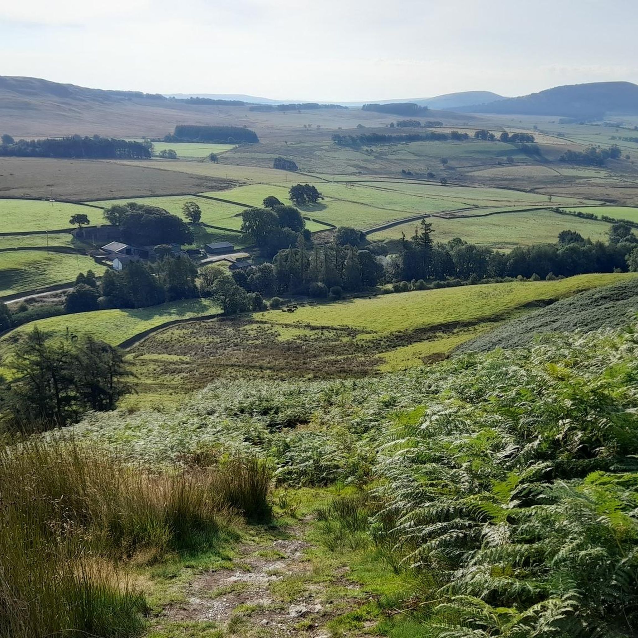
Blencathra offers many things. Very easy access from A66 with parking spaces near Scales (with a Pub there if you need one). Steep (depending route) and with exciting Sharp Edge (not for faint hearted). Very popular with fell runners, hikers and mountain bikers... Seen Paragliders in the area as well but not sure where they start from. Can be done in an hour (for runners) or longer depending on your stamina and determination. Gorgeous views in all directions, ideal for sunrise and sunset. Well worth a visit.
0
0

Went up Carrock Fell the steep way from the road. Didn't take long, but blimey it was cold on the top!
0
0


Decent walk either up to Blencathra, or on the way back down. Fantastic views over Keswick
0
0

Out of all the Northern Fells. This was the most painstaking to get to. I won't be back in a hurry to this summit. Not sure if it was the specific route I was following. But there is a wide river to cross which I image in lower rain fall. Would be easier to cross, ha I g the stones/rocks visible. However, if it's raining or there has been a lot of rain. The river is about shin hight and in parts fast flowing. We had to carry the dog in arms to cross. Afyer that, there is a section of roughage to follow which was very muddy. Before starting the steep, grassy acent to the summit. Perhaps approaching from a different direction would be better. But again, a lot of work for not the best views, in my opinion.
0
0
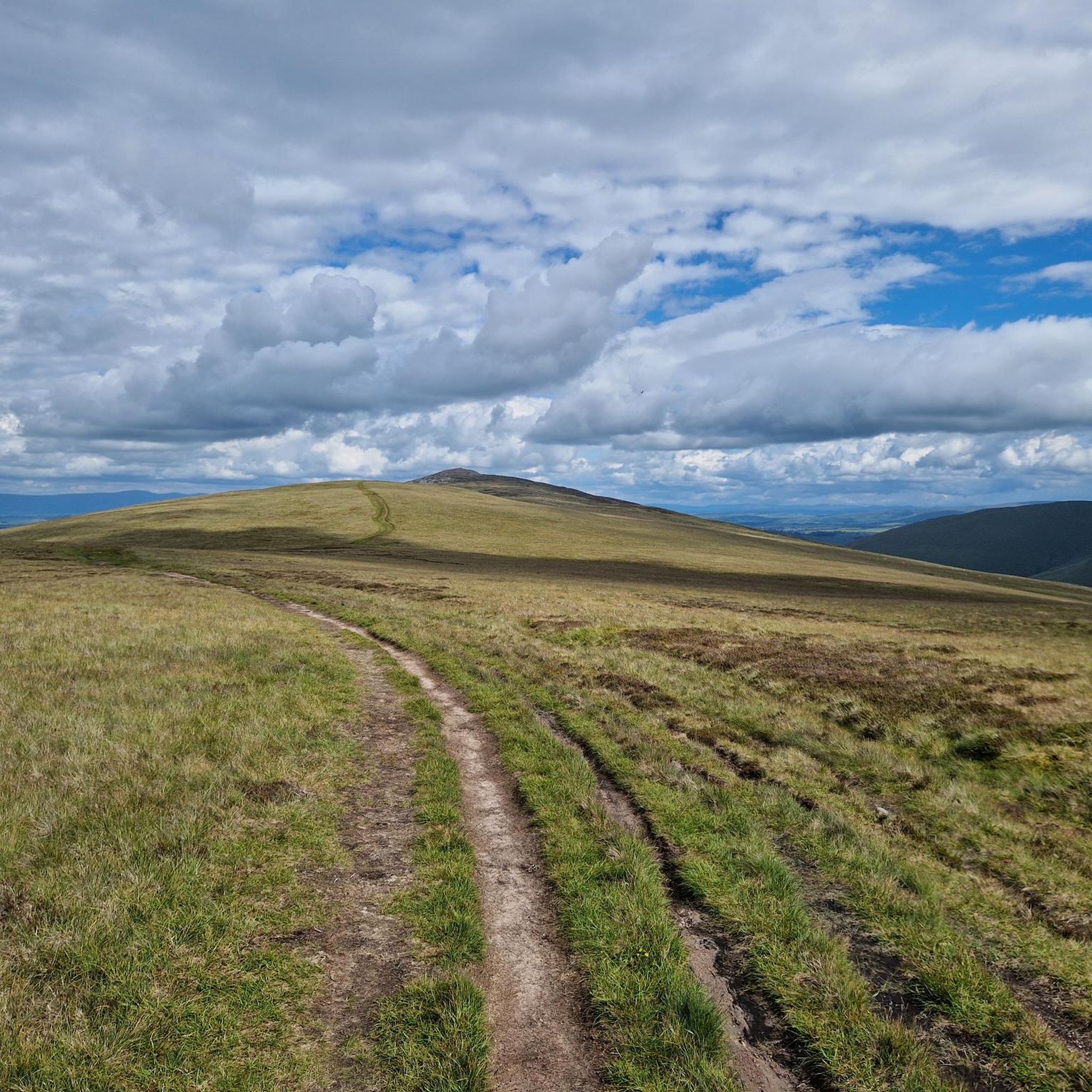
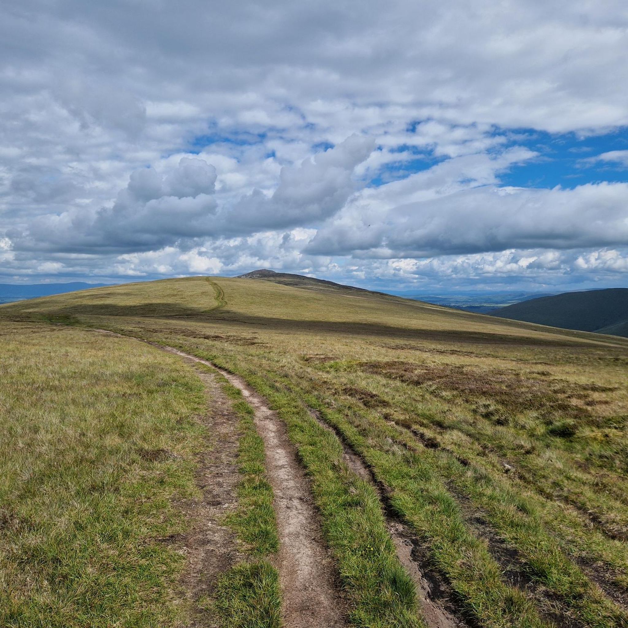
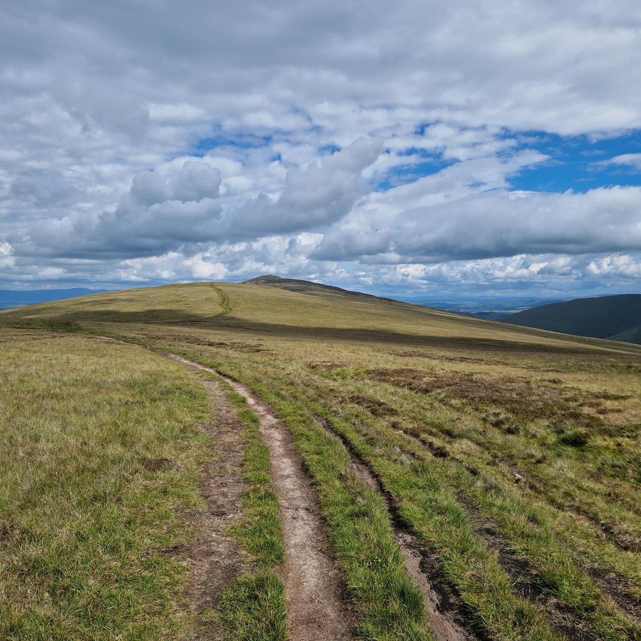
A gradual incline and there's a distant Blencathra in the distance to aim for.
0
0
A great view of Blencathra, Sharps Edge at the summit of this
0
0
Nice views of the nearby Fells if you have them. The summit offers a bit of a wind break if needed.
0
0
Frequently Asked Questions
How many running routes are available around Mungrisdale?
There are over 35 running routes around Mungrisdale, offering a wide range of options for different fitness levels and preferences. The komoot community has explored nearly 800 of these trails, providing valuable insights and ratings.
What kind of terrain can I expect on the jogging trails in Mungrisdale?
Mungrisdale's jogging trails are characterized by the rugged northern fells of the Lake District. You can expect a variety of terrain, from challenging ascents on fells like Blencathra and Souther Fell to more gentle paths in peaceful valleys such as Caldew Valley. Many routes feature significant climbs, offering both physical challenge and stunning natural scenery.
Are there any easy running routes for beginners in Mungrisdale?
While many routes in Mungrisdale feature significant climbs and are rated as difficult, there are some moderate options available. For instance, there are 7 routes categorized as moderate, which might be more suitable for beginners or those looking for a less strenuous run. These routes typically involve less elevation gain and shorter distances compared to the more challenging fell runs.
What are some notable natural features or viewpoints I can see while running in Mungrisdale?
The Mungrisdale area is rich in natural beauty. You can encounter imposing fells like Blencathra, Bowscale, and Carrock, offering breathtaking views. Picturesque valleys like Caldew Valley and Glenderaterra Valley feature attractive rivers and waterfalls, such as Sinen Gill. Don't miss the classic corrie tarn, Bowscale Tarn, known for its wild and moody setting. Highlights like Scales Tarn and Blencathra Summit offer particularly rewarding panoramas.
Are there any circular running routes in the Mungrisdale area?
Yes, many of the running routes around Mungrisdale are circular, allowing you to start and finish at the same point. For example, the challenging Blencathra & Scales Tarn loop from Comb Beck Bridge is a popular circular option. Another great choice is the Blencathra loop from Scales, which offers extensive views across the fells.
What do other runners enjoy most about the trails in Mungrisdale?
The running trails in Mungrisdale are highly rated by the komoot community, with an average score of 4.2 stars. Runners often praise the challenging ascents, the sense of remoteness, and the stunning, expansive panoramas of shimmering lakes and craggy hilltops that are characteristic of the Lake District National Park.
Are there any running routes that are suitable for families in Mungrisdale?
While many routes in Mungrisdale involve significant elevation and are rated as difficult, the region does offer a variety of trails. For family-friendly options, look for routes described as 'easy' (up to 2 hours and 1,000 ft of elevation gain) or 'moderate' in the wider Lake District area. The peaceful valleys, such as Caldew Valley, might offer more gentle paths suitable for a family outing, though specific 'easy' running routes are limited in the immediate Mungrisdale guide data.
Can I bring my dog on the running trails around Mungrisdale?
The Lake District is generally very dog-friendly, and many trails around Mungrisdale are suitable for running with dogs. However, it's crucial to keep dogs on a lead, especially in areas with livestock or ground-nesting birds, and to follow the Countryside Code. Always check specific route details for any restrictions, particularly in sensitive conservation areas or on private land.
Are there places to park near the running routes in Mungrisdale?
Yes, many running routes in the Mungrisdale area have parking available nearby. For example, routes like the Blencathra & Scales Tarn loop from Comb Beck Bridge often start from locations with designated parking areas. It's always advisable to check the starting point of your chosen route for specific parking information before you set off.
How long do the running routes in Mungrisdale typically take to complete?
The duration of running routes in Mungrisdale varies significantly based on distance and elevation gain. For instance, the Blencathra & Scales Tarn loop from Comb Beck Bridge, a 4.4-mile (7.2 km) difficult trail, typically takes around 1 hour 21 minutes. Longer, more challenging routes like the Blencathra – Atkinson Pike loop from Mungrisdale, at 9.1 miles (14.7 km), can take approximately 2 hours 23 minutes.
What is the best time of year for running in Mungrisdale?
The northern fells of Mungrisdale offer rewarding views and a sense of remoteness, especially during the summer months. However, the area is beautiful year-round. Be aware that weather conditions can change rapidly in the Lake District. Winter running can be challenging due to potential snow, ice, and shorter daylight hours, requiring appropriate gear and experience. Always check local weather forecasts before heading out.
Are there any cafes or pubs near the running trails in Mungrisdale?
Mungrisdale is a small, remote village, but the wider Lake District area offers various amenities. While specific cafes directly on the trails might be limited, you can often find pubs or cafes in nearby villages or towns. It's a good idea to plan your route to pass through or finish near a village if you're looking for refreshments after your run.
Are there any less crowded running trails in Mungrisdale?
The northern fells, particularly 'at the back of Skiddaw and Blencathra,' are noted for their sense of remoteness, especially during the summer. If you're looking to avoid crowds, exploring some of the less frequented paths around fells like Souther Fell, Bowscale, or Carrock, or venturing into the peaceful Glenderaterra Valley, might offer a more solitary running experience compared to the most popular summits.
Most popular routes around Mungrisdale
Most popular attractions around Mungrisdale

Get inspired with the komoot mobile app


Explore more
Browse the best Running Trails & Routes in other regions.
